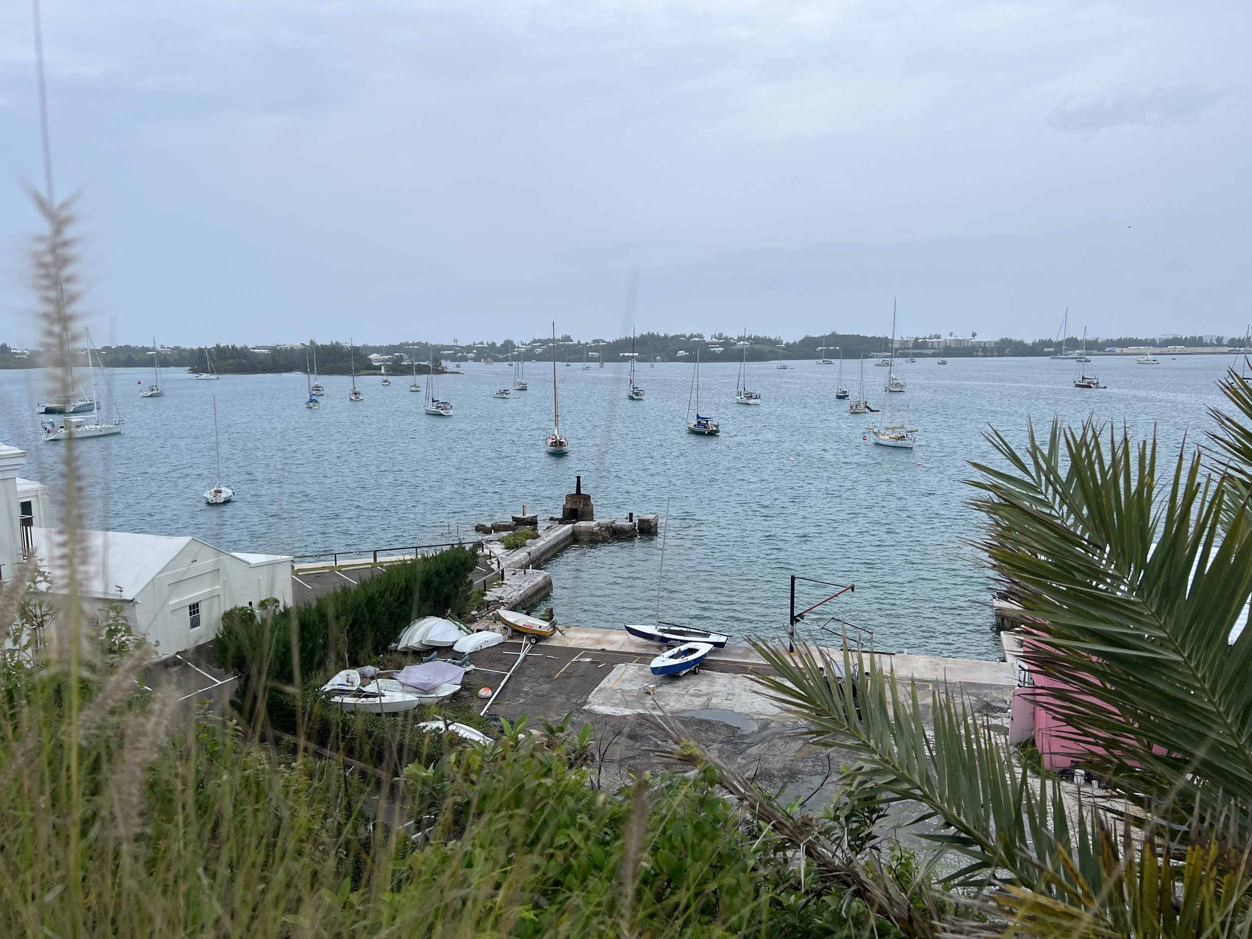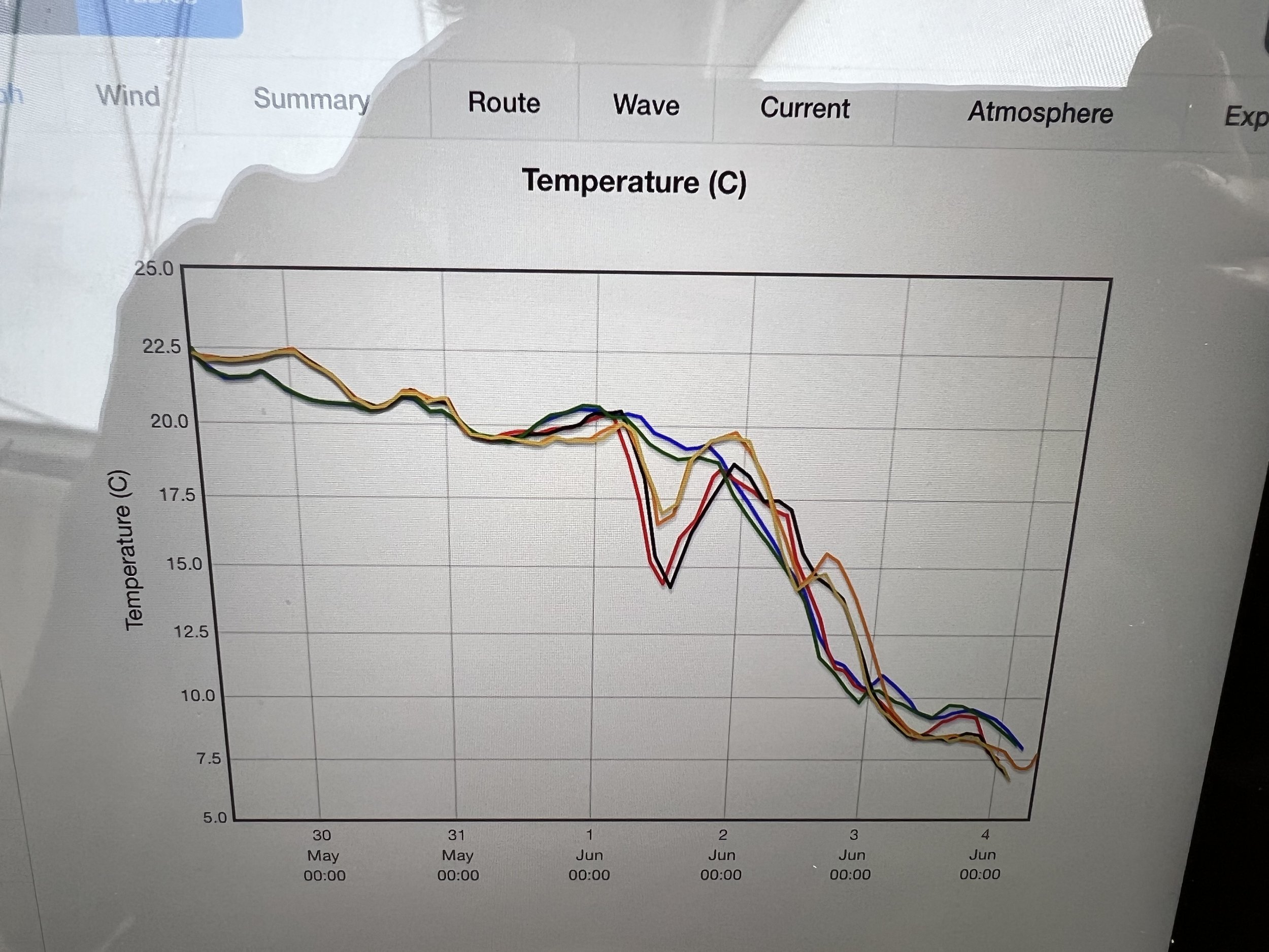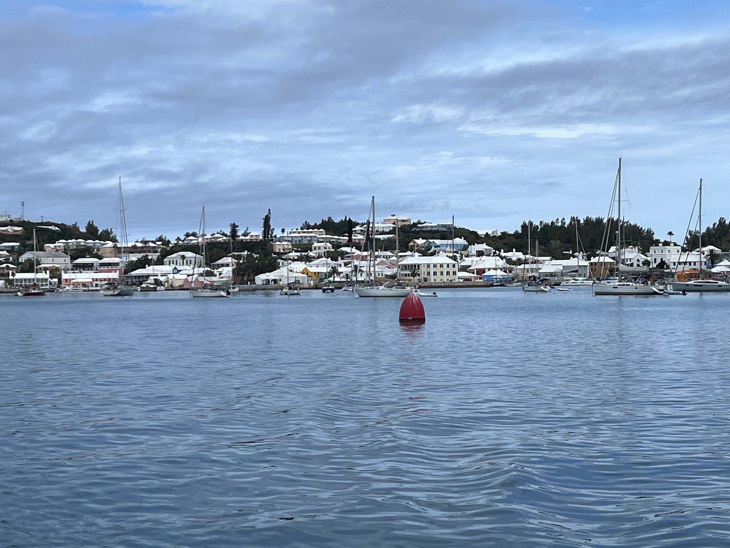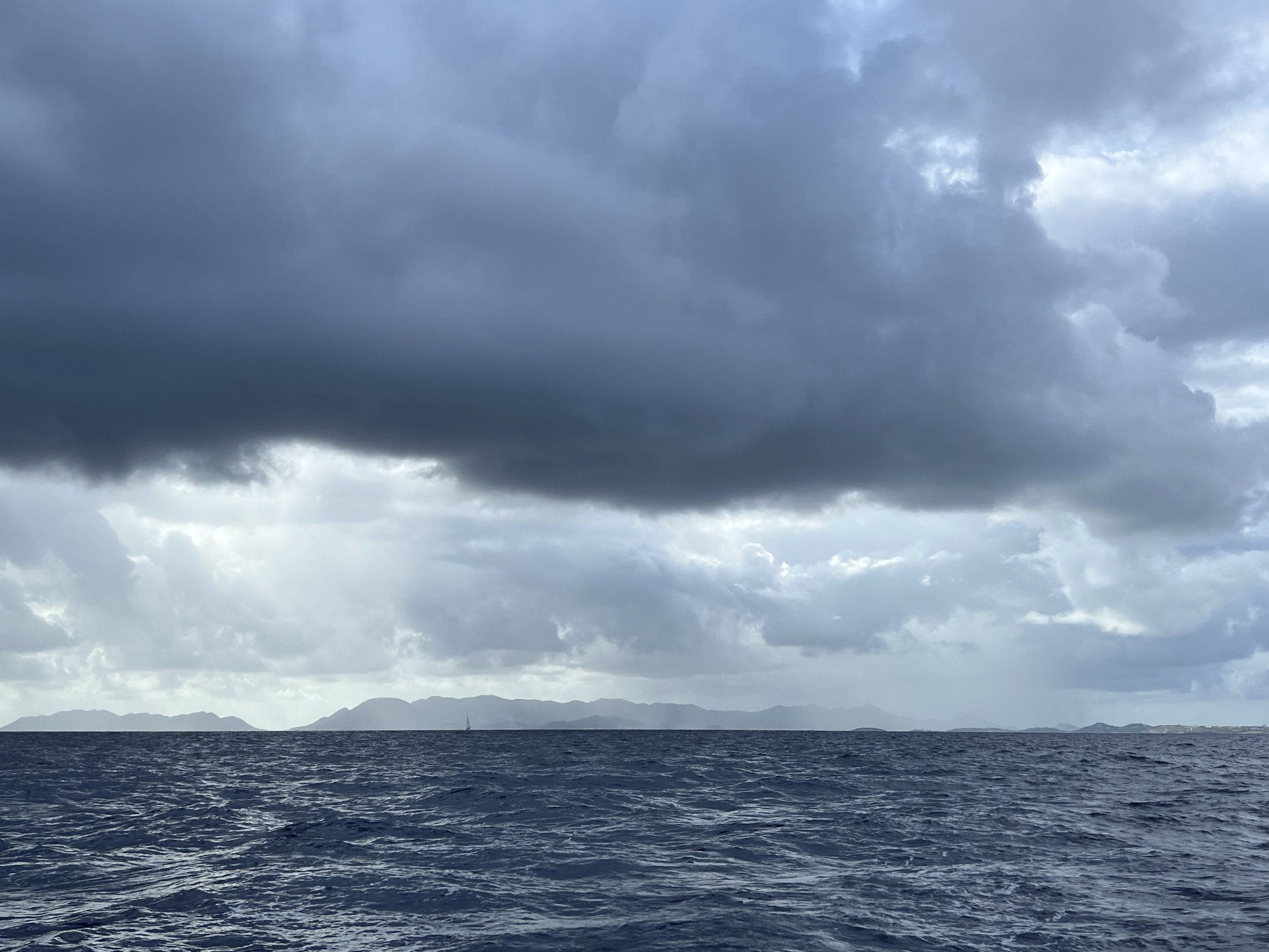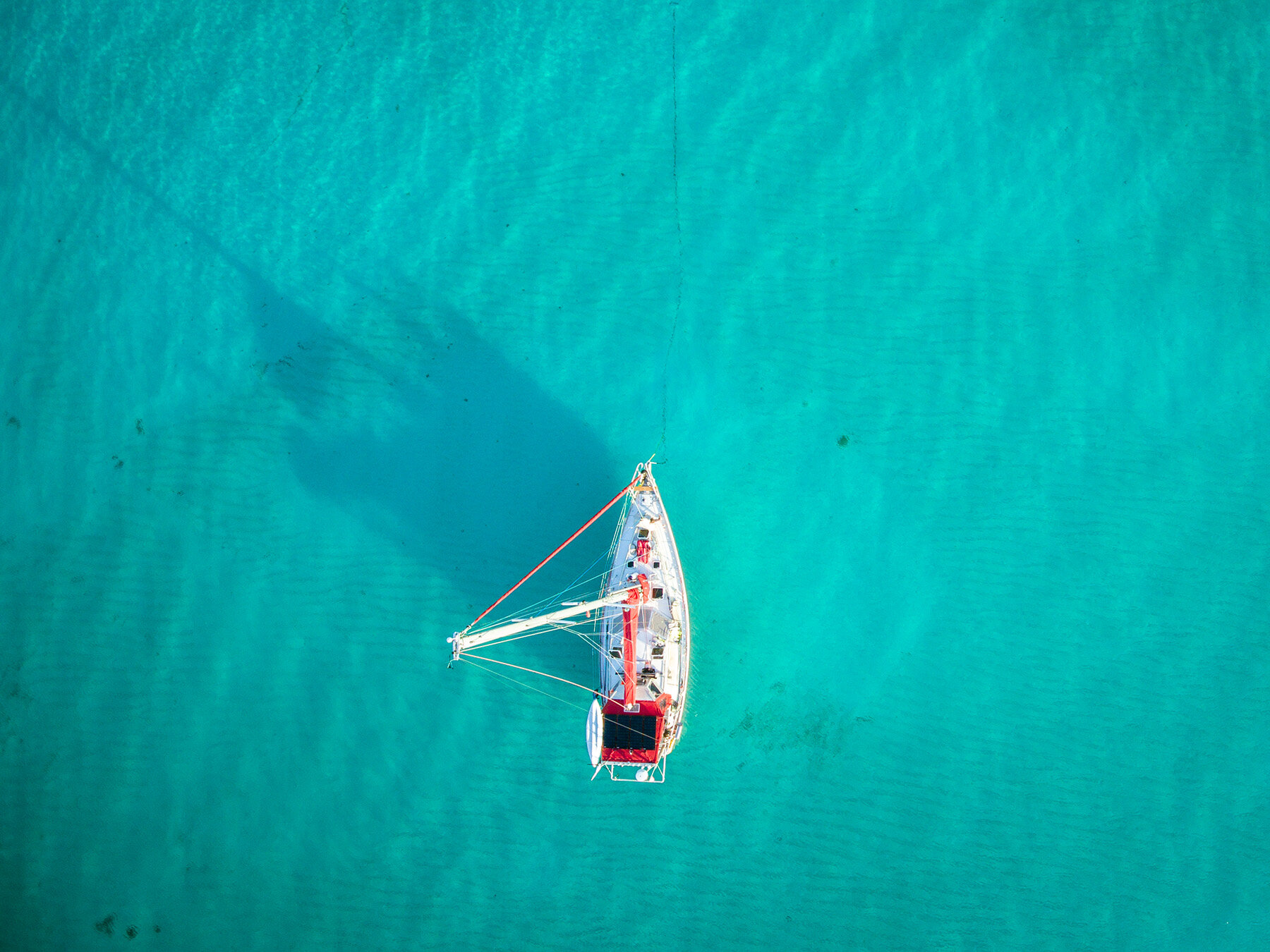
Newfoundland revealed.
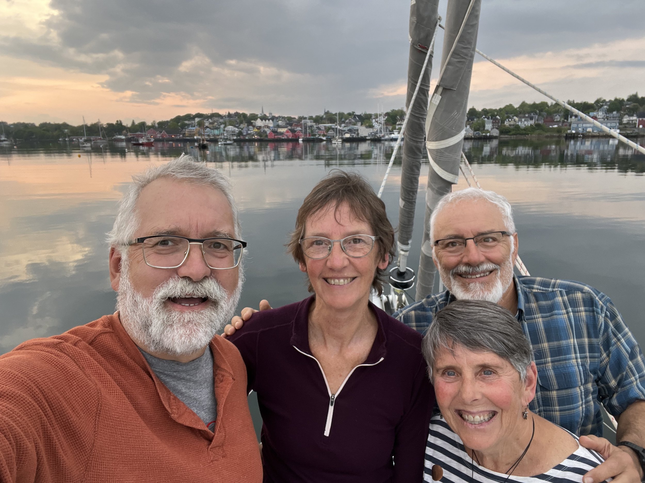
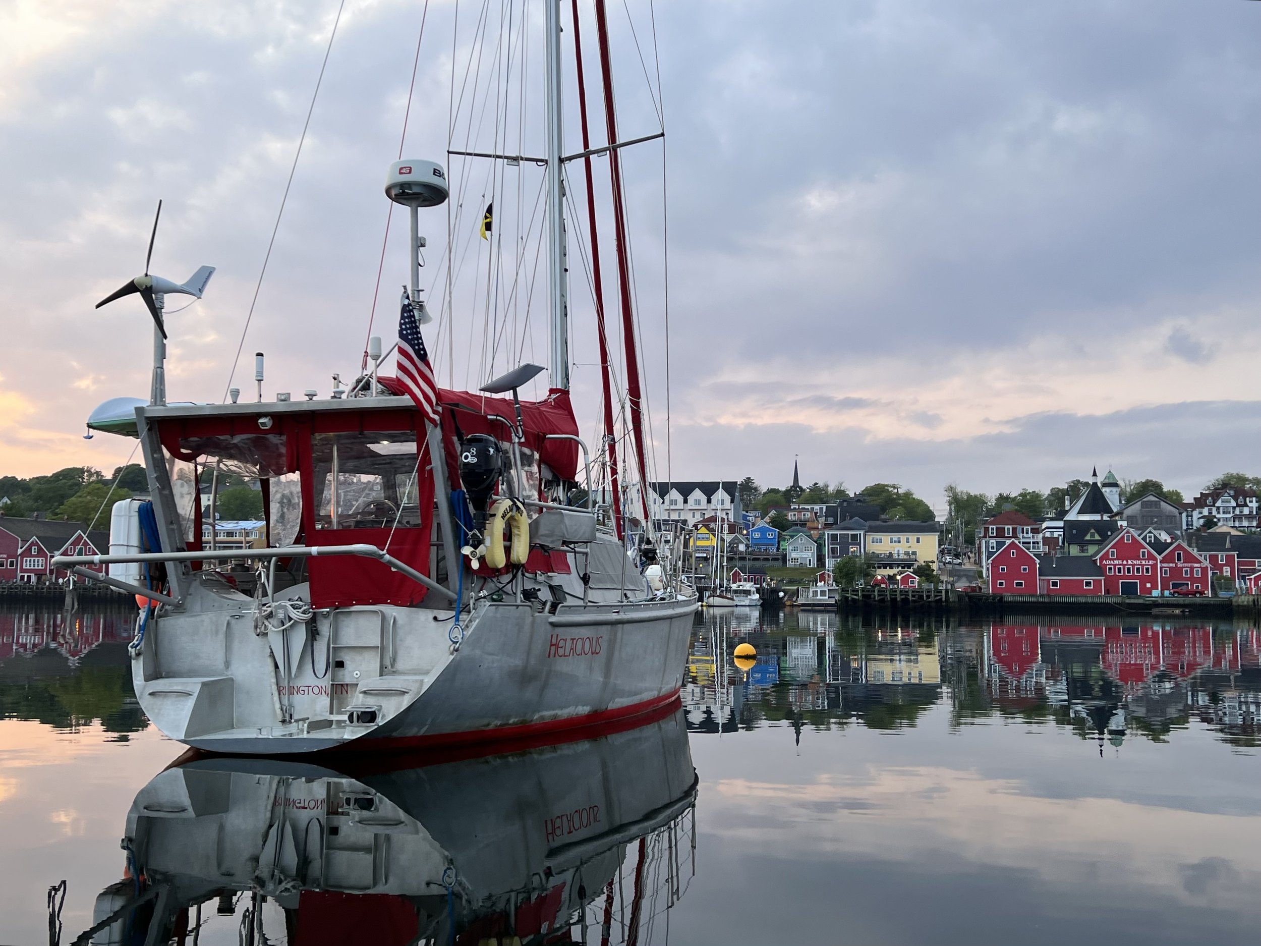
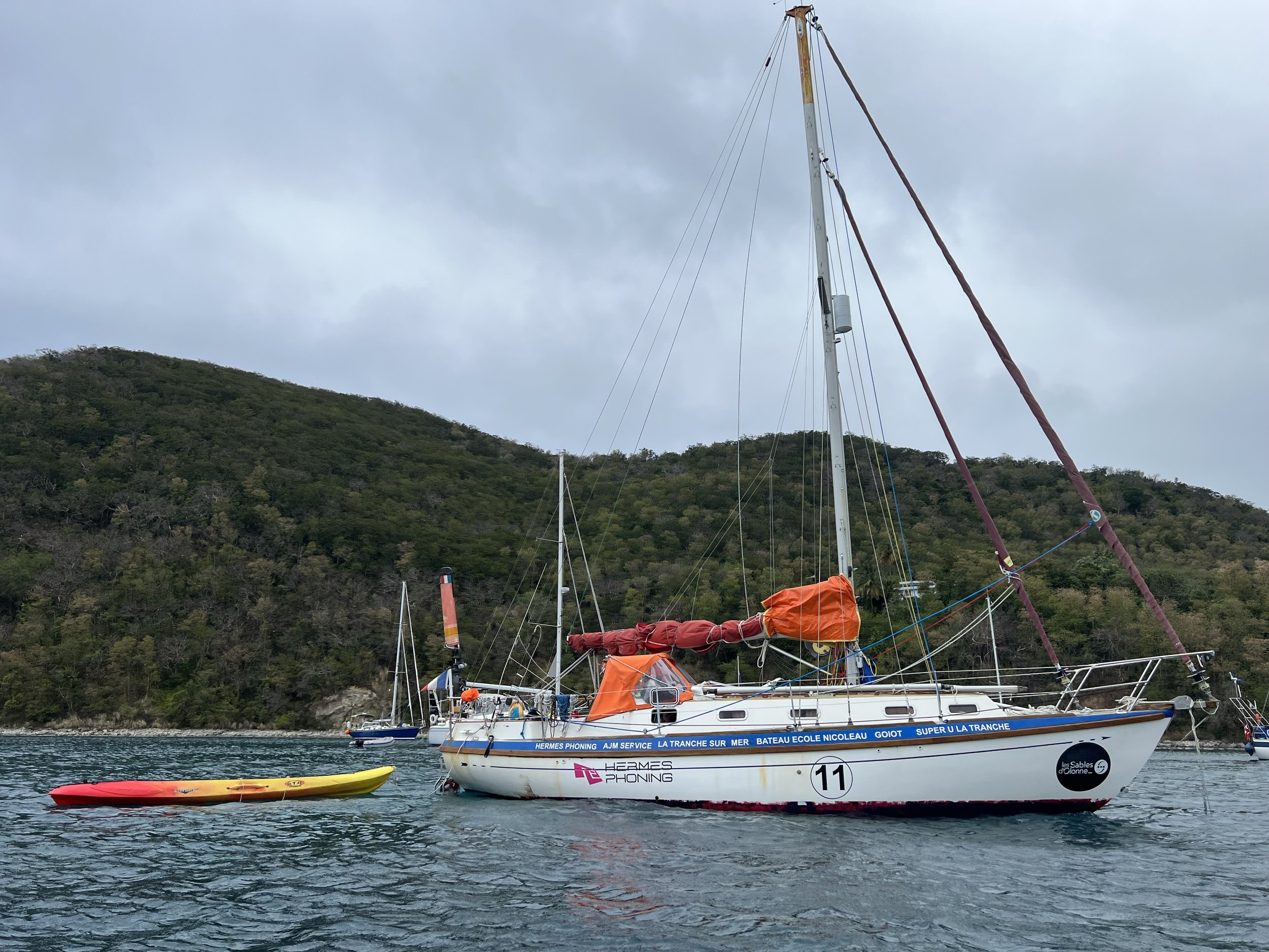
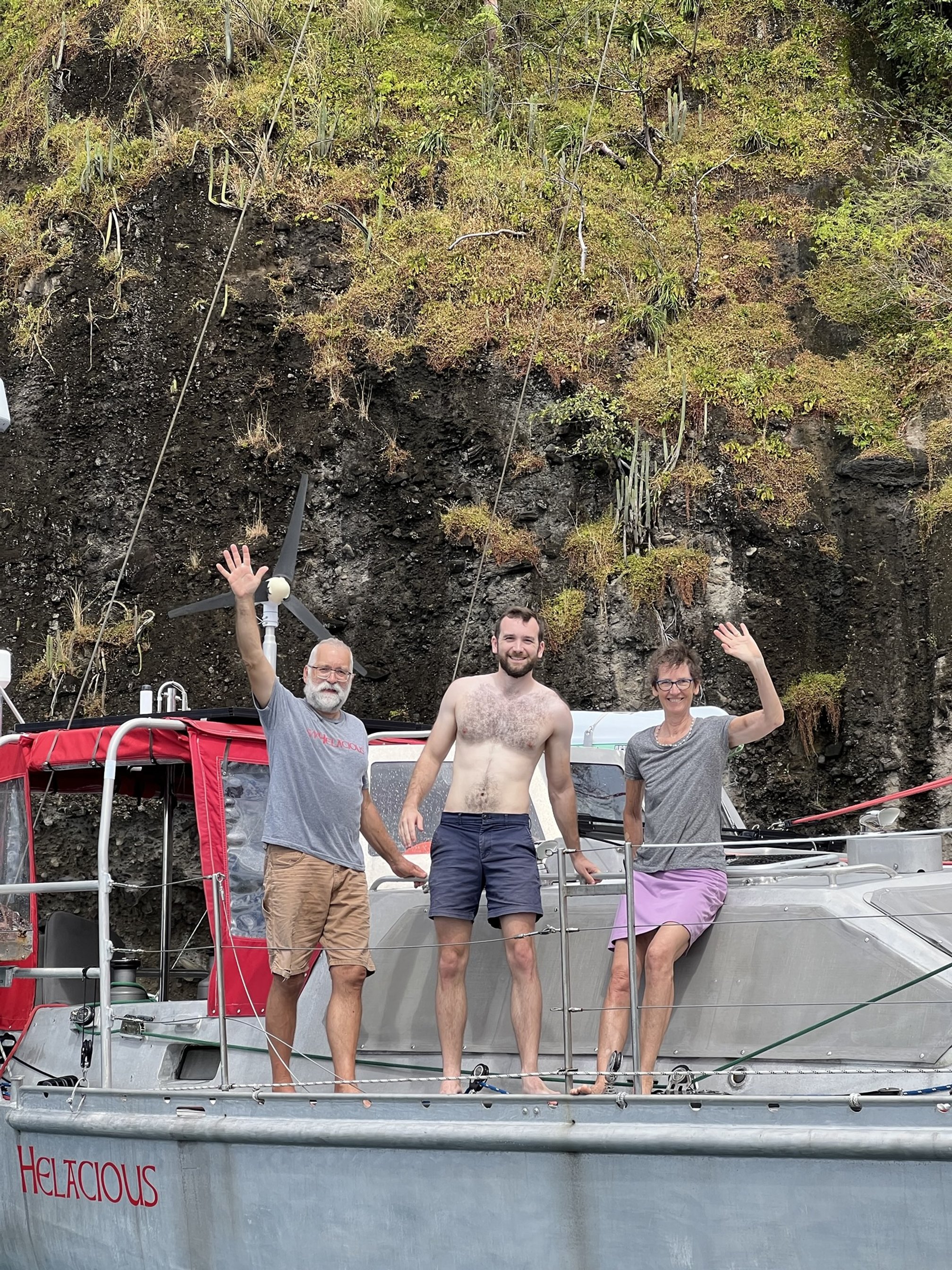
Helacious in La Hune Bay.
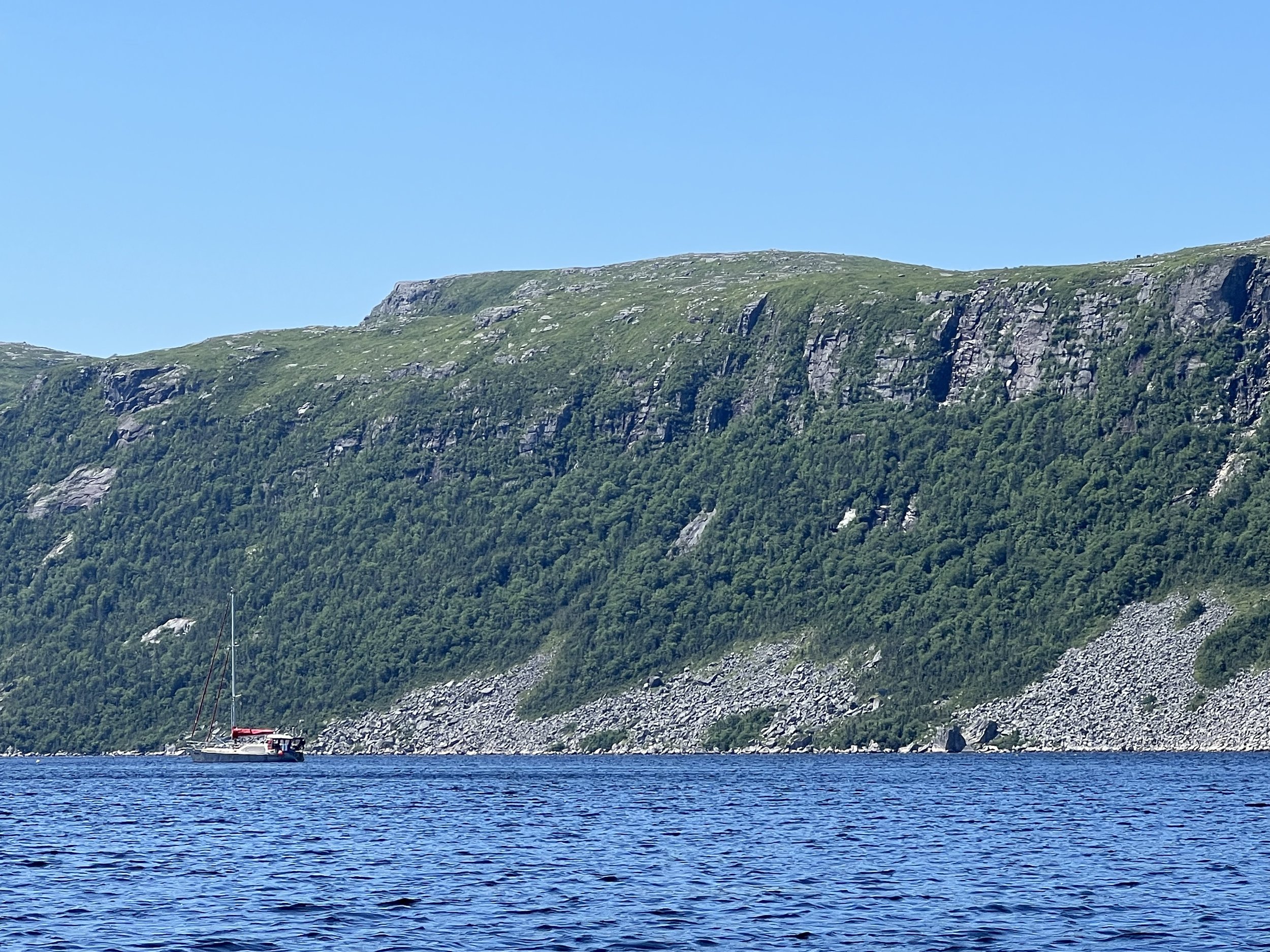
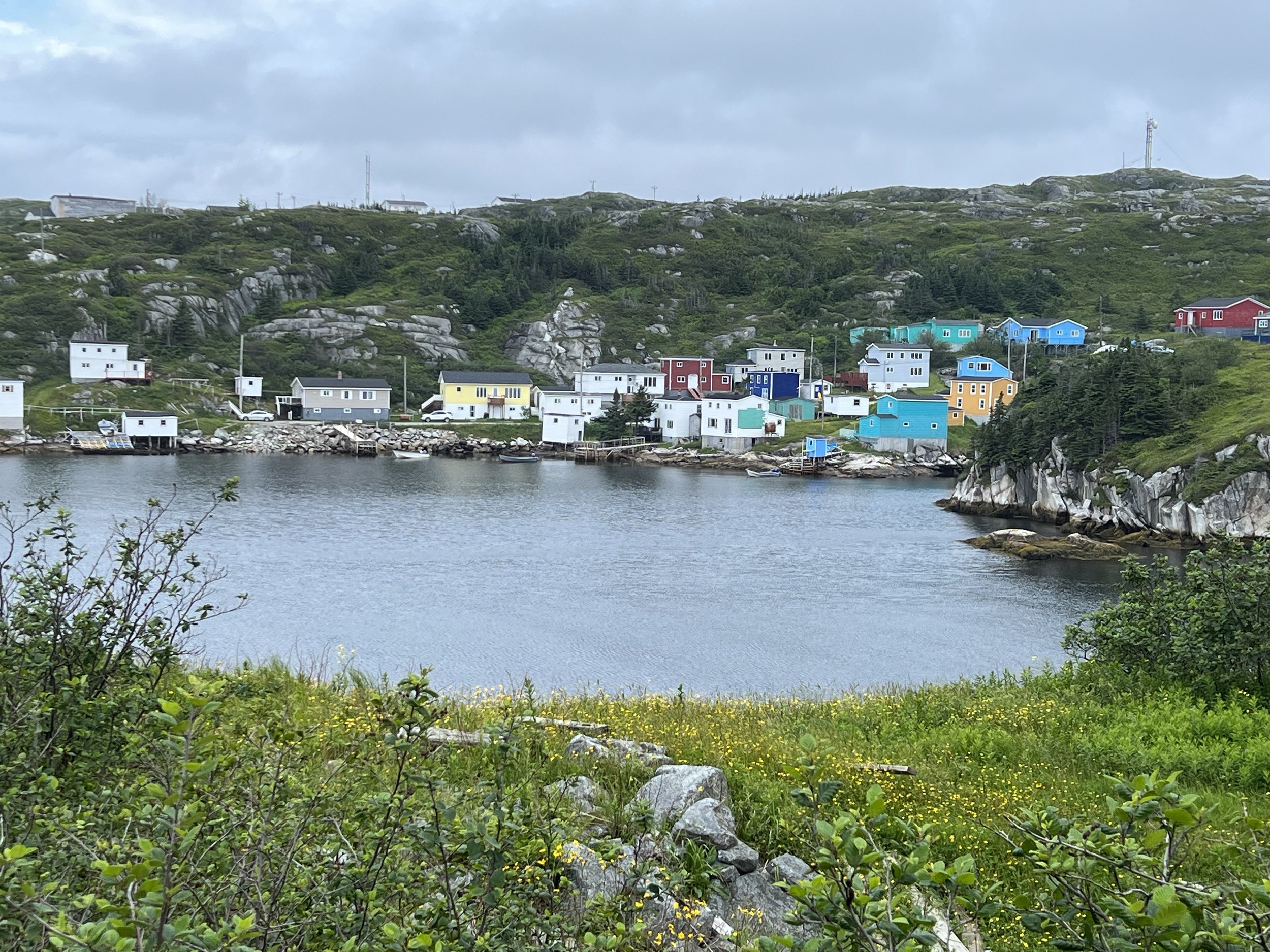
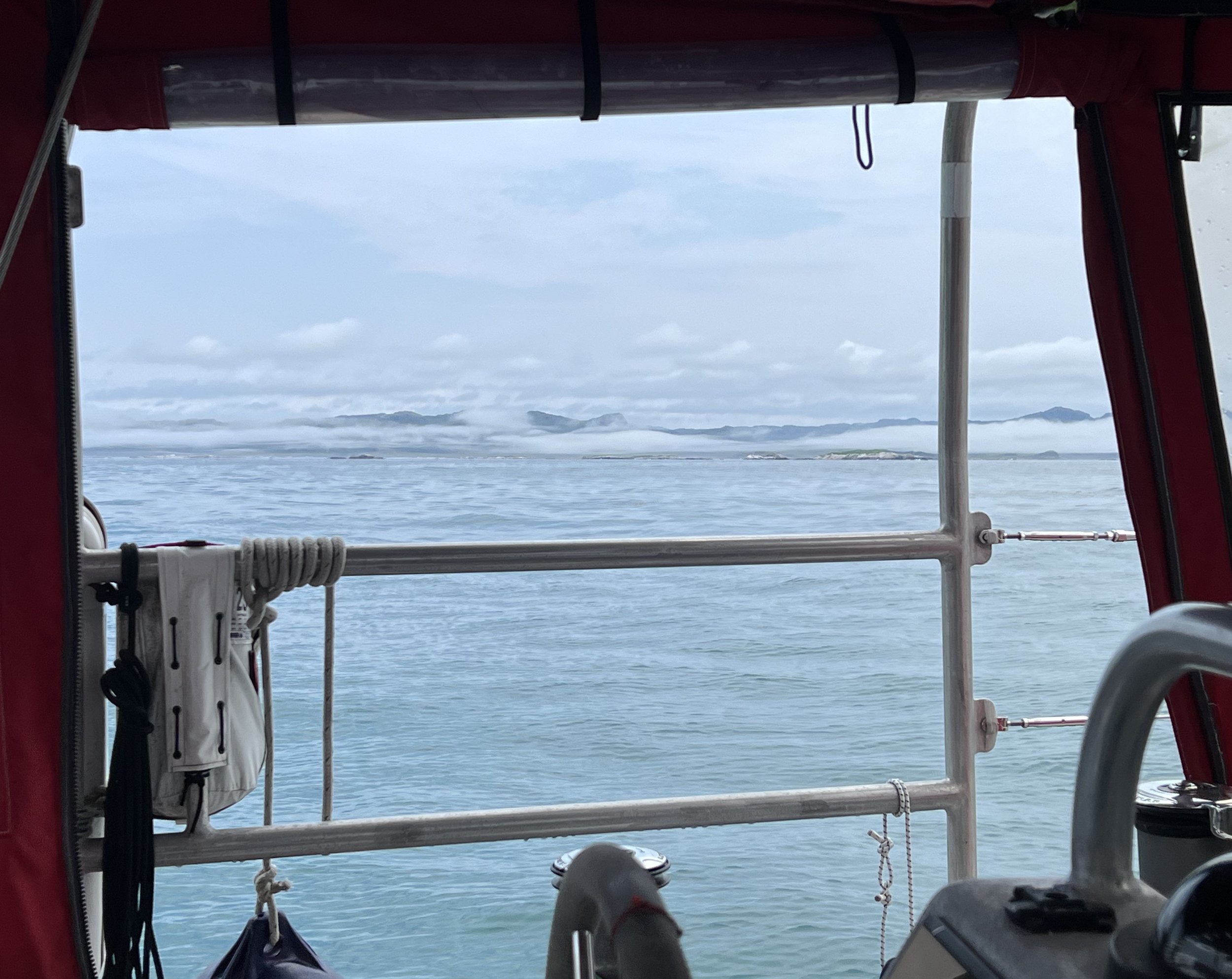
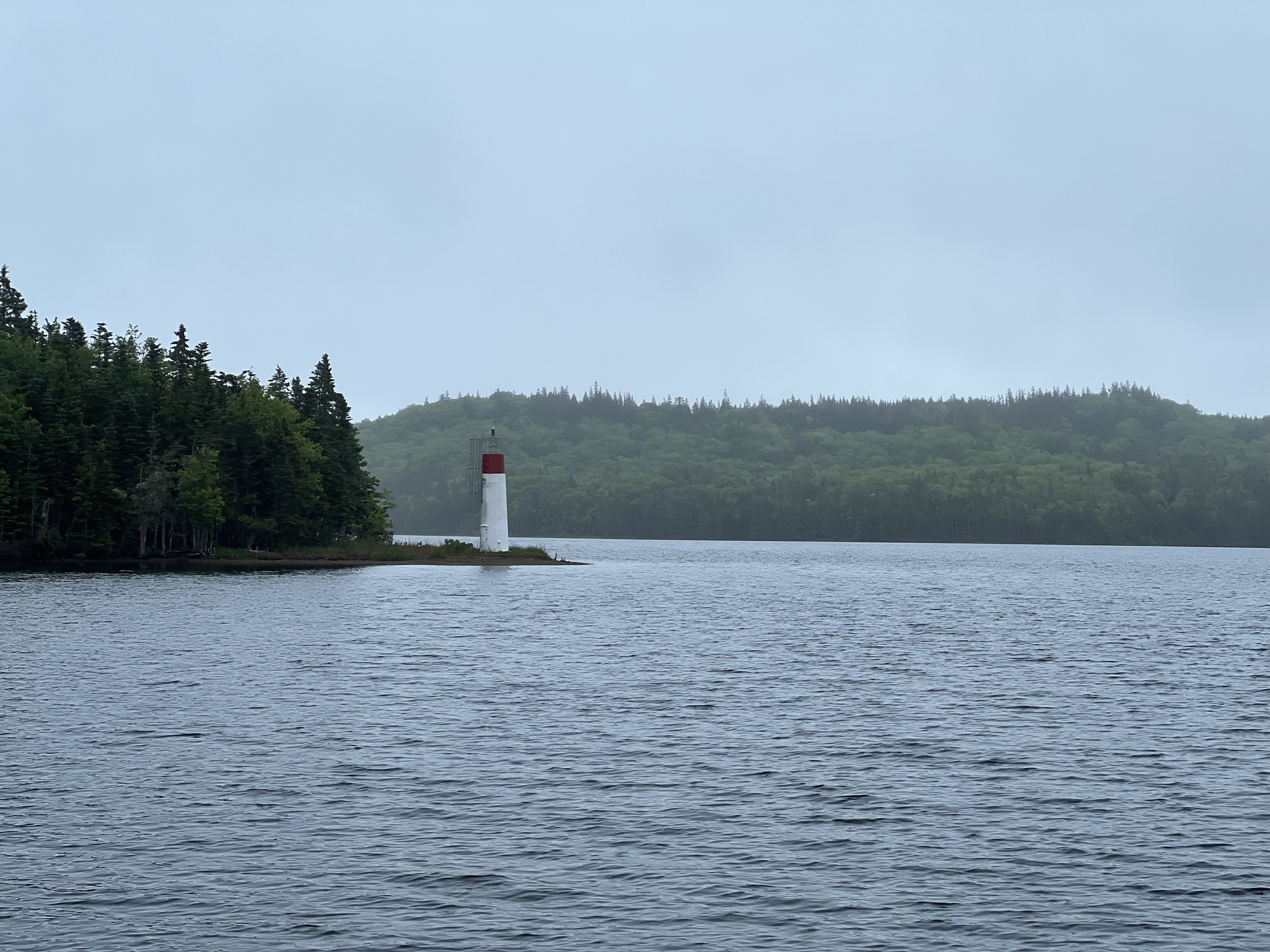
The constant fog we had experienced so far was wearing. Sensory deprivation, no colors, no scenery. We decided to see if inland the weather was better. White Bear Bay is one of the longer fjords along this coast so we took Helacious up there. It worked! As we started the 7 mile journey into the fjord the fog thinned and the many waterfalls, no doubt engorged by the recent rains, came into view.
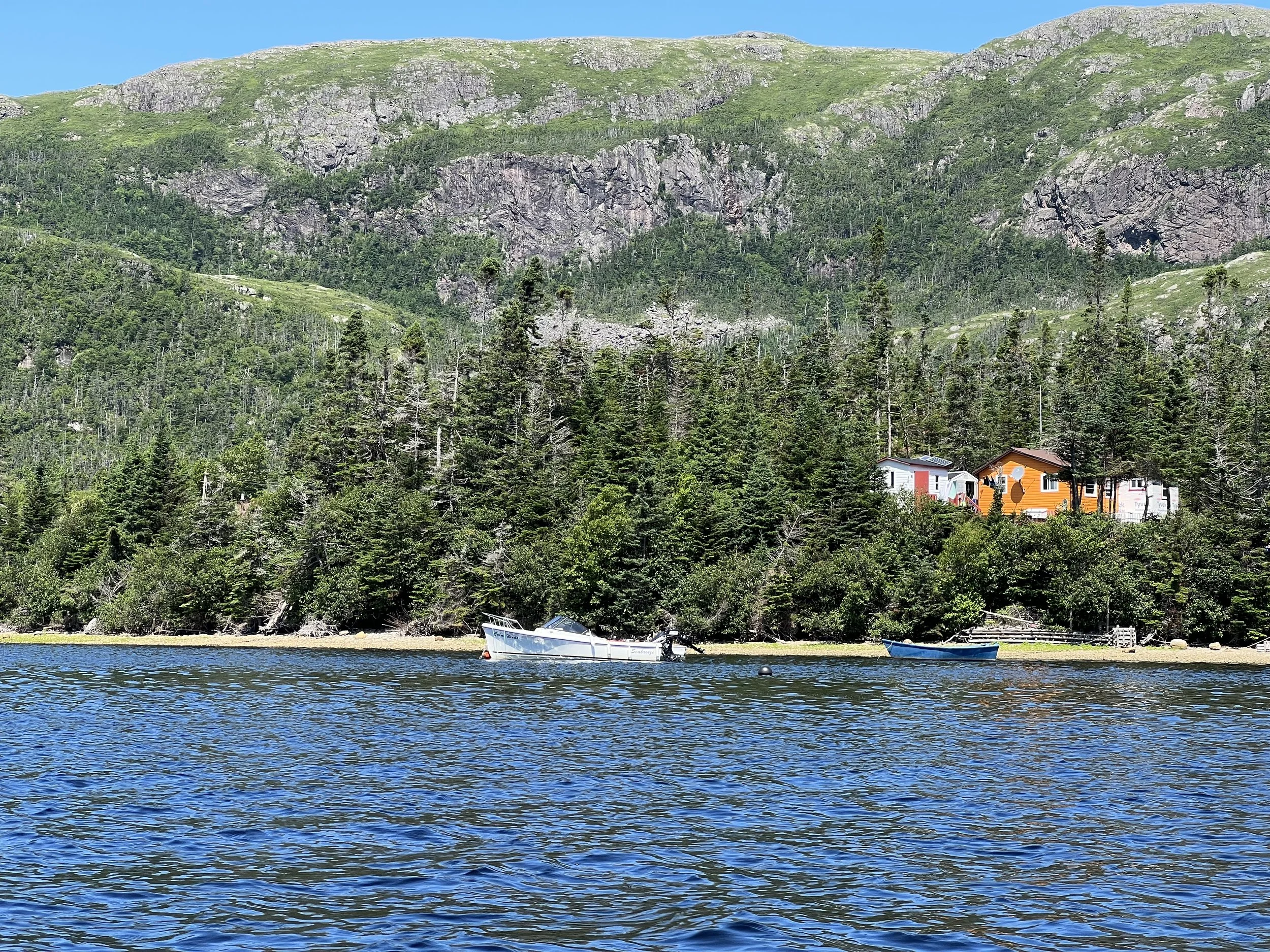
We anchored near the head of the bay, just past Blow Me Down Point. There were a few cabins here as the cliffs gave way to rolling hills.
We took the dinghy to the head of the fjord where it transitioned into a river. We spied a family of otters fishing- successfully pulling trout from the water one after another, then eating them on the bank. We followed for quite a while as they stayed just ahead of us, always watching to make sure we did not get too close.
The following day we decided to try and catch some of those trout. We returned to the same spot but had no luck. We met a boat of local Newfoundlanders who were just returning from fly fishing for salmon further up the river. As they left us their outboard failed to start. We ended up towing them the 2 miles back to the cabin with our little electric motor. It did surprisingly well.
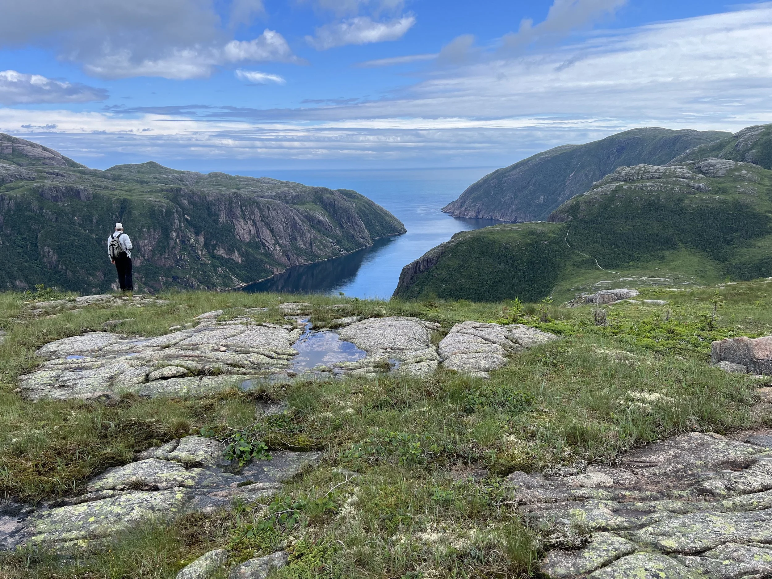
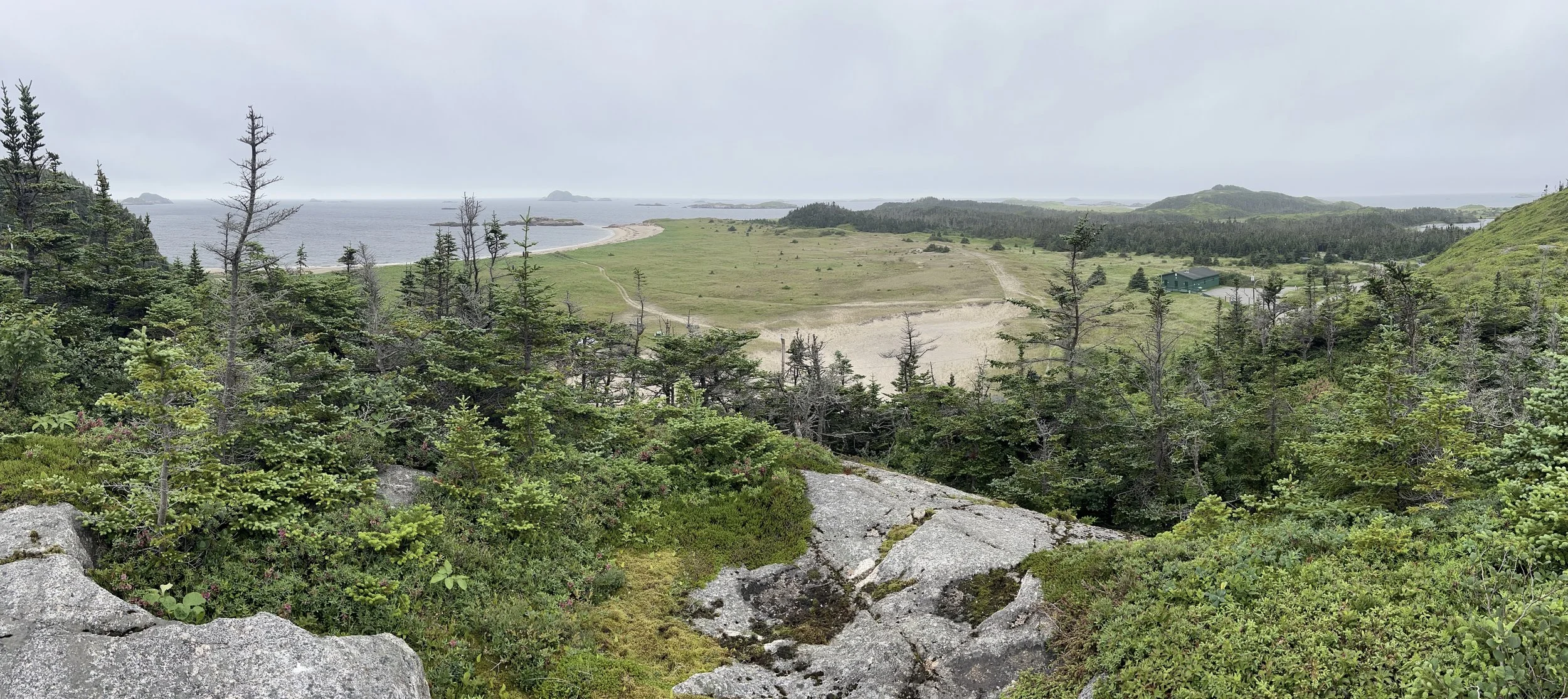
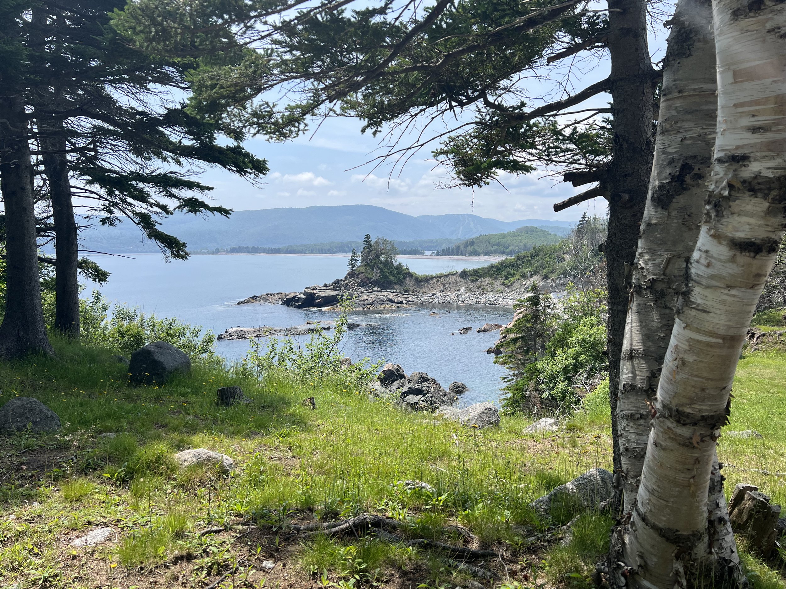
After chatting to Mary and Henry, and their guests Joy and Bill, we were invited back in the afternoon to go for a hike on their trail up to the hills behind the cabin. This was wonderful as most everywhere we have been the undergrowth is impenetrable right from the waters edge. We followed the mossy trail over a stream, up through the woodland and out to the top of the hill. The views up and down White Bear Bay were spectacular. The black flies were fierce. Brian broke out the head net. Unfortunately I did not, thinking I was protected with my hood and cap; I suffered the next few days with welts on every bit of exposed skin.
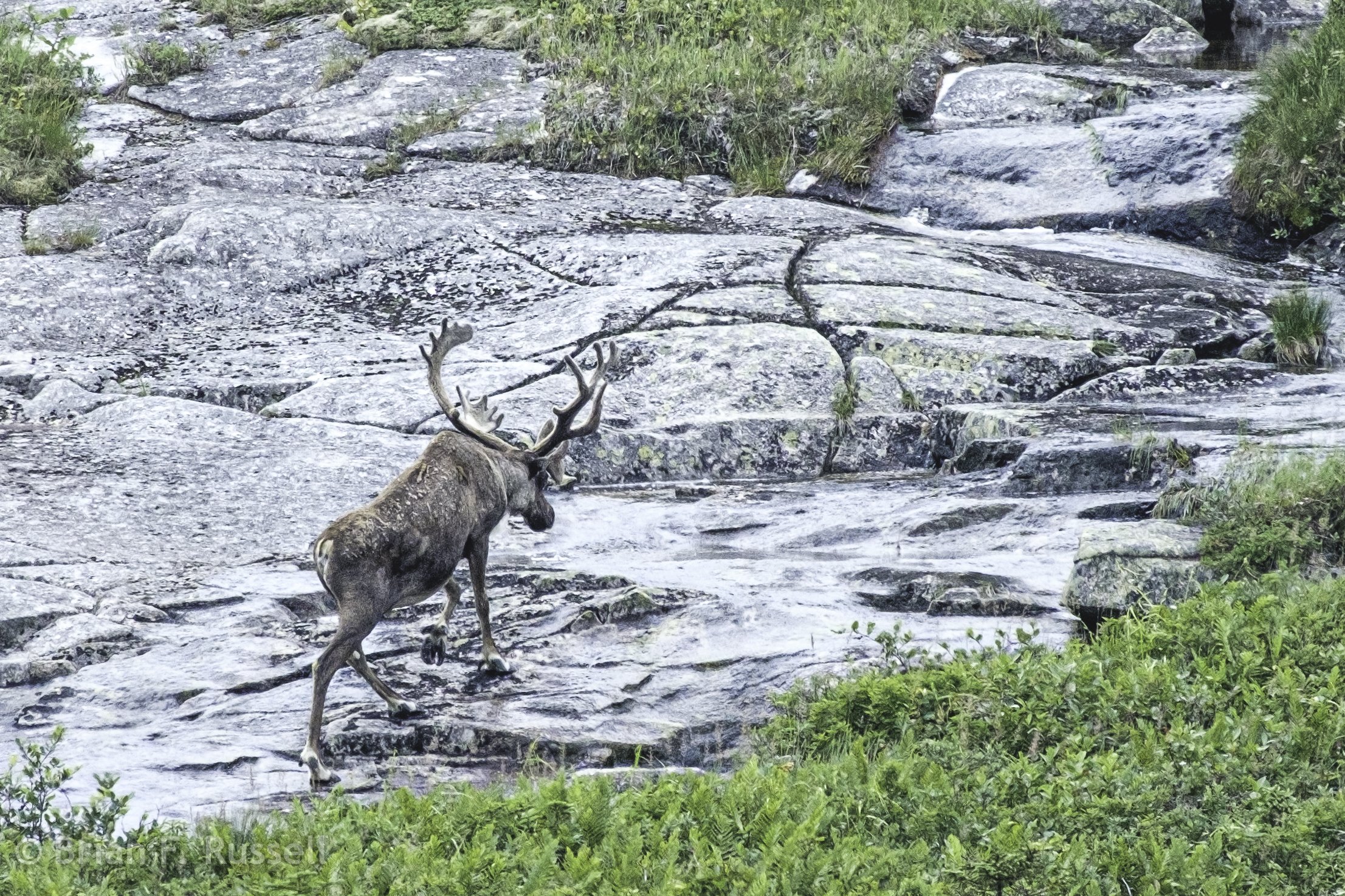
From the peak we looked back to the interior of Newfoundland. It rolls on for over 100 miles before reaching a road. It was incredible to think of so much wilderness. As we scanned the hillside we saw a large male caribou browsing on vegetation and wandering in our direction. It was a fantastic 20 minutes or so before we were spotted and he turned tail and trotted off.
Back down at Henry and Mary’s cabin we sat around the fire pit and were treated to drinks chilled with iceberg ice. Bill had collected some growlers near his home on the east coast of Newfoundland. 12,000 year old freshwater ice from the glaciers of Greenland! As the ice crackled and popped in our glasses we learned about Henry and Mary’s second career as hunting guides, taking folk from all over the world into the back country to hunt for Moose, Caribou and Bear. It was a perfect day, thank you so much.
The following day we pulled up the anchor and headed eastwards down the coast. La Hune Bay was described as a “not to be missed” anchorage in our cruising guide. Of course we would not want to bypass such a spot.
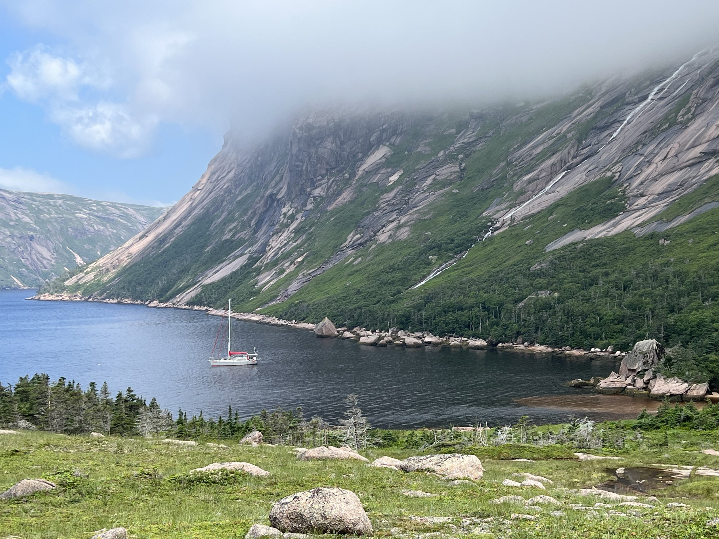
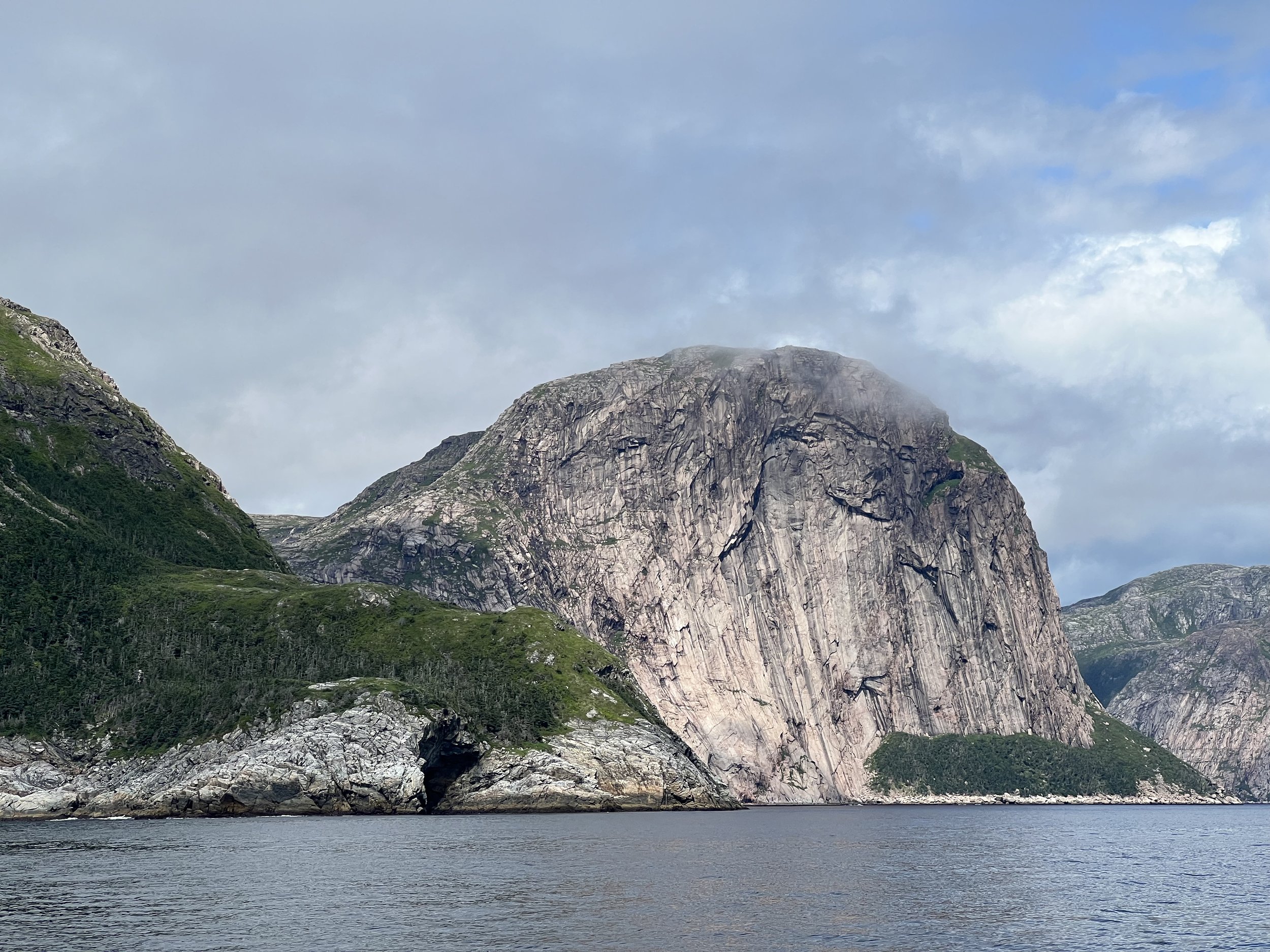
The huge towering smooth slabs of pink granite, the waterfall cascading down, the lush green pasture, and the sunshine. This was perfect.
The following afternoon the wind began to pick up and our anchor began to drag. The holding in gravel was not sufficient to be comfortable overnight. We pulled up and took a very sporty trip around the headland to a different cove. Here we were sheltered from the winds, but unfortunately not the swell and we had a very rolly night. We moved on. Our next stop was a small outport called Francois (pronounced Fransway) nestled at the head of the bay at the base of some impressive cliffs.
The visitors pontoon, although plenty long for at least 6 boats, was fully occupied by two visiting yachts and a few local rowing boats, tied tightly and permanently in the middle and a chain securing the pontoon taking up the last available space. It is as if they did not want visitors. We moved over and rafted to a fishing boat on the commercial dock.
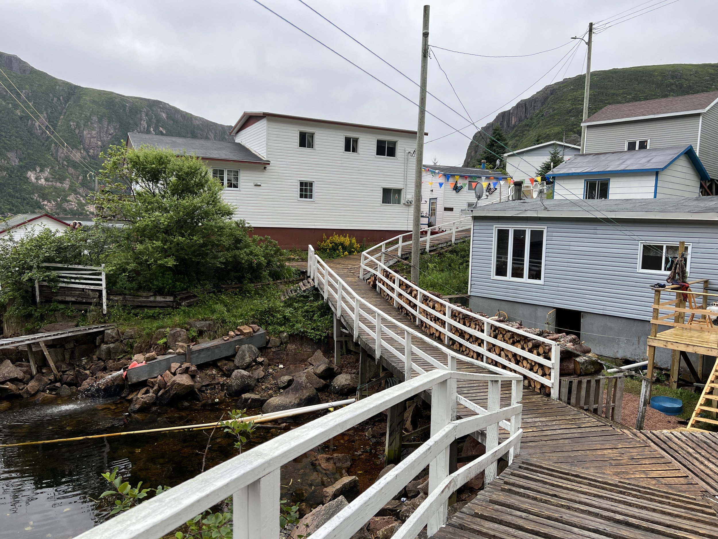
The following day rain cleared off and we went for a look around. The yards were creatively decorated and the maze of boardwalks weaving between the houses were extensive. Then a hike up and around the cliff tops, and over “The Friar’.
After buying a few supplies (milk, bread and some limp green onions) at Sharons Place grocery store we left to head for Devils Bay. On the way we were doing a little fishing for cod when this sunfish floated by.
The entrance to Devils Bay is guarded by an impressive rock. Blow Me Down Cliff ( a different One from White Bear) is on the list of rock climbing destinations. We passed on that opportunity and anchored at the head of the bay.
The next couple of days we soaked up the sun and enjoyed the results of Brians fishing trips. We smoked some of the mackerel he caught, delicious. The shy Loons who lived at the head of the bay were chased by Brian and his camera, with great results.
Our next stop was yet another “not to be missed” anchorage. Hare Bay has a very narrow entrance between towering cliffs scattered with waterfalls, then opens up to a large bay with two arms. We anchored in the northwest arm. That evening we enjoyed the sunset, the first we have seen for a while as usually our view of the western horizon is obscured by cliffs.
Sunset in Hare Bay. Below we woke up to fog, but it lifted after a couple of hours to blue skies.
We took Dingbat (the dinghy) on a long trip to the northern arm of Hare Bay. Here there was a waterfall…. not to be missed! The scenery as we puttered along was dramatic in its grandeur. The second photo has a yacht in it, so the scale of these cliffs can be appreciated.
Securing Dingbat at the base of the cascading waterfall, we clambered along the waters edge and climbed up the slab like rocks to view the falls. They were indeed, spectacular. And the volume of water!!
Despite the now outgoing tide against us, and the contrary wind, we managed to return the 5 miles to Helacious with the electric outboard, 25% left on the battery. It really is quite good. I must admit I was relieved, I had not wanted to resort to rowing the dinghy. The next few days were gusty then drizzly and overcast, good days to do some home repairs and laundry. Supplies were running low. We had to leave Canada.
Foggy and Boggy
Helacious anchored in Squid Hole, Newfoundland.
Crossing over Cabot Strait or “the Chuck” from Nova Scotia to Newfoundland was much more pleasant than the name would suggest. I think we were fortunate with the light winds from the previous few days keeping the seas flat. It was foggy however and we arrived in Port aux Basques early evening with just enough visibility to see the public wharf and get ourselves secured. The wind was building and it blew hard from the east for the next four days. We had doubled all the lines and hunkered down inside Helacious, the diesel heater keeping us nice and warm. We were on the leeward side of the dock, fortunately. However, it did mean getting on and off the boat was a challenge. We finally worked out a way to run a line to the winch to pull us in close enough to the dock to allow us to clamber off.
The boat tied up in front of us was from Norway, they recognized Helacious from our stay in Tromso last year!
Port aux Basques is not picturesque. It is functional and the buildings were very basic. Maybe it was due to the weather, but we saw very little activity. The streets were deserted by 5pm and it seemed the evening entertainment was to sit at the dock in your car, watching us and maybe the ferry arrive.
Finally the wind eased, although it was still from the east, but we were determined to move on. We called harbor control to get permission to depart. This was necessary as the entrance was extremely narrow and the giant ferries, once they get moving, go very fast, impossible to outrun. We were given permission - the ferry was not due to depart for another hour. We slipped our lines and were heading out to the channel when hailed on the radio. The ferry decided it was going to leave NOW, and we were in its way. We managed to dodge out of the channel to let it fly by. So much for a timetable.
We motored just 5 miles down the coast and popped into a lovely circular anchorage called Squid Hole. It had a narrow entrance, but then opened up and was protected from wind and swell 360 degrees. It was damp and foggy, but Brian was determined to go fishing, so off he went. The fish were not biting today, but the fog did lift and the sun came out, so we took the dinghy in to shore to see if we could hike up to a high spot for photo opportunity. We discovered, once ashore, the deceptively green and lush foliage covered thick boggy land, that occasionally gave way to small ponds, sometimes right under your feet. The occasional dense stands of juniper trees were impenetrable, so we had to make do with a short hike to a more modest viewpoint.
As we were walking around, within ten minutes the fog descended again, and Helacious began to disappear into the mist.
The following day we motored on down the coast, the wind still from the east. We stopped for a while over a shallower bank and threw out the fishing lines. What a haul. Brian caught 4 cod and 2 huge mackerel. We had bought our fishing license in Port aux Basques so knew the limit was 5 a day per person for cod (fishing only Saturday thru Monday). No limit on mackerel. Dinner that night was beer battered cod.
Rose Blanche, our next stop is the last settlement along the south coast road to the east. After Rose Blanche the only access to any of the communities along this coast is by boat. It seemed a lot more vibrant than Port aux Basques, the houses were still utilitarian, but colorful. There was the sound of hammering as people were fixing the docks that had been destroyed just last September by hurricane Fiona. We spent the night rafted up to a lobster boat, our timing was perfect, the season ended the previous day, so we were not going to be asked to move at 0600hr. The next day was….foggy, but we headed out to visit the lighthouse regardless. It is the main attraction here in Rose Blanche.
Helacious in Rose Blanche harbor.
The walk by road to the lighthouse was quite a distance, however as roads were not so important here, most of the houses around the inlets were connected by a lovely grassy footpath. We set out on Big Bottom Trail, and things only got better! The fog made everything so mysterious, it was a delightful walk.
We interrupted John Wright as he was taking some recently glazed bowls to his kiln. He invited us in to see his work, then his wife Jane joined us and soon we were being served lattes in the studio.
The walk on to the lighthouse continued to delight us.
Rose Blanche lighthouse, built 1871, restored 1999.
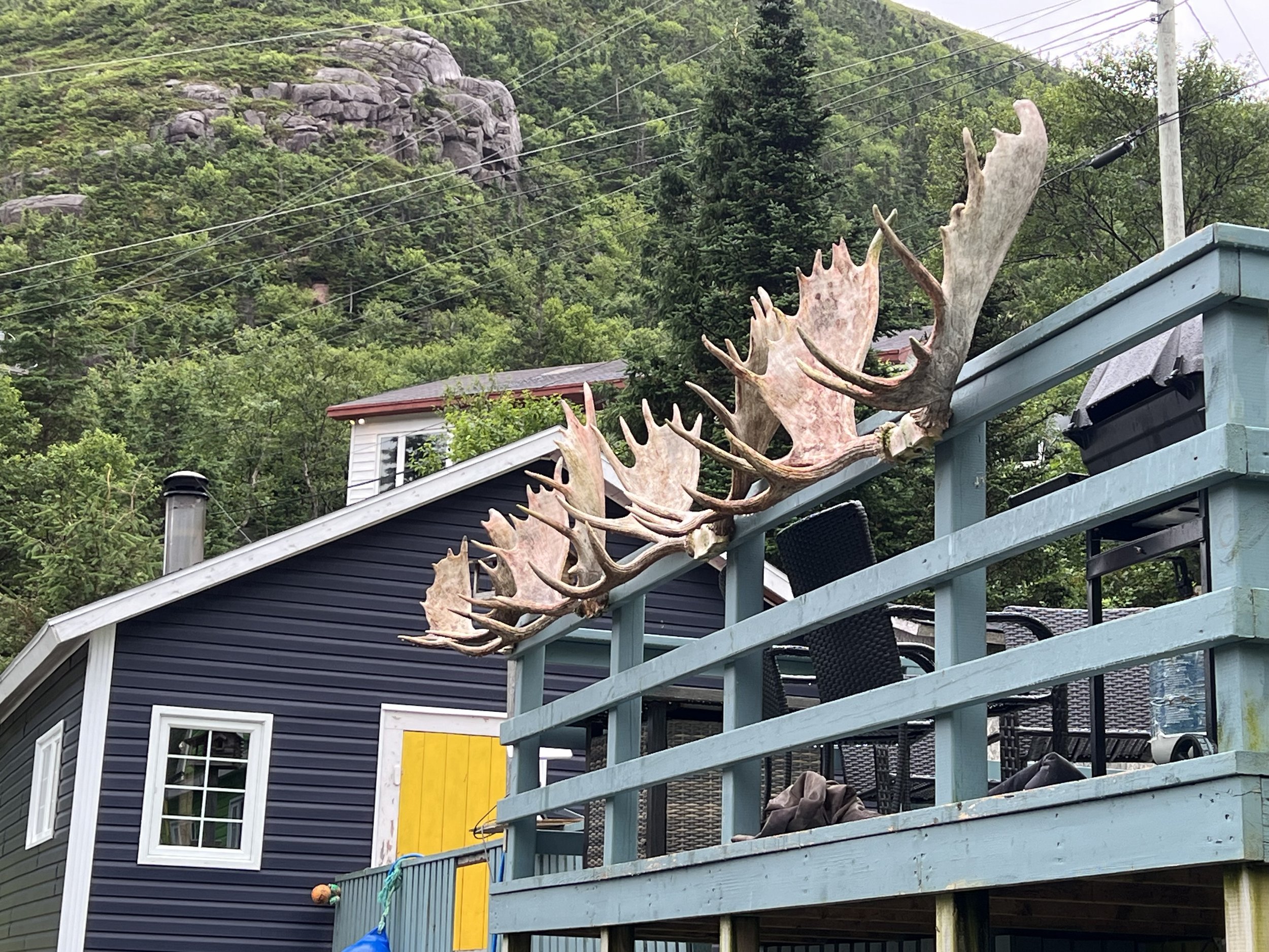
The fog lifted and as we walked back toward Rose Blanche, it looked quite different. We stopped to admire a set of moose horns displayed on a garage when the homeowner popped out and invited us to see the ones her husband had carved. Well who could resist? We got a tour of his workshop and saw the product of a winters work on display in his “shed”.
After a late lunch, we untied the lines and moved around to a nearby bay for the night. The waterfall at the head of the bay was most impressive.
A couple of days later found us in La Poile, our first outport. La Poile (pronounced La P-oil) has no road access, it is totally reliant on the daily ferry from Rose Blanche. The 60-70 permanent residents that live here get around on 4-wheelers along the concrete pathway that wends its way down the side of the bay. The stacks of firewood spoke to the main source of heating fuel and we watched as a very necessary appliance was delivered to the dock.
Helacious tied to the public wharf in La Poile.
An anxious resident waiting for the ferry to dock.
The next morning we as we prepared to leave we were pleasantly surprised to see the fog lifting. For a brief time we enjoyed seeing the landscape that surrounded us, and as we sailed along the coast we could see hints of the mountainous interior. The fog bank was never far away though.
Helacious in Culotte Cove.
An afternoon of clear skies allowed us to enjoy exploring the shoreline of Culotte Cove. We dug for clams and squelched through the bog looking at pitcher plants.
The following day it was back to fog as usual and we motorsailed on to Burgeo. Here we tied to the government dock just out of reach of the ferry and stayed for a couple of days as the rain passed through.
Walking around the town of Burgeo we found a prime example of efficiency, the hardware store and lumber company sharing space with the state liquor store. What could possibly go wrong? The views along the coastline from Sandbanks park were lovely. However we were not here in Newfoundland for hazy vistas, if the weather did not improve we would be heading south. We needed some sunshine. A constant refrain has been “ This is a most unusually foggy summer. It is not normally like this. Inland, just 5 miles, the weather is lovely”. We decided to find out if this was true.
Lake sailing
Helacious at anchor in Bras d’Or Lake (photo credit Jerry Callen)
A day sail northeast from Halifax brings you to the stretch of coastline commonly referred to as the Eastern Shore. It is a cruisers dream. Many uninhabited rocky islands, sandy beaches and sheltered coves. We spent a few days exploring as we worked our way up the coast. The navigation between rocky islands was fun and challenging, however with just a single headsail it was not too difficult.
Wolfes Island
The first stop, Wolfes Island had a beautiful sandy beach littered with empty crab shells and claws, evidence of good pickings for the seagulls. There was the biggest quartz rock I have ever seen, just jutting out of the sand.
The second anchorage was Shelter Bay, again, the bay was deserted but for us and apparently a bear. The area was breathtakingly beautiful. Brian broke out the fishing pole and caught us some very small mackerel which we enjoyed for breakfast the following day.
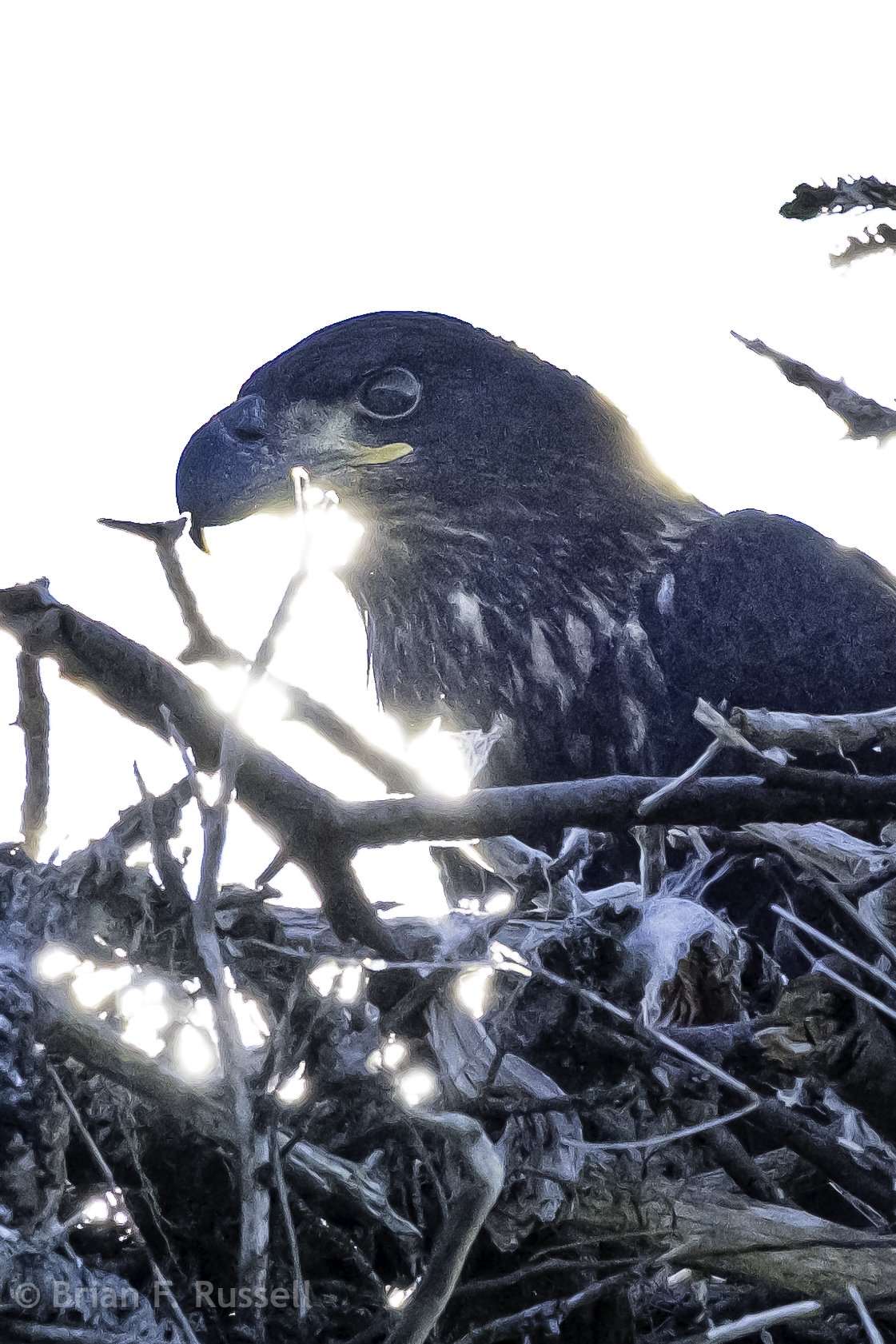
Our final stop along this section of coastline was in the shelter of Pyches Island. Here we sat on the beach and watched a North American mink bring its fish dinner in from the ocean. We also spotted a Bald Eagle nest with a juvenile resolutely sitting in the tree and an adult trying to draw us away. They were not happy we were so close.
Anchorage Pyches island
Tropical storm Cindy was heading our way from the Caribbean via Bermuda. The forecast was still uncertain, would it intensify, or would it fizzle away. We did not want to be caught out on an exposed southern shore, so we got up early and set off, heading for Bras d’Or Lake where we would be able to find shelter if needed. It was a couple of days sail. We stopped overnight in Spanish Ship Bay, arriving in glorious sunshine. Soon after dropping anchor a local fishing boat swung by to have a chat. The fisherman lived on the bay and offered us the use of his truck, even though he was going to be away for the next couple of days, he would just leave the keys in the truck for us! Where else does this happen? It turned out we opted to move on early the next morning, unable to take this kind gentleman up on his offer. It was a long 14 hour day, sailing in thick fog until the very end as we came inland approaching the lock entrance to Bras d’Or at St Peters.
A foggy sunset in Spanish Ship Bay.
The fog clears approaching Bras d’Or Lake
We tied up to the walls of the lock overnight and the next morning were locked in to Bras d’Or Lake. We spent one night on the pontoon at St Peters marina and stocked up on some groceries before heading off to explore the lakes.
Bras d’Or Lake is a large brackish water inland lake in Cape Breton at the north eastern end of Nova Scotia. It is connected to the ocean via a long tidal inlet to the north and accessible from the south via a small canal and lock. The lake is approximately 45 miles long by 10 miles at the widest point. It was settled by Scottish immigrants from the mid 1700’s, many names were of Scottish origin and there is a strong Gaelic tradition in the music. In addition to the Scottish influence the indigenous Mi’kmaq peoples are also well established here with a number of communities around the lake. Unfortunately as we explored the many anchorages the persistent fog barely lifted, and we were denied a true glimpse of the majesty of this area. Maybe another time.
Bras d’Or Lake
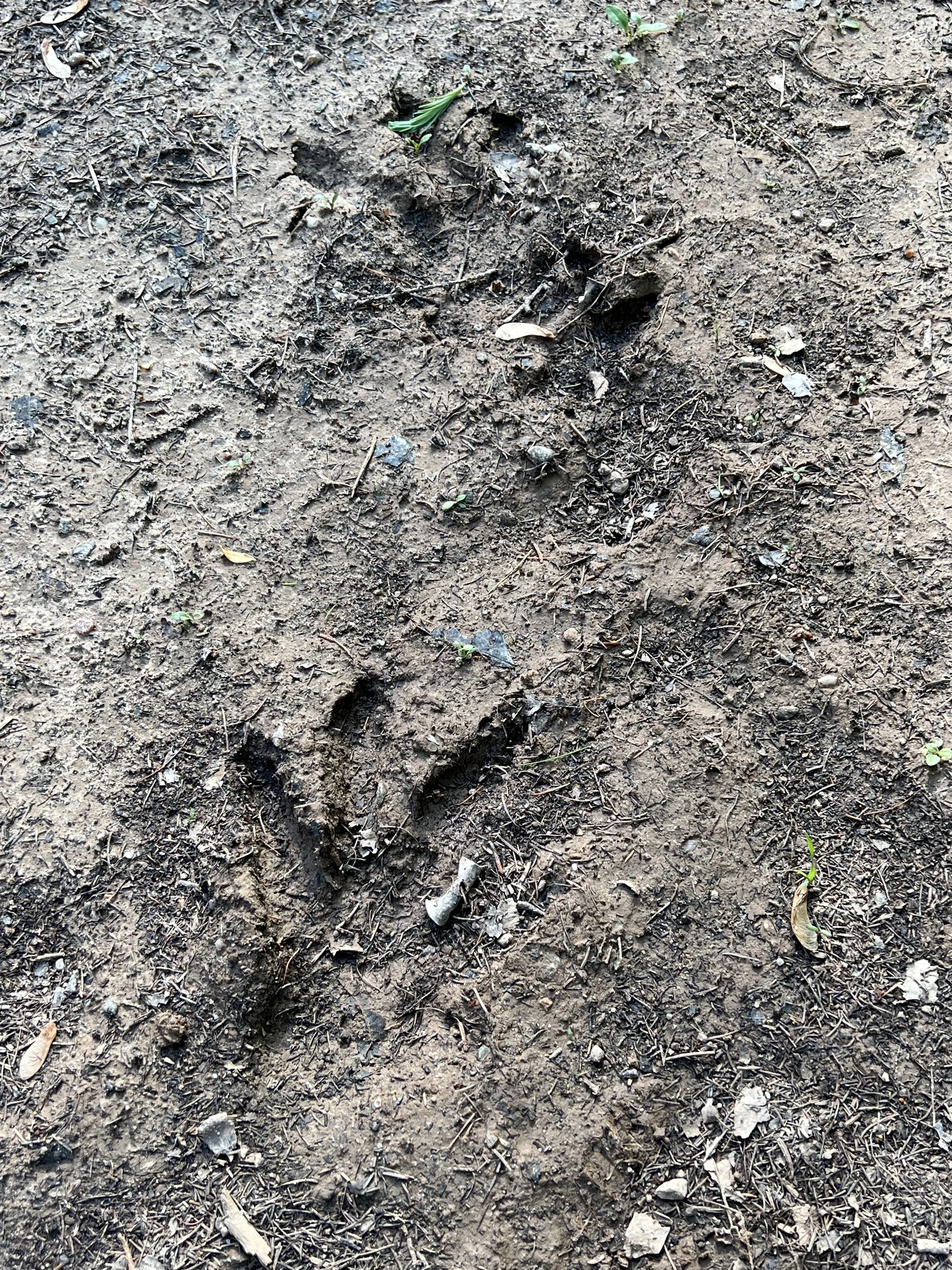
The one afternoon of sunshine we had we took a hike to explore some Gypsum cliffs. The trail was through lovely mossy pine forest with spring flowers and colorful frogs. We found a beaver dam and some impressive footprints, moose?
Moving on we transited the narrows at Barra Straight, calling the bridge to request an opening.
We spent a few lovely days in Baddeck, the main town center of the whole lake system. It was Canada day and we enjoyed the Craft fair/farmers market, a parade, local music and fireworks. Unfortunately it was so soggy and foggy I took no photos at all. The Alexander Graham Bell museum was very interesting. Who knew he had a lifetime interest in helping the deaf communicate, Helen Keller being one of those assisted. In addition to his interest in speech and sound, his later inventions involved aeronautics and hydrofoils, a very creative mind. We made new friends, visiting each others boats is a great way to spend an afternoon, looking for ideas to incorporate into your own floating home. Thanks SV Idril for the great photos and SV Chelsea for the delicious scones.
It was now the second week in July and time to move on. We were up predawn to catch the tide heading north out of Bras d’Or Lake. There were a couple of quite narrow sections where we were very pleased we had timed our passage perfectly, not a current I would want to be fighting.
Seal Island Bridge
The north eastern most part of Nova Scotia is called Cape Breton. Much of it is a National Park and has a the dramatic scenery I somehow expected for all of Nova Scotia. It did indeed resemble its namesake, Scotland. We tucked into a bay at Ingonish, protected from the ocean by a long rocky bar with a very narrow entrance. The buoys marking the entrance were off position and the many lobster pots with very long floating lines made navigating into the bay a hair-raising experience.
Looking out across the bar protecting Ingonish Bay.
Freshwater Lake, Ingonish.
The sun came out and immediately the temperature rose. We hiked out on Middlehead trail to the tip, not quite the easternmost point in Nova Scotia., but close. It was a lovely hike and the dip in the water when we returned home was refreshing.
The view from Helacious, what a difference a day makes!
We left Nova Scotia the following day, fog swirled around us as we threaded our way back out of the inlet between lobster pots. Newfoundland bound.
Nova Scotia
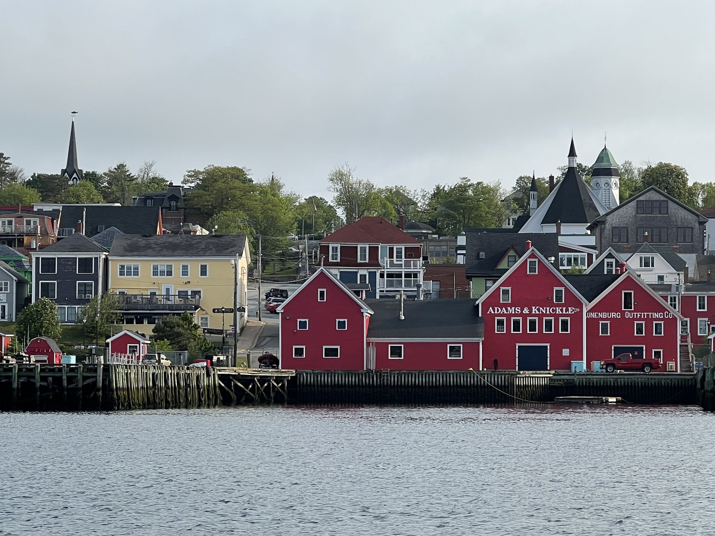
Lunenburg, NS
Our crossing from Bermuda took 6 days. There was more motoring than we would have liked (a cruisers dirty little secret), but the long term forecast would have had us trapped in Bermuda for another two weeks. We crossed the gulf stream in flat water, which was just fine for us, then a sporty sail in the last 24 hours, trying to reach safe harbor ahead of a gale. We were intending to make landfall in Halifax, the capital. The winds associated with the developing gale forced us to turn west instead and make for Shelburne, the next official port of entry. About 2 days out we were informed that Nova Scotia’s largest ever wildfire was currently raging just west of Shelburne. The fire fighting planes were using the bay to scoop up water to fight the fire. We had seen some evidence of the smoke filled skies in the hazy sunrise as we approached land. The bay was closed to marine traffic so as not to impede the firefighting efforts. Then we found out Shelburne itself was evacuated; we were not going to be able to arrive there for customs clearance. Unable to head to Halifax, and unwilling to travel even further west to Yarmouth, the next port of entry, we tucked into Lockeport, a fishing village just east of Shelburne, south of Liverpool, and phoned the Canadian customs. It took 10 minutes and we were cleared in, totally reasonable and understanding of our plight. What a relief.
Lockeport was a fishing village, the public wharf was full of lobster boats that were evacuated from Shelburne. We rafted up to one in the pouring rain, hoping our new neighbor was okay with that. In the afternoon we met Eddie and arranged to help him pump his bilges in the evening, saving him from having to drive out to the boat from his home. The gale arrived and for two days we were trapped on Helacious, literally. When we tried to disembark between rain showers, we found the boats were blown off the dock in the wind and we could not jump the gap, nor pull the boats in toward the dock.
We were not bored, there was a flock of Eider ducks in the harbor. The females were caring for a large number of brand new ducklings. We watched in dismay over the next few days as a number of ducklings were picked off by the seagulls, 24 to 18 to 14….. nature can be very cruel.
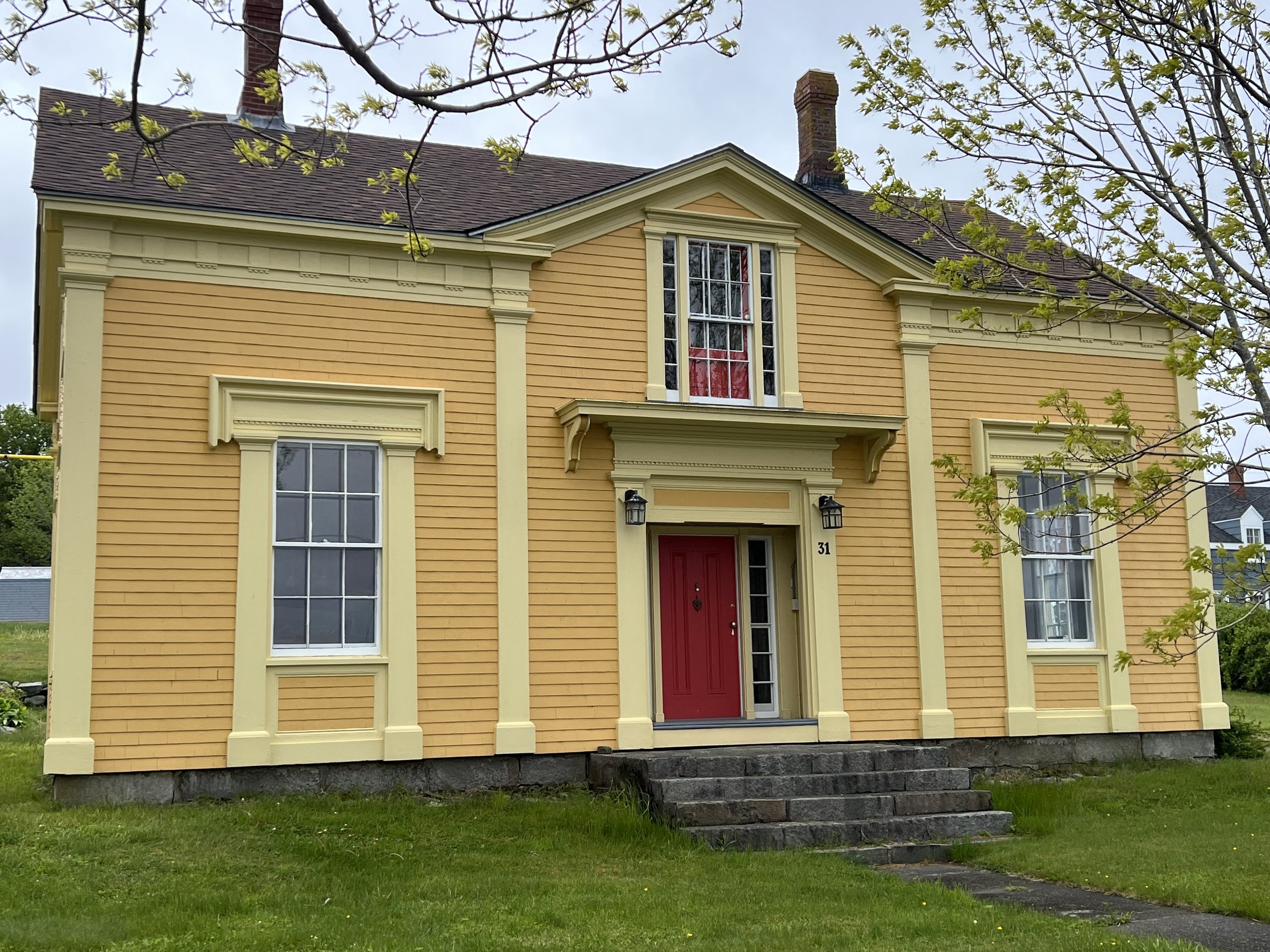
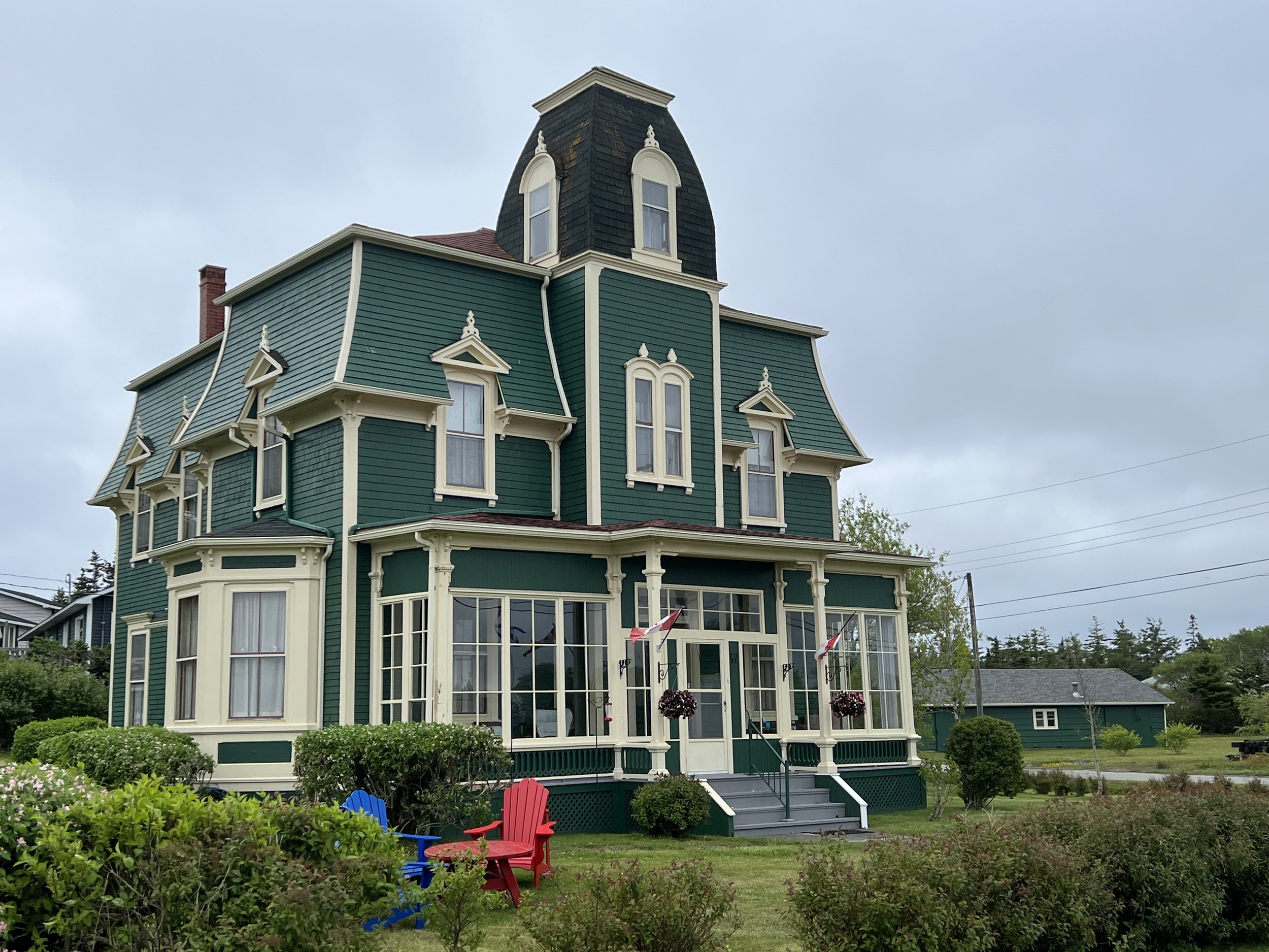
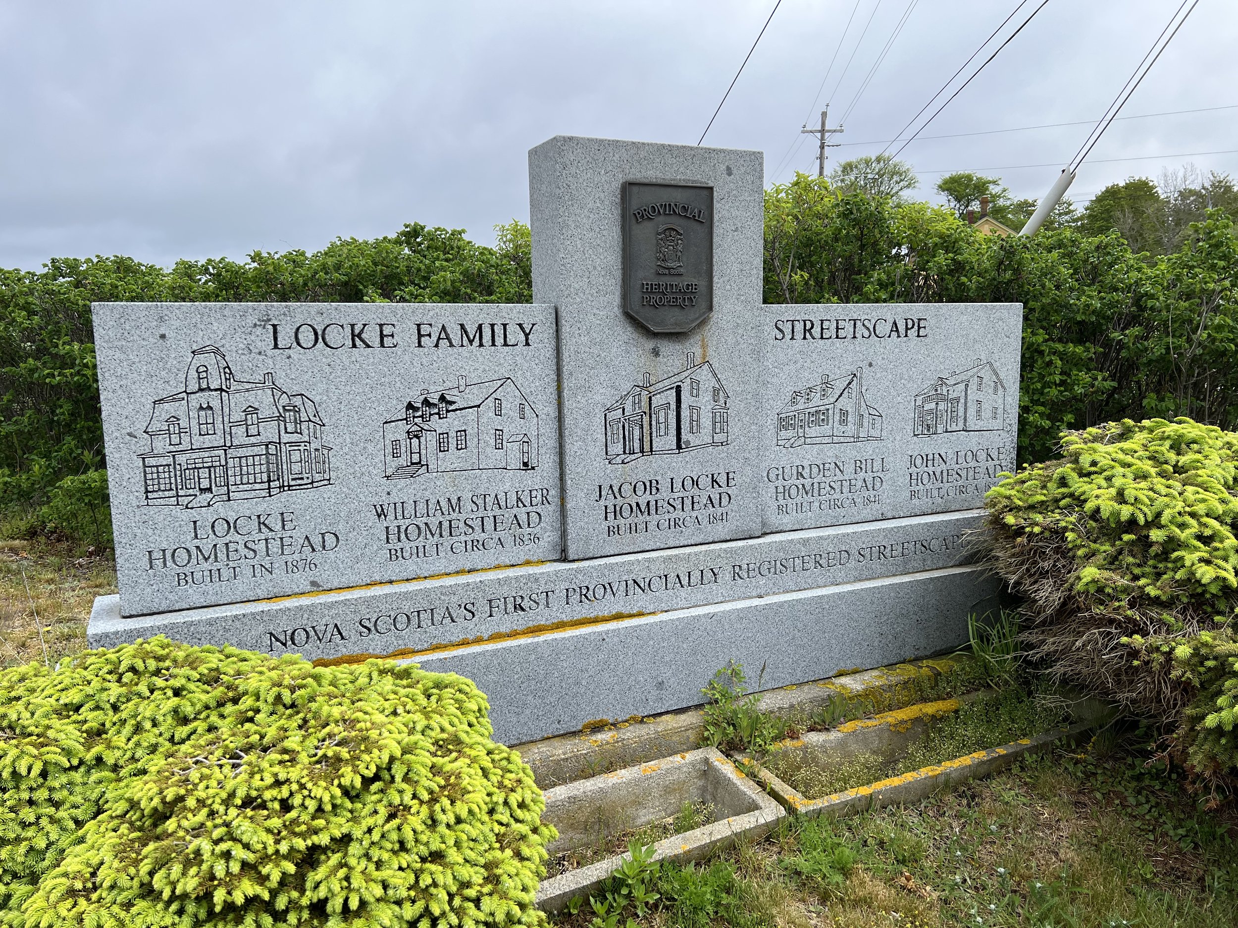
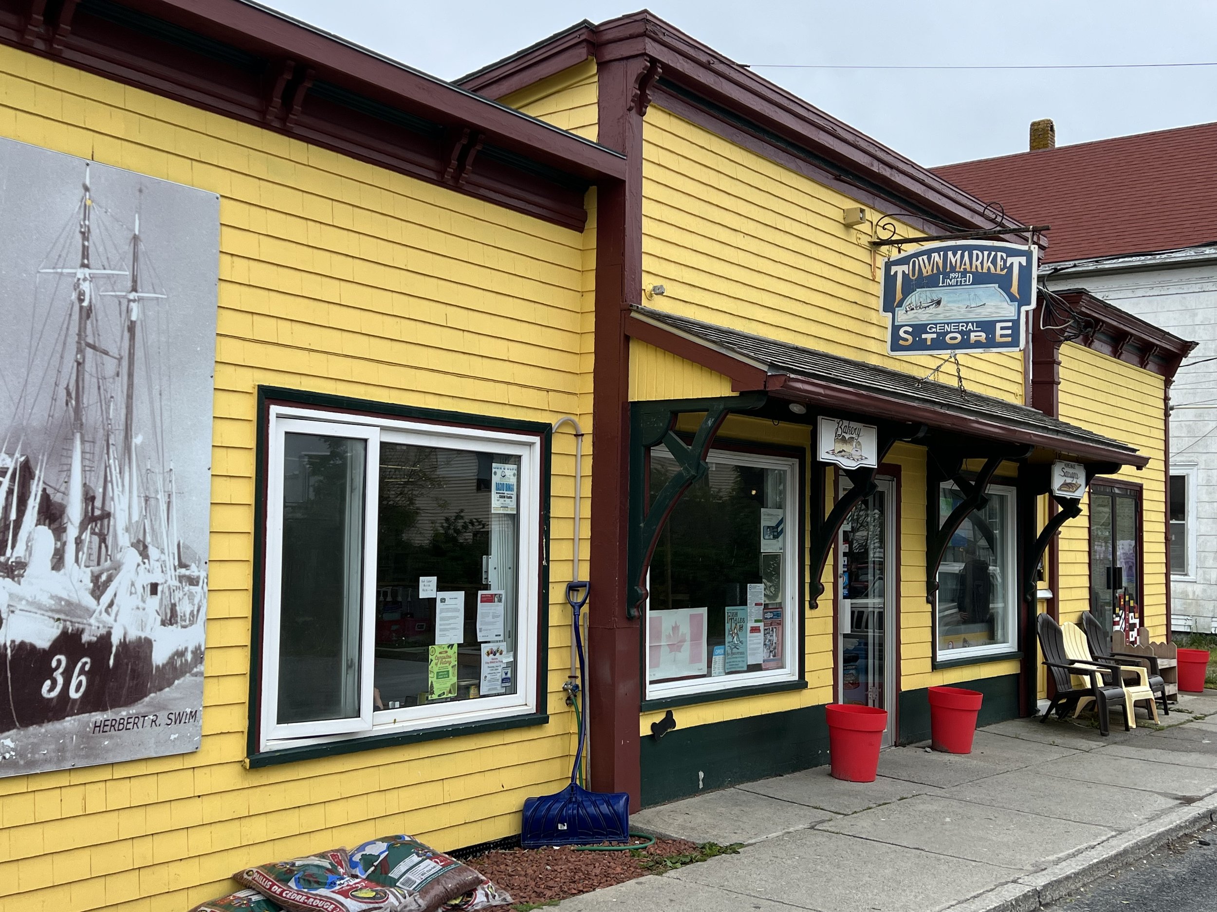
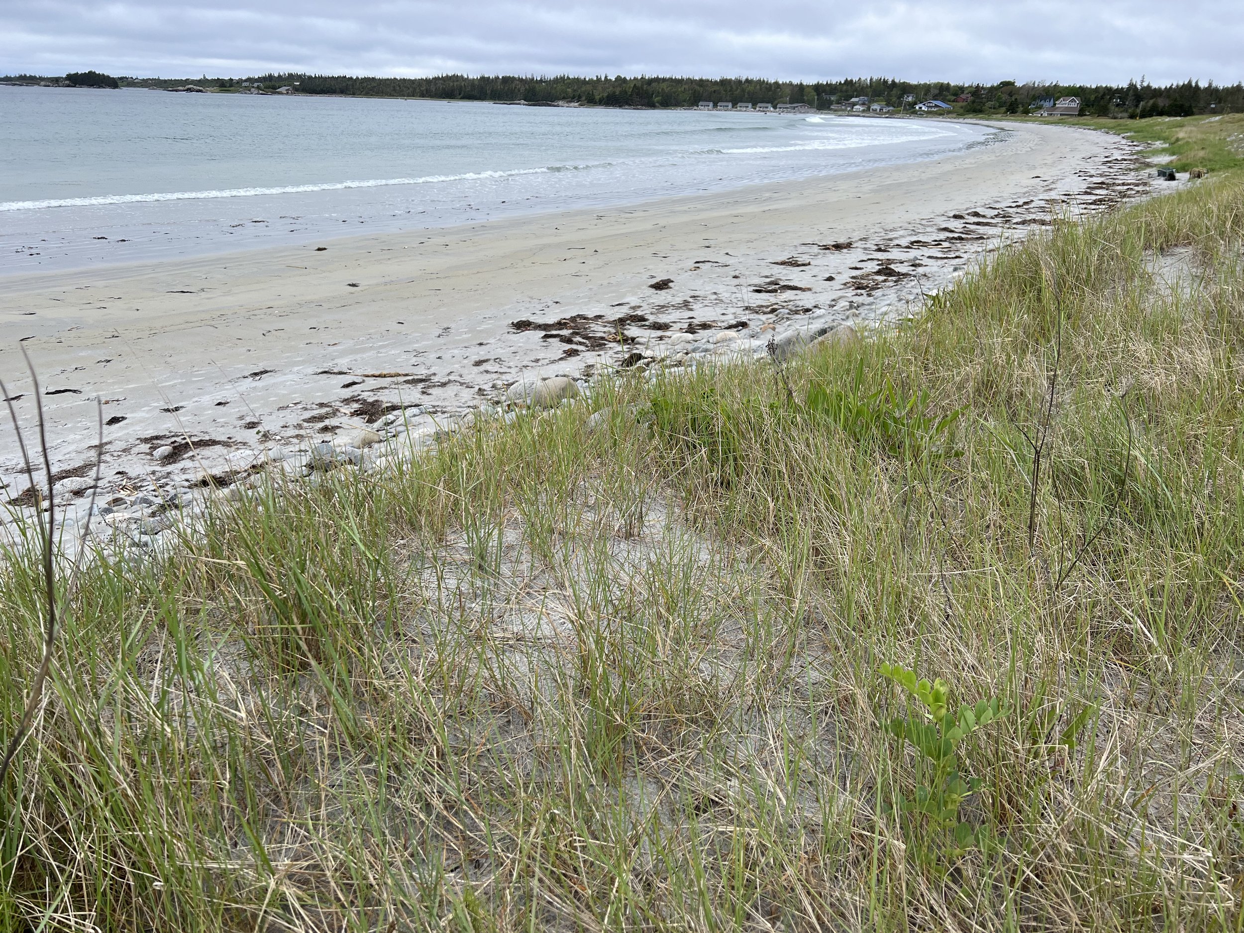
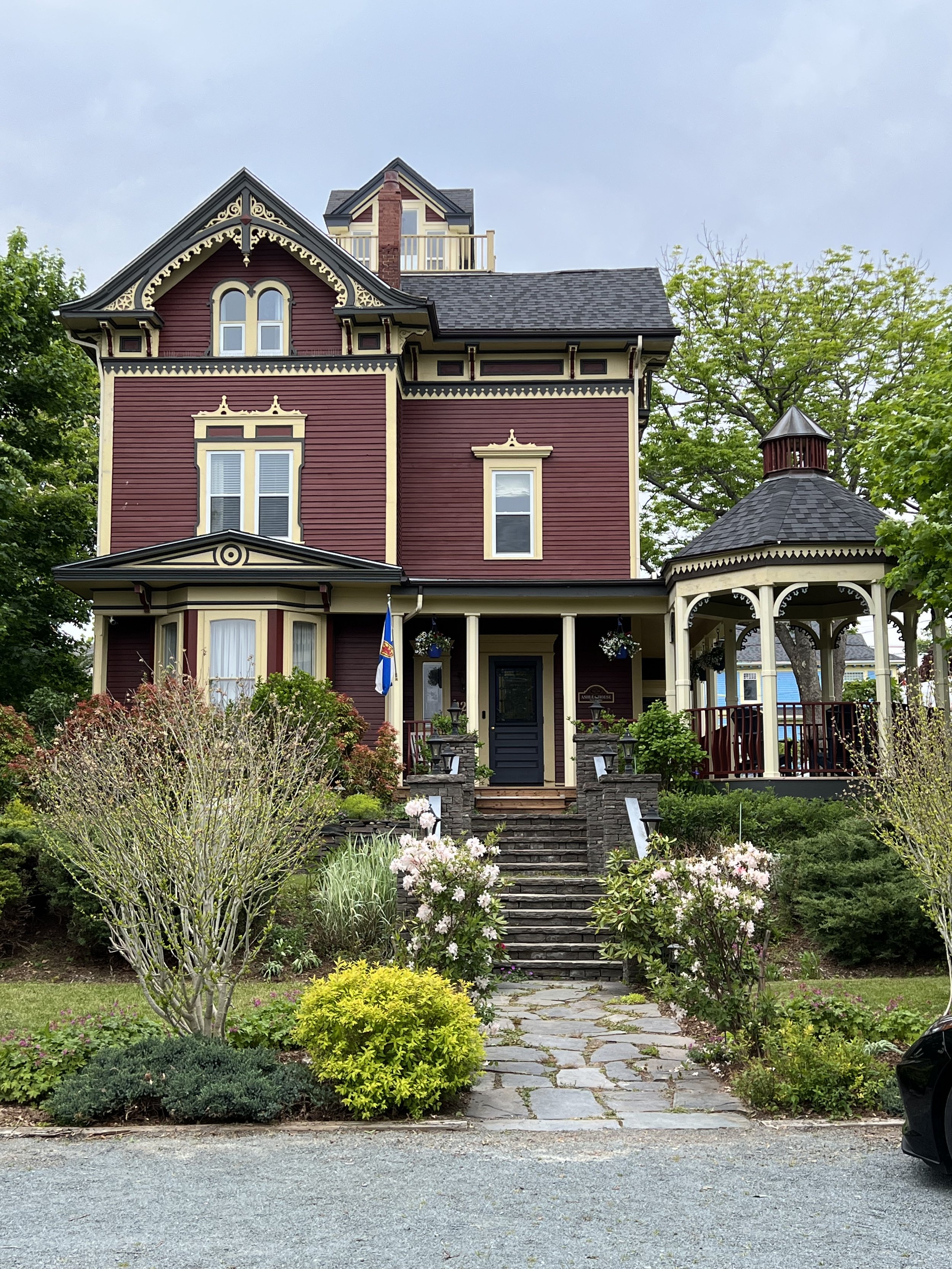
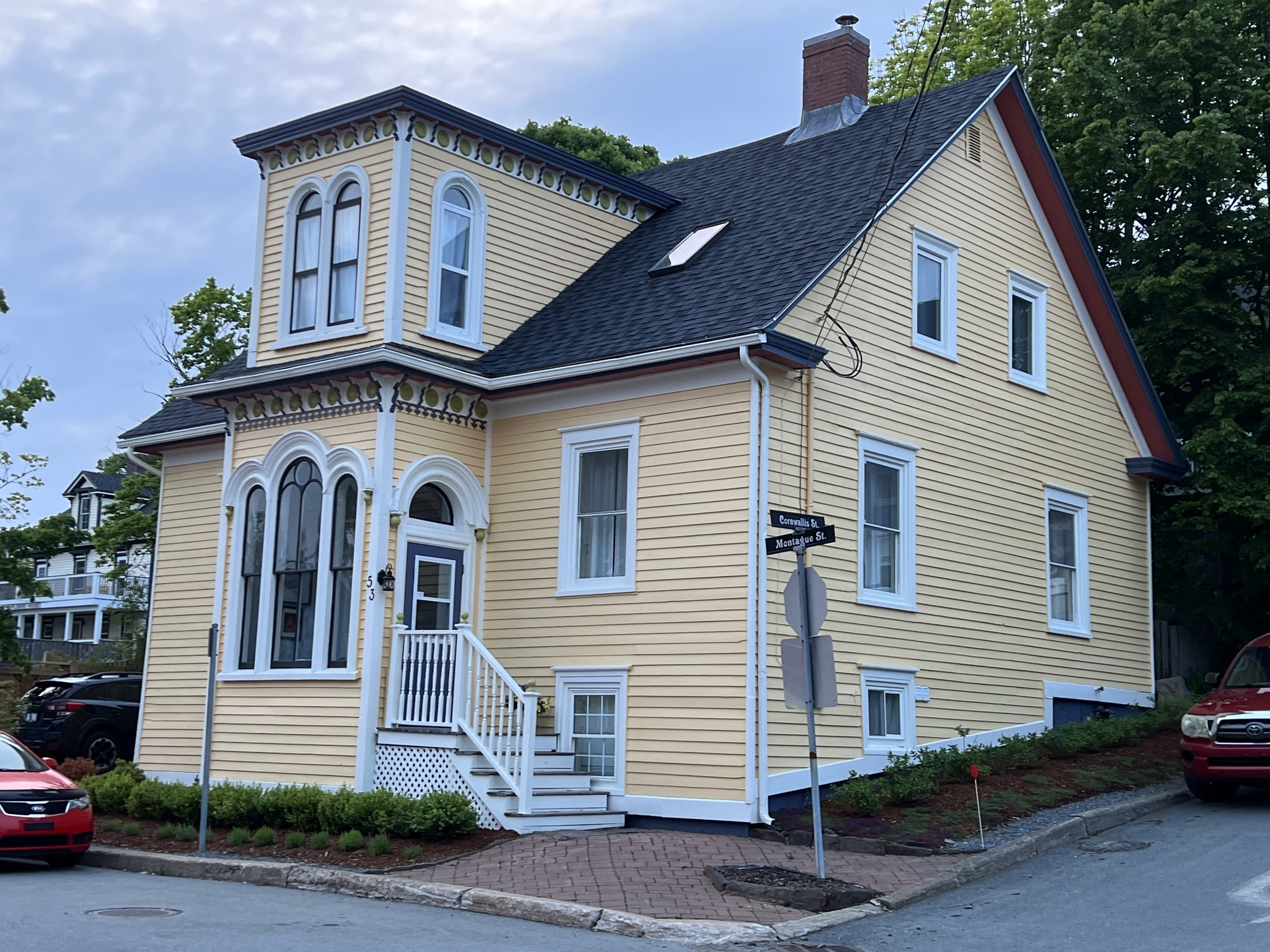
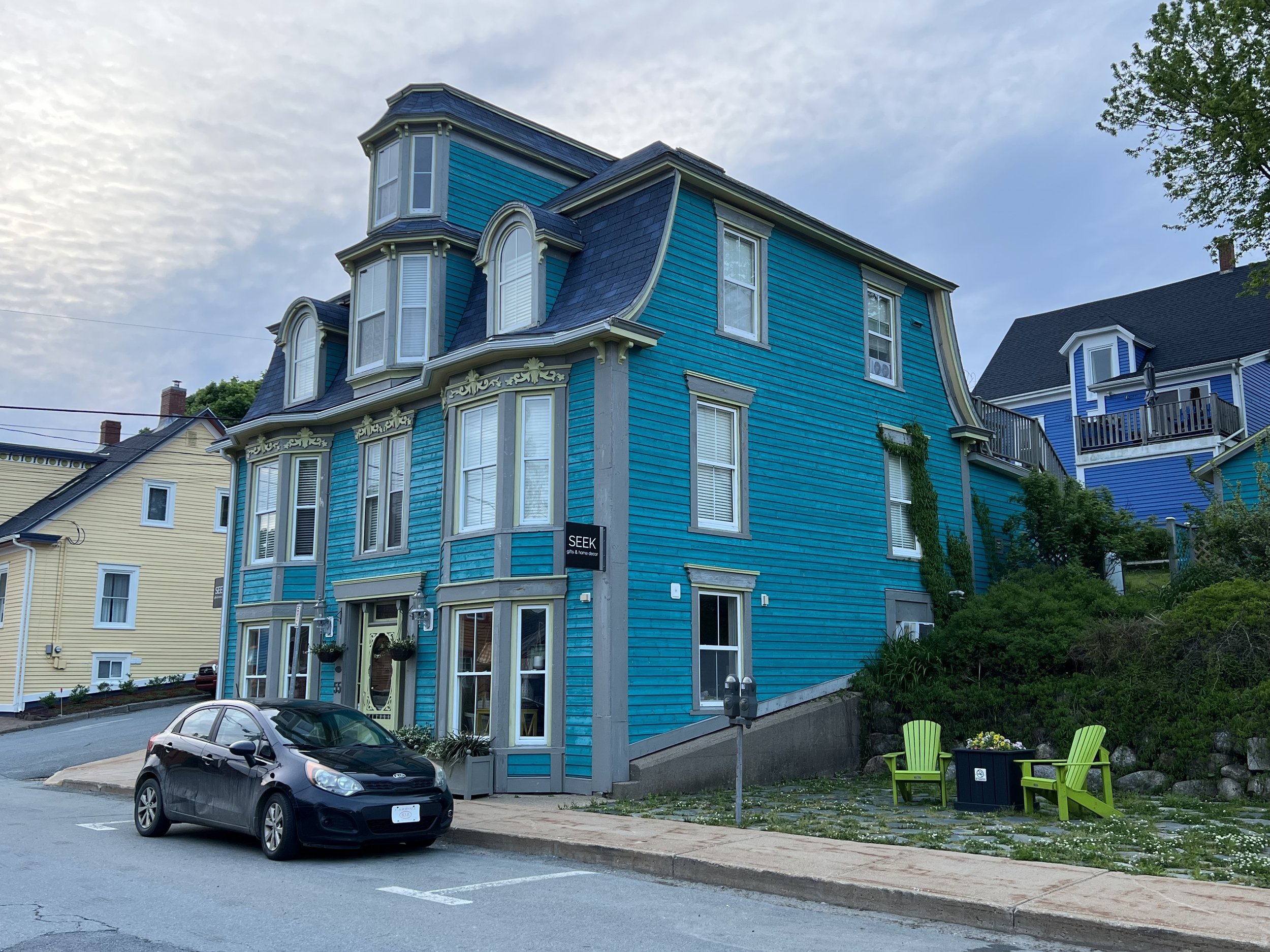
Lockeport is not large. Despite that it had a historic district with Victorian houses, well maintained and colorfully painted. The General Store was stocked with bare essentials, and the beach was clean and ready for the summer crowds, if only the sun would come out.
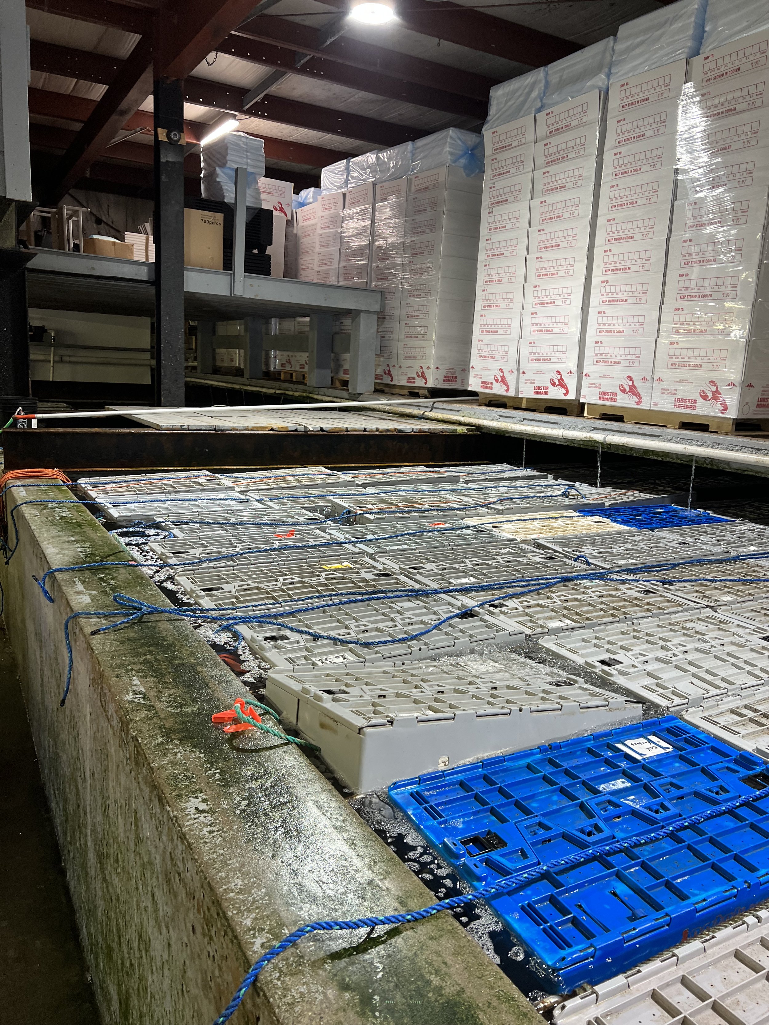
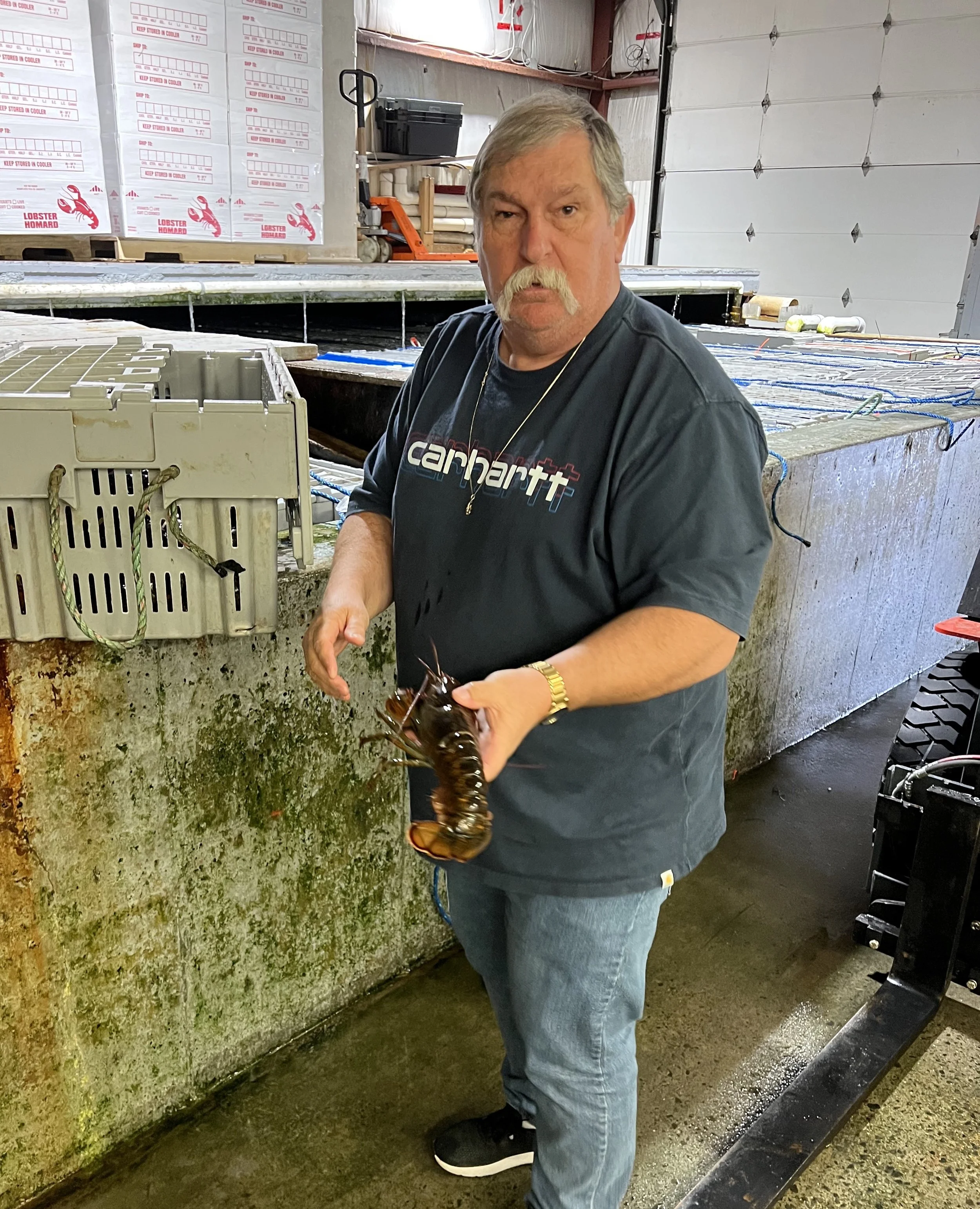
We were looking for lobster and were directed to the warehouses of Cotters distribution. The proprietor, Michael Cotter, was a friendly fellow who gave us a guided tour of his business. The many tanks of bubbling sea water were each packed with crates of live lobster. Over 200,000lb of live lobster were in this single warehouse. The plastic bins contained lobster that had been graded, weighed and deemed suitable for top dollar sale (2 claws present). They were kept in the bins in refrigerated sea water, in stasis so to speak, dormant and ready for shipping all over the world. These days, he told us, the main customer was China, they pay well and promptly. There was another tank with the less than perfect lobster, their destination was the processing plant. We were surprised and very grateful when he loaded a bag with 4 lobster, gave us instructions on their cooking and refused payment.
Carter Beach, an anchorage on the way to Lunenburg.
We left Lockeport and made our way up the coast toward Lunenburg, a UNESCO World Heritage Site. It is famous for its architecture, much of the downtown has the original 18th and 19th century buildings making the waterfront quite colorful. We enjoyed wandering around the town and the museum. Celebrated an anniversary at a seafood restaurant and met a number of OCC members, discovering the benefit of membership with the loan of a mooring for the night and making new friends.
Helacious in Lunenburg
After a couple of days we moved on up to Halifax. Once again we used our OCC membership contacts and were very grateful when the Halifax port officer offered to take us on a provisioning run to Costco, a state run liquor store and to get some oil. We filled Johns car to the brim. Thank you.
Jake was visiting at the same time for a meeting and we enjoyed having him and some friends onboard to visit. After his meeting was finished we went for a sail, swinging along the waterfront of downtown Halifax before heading to a cove on McNabs island in the inlet to Halifax. There was a great hike from the anchorage, down the spine of the island in a deeply mossy pine forest.
The subject of the last photo.
We spent a day in Halifax, enjoying the art gallery and maritime museum. On the final day of Jakes visit, it was gloomy and grey, threatening to rain. We were rescued by Eric, from the Armdale Yacht club, who invited us to join him on a couple of the Blue Nose dinghies in the club regatta. It was such fun.
Armdale Yacht club, very active and a great stop.
Jake left and we finished up some boat projects. The inverter, a very expensive box of electronics that we use to convert battery DC power to appliance friendly AC power decided to quit. It could not have happened at a more fortuitous place. The well stocked and unbeatable prices of The Binnacle yacht chandlery was just a 10 minute walk from the yacht club. We bought and installed a replacement. We also put in an order for new batteries which we will pick up and instal on our return journey south. Before we could spend any more money we pulled up the anchor and set sail.
Bermuda blues
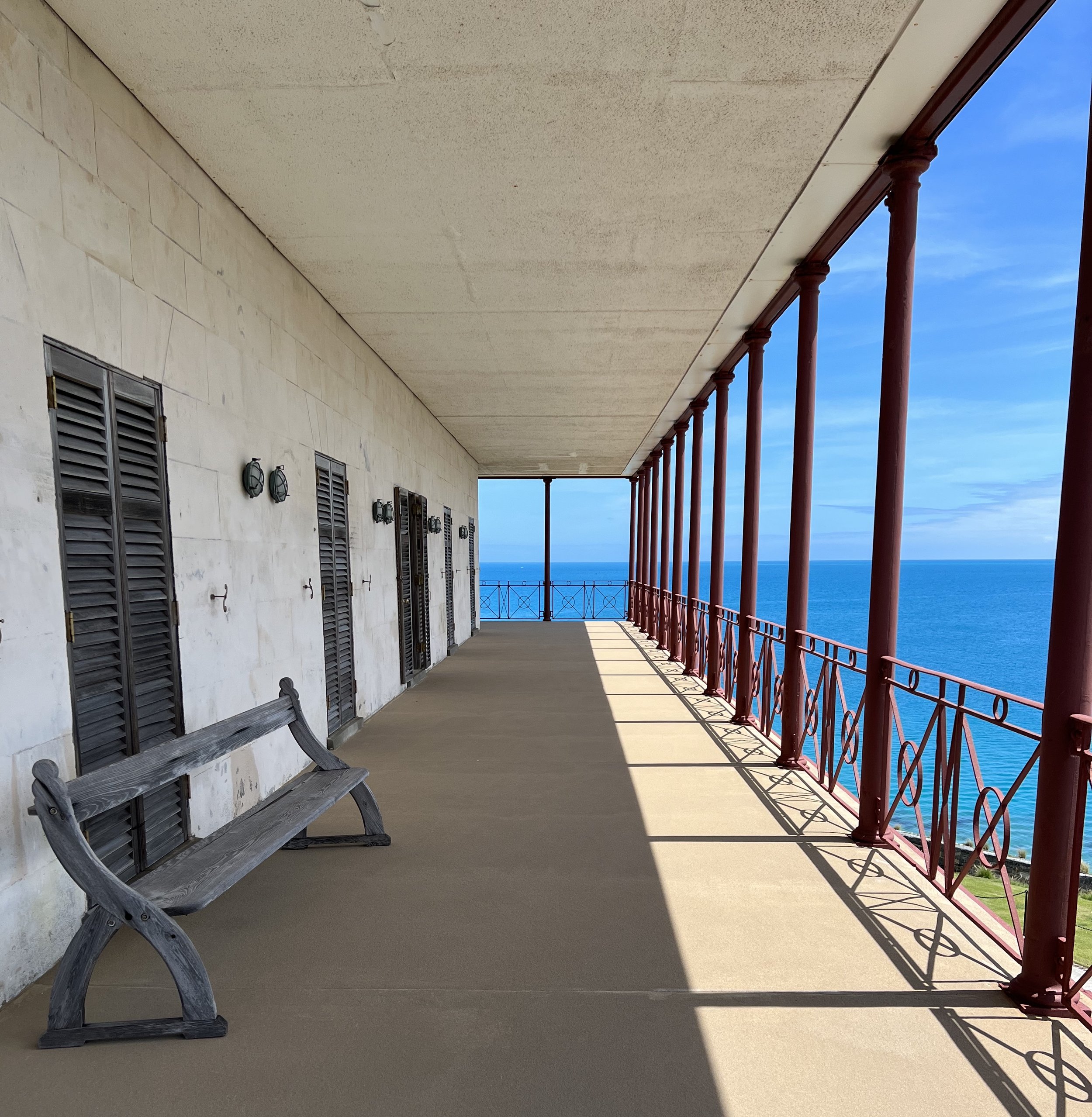
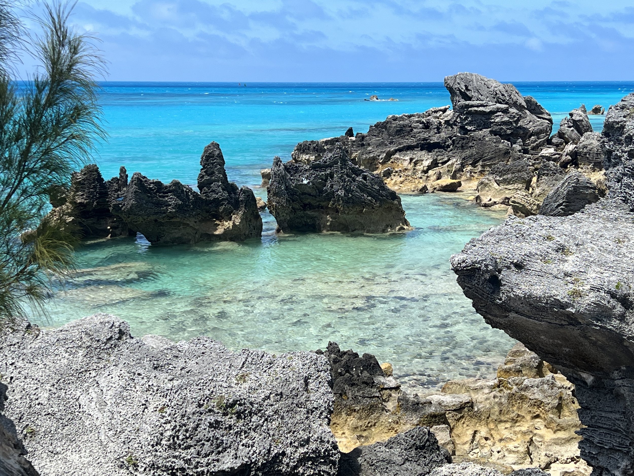
The blue waters of Bermuda.
We arrived in Bermuda in the morning after a 6 day passage from the Caribbean. It was a good passage, a little motoring but mostly beam reach sailing. Our anchor dram and passage celebratory drink was none other than the traditional Bermudan cocktail, a Dark and Stormy. We even found the correct ginger beer in the ships stores to make it. After a well deserved nap we cleaned up the boat a little and finally found the source of that odd smell Helen had been complaining about: a flying fish had entered through the salon hatch and expired in the back of the bookcase, hidden for the duration of the passage. Incredible.
The next day was bright and sunny so we took the dinghy in to explore. Bermuda was settled in the early 17th century following the shipwreck of the Sea Venture, a boat heading for the colonies in Jamestown. The stranded crew fashioned two new boats, the Deliverance and Patience from what they could salvage from the shipwreck and using local timber. After 9 months enjoying the plentiful supplies in Bermuda many of the stranded crew were not thrilled to continue on to the failing colony of Jamestown. This shipwreck story is said to have inspired William Shakespeare’s The Tempest.
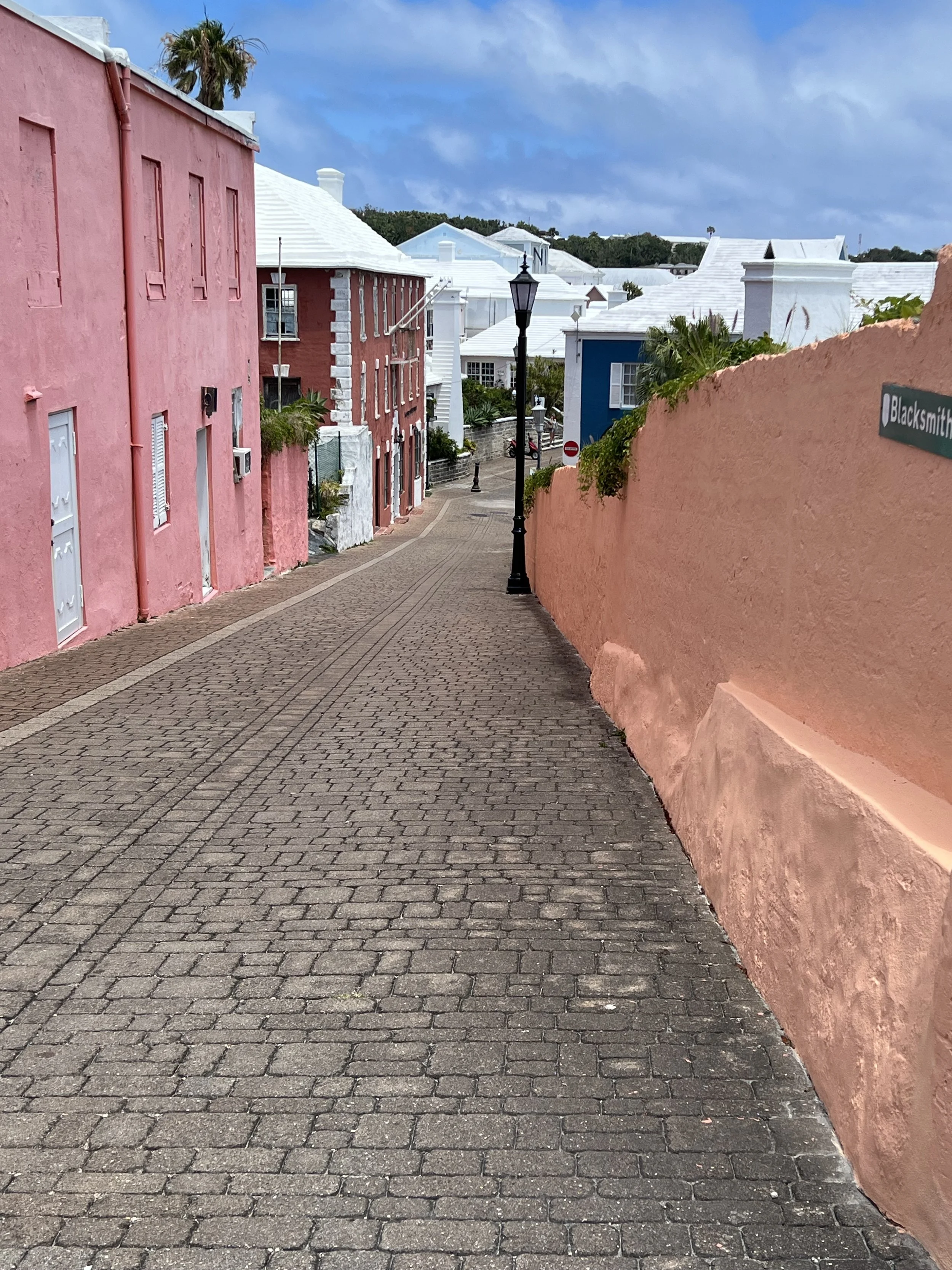
St Georges is the site of the original settlement on one of the six main islands that make up Bermuda. It is not a large town, wrapping around the harbor, its candy colored houses and white roofs are very pretty. The buildings are all solidly built, able to stand up to hurricane force winds. The unique clinker-style roofs are designed to capture valuable water, directing it into cisterns.
There are signs of the historical and British influence all over, not least the road names.
And store names.
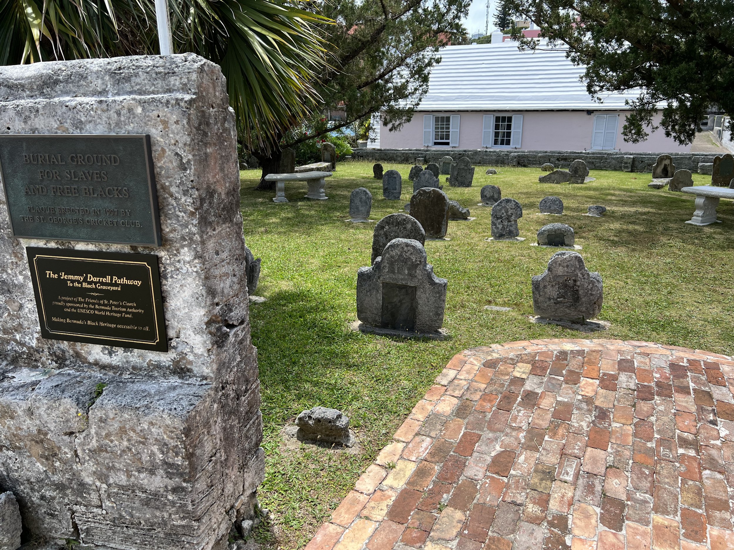
We walk up to St Peters, the largest of the many churches, and enjoy looking around the graveyard. Such poignant stories can be discovered. The slave graveyard toward the back was unusual for the time I am sure, noticeably smaller markers, but at least there was a final resting place.
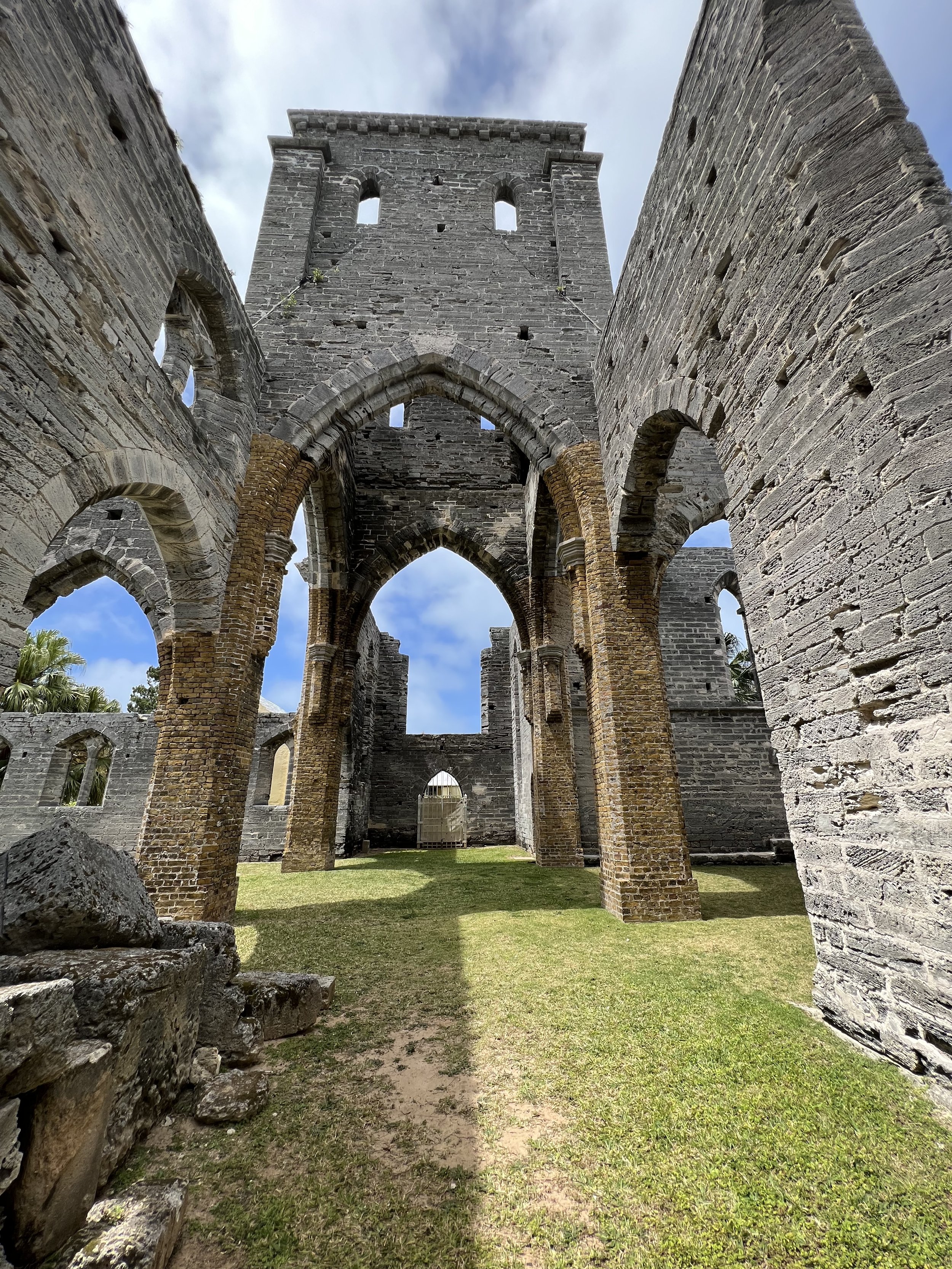
There was even one church that was started, but never finished. Politics got in the way. It was interesting, usually roofless buildings are in the process of falling down, but in this case the walls were still quite sturdy and intact. Beautiful in a strange way.
The unfinished church.
Walking across the island we get to the north shore and finally get an idea about why the coastline around Bermuda is so dangerous for sailors. The reefs are wicked and protect the north and western shores for 10 miles out.
Bermuda is chock a block with forts. Its pivotal role as a maritime station for fleets from both sides of the Atlantic, during colonial wars through to the world wars of the last century have left their mark. We visited Fort Catherine, built to defend the north eastern tip of the island just as they were closing. We were invited up to help lower the flag from the tower rooftop. I somehow expected a little reverence for the flag, too many years in flag respecting USA I guess, but to see it stuffed unceremoniously over a staircase railing for the night struck me as not quite right.
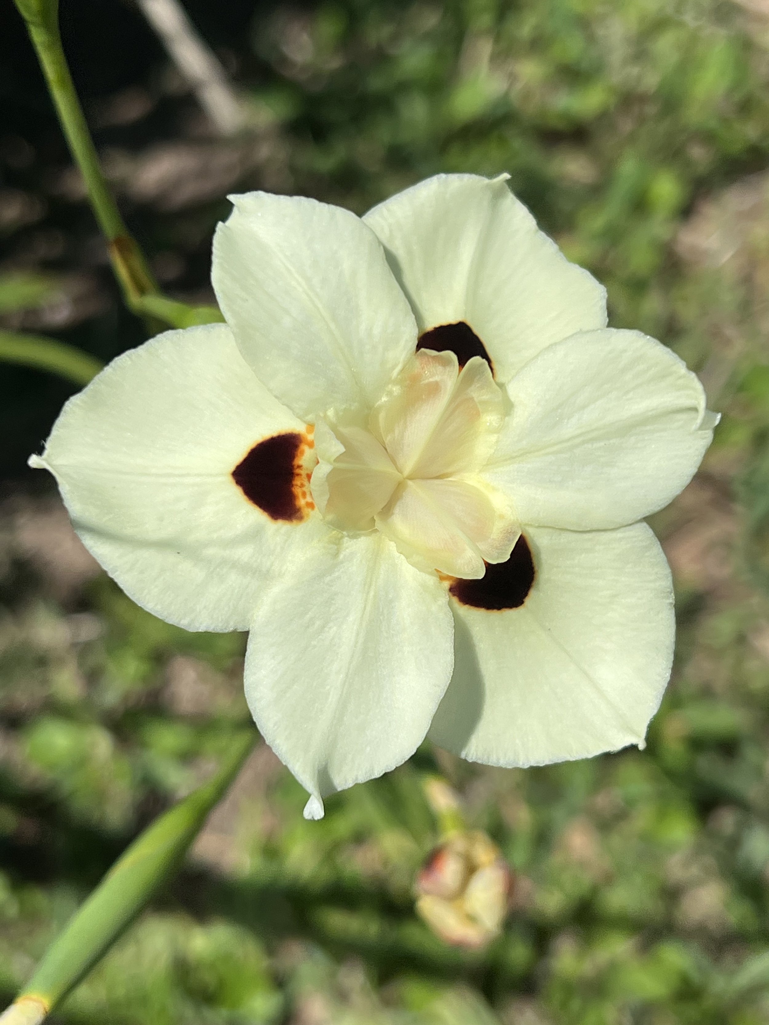
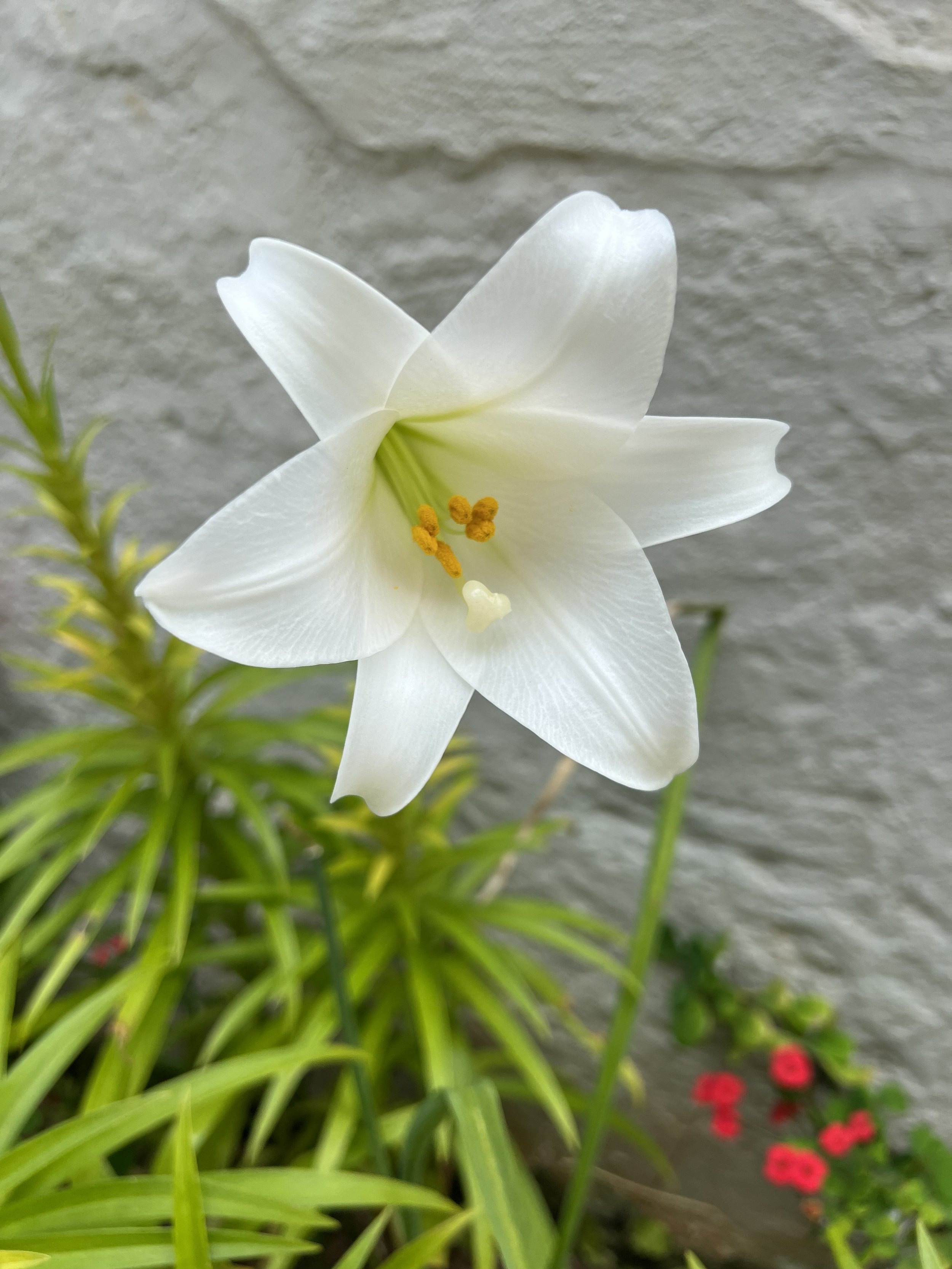
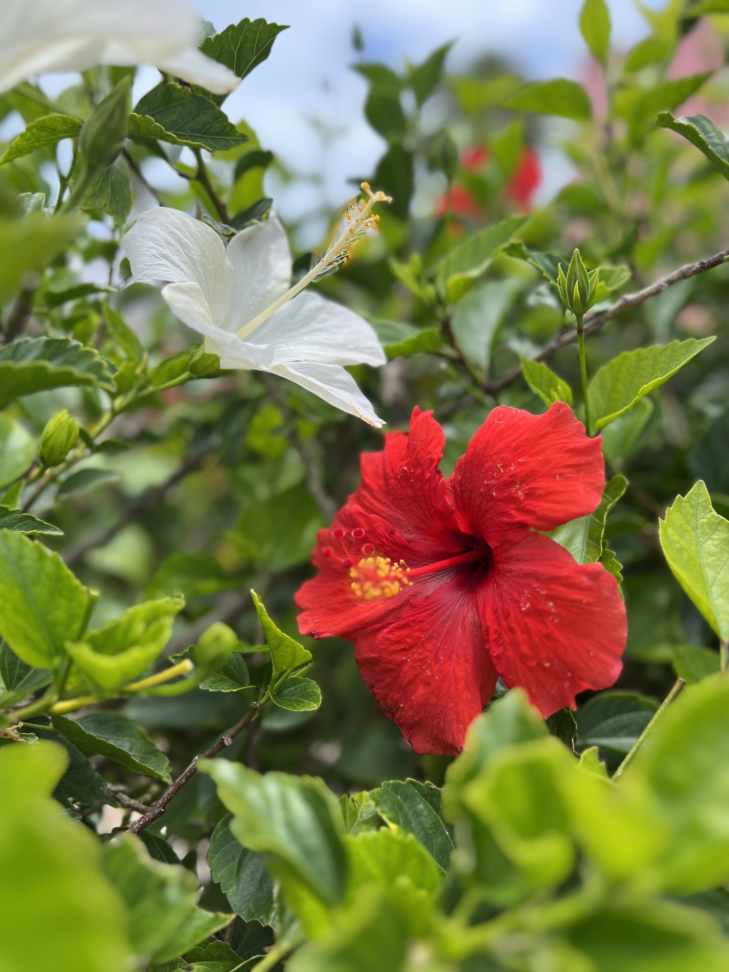
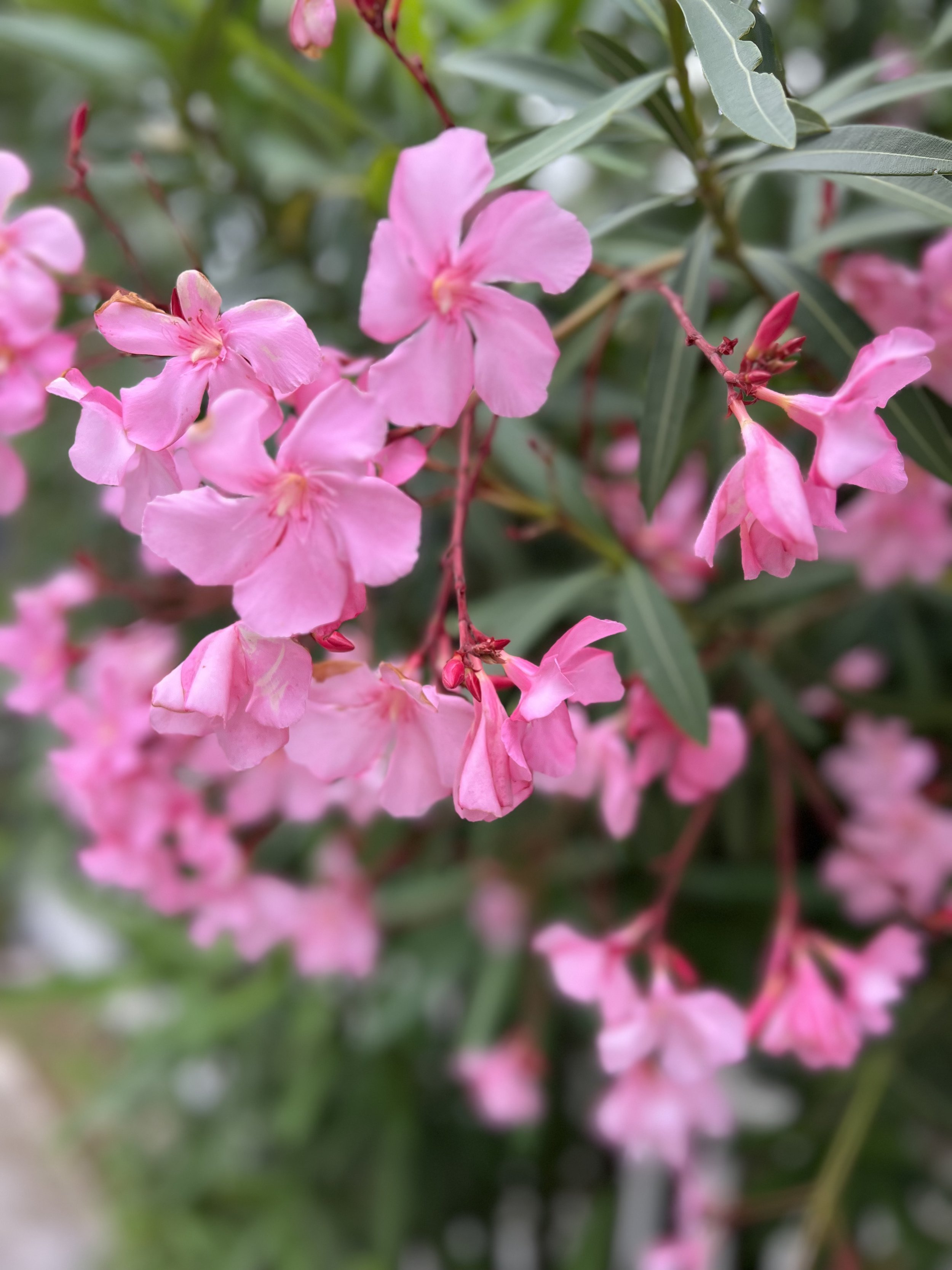
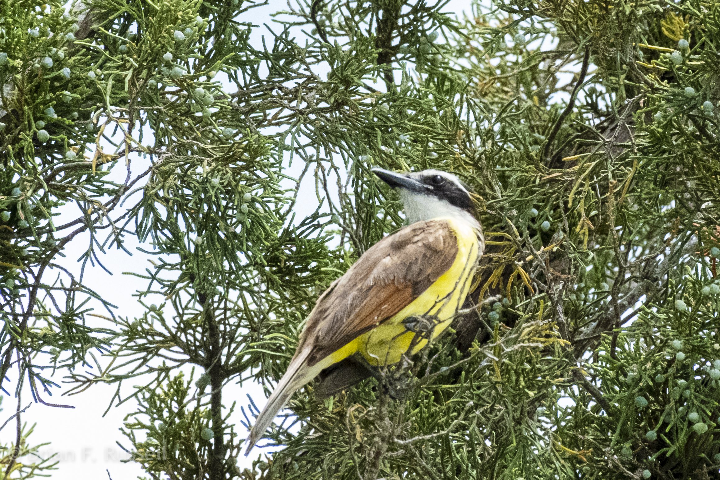
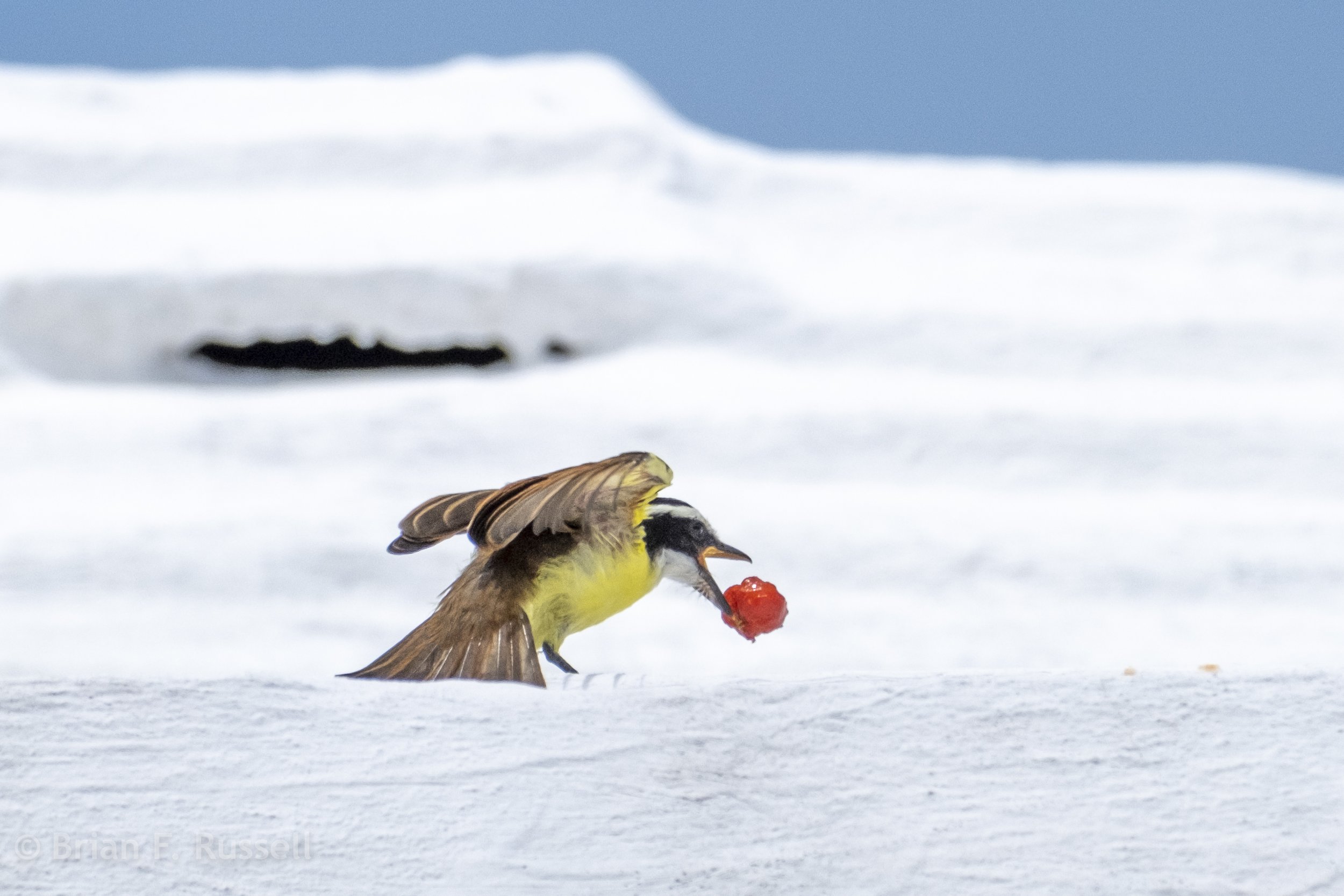
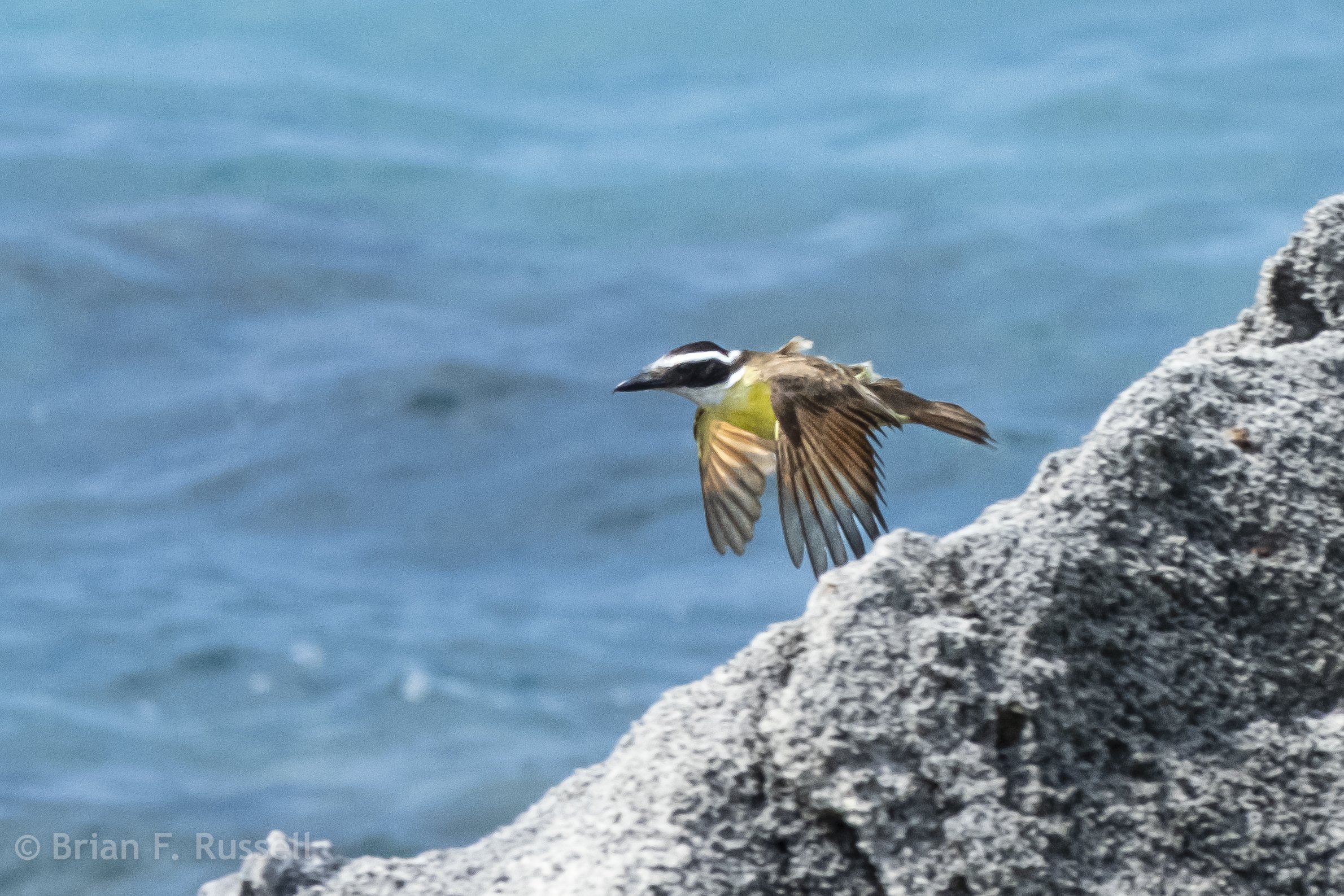
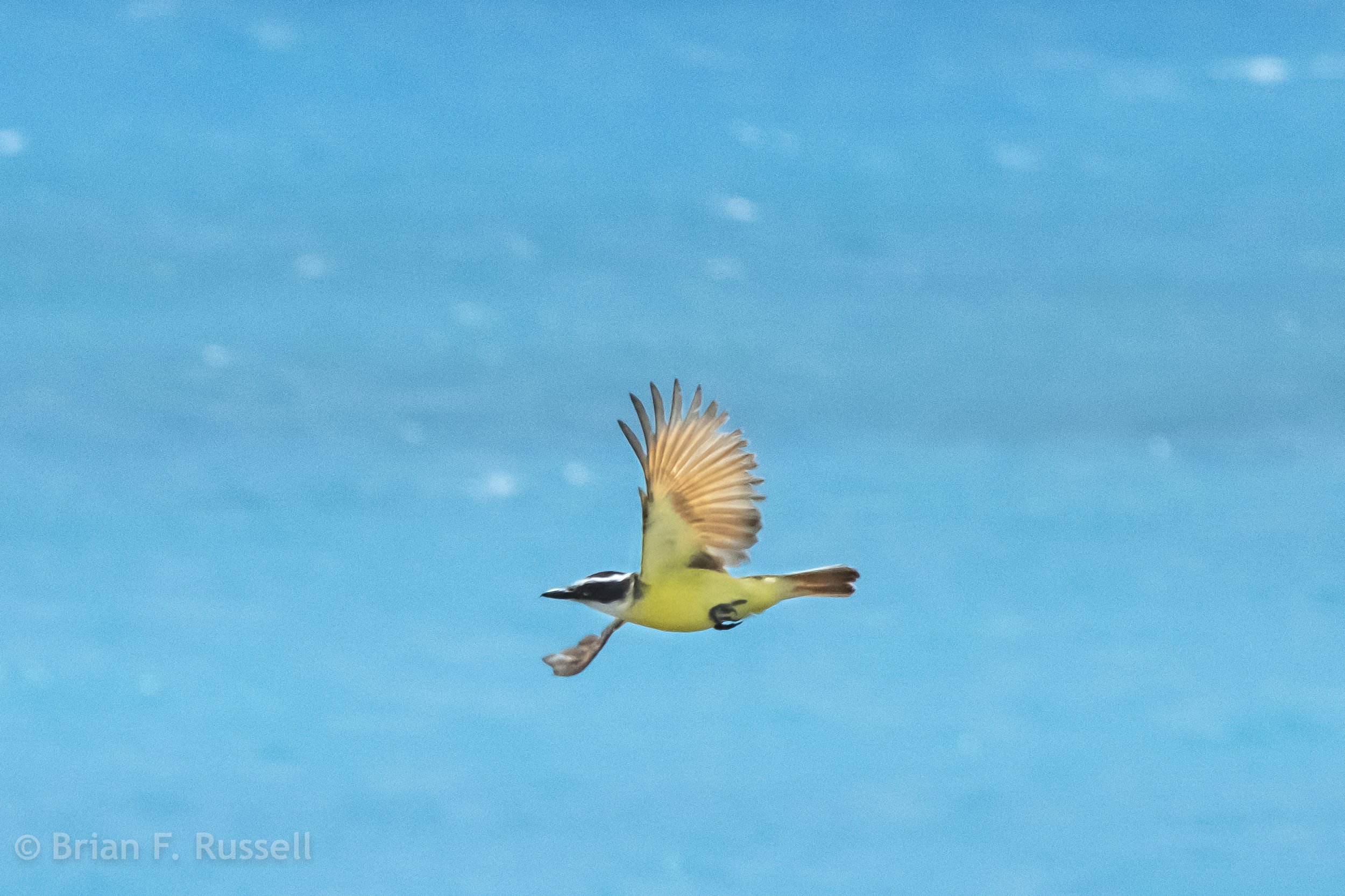
We had another day of nice sunny skies to wander around St Georges, the spring flowers were in full bloom and we enjoyed discovering a new to us bird, the Kiskadee.
Bermuda gaff ketch rig.
And then it rained, and rained, and rained.
We. had one more day of good weather which we grabbed and armed with our transport pass we hopped on a morning bus to Hamilton, the capital city of Bermuda. Hamilton is not as quaint as St Georges, it is a city after all. Stores, offices, government buildings.
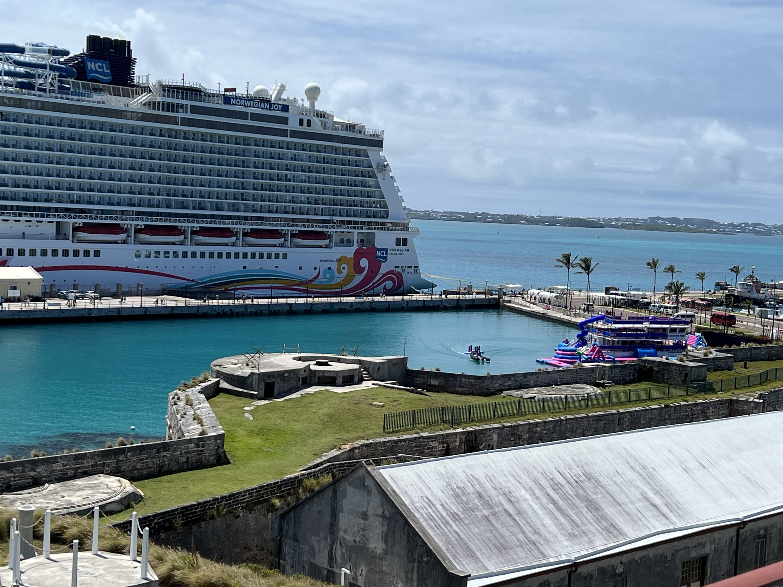
We took the ferry across the bay to the historical dockyards area. This is where the cruise ships that have gotten so big they cannot squeeze into St Georges tie up. There was one on the dock, but the passengers must have been off shopping, the Royal Naval Dockyard, fort and museum that we came to visit was practically empty.
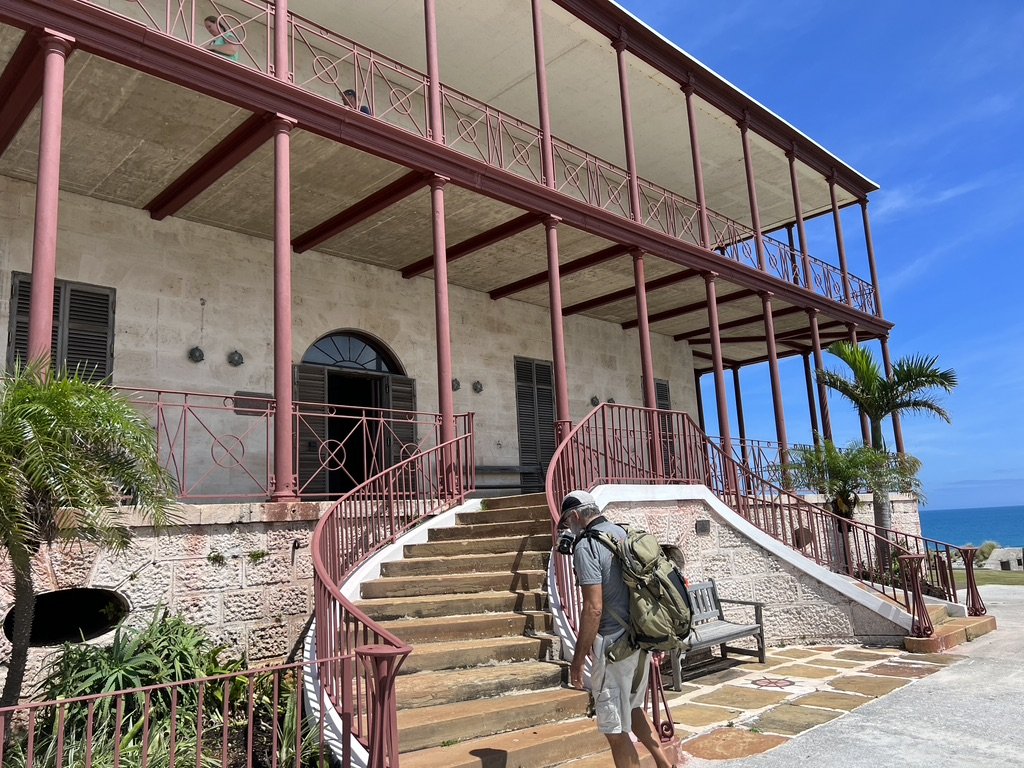
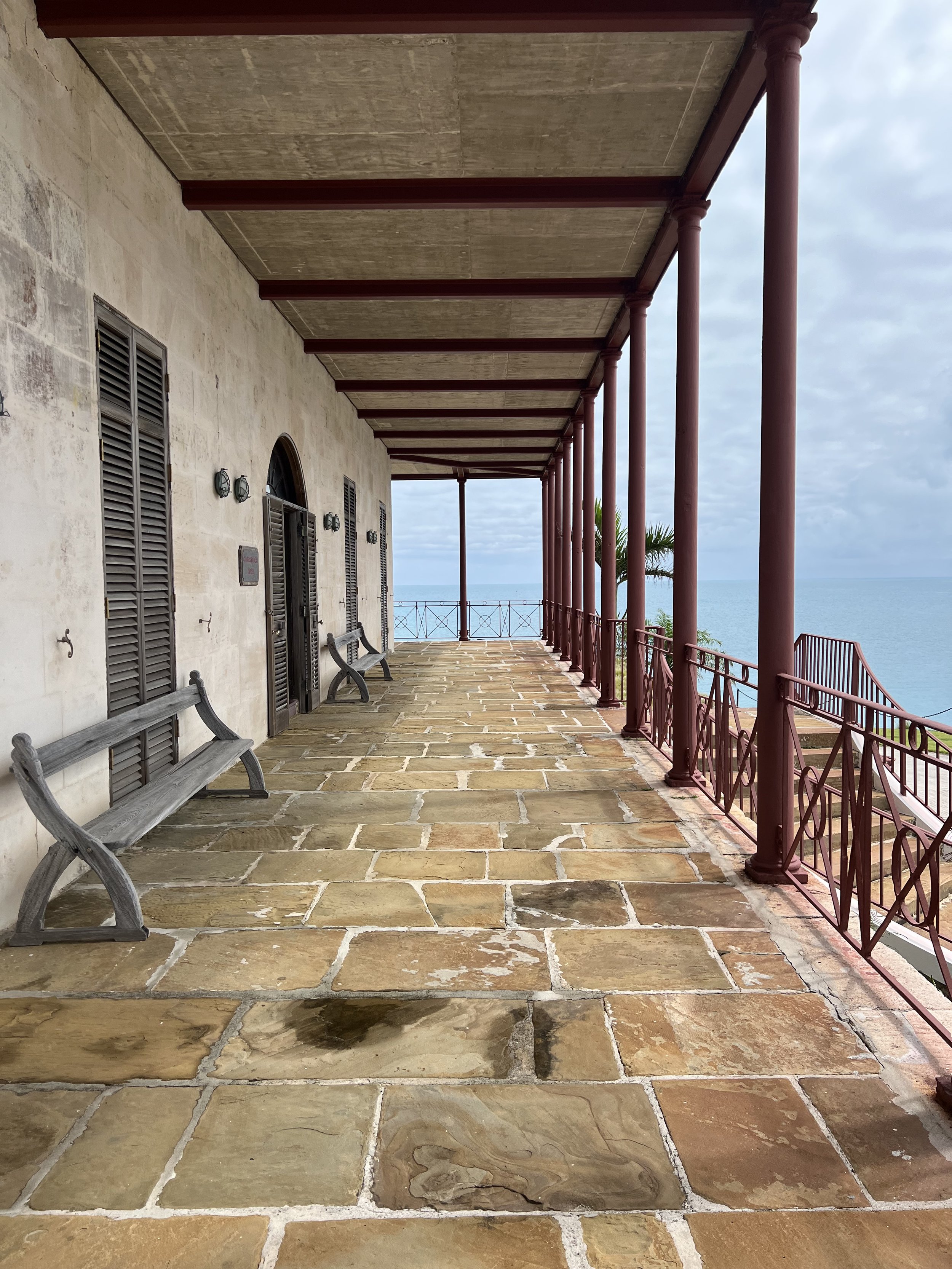
The National museum of Bermuda was in the fort, the exhibits displayed in the Governors mansion on the hilltop.
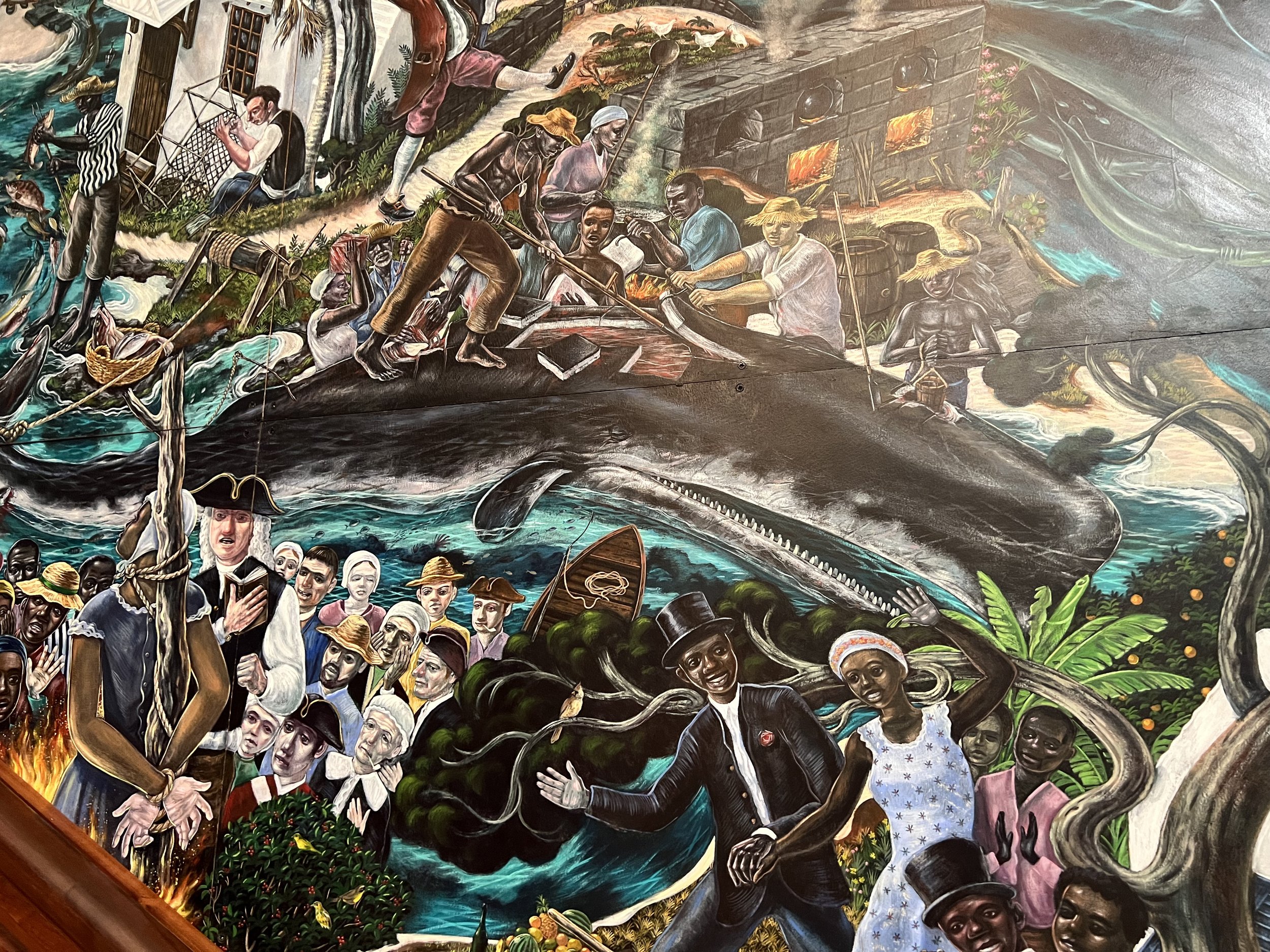
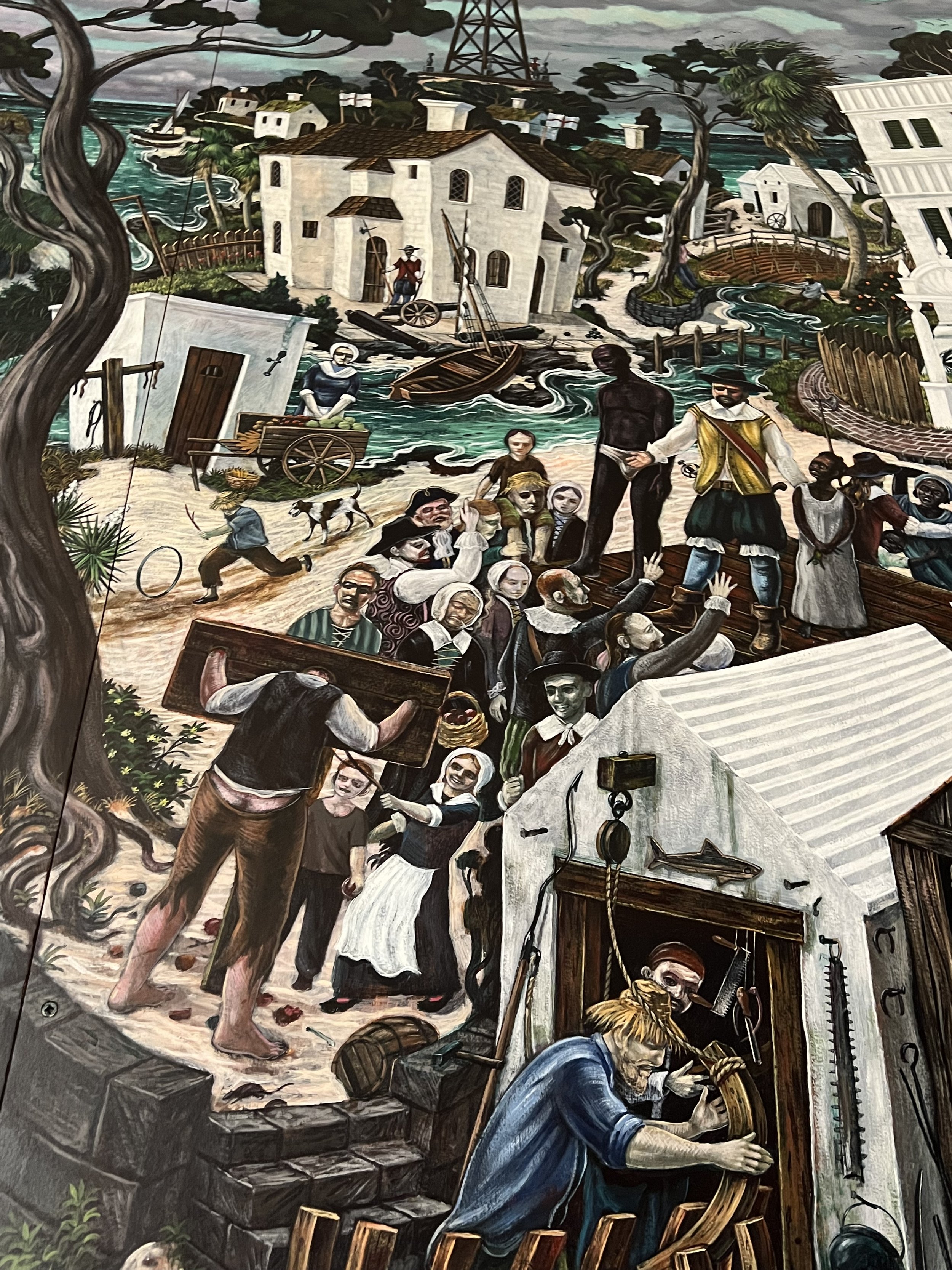
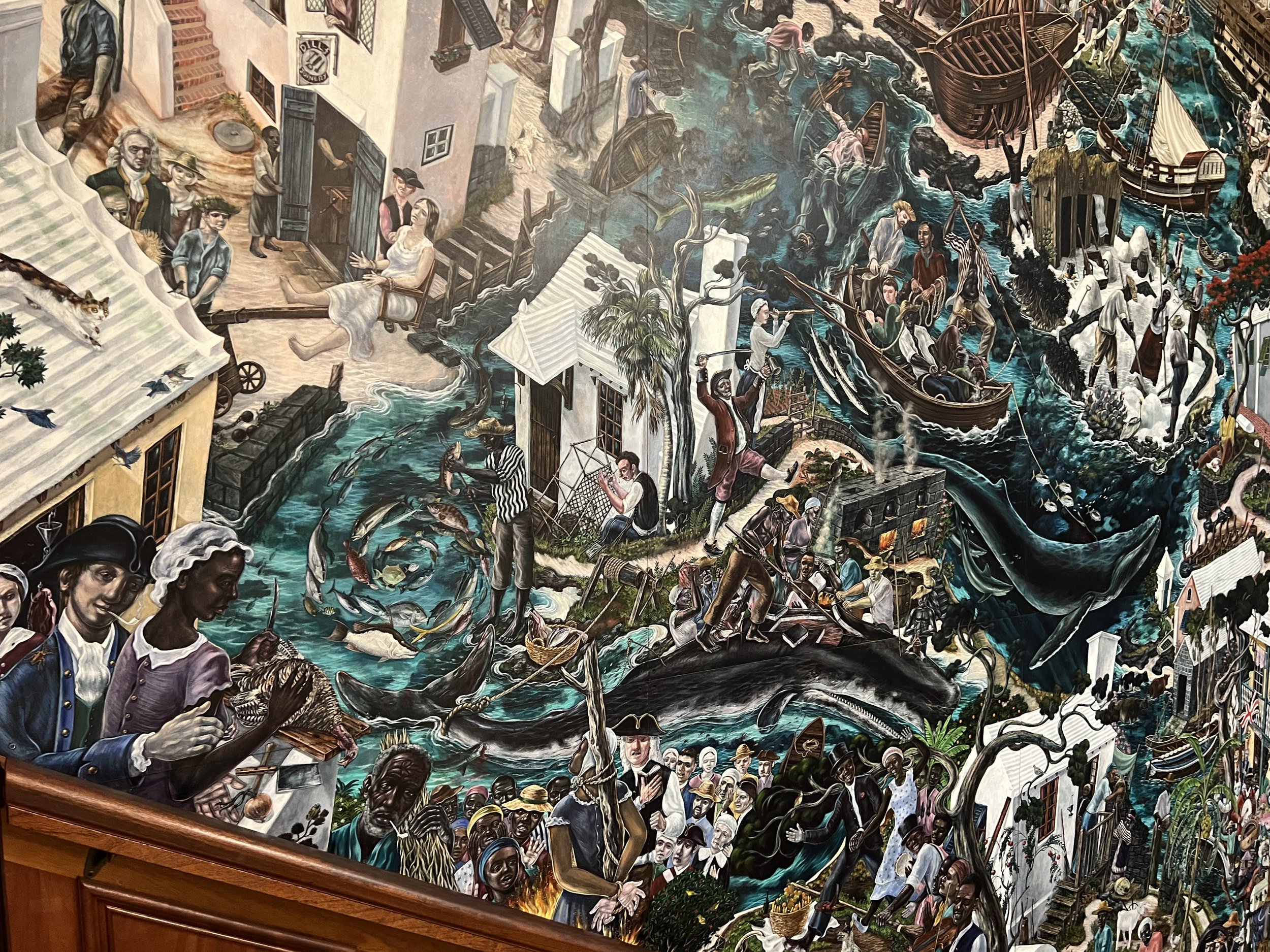
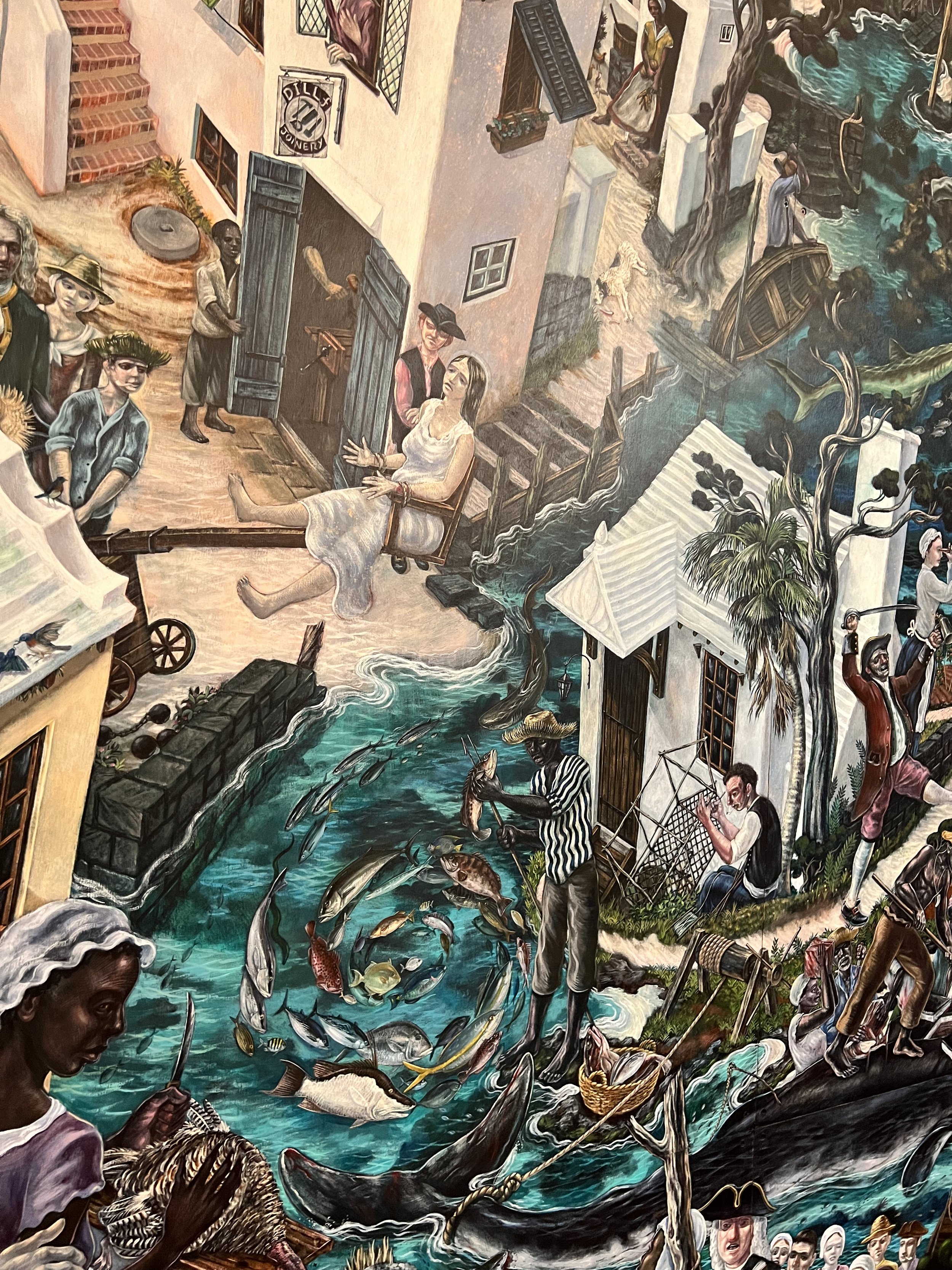
The mural depicting 500 years of Bermudan history, from the first discovery in 1505 to 2009.
The highlight of the museum for me was this mural. It wrapped around the stairwell in the governors mansion and described the history of Bermuda. It took the artist, Graham Foster 3 1/2 years to complete and the details in the paintings were just wonderful. He depicted major historical moments but more fascinating were the more mundane domestic historical scenes; the whaling industry, slave auctions, and the ducking chair used amongst other things for determining if a woman was indeed a witch (if she survived she was, if she died she was not).
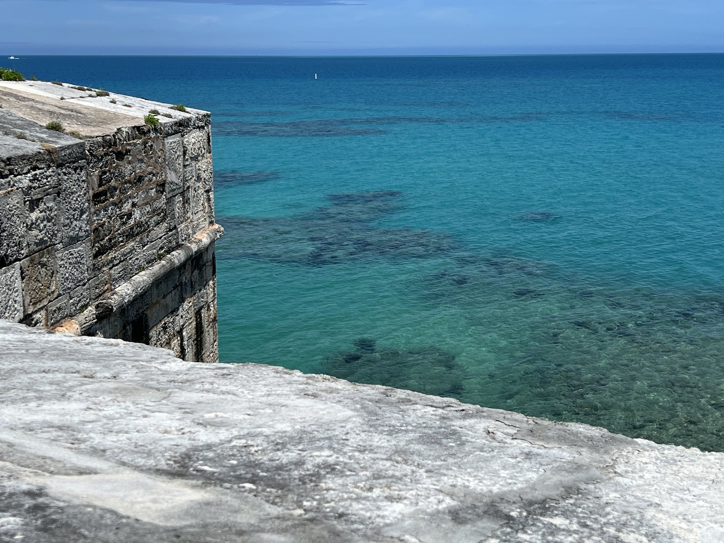
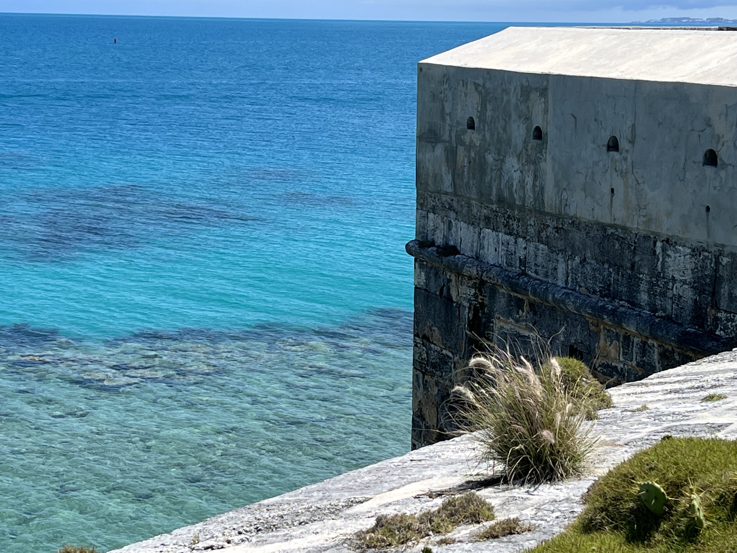
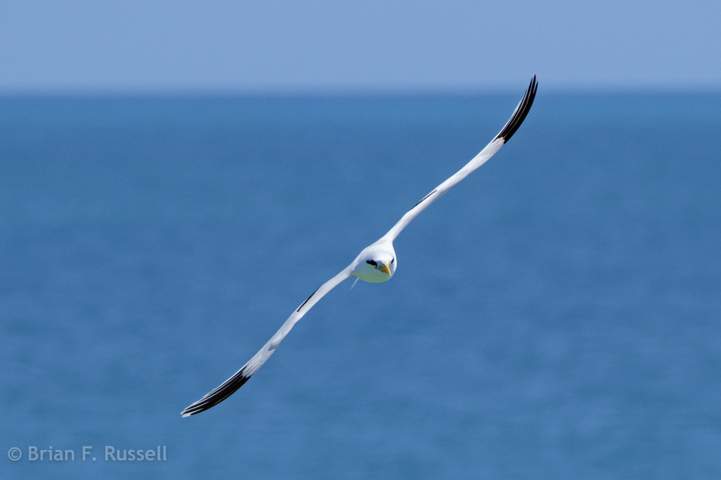
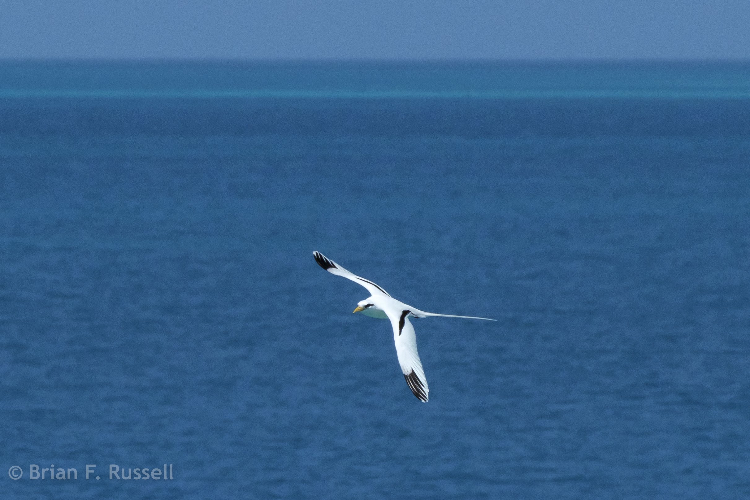
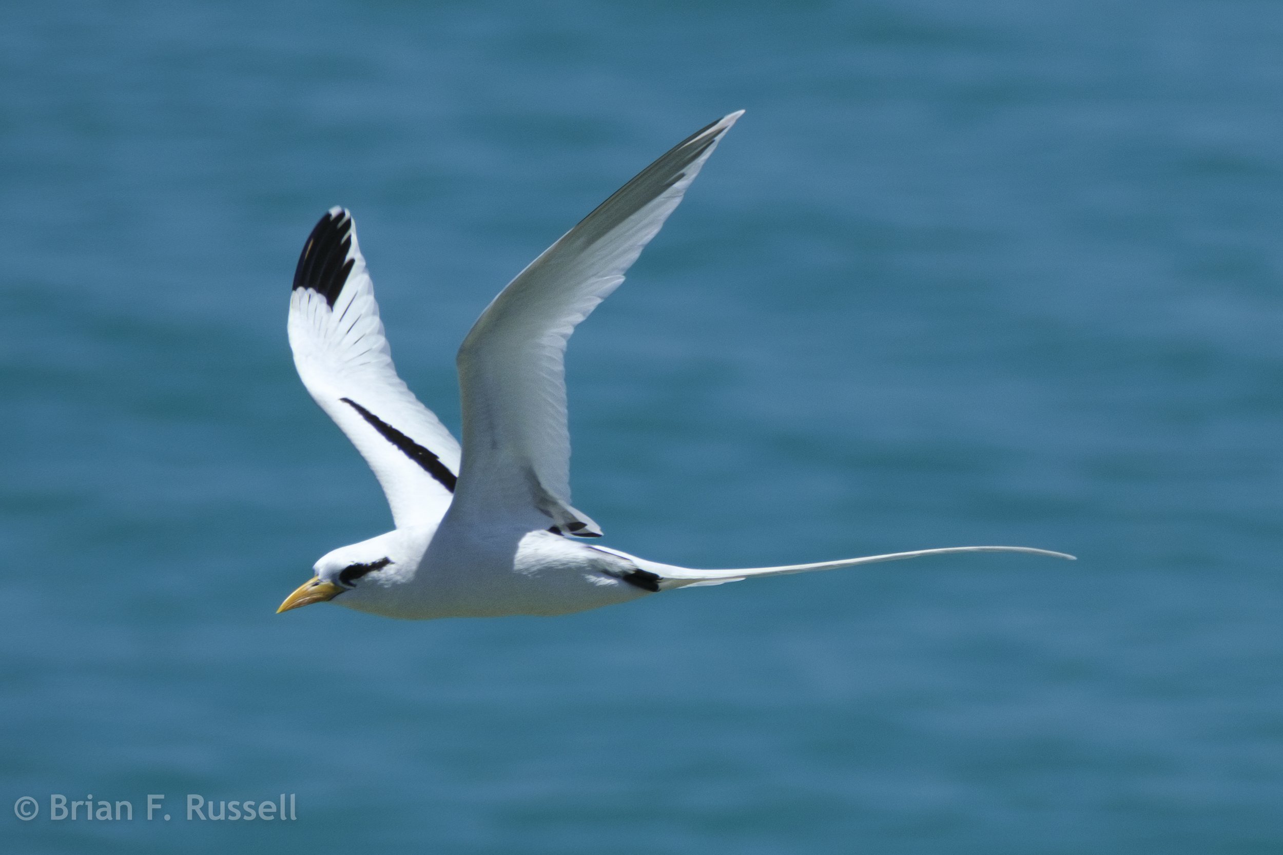
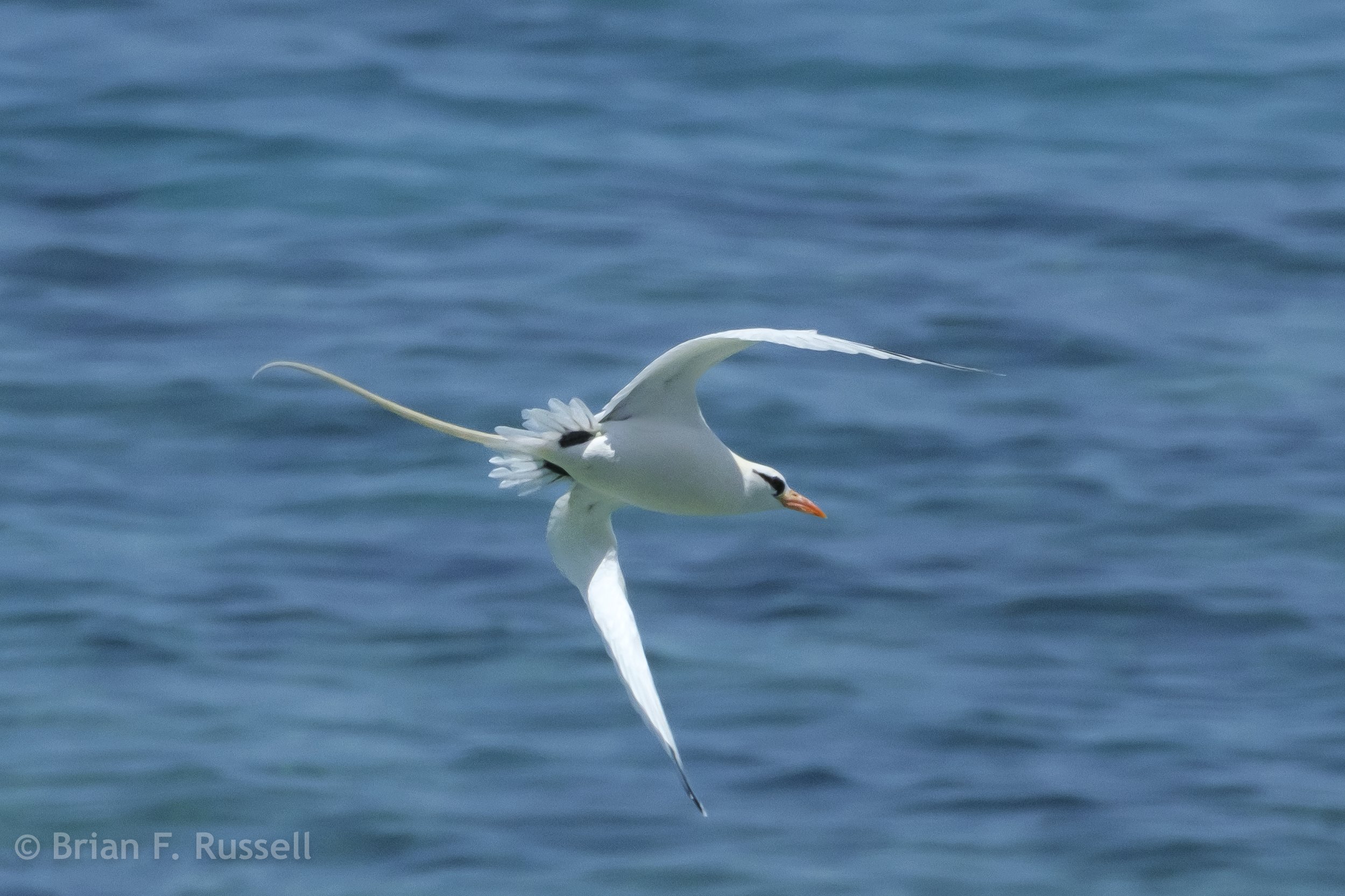
The views out over the reef strewn waters were lovely, that intense blue color makes you want to go sailing! There were nests recently built in to the fort walls to encourage the establishment of a colony of the beautiful White-tailed Tropicbird.
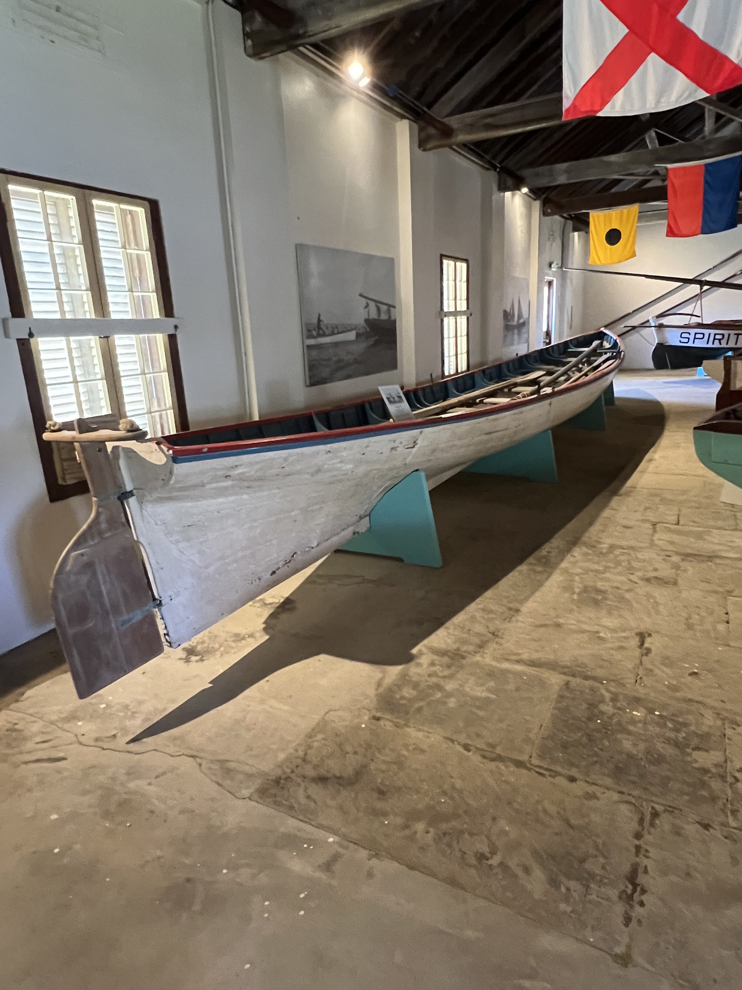
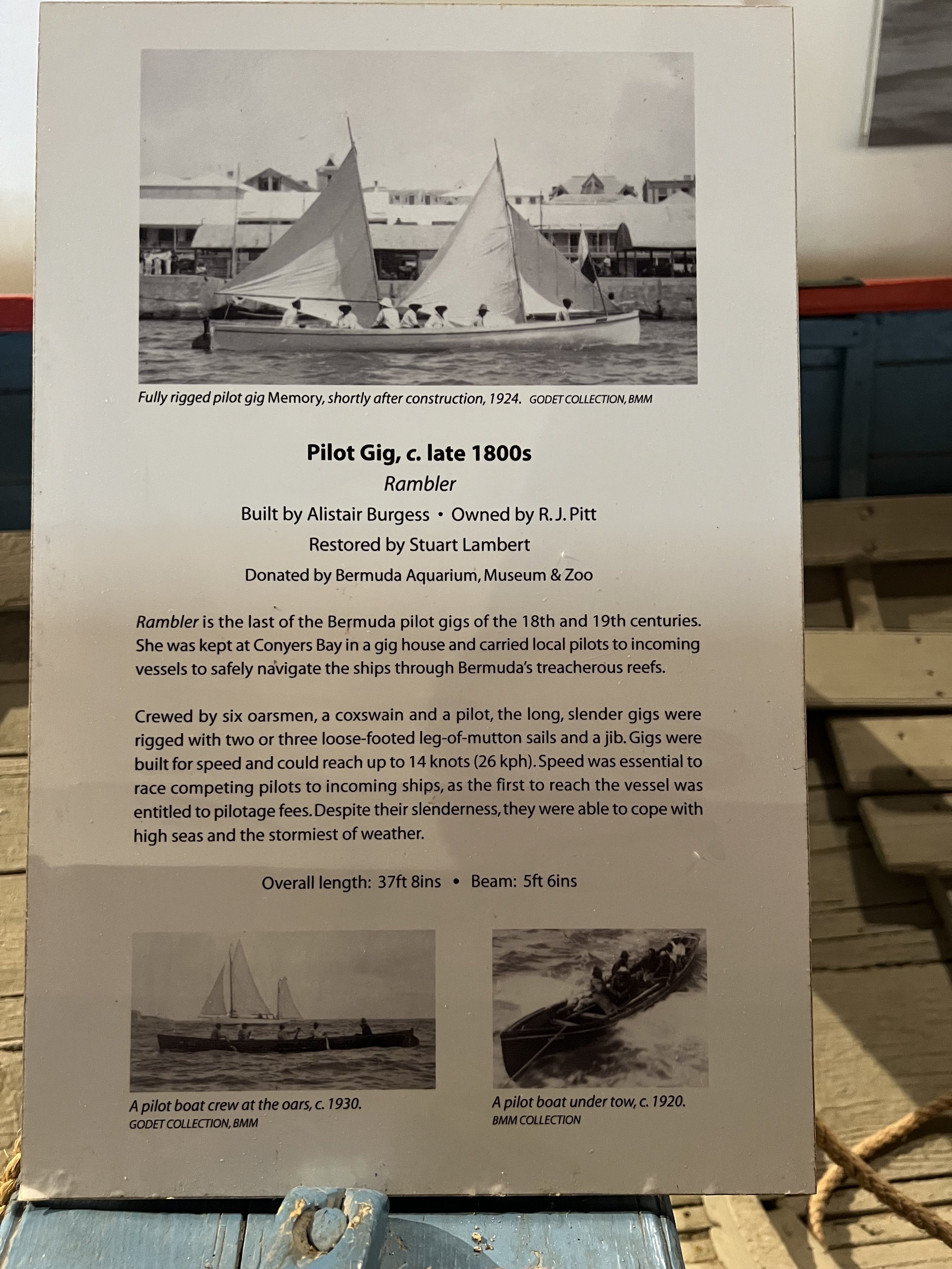
Another interesting exhibit was about the local pilot boats, used to go out and provide a pilot to guide visiting ships safely through the reefs into the harbor. They were impossibly long, built for speed so as to reach the ship first to get the business.
Back in St Georges we were waiting for suitable weather to make the crossing from Bermuda to Nova Scotia. This was not a passage we were looking forward to. A year ago friends of ours began the same journey, but tragically did not arrive. https://www.bwsailing.com/anatomy-of-a-tragedy-at-sea/
We were taking planning very, very seriously. The danger of this particular passage is the necessity of crossing the Gulf Stream, a huge river of warm water flowing northeast at 3-4 knots through the Atlantic towards northern Europe; if there is any wind in a contrary direction to the flow of the water, waves rapidly build and it can become dangerously rough. The problem we were having was that there was a near constant cycle of weather that had streams of easterly winds moving down from Nova Scotia. Our timing had to be perfect.
As we waited we saw our neighbors had run into a little problem. When they tried to raise their anchor, they discovered the chain had gotten wrapped around an unmarked submerged piling. They had to call in the divers to free them. It was a process that took all day. We worried were we stuck too? It turned out we were not! Finally after 10 days in Bermuda we pulled up our anchor, filled up on fuel, checked out with customs and sailed out of St Georges cut, Nova Scotia bound.
Passage preparation
Leaving St Martin on passage to Bermuda.
We arrive in St Martin at the beginning of May. We are now in passage preparation mode and not really thinking of being tourists. St Martin is not a particularly large island yet it is managed by two overseas governments, France and Netherlands. We anchored on the French side, in Marigot Bay, having discovered the ease and economy of the French immigration formalities. Once established we are able to visit the Dutch side with no issues, so there is nothing to be gained by paying more for the privilege of anchoring on the Dutch side.
Marigot Bay, St Martin showing the lagoon over to the bridge and the Dutch side.
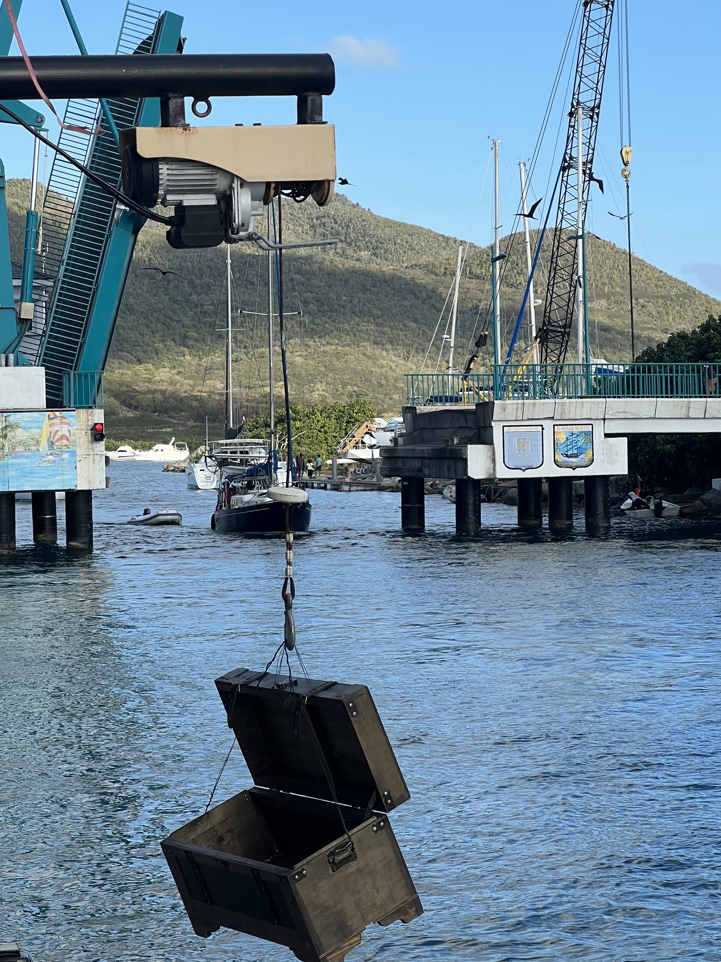
The town of Marigot spreads along the length of Marigot Bay. Behind the narrow spit of land there is a large lagoon which can be accessed through a drawbridge. The water inside the lagoon on the French side is very shallow and not suitable for our 6ft draft. It is however fine for the dinghy, and we were able to zip over to the Dutch side with ease to access the big box stores and larger chandelries that they had. Perfect for our mission of passage prep.
We spend most of our 10 days in St Martin making trips to the various grocery stores. Walking around town was interesting, but not particularly scenic. There were some colorful murals and the central market was always lively with stalls selling souvenir dresses, T-shirts and the like to the visiting tourists. They were not aimed at us penny pinching cruisers.
Fort St Louis looms over the northern end of the bay and gives fine views of the area. We enjoy meeting some other OCC (Ocean Cruising Club) members for happy hour and pizza and we exchange notes of upcoming weather and ports we have enjoyed. Soon it is time to leave, there is a weather window that will take us safely to Bermuda, but we have to go and sail fast.
We leave St Martin May 12th 2023 under grey skies. The first day sailing we were on the lookout for squalls, using the radar to determine their path and plot avoidance strategies.
The six and a half day passage gave us some beautiful sunrises and sunsets.
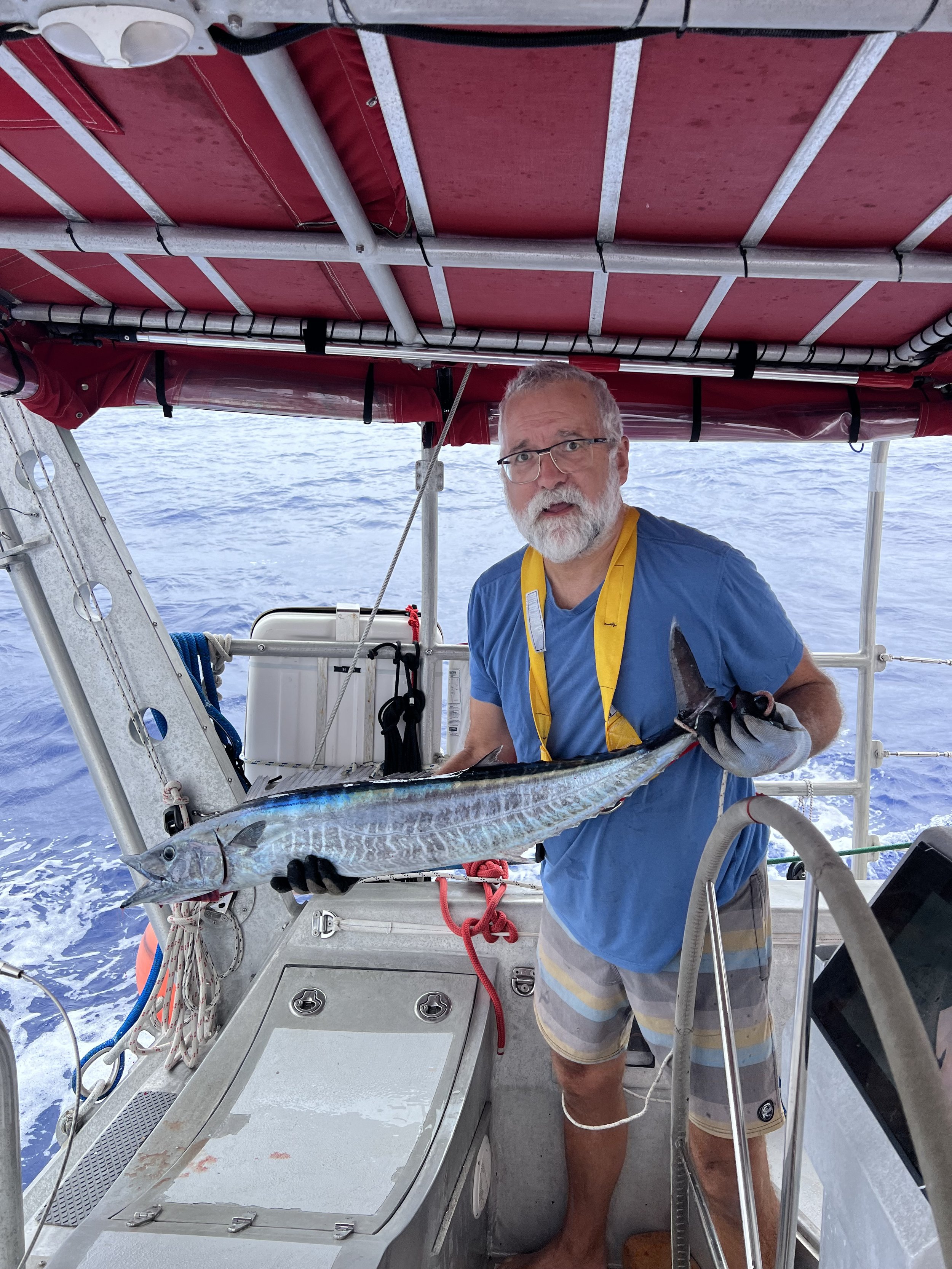
Our passage was quite fast, we averaged 167nm a day. The fishing lines went out during the slower periods and we caught a nice Wahoo which fit perfectly in the freezer, after enjoying a fresh fillet for dinner.
Toward the end we slowed down intentionally to arrive during daylight hours. Bermuda is surrounded by reefs and the passage into the harbor is narrow and potentially very confusing in the dark. Trying to distinguish between navigation lights on the buoys, mast head lights and lights on shore when sleep deprived is not easy. We therefore arrived at 8am motoring through St Georges Cut and straight onto the customs dock to check in. Our timing was perfect. That evening the winds climbed as a strong weather front crept down from the north and settled over Bermuda. We will be here a while.
Return to Antigua
Jolly Harbor, Antigua.
We sail to Antigua and just catch our friends on SV Wychcraft and SV Gerty before they leave. We have a lovely evening together where we tell stories about all that had happened since we last met them in Cape Verde (SV Wychcraft) and the Azores (SV Gerty). The next day we parted ways again. It is amazing to me that such a gathering could ever happen. We each met the other two boats independently, yet recognized the same kindred spirit, kept in touch and made this connection of the three boats.
Fantastic evening onboard Wychcraft.
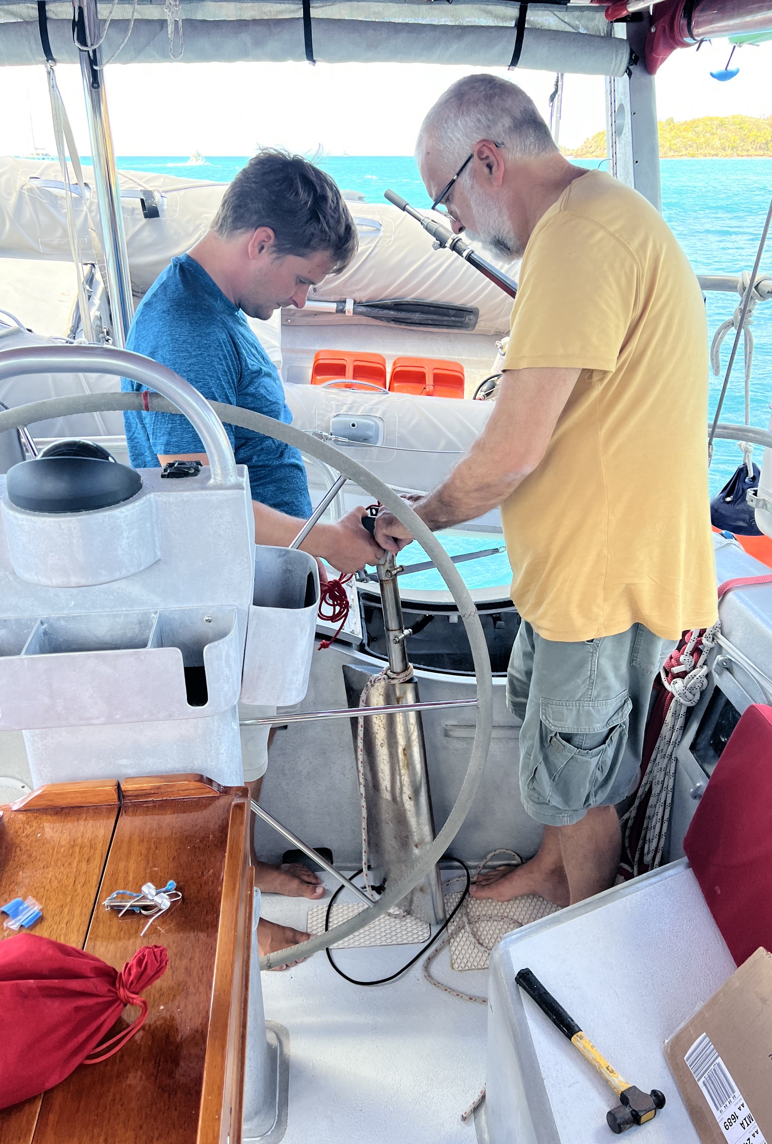
We also helped out the crew of SV Zora with some metal work on Rhys’ wind vane steering oar. We first met Zora in Martinique, however we had corresponded with them years before through the boat building project. Rhys rebuilt his boat from a bare hull in Ireland and has posted some Youtube videos of the project.
The next few days we prepared the boat to leave her in Antigua as we were to return home for a month to attend to Brent and Kianna’s wedding. We had made a reservation at the marina in Jolly Harbor, but at the last minute we were offered the use of a dock behind a condominium at a fraction of the cost. This was perfect and at the end of February we moved her in place and flew home.
Family time.
It was so nice to have the family back together and to celebrate with Brent and Kianna on their wedding day. The weather turned out perfectly and all our hard work to get the house back in tip top shape after 11 months absence was well worth it.
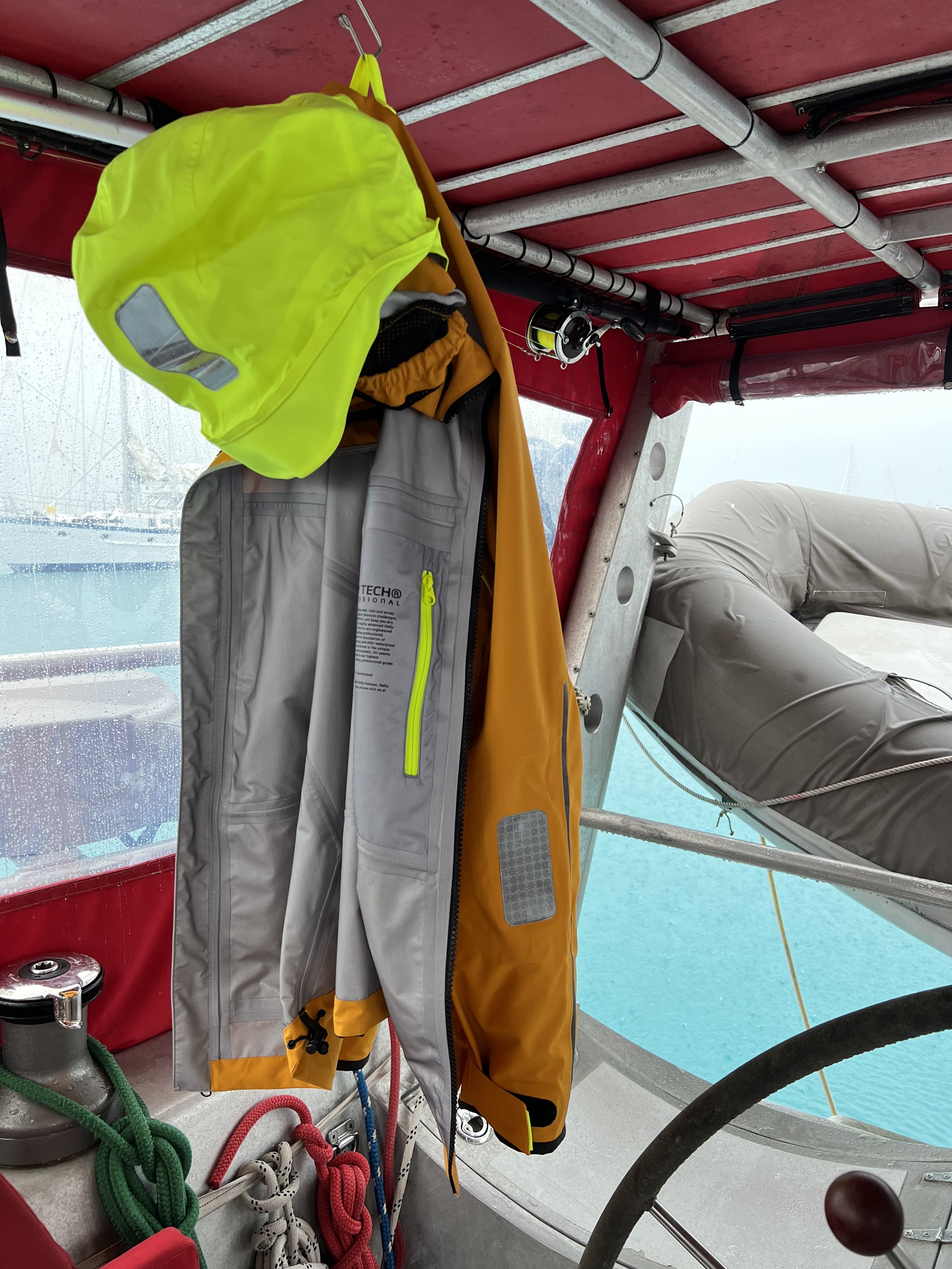
Before we knew it, a month had passed and we flew back to Helacious in Antigua with much more luggage than we went home with. New solar panels, new foul weather gear, new parts, spare parts. We had a few days to get some projects done before guests arrived, so out came the sewing machine.
An extra 100 watts added to our solar bank.
While we were in Freemans Bay the last of the Talisker trans-Atlantic solo rowers arrived. A Norwegian lady had rowed from the Canary Islands to Antigua, it took her 113 days. It was so much fun to be present for the event, the airhorns and cheers from anchored boats were deafening.
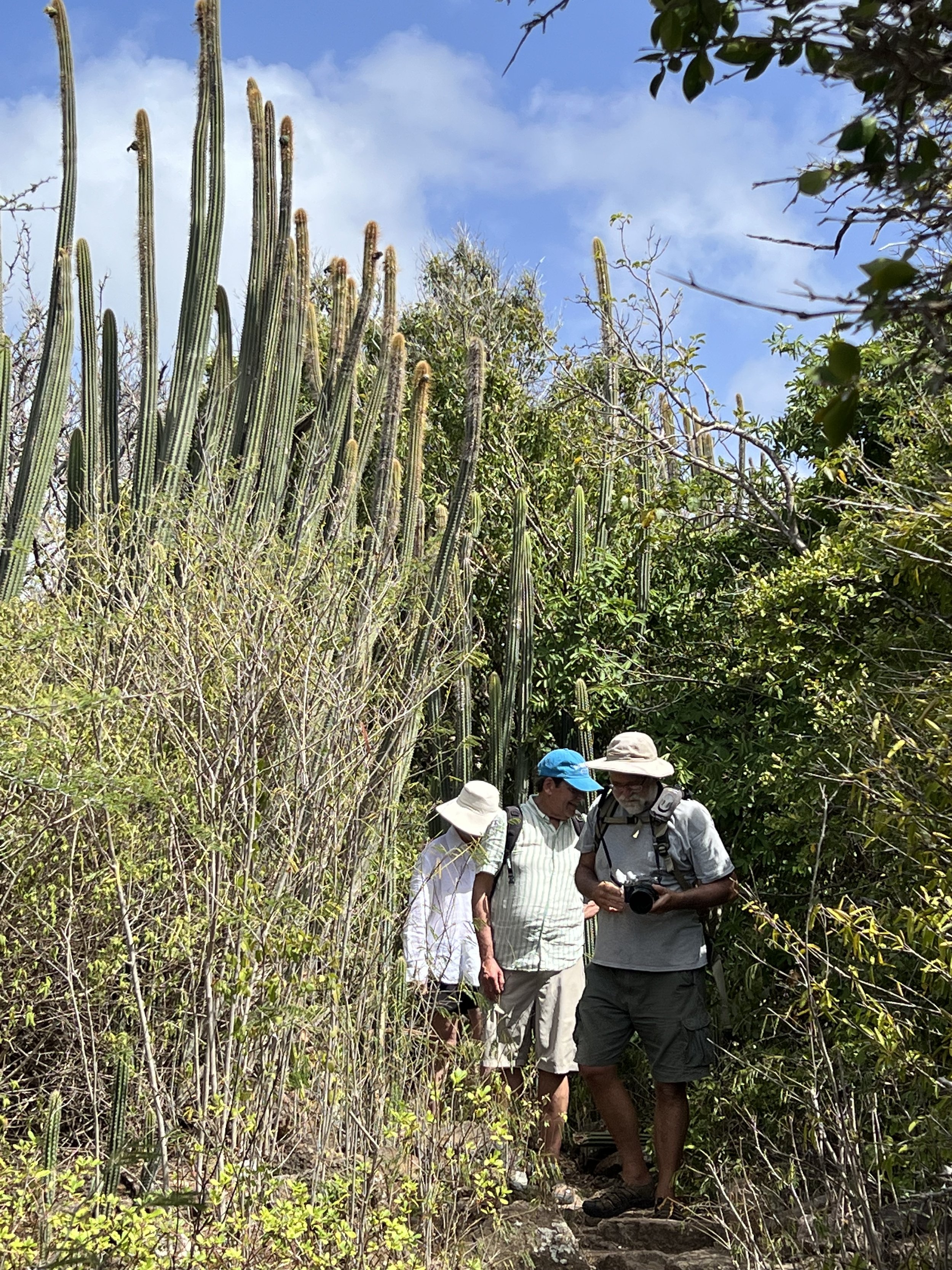
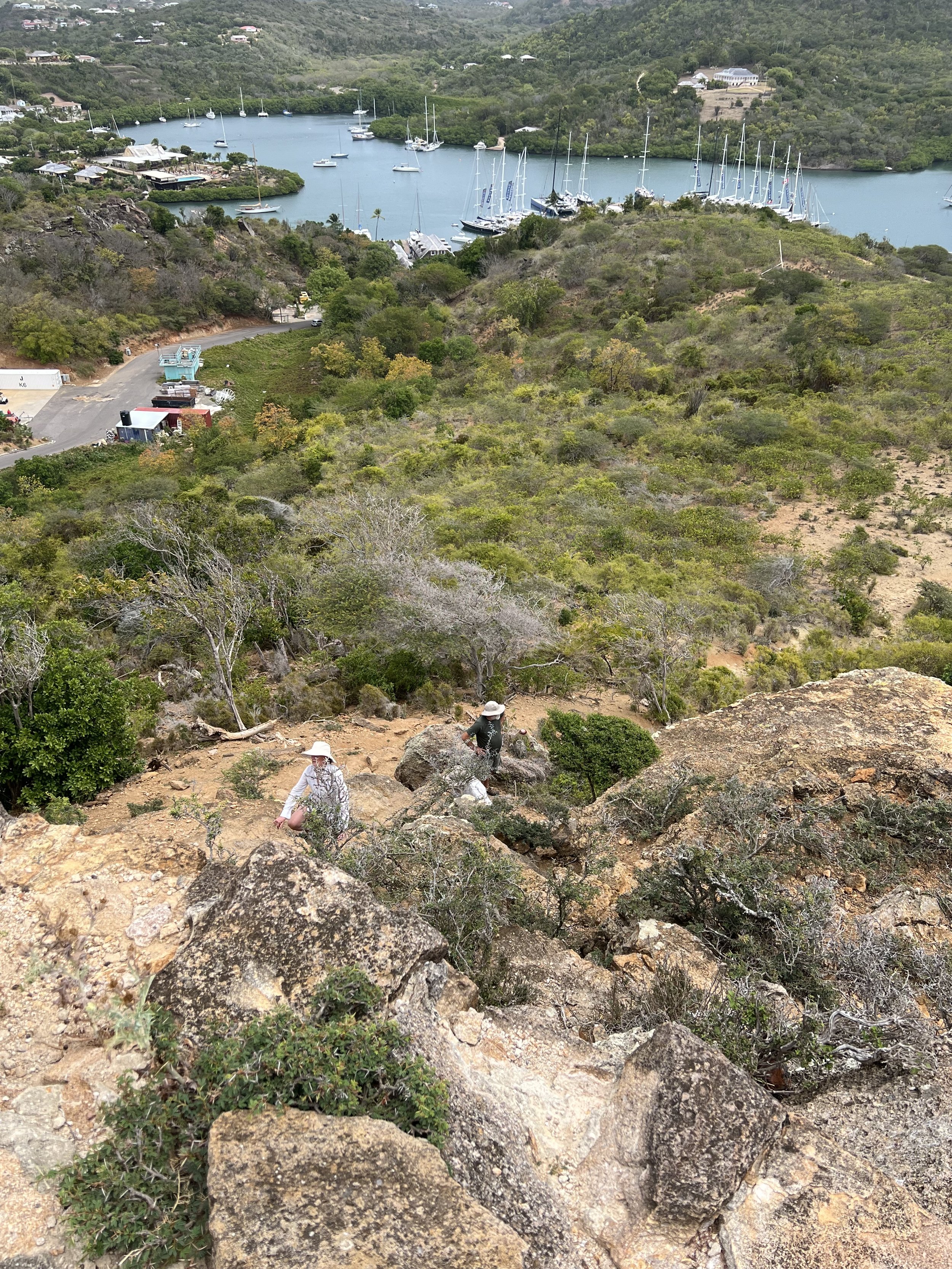
With our good friends Lee and Lys we explored English Harbor and climbed Shirley Heights. It was just as steep as I remembered from two years ago. The cacti and flowers were just as beautiful.
We walked out to the Fort and up the hill for the fine views
We sailed over to Green Island and scored lobster one evening for dinner. Only locals are allowed to spear fish so we were fortunate it was Easter weekend and a local family had simply caught too many for their celebrations, they came and offered a couple to us.
Then it was just us two again, we decided to head up to Barbuda for a short break. Barbuda is about 30nm north of Antigua, but under the same governance. In fact we were hoping we could spend a few days there, then check out from Barbuda, instead of having to sail back south to Antigua merely for customs and immigration clearance. However after 5 days in Barbuda, our supplies were running low and there was insufficient wind for our onward passage, so we reluctantly returned for a few days until we could leave and sail north to St Martin.
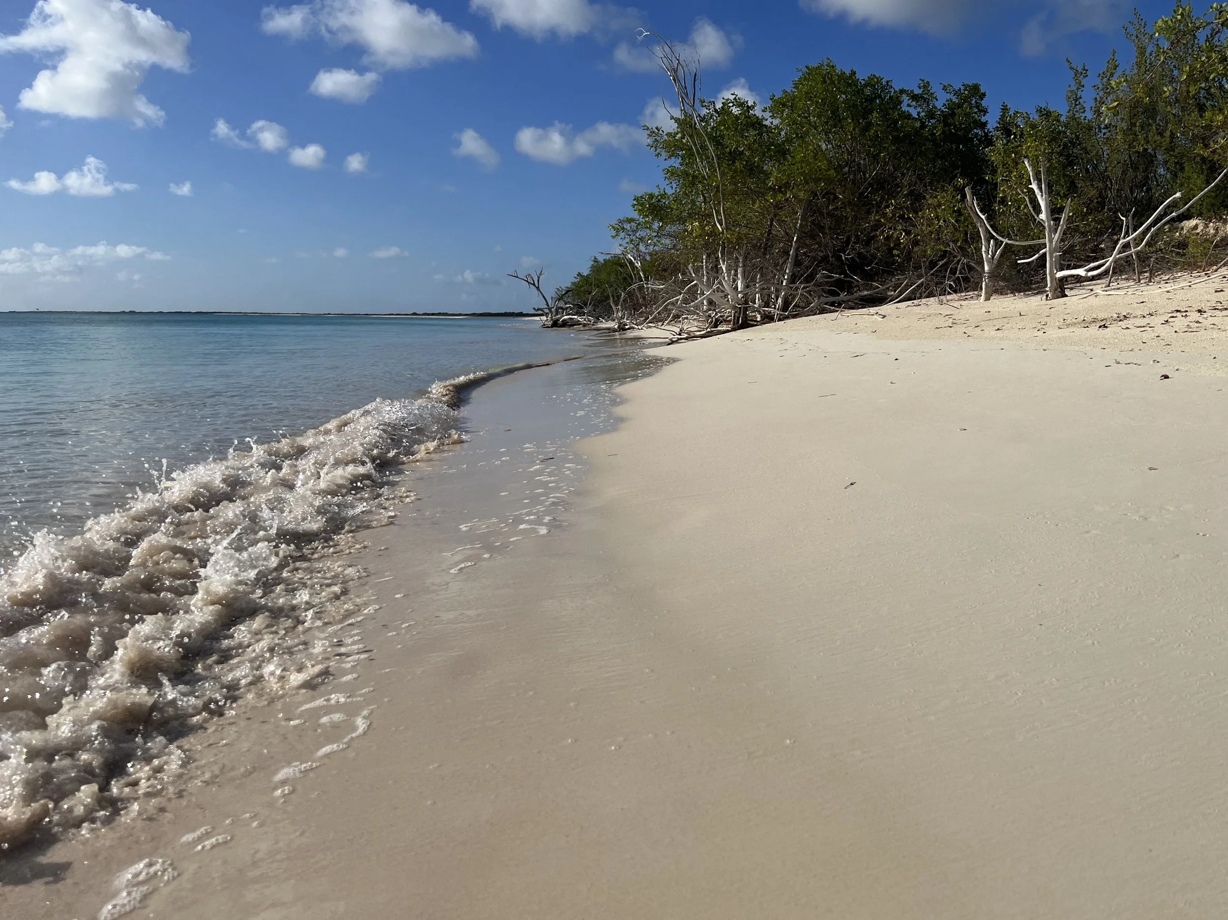
While in Barbuda we had some wonderful sunsets and the water was so calm and clear we could see the anchor chain winding away from the boat.
We also treated ourselves to an early farewell Caribbean luncheon at a very nice resort out on the tip of Barbuda, called Barbuda Belle. Lunch was lovely, but staying a night in the cabins at over $1500 a night seemed a little steep to us (the WiFi was free!).
Sailing back to Antigua we caught an enormous Spanish Mackerel. We filleted it, and only then read up on the incidence of ciguatera poisoning in the Caribbean. In every article we found the one common fish mentioned was Spanish Mackerel. We reluctantly, and guiltily discarded our catch back into the ocean. It was just not worth the risk to get poisoned by this dangerous and unpredictable neurotoxin. That would quickly put an end to our trip. A lesson was learned, no more fishing in warm shallow waters.
We waited for the weather window for our passage north. Finally winds were from the SE and sufficient to move Helacious onwards. We set sail the afternoon of April 30th and sailed an overnight passage to arrive the next morning in Marigot Bay, St Martin.
Coconut rum
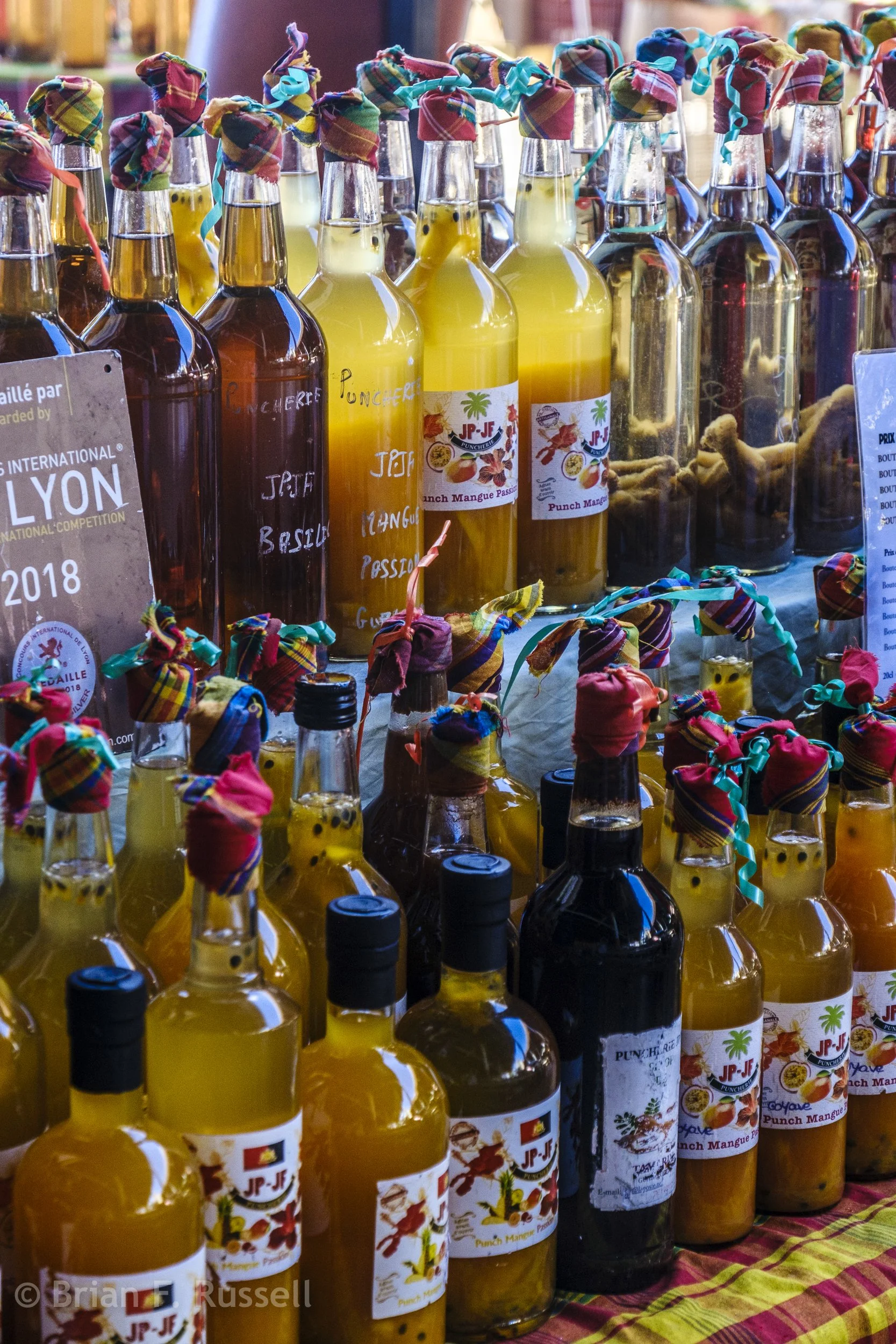
Flavored rums for sale in the central market, Basse-Terre.
Guadeloupe is an island with a split personality-geographically speaking. If you look at a chart it resembles a butterfly with two distinct wings. The western most island is mountainous and forested, while the easternmost part is much flatter and more agricultural. They are separated by a narrow and shallow river/canal, not navigable except by dinghy due to a low bridge. We only spent a short time in Guadeloupe visiting from the western shore, so fully intend to return and live up to Helacious’ motto and “explore more”.
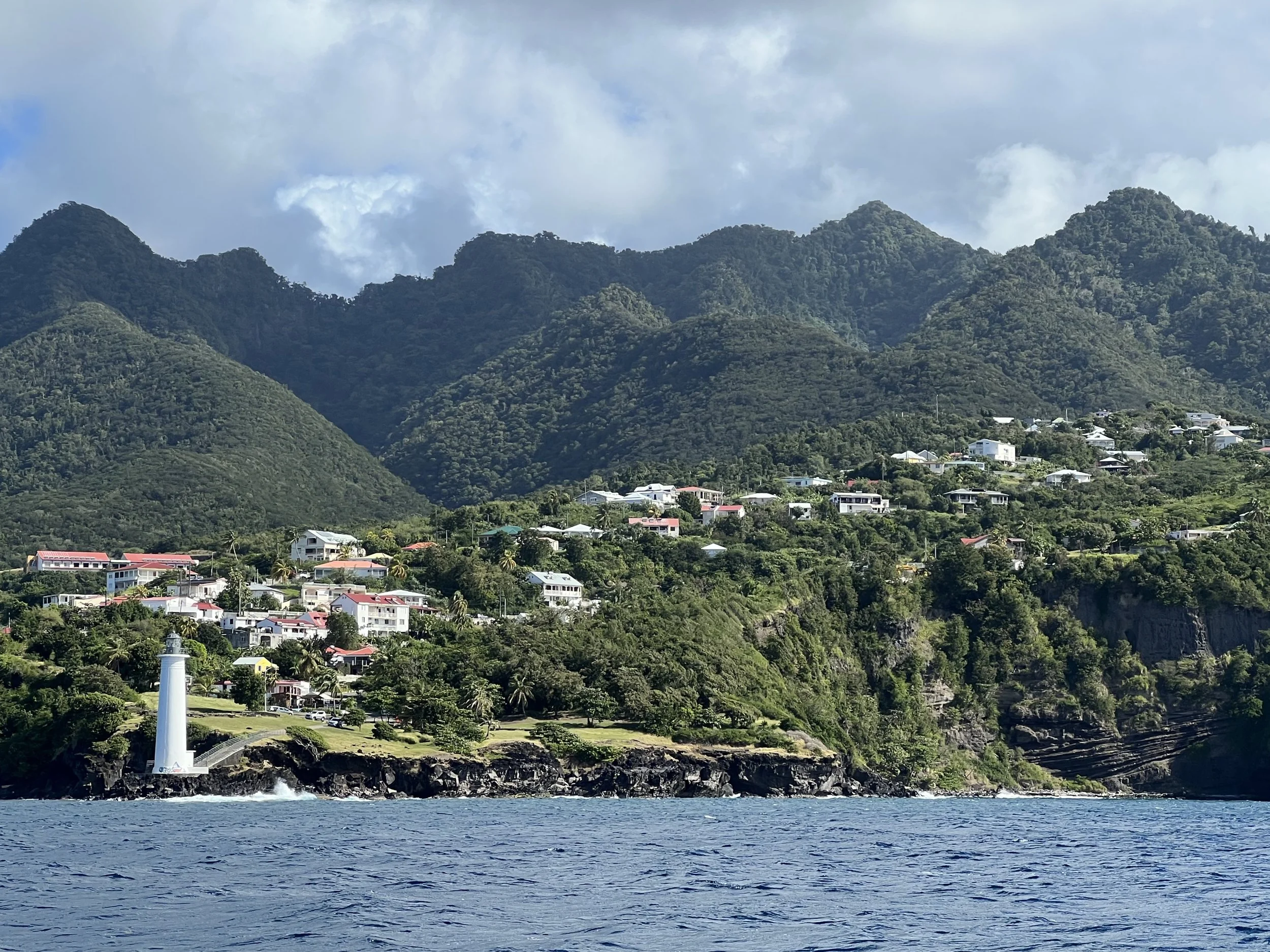
Approaching the SW coastline of Guadeloupe.
We anchored in a roadstead anchorage as the weather was calm. It was literally alongside the main coastal road, but gave little protection should the wind pipe up. Nevertheless this was close to Basse-Terre, the island’s second largest town and its capital, so was a perfect place given the conditions.
Anchorage at Rivière Sens, near Basse-Terre
The next day along with the crew of SV BeBe we went to explore Basse-Terre and to find a lunch spot to celebrate Valentines day. We tied the dinghy up in the marina and walked along the river walk into town. Basse-Terre felt forgotten, the once elegant buildings covered with vines and peeling paint.
The central market was large and full of vegetable stalls, handcrafted goods, spices and the flavored rums, Oh my!
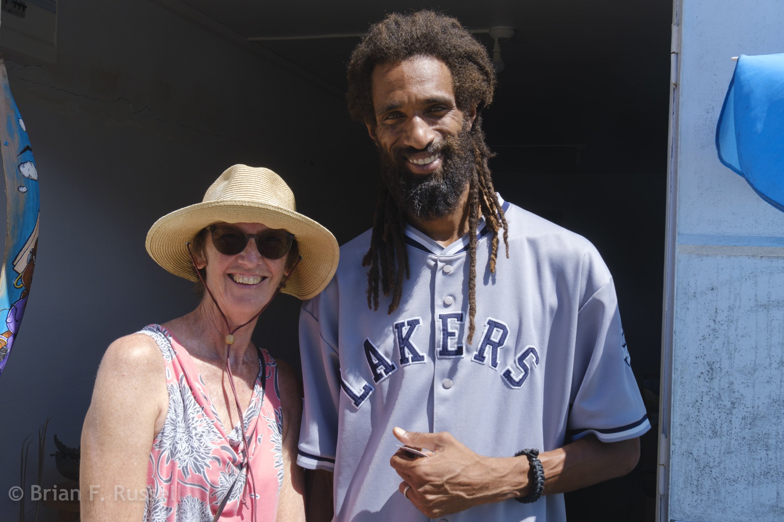
Helen with a most charming (and very tall) vegetable seller.
In contrast to the back streets, the center of town was buzzing with activity and we had not seen so many stores open for business since leaving Europe. We found our restaurant, JP-JF, the maker of all those flavored rums, and enjoyed a fine creole curry lunch, complete with a Valentines day rose for the ladies. On the counter were a selection of the flavored rums for us to sample. We discovered the coconut rum to be most delicious and came away with a bottle.
The next day we found a trail that lead up a river valley from our anchorage. It was quite tricky as the path was a mass of rocks and roots.The foliage was large and quite different to what we had seen before. At the summit we discovered the Guadeloupe Observatory for Volcanic Studies. We went in even though it was not actually open to the public (well the door was open) and we were given a brief description of the work they do there monitoring tremors in the earths crust throughout the Caribbean basin.
Along the path we encountered many leaf cutter ants, so difficult to photograph, so fascinating to watch. It is interesting how they decimate a single leaf down to the veins, yet not touch neighboring leaves.
The next day we moved on to the small town of Bouillante, meaning “boiling”. There is nothing to particularly commend this town other than the geothermal power plant, providing electricity for the area using superheated water from just below the earth's crust, which then discharges the coolant water into the bay. This effectively provides a spa experience and was a popular spot for sundowners for locals as well as cruisers.
Spa experience in Boulliante.
The next bay north was on my ‘must do’ list for Guadeloupe, The Jaques Cousteau National Maritime Park. There is an island, Pigeon Island, in the bay that has wonderful snorkeling. We had to wait a few days for the weather to be calm enough, but when it was we took the dinghy over, tied to a park mooring and checked it out.
School of Blue Tang off Pigeon Island.
Bubbles from scuba divers below.
We were joined at Pigeon Island by both SV BeBe and SV Miles2Go and enjoyed evenings of sundowners and lessons in splicing. Such good friendships are made, the lifestyle has already filtered for like minded people, the rest is so easy. We will be seeing y’all again.
Our last stop in Guadeloupe was Deshaies, a picturesque fishing village toward the northern tip of the west coast. It is a deep bay and quite crowded as it is the only checking in/out place for miles. We snagged a mooring thanks to Miles2Go who were ahead of us and we settled in for a few days. Our neighbor in the bay was the Golden Globe Race boat of Arnaud Gaist who had retired from the race in the south Atlantic due to fouling with barnacles and weakened mast.
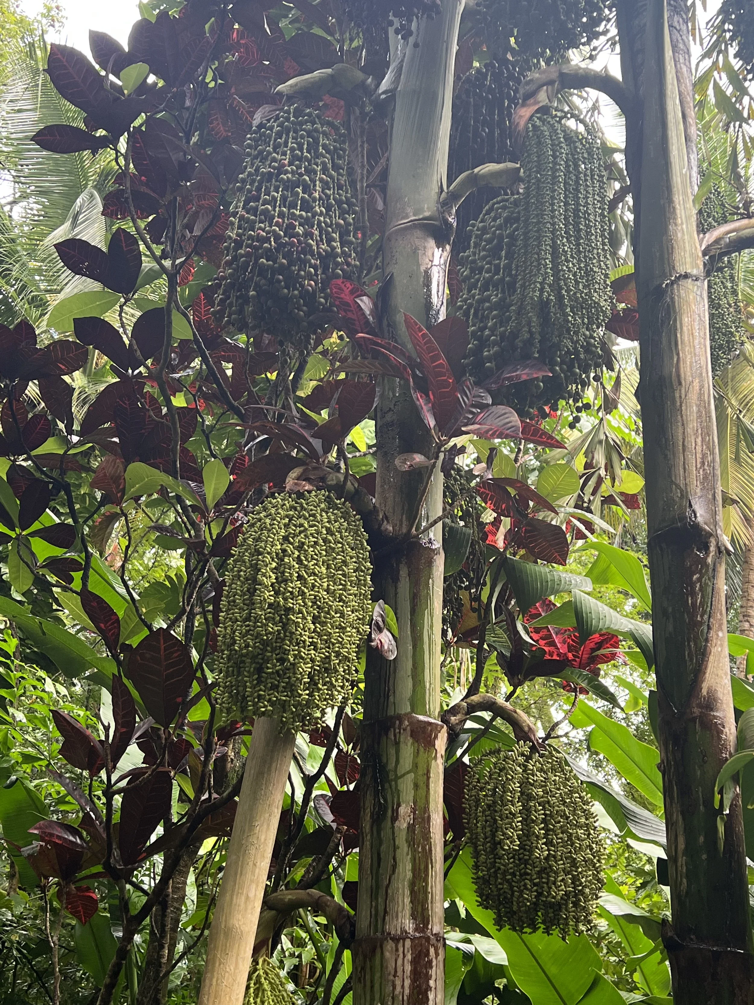
The following day we climbed the hill behind the village to visit the wonderful botanical garden, Jardin Botanique de Deshaies. In addition to the lovely native plantings, there was an aviary of lorikeets, flamingoes and lovely water features.
Botanical garden in Deshaies.
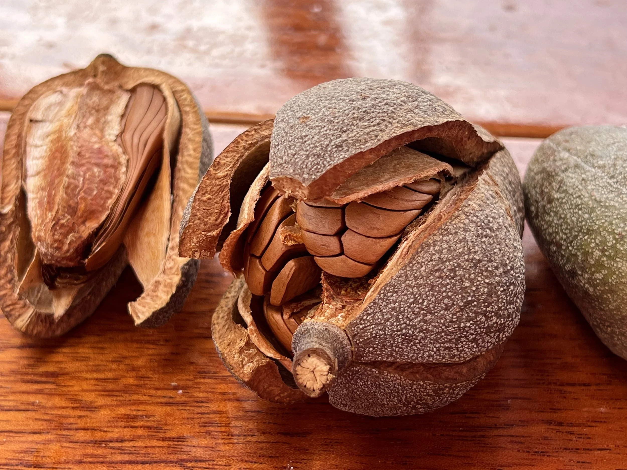
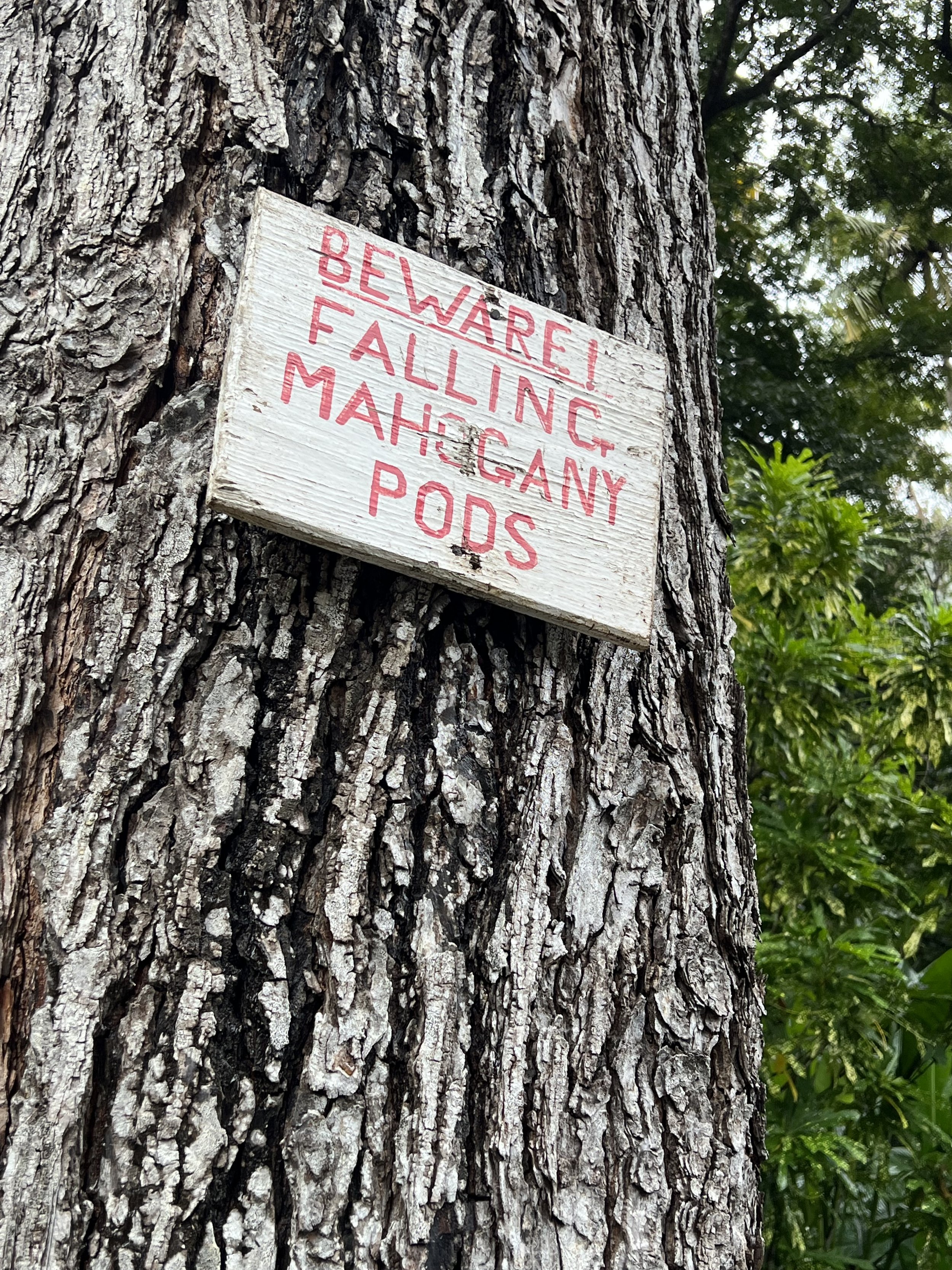
Mahogany seed pods.
At the end of February we popped in to the boutique store in Deshaies and logged on to the computer to check out of the French islands. We had to get to Antigua where we planned on leaving Helacious for a month while we went home to have a wedding. We had thoroughly enjoyed our cruising this season, many places we plan to return to and explore more.
Les Saintes, a treasure.
Sunset from Portsmouth harbor, Dominica.
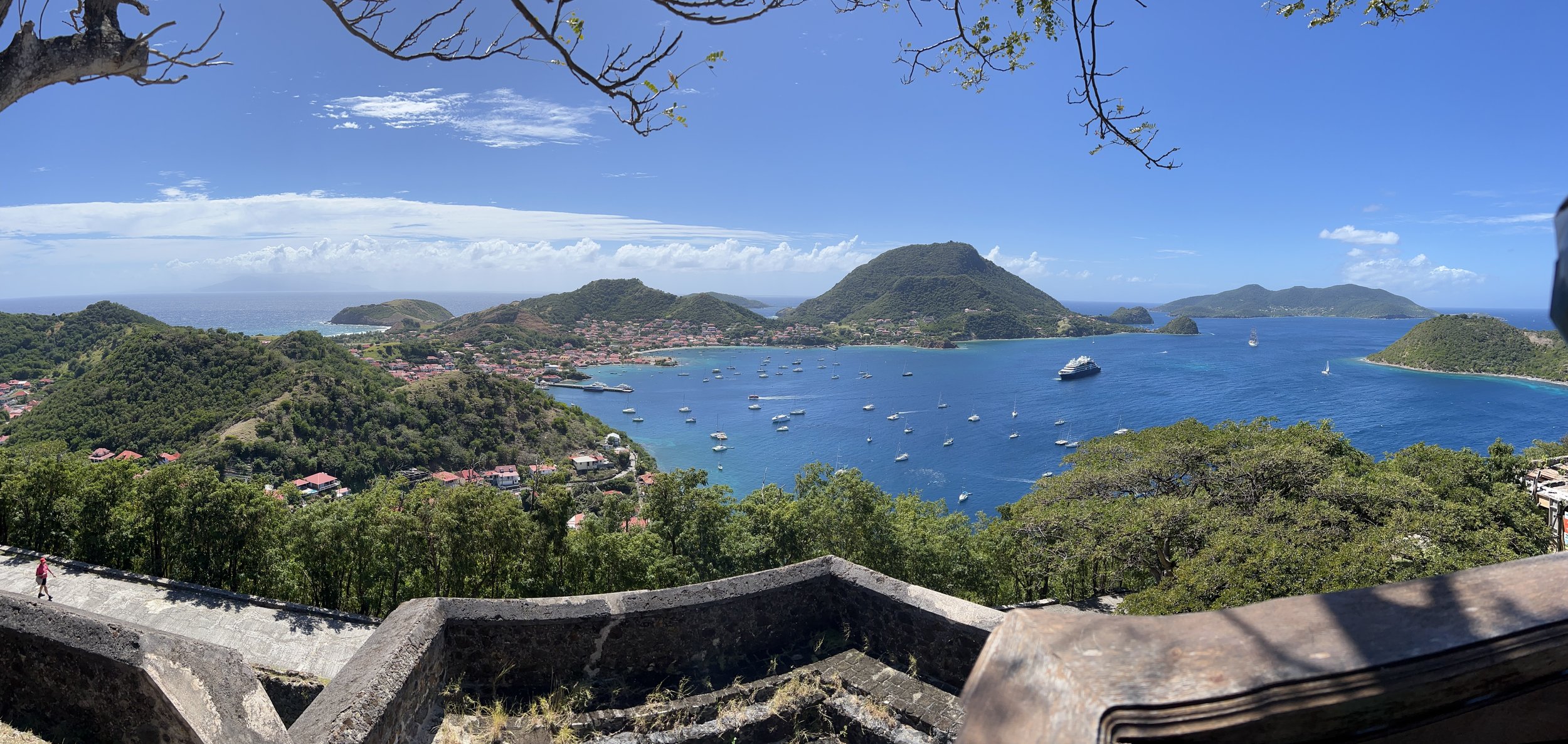
A couple of day sails north and we left the Windward islands behind us and entered the Leewards. We stopped overnight in Portsmouth Bay, Dominica and put up our Q flag, but as we did not land we sailed on the next day without checking in. Les Saintes are a cluster of small islands situated between Dominica to the south and Guadeloupe to the north. We arrived in the sheltered bay off Terre de Haut, Iles des Saintes and tied up to one of the highly sought after and hard to come by mooring balls, saved for us by good friends Lori and Dan on SV BeBe. Anchoring is not permitted in the bay, it is busy with ferry traffic, very deep and full of mooring balls. There are few spots and little room for a boat to swing at anchor. It also seems that since covid times there has been some disconnect with local officials and there is no-one in charge of collecting fees for the moorings, consequently we were able to stay here for 10 days, gratis.
The view from Helacious of Bourg des Saintes, the only town in Les Saintes.
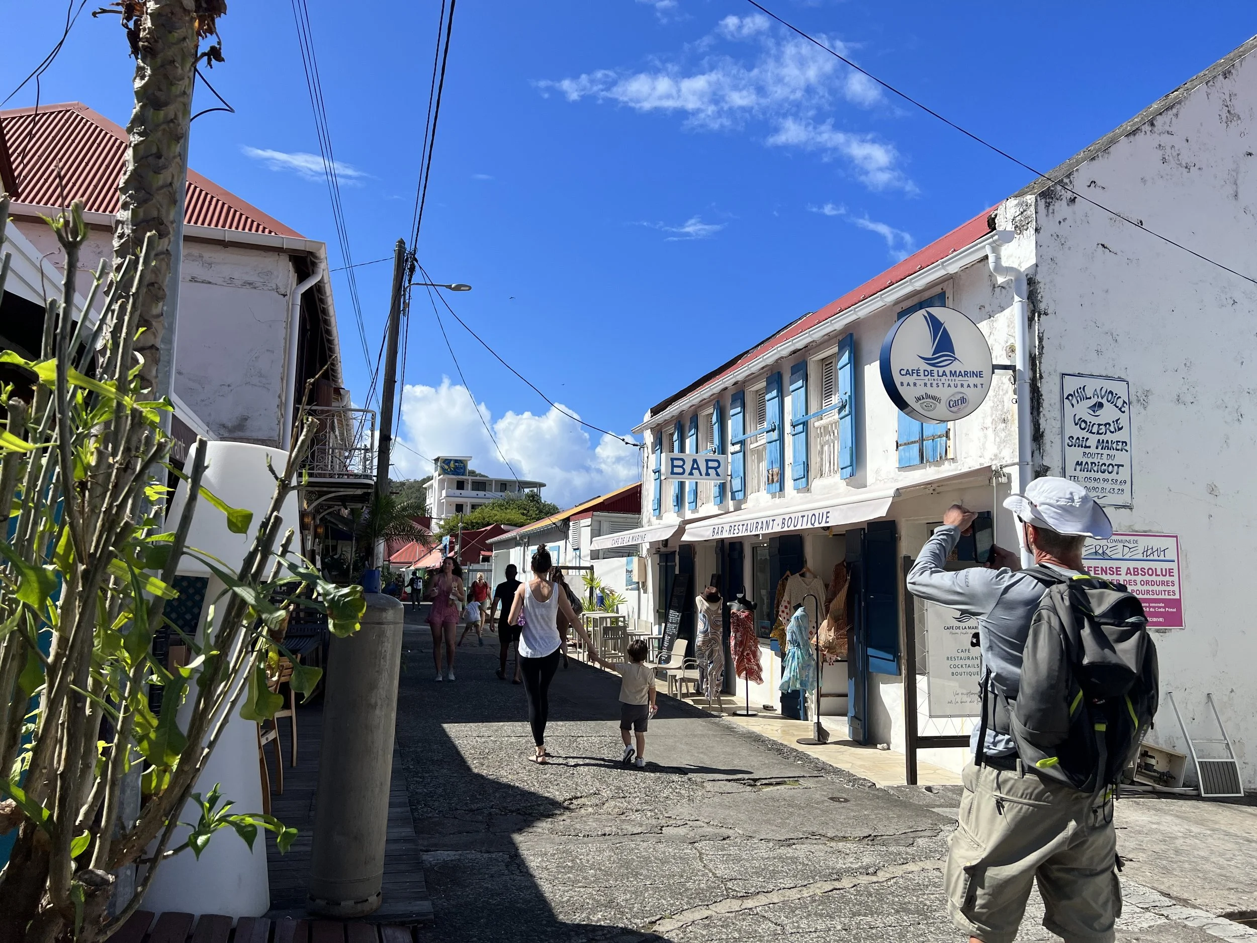
Iles des Saintes is part of Guadeloupe and a department of France. We could check in here and then check out later in Guadeloupe. Customs and immigration in the French islands is a lesson to all. A self serve computer terminal, in this case above a cafe, and a minimal 5Eu fee completes the process. A walk around town was very pleasant, the houses all well maintained. Business was obviously good with a steady stream of ferries bringing day guests from “mainland” Guadeloupe. With the crew of BeBe we visited Fort Napoleon overlooking the bay.
The view from Fort Napoleon.
The fort housed an eclectic museum with displays of colonial domestic life, flora and fauna of the islands, marine history and some rather alarming pictures of the native population and their diet.
I did enjoy this illustration with the ditty written below. I wish I had captured it all.
Baie de Pompierre
With Lori and Dan we walked over to Baie de Pompierre, hoping for a nice beach day. Unfortunately it was extremely windy and piles of sargassum weed choked the shore line. Instead we walked up along the ridge overlooking Baie du Marigot for some fine views. We were then rewarded for our efforts by a fine creole lunch.
The following day was still high winds precluding swimming or snorkeling, so we walked to the other side of the island and checked out the rhum punches there.
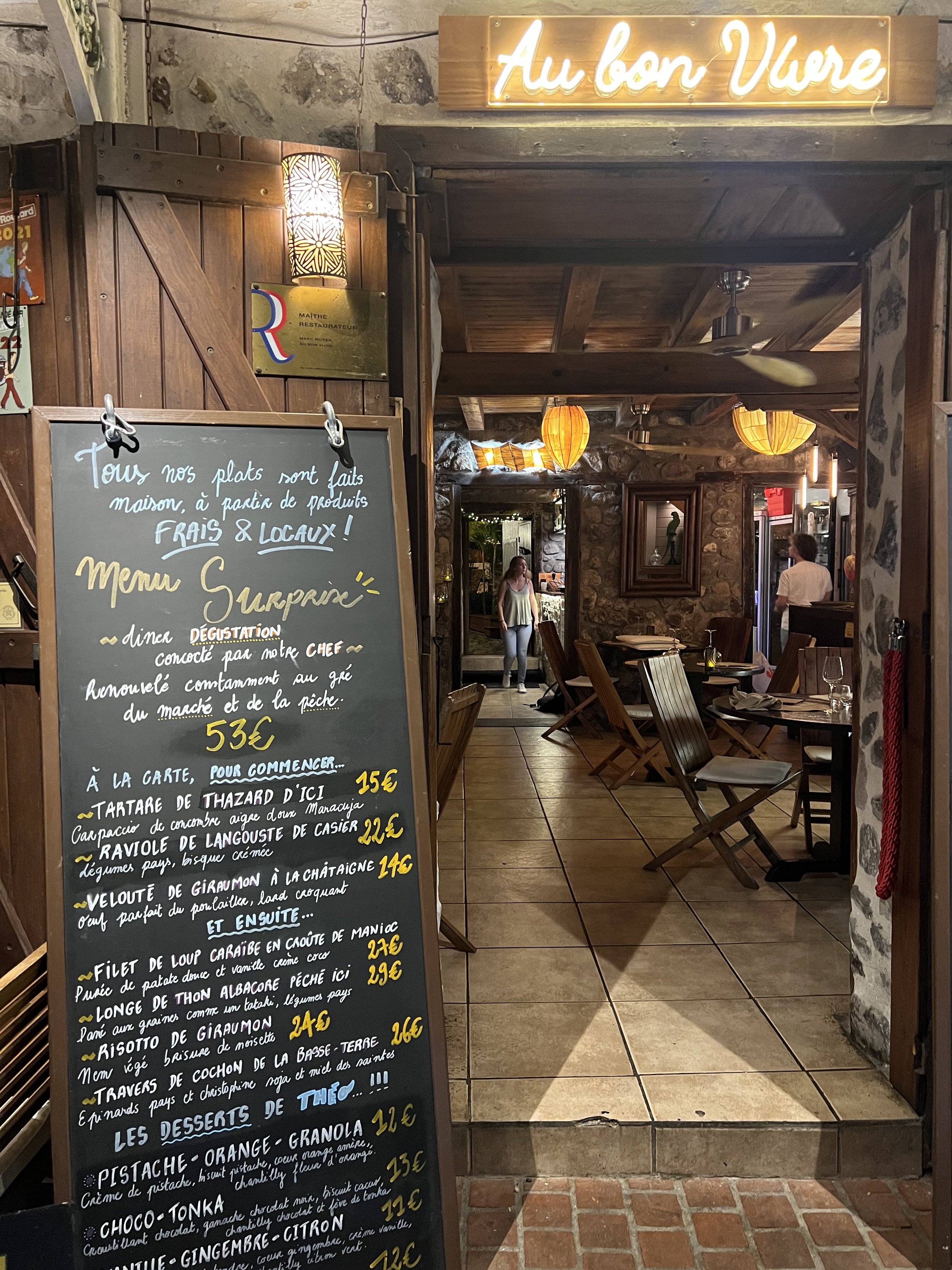
A treat. Menu Surprise was most delicious.
Life afloat is not all beaches, rhum punches and fine dining. There is work to be done. We had finally had enough of the Cape Horn self steering wind vane boondoggle that graced the swim platform on the back of our boat. It was in the way for using the platform easily and whenever we raised or lowered the dinghy it got caught on the steering oar and threatened to poke a hole in the dinghy. We had tried many times, with infinite adjustments to make it work, finally coming to the sad conclusion that Helacious is a big girl. Simply too heavy to be steered by this system in a reliable manner. It had to go.
Tree growing on a wall, Ilet à Cabrit.
One last trip in Iles des Saintes with the crew of SV BeBe and SV Miles2Go was to Ilet à Cabrit. The wind had died by now and we took the dinghies and snorkel gear over to the small island adjacent to Terre de Haut. Here the remains of Fort Josephine commanded fine views across to the main island.
We left the following day in the company of SV BeBe and sailed north to Guadeloupe.
Windward sailing: Martinique
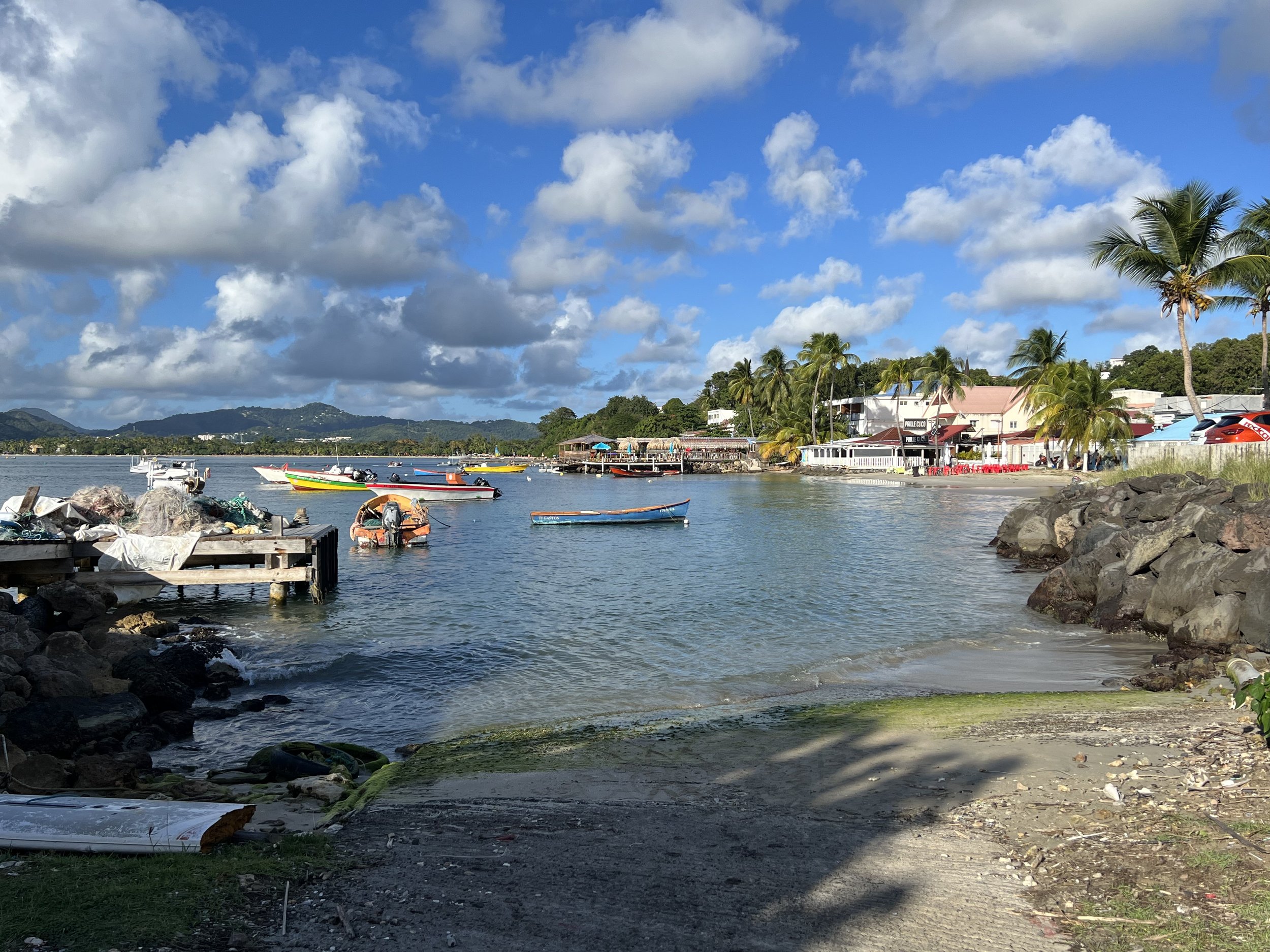
Fishing harbor at St Anne
The crossing from Bequia to Martinique took a couple of days, we stopped overnight in St Lucia and left early the next morning, no need to check in. Our first stop was St Anne, a small town with huge sandy bay, and correspondingly enormous number of anchored sailboats. It was the busiest place we had been for quite a while. Just a little further up into the bay is Marin, a larger town and with its huge marina, it is a center for boat work of all kinds.
We based ourselves in St Anne, but took the dinghy in to Marin to stock up on groceries at the much larger stores. It was such a treat to see cheese, pate and cheap wine again, it felt so very French. The fridge was once again full of goodies for us to enjoy. We introduced ourselves to Jenn and Mike on Sanitas via our mutual friends Lori and Dan on BeBe. They had been in St Anne for a while and knew some great hikes, so we went with them on the walk around the point to Grande Anse Salines, a beautiful and popular beach with many beach side restaurants. It was such a long beach however it did not feel at all crowded despite the many visitors. We had a lovely lunch and walk back on the sandy trail through mangroves and woodland.
We rented a car for a couple of days and explored inland. Martinique is the largest of the Windward islands and as the only safe harbors and anchorages are on the leeward side of the island, one could easily miss much of what there is to see. It is quite mountainous, the northernmost tip dominated by the peak of Mt Pelée. We drove up the east coast and visited our first true Rhum Agricole distillery. We selected Rhum Clément as they also have a wonderful sculpture garden in the grounds.
Sculpture at Clemont Rhum Distillery
On Martinique they are justifiably proud of their Rhum Agricole, that is spirit made from freshly pressed sugar cane as opposed to Rum, which is made from molasses (an industrial by product of sugar production). The land all around the site was full of sugar cane fields presumably supplying the raw material. We were looking forward to the tasting and tour, but first we enjoyed the art.
There was also an original sugar cane press, with three large drums for squeezing the cane, and you could see where the syrup flowed out. There were four large warehouses storing the barrels of rhum, each stacked in a different way, with quite an intoxicating aroma.
The tour was interesting, the grounds lovely. What was missing was any reference to the labor used to establish this very successful business. Martinique has a horrific record of slavery, approximately twice as many enslaved Africans went to Martinique and Guadeloupe as went to all of the US. It was not mentioned at all here at the distillery, nor throughout any of the places we visited on these islands. It seems blotted from the history books and is a lost opportunity to educate and learn from the past.
Map in the plantation house, 1783.
Back in St Anne’s we heard of a regatta that was about to start. It was a race with the traditional local sailing boats called yole. They are light, fast, shallow draught sailboats, hand made from wood about 10m long. They have two square sails hoisted up unstayed bamboo masts kept upright by a long line from the mast top and a crewman counterbalancing the sail. With no keel they are very unstable but extremely fast. Instead of the ballast usually found in the keel they have a crew of many large men who balance the boat by hanging on to poles that stretch out over the water. The boat is steered by a long oar off the back and tacking somehow involves the crew at the mast swinging around on a rope and the paddling of oars to help turn the boat around. It frequently does not go to plan and we saw more than one boat slowly sinking as it was towed back to the beach.
Yole sailing in the regatta with Diamond rock as a backdrop.
A couple of weeks passed very pleasantly in St Annes, catching up with old friends (SV Kalli) and making new friends (SV Zora, SV Razorbill and SV Sanitas). We left to continue north and explore some less busy anchorages up the coast. Diamond Rock is quite the landmark sitting off the southwest corner of Martinique. In 1804 it was commissioned into use by the Royal Navy, HMS Diamond Rock officially became a war sloop. Cannons were hauled up its steep sides to protect the southern shores of Martinique and the straits between St Lucia and Martinique from the French Navy. It was most effective for over a year but Napoleon was incensed and sent his Admiral to recapture the rock. Finally in May 1805 Diamond Rock returned to French control, and Martinique along with it.
Diamond Rock.
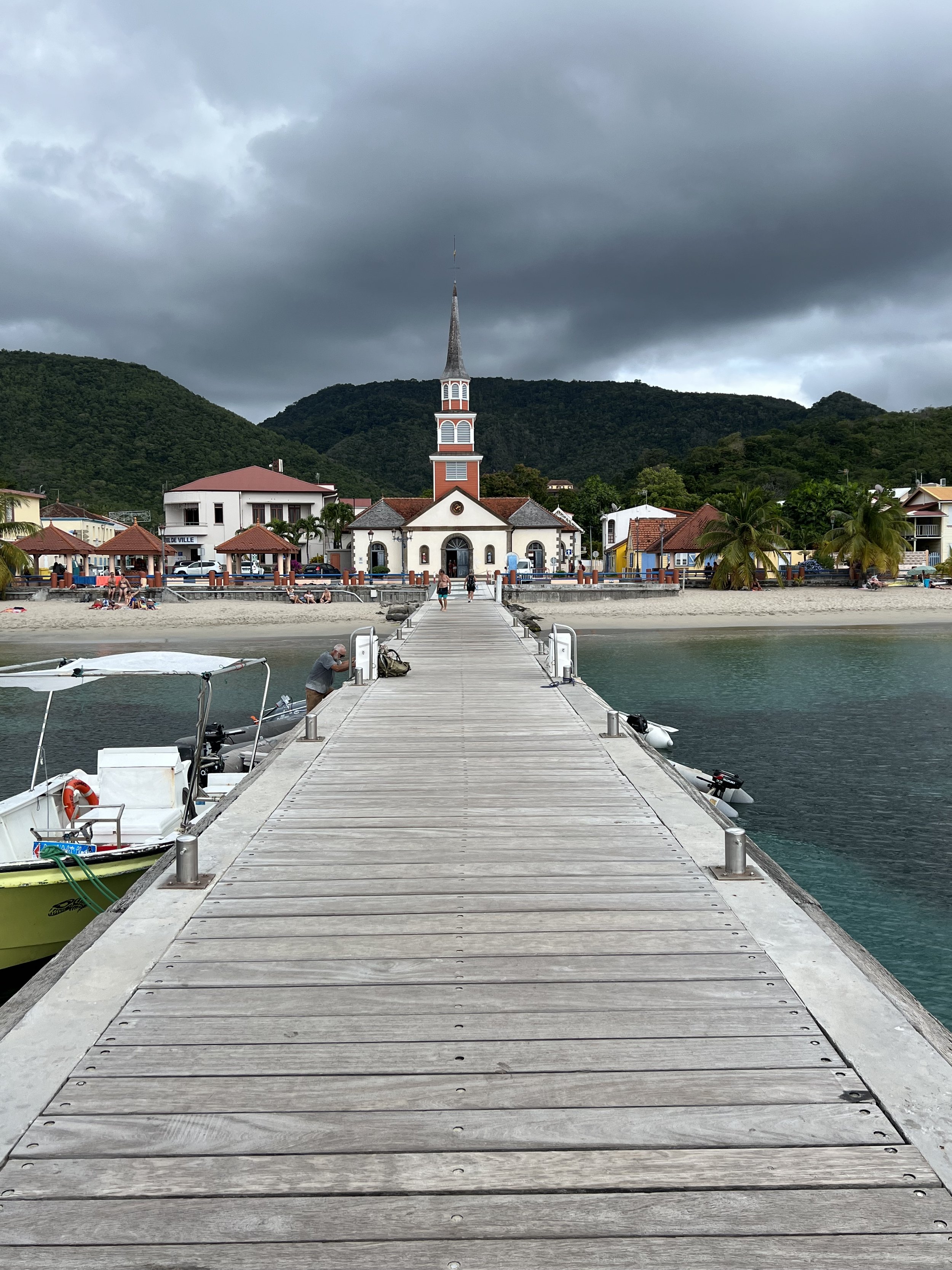
Our first stop was Les Anses d’Arlet with the most picturesque church at the head of the quay. We enjoyed the fresh croissant from the bakery in the morning, warm baguettes and a great hike over the headland to the next bay of Grand Anse d’Arlet.
Church in Les Anses d’Arlet.
We tucked in and out of a couple more bays, Grand Anse d’Arlet and Anse Dufour. Each time we checked out the snorkeling and what was onshore. In Anse Dufour we had a wonderful underwater encounter with a sea turtle, usually very shy, this one slowly swam away, teasing us to try and keep up.
Sea turtle, Anse Dufour.
The capital of Martinique is Fort de France. We looked at it from across the bay and it looked, well, like a city. Not appealing at all. We were not in need of any shopping trips, our supplies were well stocked, so we passed by and sailed on up to St Pierre, an interesting town near the north end of the island, and a port where we could check out of Martinique.
Mount Pelée looming over St Pierre.
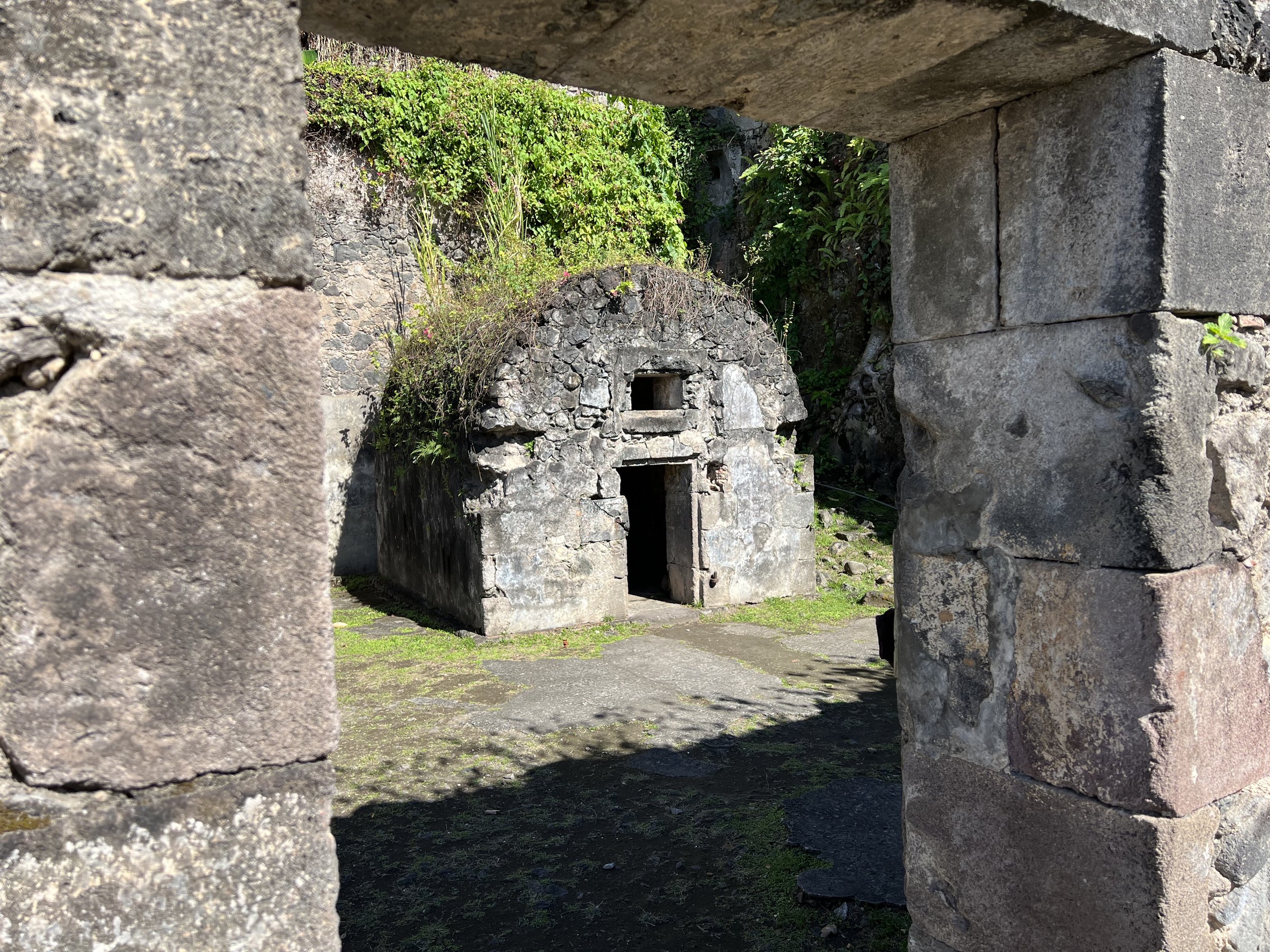
St Pierre has a very interesting history. In the late nineteenth century St Pierre was the Paris of the Caribbean. The wealth of all the sugar plantations was concentrated here and consequently it became the commercial and social center of the island. This all changed on May 8th 1902 when Mt Pelée, the volcano that loomed over the town, erupted in such a violent fashion the town was destroyed along with the 30,000 inhabitants. One survivor, Louis-Auguste Cyparis was a prisoner in a stone cell at the jail. We went to check it out.
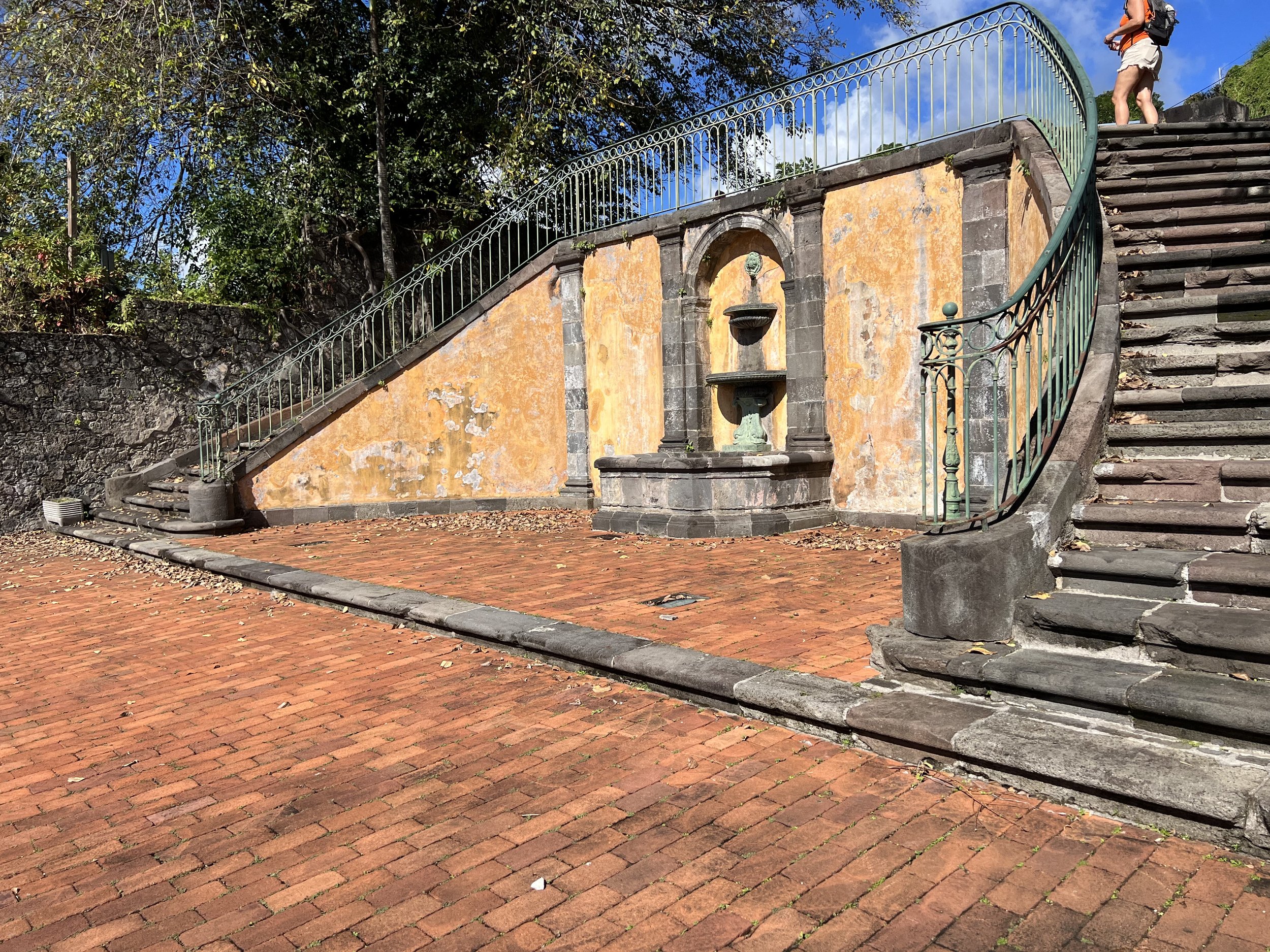
Evidence of buildings past were everywhere, many old walls incorporated into new structures. Grand staircases to nowhere and churches laid out like blueprints. Finally we got to the old prison site.
The isolation cell that saved Louis-Auguste Cyparis.
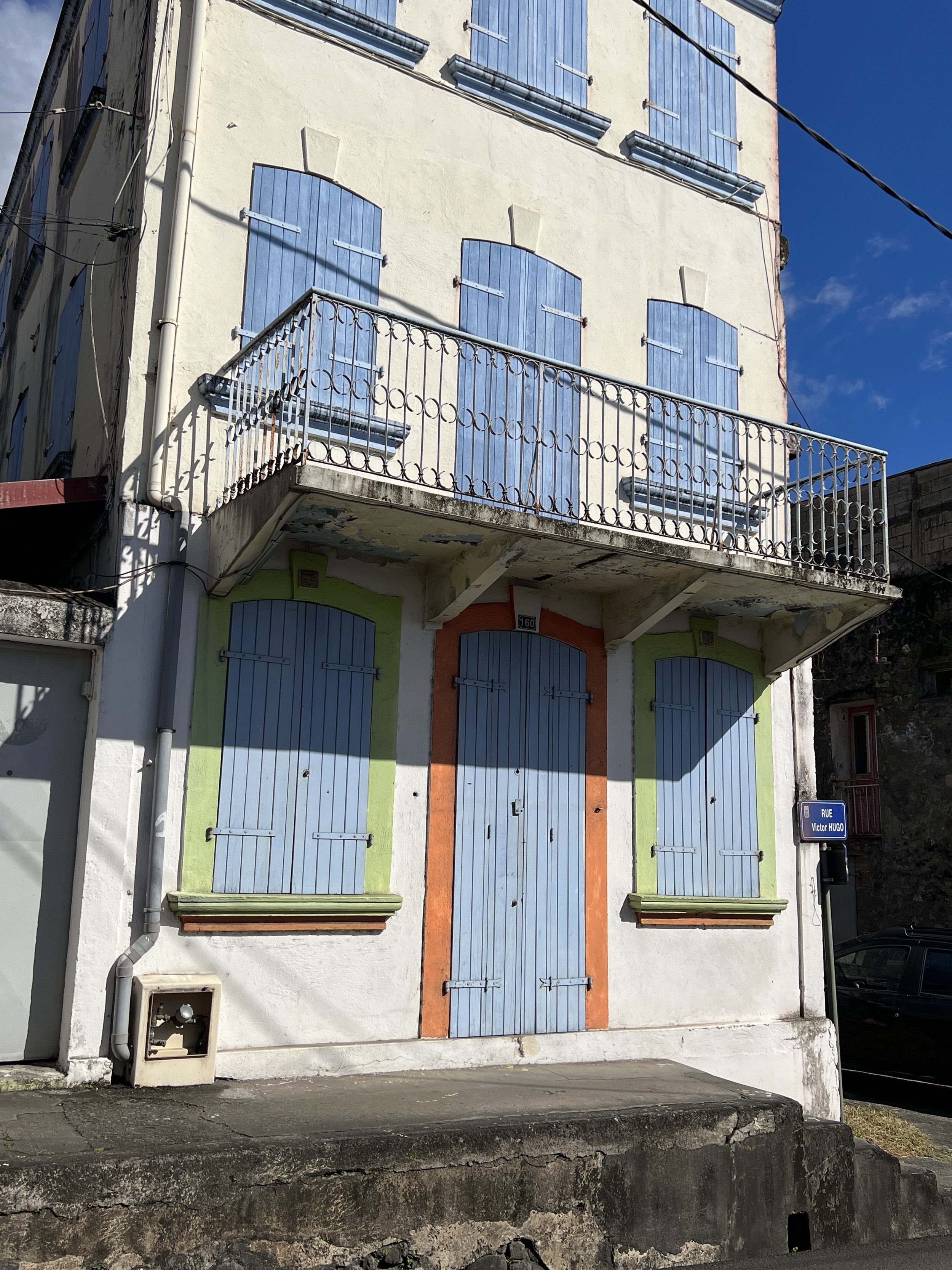
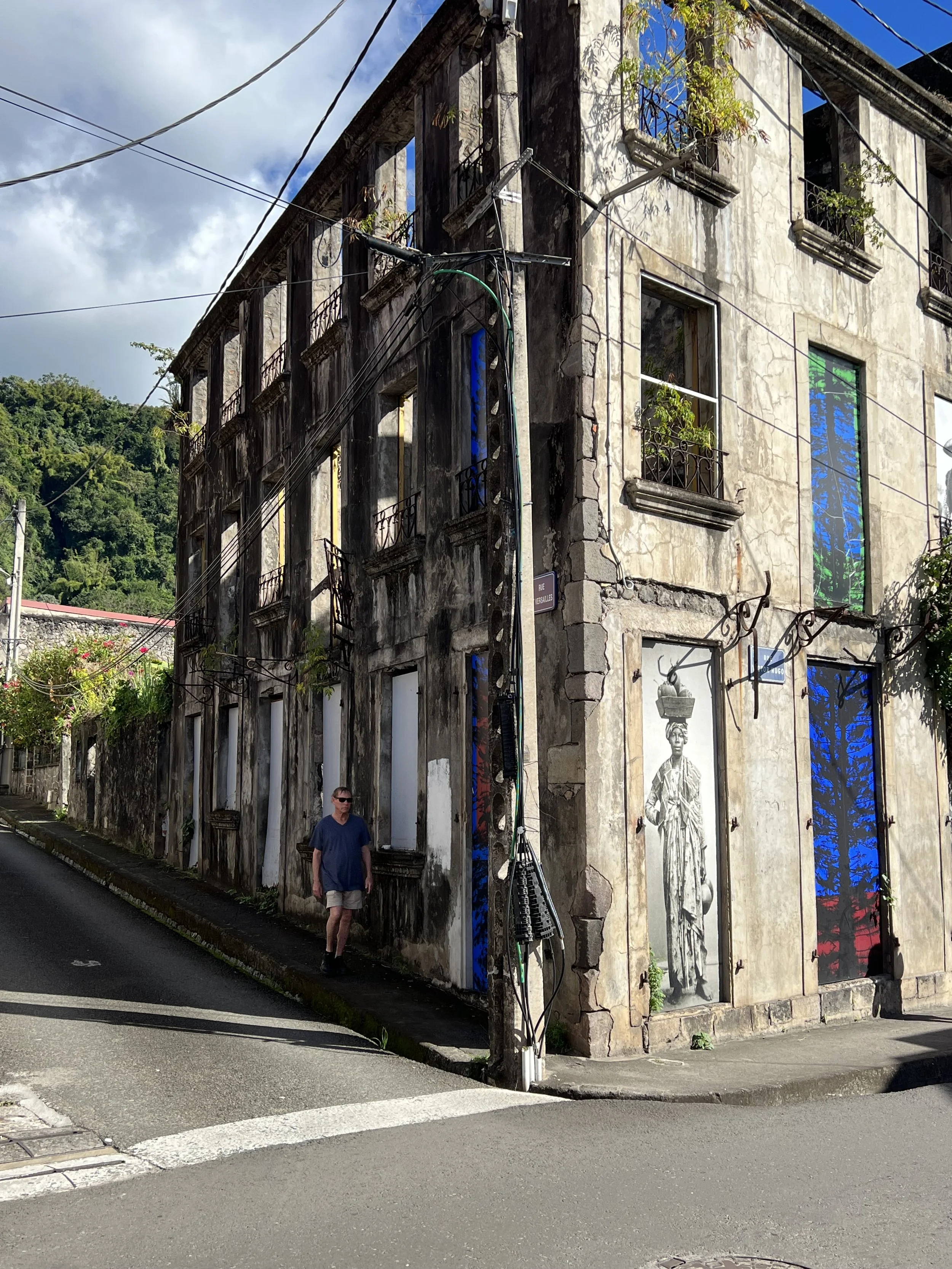
The non historical part of St Pierre felt very rundown. It was a shame as a lot of the abandoned buildings obviously had good bones, and were quite elegant in their day. If only the money and a will were there to fix things up.
We heard of a very interesting hike up in the hills behind St Pierre along the Canal de Beauregard. We caught the 8am bus from the town square and headed up into the hills. The canal was built to bring water from the hills down to the plantations nearer the coast. The scenery was so rugged and the drop offs so steep, one can only imagine the toll such a project must have taken.
Morning sun on the hills of Martinique.
The walk from where the bus dropped us down to the start of the hike took us through an area of homes with small holdings, corn, banana, dasheen and goats. We chatted with the dasheen farmer who was tending his patch. When we asked if we could photograph him, he whipped off his hat, shook his dreadlocks free and posed. What a character.
Dasheen farmer, Martinique
The trail along the canal began with a tunnel, so reminiscent of the Levadas in Madeira. We walked along the 18inch canal wall, water rushing by on our right, and occasionally overflowing the wall, tumbling down the steep hillside on our left. Our companion, a small dog that we had picked up as we walked by the small farms stayed with us for over half the way.
The overflowing walls were rather concerning as we imagined the undercutting of the centuries old construction. After a while however we came across a work crew who were clearing out the waterway of mud and debris, thereafter the flow was reduced and far less destructive.
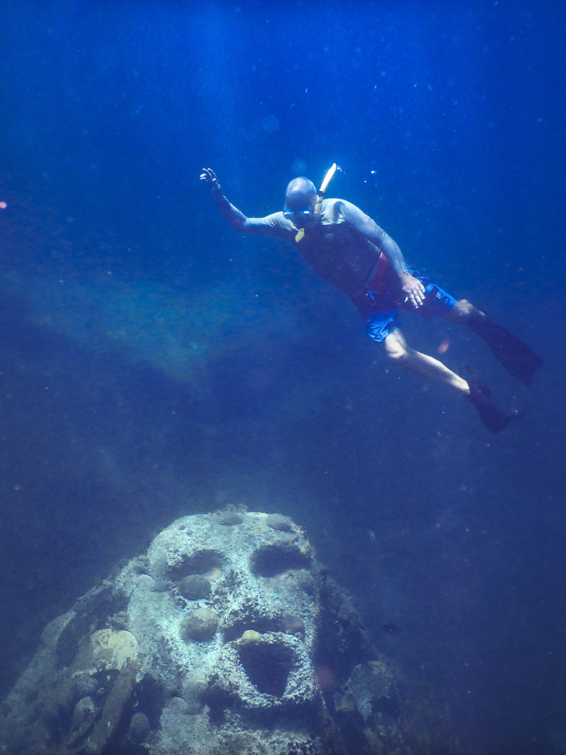
The final activity in Martinique was to locate and dive the underwater sculpture of Maman d’Lo. A siren buried in the sand in about 15 feet of water. We snorkelled over a couple of boat wrecks, also in shallow water, that were slowly becoming quite lively habitats. This was so good to see as much of the coral reefs we have visited are sick and noticeably less vital than even two years ago.
Maman d’Lo.
We left Martinique having thoroughly enjoyed our few weeks there. The support from France was obvious in the well maintained roads, ubiquitous boulangerie and well stocked grocery stores. The interior of the island we barely explored, plenty to look forward to when we return.
Windward sailing: Bequia
Admiralty Bay and Port Elizabeth, Bequia.
Admiralty Bay is huge so our arrival after dark was not too much of a problem. We anchored at the back of the pack, and moved to a better, more protected spot the next day. Port Elizabeth, at the head of the bay, is Bequia’s only town and stretches around the shoreline. It is just what you imagine all Caribbean island towns are like.
There is a lovely walkway that weaves along the beach, in places out over the water, linking restaurants, hotels and bars. The two beaches, Princess Margaret Beach and Lower Bay, were gorgeous, with lovely sand and the best snorkeling point between them.
Lower Bay, Bequia
Of course we had to climb to the highest point on the island….. it is what we do. In this case it is named Mount Peggy, and the views over the island were spectacular.
Panorama over Bequia from the summit of Mt Peggy.
Clambering down the other side we planned on having a well deserved lunch at a beach bar. However we arrived at a very upmarket resort and the price tag of over $30 for a hamburger sent us scurrying back to Port Elizabeth by taxi and a more modest lunch with a delicious cocktail as a treat.
Snorkeling off the west end of Princess Margaret Beach was the best we have seen in the Caribbean; octopus, sea eel, lots of lobster and many other fish. It was a very healthy reef.
Octopus trying to blend in.
Floating leaves.
A final sunset and it was time to move on. We were off to get cheese in the French Islands!
Windward sailing: St Lucia
So nice to be in warm water again.
The chain of Caribbean islands arcs from Puerto Rico down to the coast of Venezuela and has been divided into two groups by the British sailors of old. The southern and easternmost islands of Grenada, St Vincent, St Lucia and Martinique are collectively called The Windwards as one has to beat to windward to reach them. They are mountainous and lush with tropical rainforests covering volcanic slopes. Predominantly colonized by the British, Grenada, St Vincent and St Lucia, all now independent nations, have British traditions and English is the language spoken, while Martinique is still under French rule and decidedly French.
We arrived in St Lucia after our trans-Atlantic crossing, and moved into the marina for a couple of days. Having a dock to work on the broken whisker pole was useful and we could top up provisions for our Christmas guests. December 24th we sailed south to Soufriere Bay to meet them.
To be honest St Lucia was not on my list of “must see” islands. It has a reputation for being unsafe for cruisers, with robberies and harassment from boat boys making you think twice about visiting. In fact just a few days before we arrived in Soufriere Bay, a charter boat had been broken in to. We visited anyway, reasoning security was now likely at an all time high. Most thefts are crimes of opportunity; unlocked dinghies, companionways left open, easy access through unlocked hatches. Helacious however has a locking door, which we do lock, both at night when onboard and when absent from the boat. We always secure the dinghy when out and pull it up on davits at night. Our hatches are often open, however we have bars across that prevent anyone from gaining access into the boat, although we, as boat owners and builders, do know of ways to get out should we need to. We spent a week in Soufriere and had a wonderful time.
Jake arrived. As he was driving across island in the taxi Brian saw the readings on the electrical panel were not correct. We checked the batteries and to our horror, one appeared to be leaking sulphuric acid, and was therefore severely compromised. An emergency fix was to simply re-route the cables and take it out of the battery bank. We will deal with it later, we had guests arriving.
The following day Jakes friend Hamid arrived and we arranged a day out, hiking Petit Piton and waterfalls. Soufriere Bay is dominated by the Pitons, Petit Piton being the steepest rather than the smallest, and Gros Piton is fatter. We were picked up by Jaheel on his boat and taken to the beach where our guide, Nigel took over.
Petit Piton, activity for the day. Yes, we made it to the top.
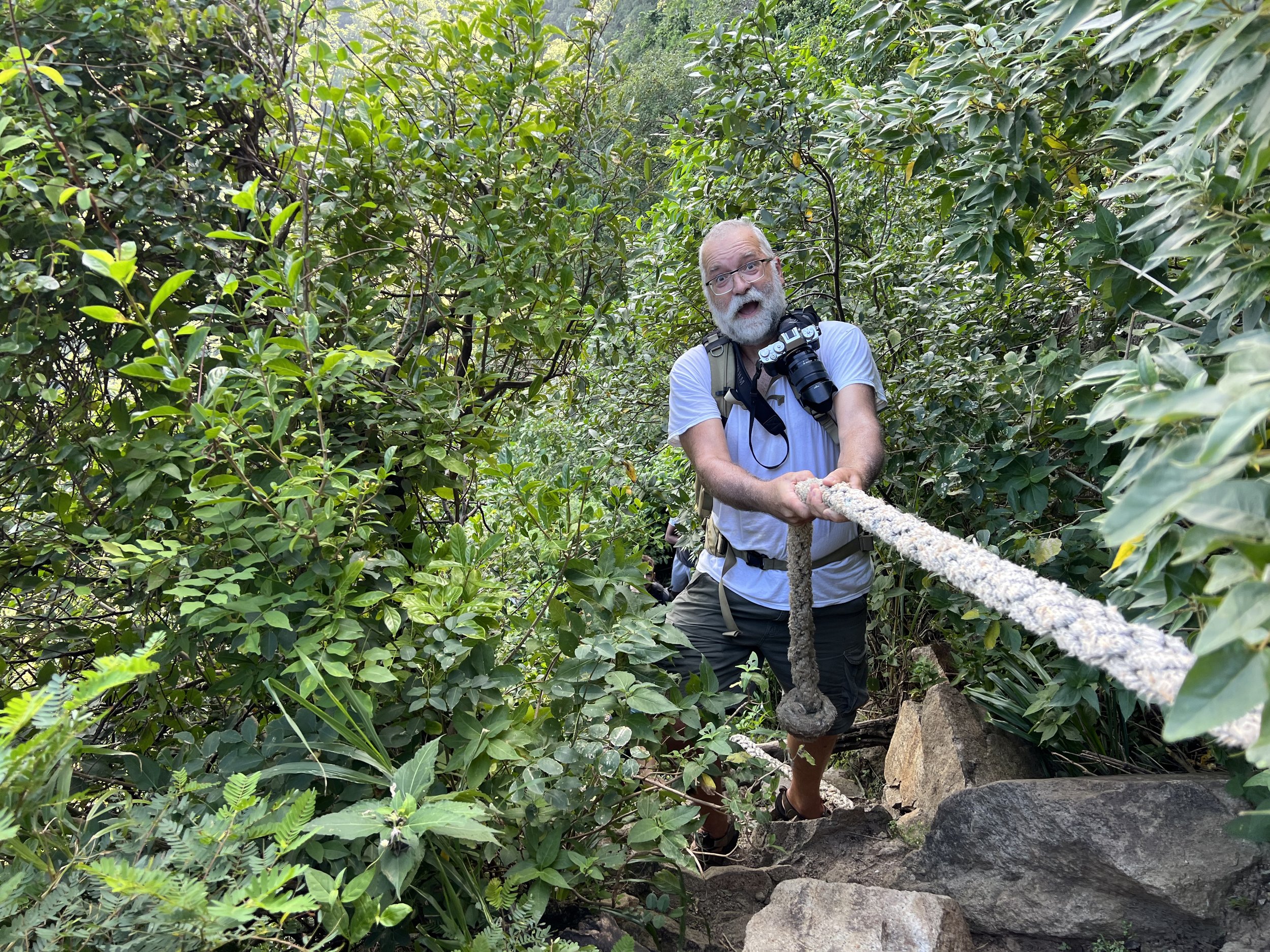
The hike was possibly the most extreme we have done. It not only involved a steep trail but also rock climbing, often with the aid of ropes in various states of decay. It was very challenging. The frequent stops to inspect bugs or flowers, maybe the view, allowed us all to catch our breath. The only person unfazed was Nigel, who completed the whole hike with bare feet.
Victorious. Now to get back down.
After the climb we cooled off in Sapphire waterfall, the long drop made for a pummeling massage.
Snorkeling from the boat is one of the treats of this lifestyle. Soufriere Bay had some lovely sites to explore. Jake took many of these photos.
We went sailing, we anchored next to Bat Cave, appropriately filled with bats and we waved farewell to Hamid.
Soufriere township is pretty rough around the edges. It does have a lovely botanical garden with hot springs, Diamond Baths and Gardens, which we thoroughly enjoyed.
Before we knew it, it was time to say goodbye.
We returned to Rodney Bay and tied up in the marina for a few days. We had the electrical issue and whisker pole to fix. We celebrated New Year in St Lucia and then set sail south, for the St Vincent island of Bequia.
Visiting Africa
A fishing boat off Cape Verdes
The crossing from Canaries to the Caribbean is usually about 25 days. The classic route is to sail south toward Cape Verde Islands until the east to west trade winds are reached, then you turn west and sail with the wind behind the whole way. It is generally considered a fairly easy crossing, as far as ocean passages go. As we left La Palma we had a weather forecast for about 5 days forward, you could maybe trust the first three days of that fairly confidently. We therefore left and sailed south with the distinct possibility that we may well check in to Mindelo, the main marina on Sào Vicente, Cape Verde should the weather forecast change.
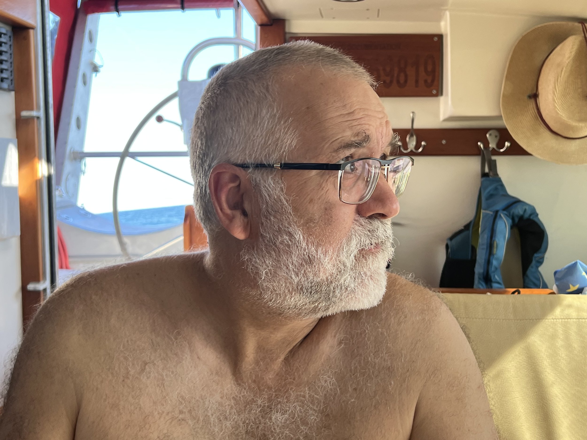
We started off in fairly strong winds, the ships log states >30kt with following seas of 7-8ft. As the week wore on the wind diminished and we could manage to put the fishing line out. This is not something we do in high winds as the practical aspect of actually landing and dealing with a fish while sailing hard is a terrifying thought. By the 6th day of passage however the wind had died and we were motoring toward Mindelo when Brian managed to land a very decent sized Mahi Mahi. He also got a haircut.
The weather forecast indicated there was likely to be no wind for about a week. We are a sailboat: we carry fuel, maybe enough for about 7 days motoring, but we prefer to sail. To continue with a forecast of no wind for a week was not an option, so we pulled in to Mindelo and tied up in the marina. Approaching the island we passed a fishing boat, quite different to the boats we had seen in Europe, much less substantial with about 12 crew on deck or hanging in the rigging. The island was incredibly arid with what looked like a mini desert and sand dunes.
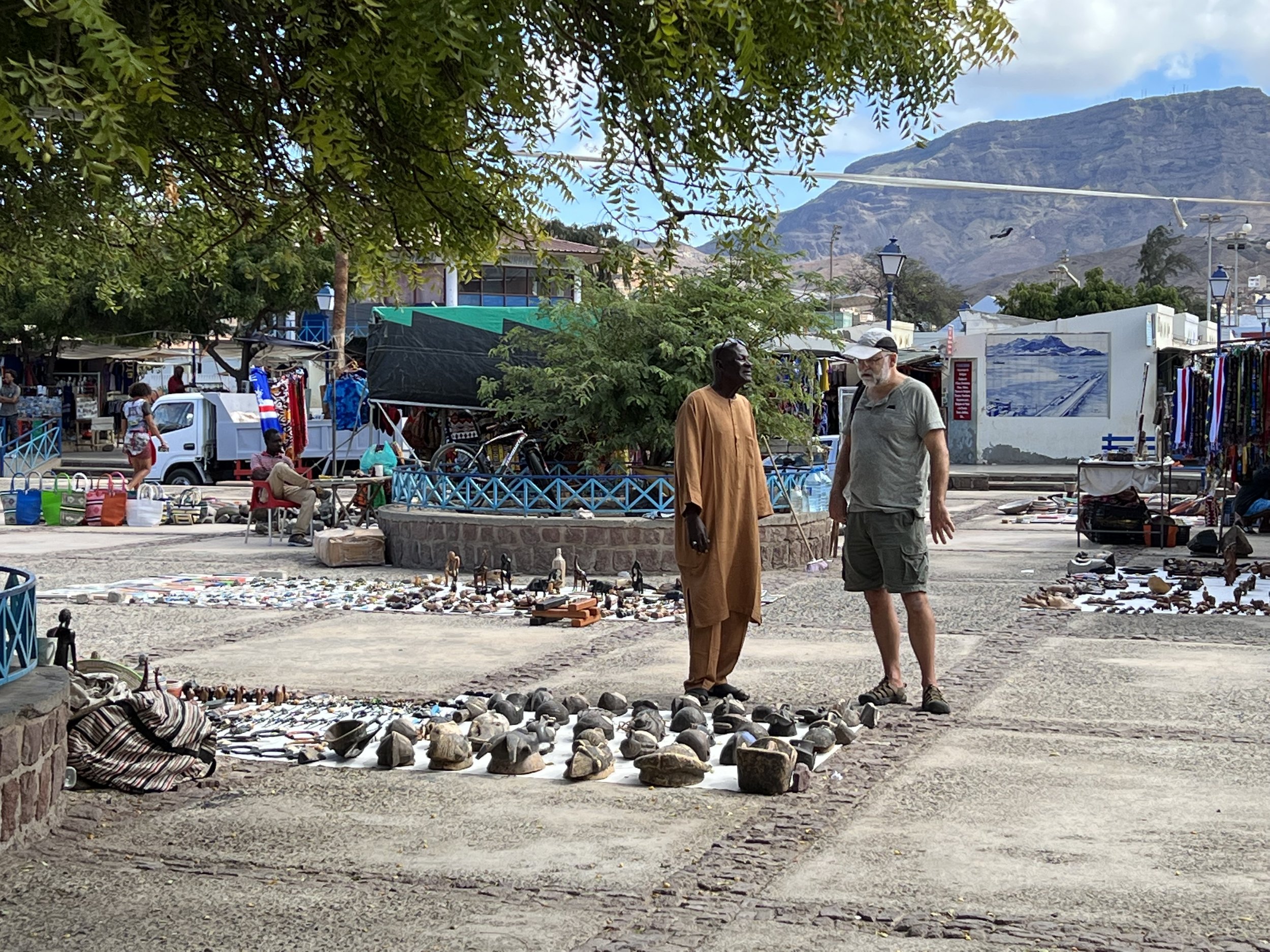
We paid for 50L water (water rationing, that was new), just enough to wash the salt off the boat, and took a look around. It felt quite different, we were definitely not in Europe anymore. The fishing boat trolling through the marina, a fisherman in the water to help bring the nets in. The same fish then scraped and gutted on the beach to sell in the fish market. The market in the center of town, open air with goods displayed on the ground. A large second hand clothing stall selling clothes discarded by western folk and brought to the market in their shipping barrels.
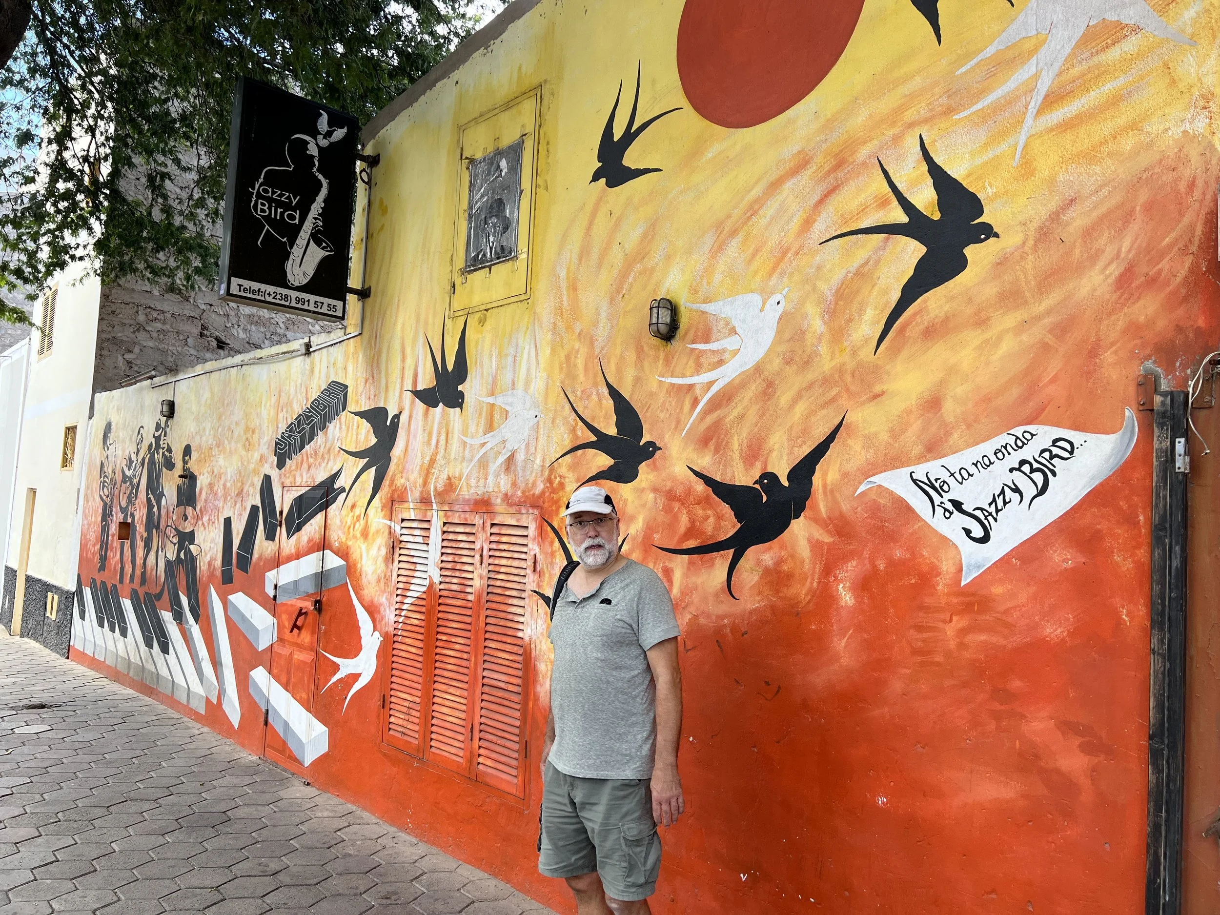
The food in the market stalls was fresher than that found in the grocery store, but with very limited selection. We were glad we had provisioned thoroughly in La Palma and were only planning to stay in Mindelo for 3 or 4 days. We walked around town, enjoying the murals celebrating the rich music culture here, and we had lunch out at a local restaurant, not understanding the menu at all, we ended up with fish soup and BBQ chicken.
Checking out the tourist shops, we found some delightful and well crafted baskets and fabrics, jewelry and carvings. However on a sailboat a smaller souvenir is preferred, we selected this little guy, a collage made of fabric, bamboo and wood celebrating the music traditions….. perfect.
Remember, we were on a schedule, the sailors curse, to get to St Lucia in time for Christmas. We had delayed 3 days, it was time to go. The forecast was not perfect, motoring the first 3 days, but then it looked good and settled for the remainder of the crossing. We left Mindelo, our interest piqued enough to consider returning to explore more, some other time. But now we had an ocean to cross.
Farewell drink with fellow Cruising Association sailors from Wychcraft and Timeless Odyssey before departure.
Heading west, into the sunset.
The first 3 days were little or no wind, certainly not enough to sail with. It had been calm for over a week and as a result the water was crystal clear so when we were visited by this pod of dolphin we got the most amazing and clearest photos. Check out the video of them underwater with the “reflection” against the water surface.
The rest of the 16 day passage was relatively uneventful, the best kind. After the first three cloudy days the wind picked up and the sun came out. We set the two head sails, the genoa and code zero, one on either side, poled out with whisker pole or the boom of the mainsail. We kept this configuration for 5 days as the wind increased. It was behind us so we just went faster. We put out the fishing lines and were treated to some of Neptunes bounty, a Wahoo and Mahi Mahi plus these smaller fish that we threw back as we did not know what they were. It turns out they would have made a fine meal being some sort of Jack fish.
We saw a few cargo ships or tankers in the distance, and one sailboat, Curly. We called them on the radio to chat about conditions and heard they had got caught in a mat of Sargassum weed. They had to start their engine as it had slowed them down so much. We saw the weed ourselves, but not enough to bring Helacious to a standstill.
On day 8 Brian caught a huge Mahi-Mahi, measured at 48” tip to tail. Landing the fish was a challenge, good job Helen was there to give lots of advise! We were lucky no-one lost a finger nor was impaled on a stray fishing hook. The 10lb of fillets filled the freezer and we put the fishing gear away.
Day 12 we had the main and genoa fully out. At 7am there was a crash and the genoa started flailing around. The extendable whisker pole had collapsed, an internal line that holds it out had chafed through. We (Brian) secured it to the unextended length, we reefed in the genoa and continued on our way. Fortunately no damage was done to the rest of the boat as the pole and sail swung around. As the wind increased again to 30kt, it was good to have the sails reefed. The constant rolling of the boat was wearing; it is a different motion to that when sailing with the wind on the beam. You are more vulnerable to the motion of the waves passing under the hull, and as a result there is never a time when you are not bracing yourself, even to sit and read, or lie down. It gets exhausting.
As we approached Caribbean waters squalls began to pop up around us. We could see dark clouds reaching down to the horizon, and the tell tale signature on the radar screen. We were tired and ready to reach land. On the morning of the 16th day, December 22nd at 2am, we sailed into Rodney Bay, St Lucia and dropped anchor. We slept soundly after a quick anchor dram of Norwegian Aquavit to celebrate a safe passage. What a year, sailing from the Arctic Circle to Caribbean waters.
Observations on La Palma
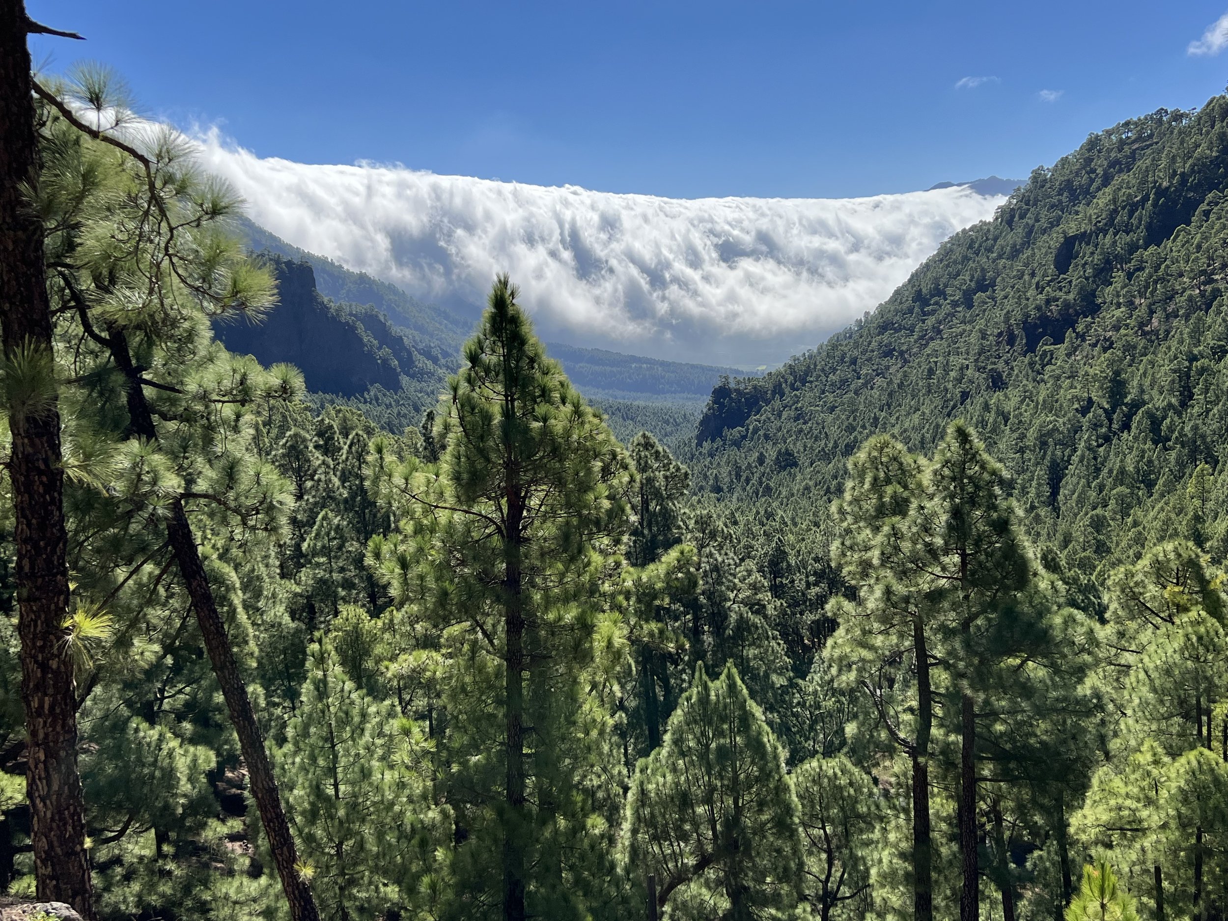
Clouds spilling into the Caldera de Taburiente.
The Canaries are an archipelago of seven volcanic islands. Due to time constraints we decided to pick just one to visit, to explore it properly and leave the others such as Tenerife, Lanzarote and Grand Canaria for another time. We picked a good one, La Palma. The westernmost island, it is the most mountainous of the Canaries, and the greenest. The crossing from Madeira took two and a half days. We called the marina office in Santa Cruz de La Palma to gain entrance through the sea gate into the marina itself. The gate was installed to try and control the huge swell that sweeps around the harbor wall and up to the marina at the head of the bay. It only partially works, as we snapped back and forth on our lines, especially when the ferry came in. However I am sure it is a big improvement on the situation before the gate was there.
Marina La Palma.
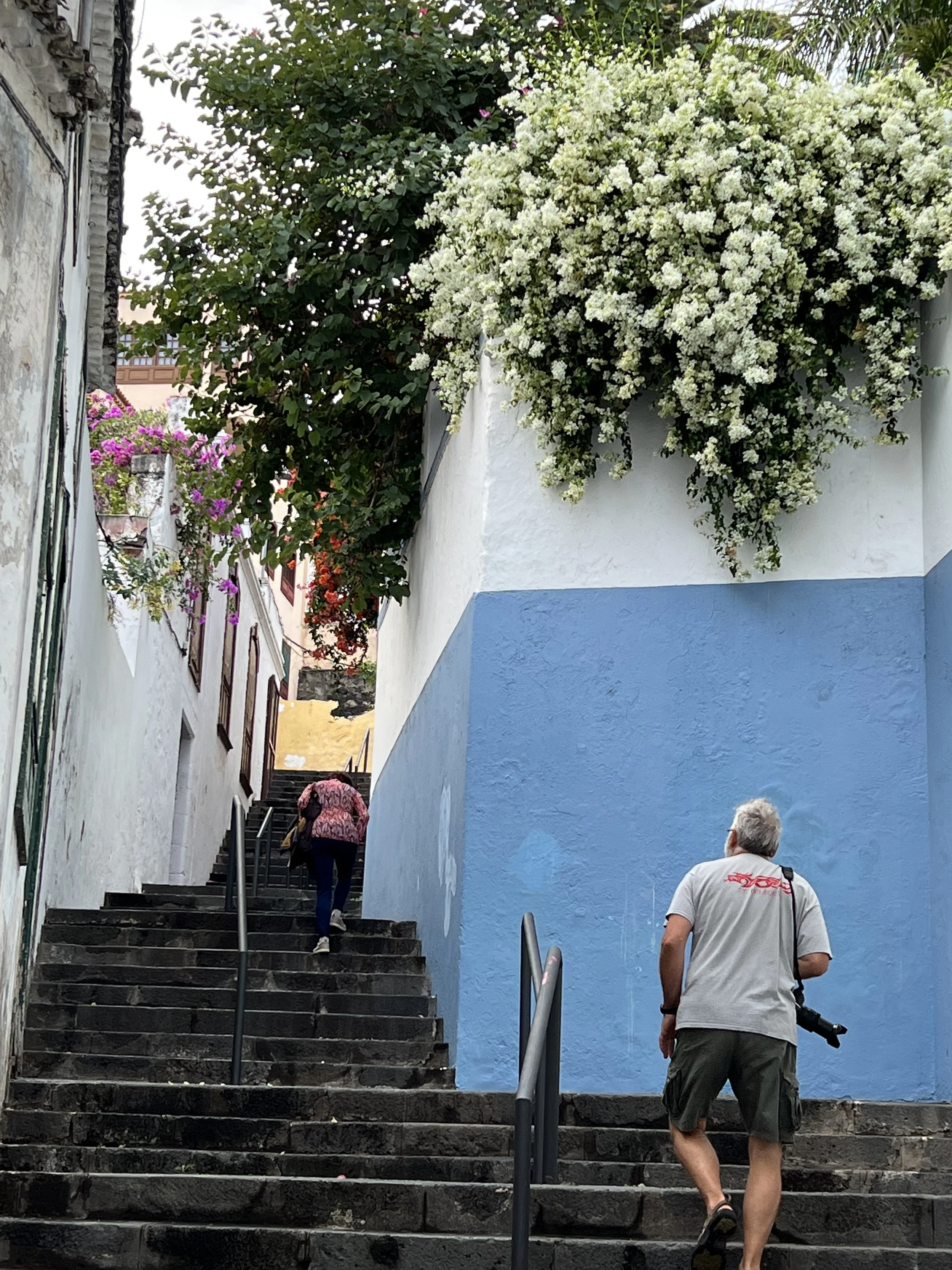
We wandered around town to check out the lay of the land. Where were the grocery stores.? How well stocked were they? Were they within walking distance of the marina? We got good results on all the above, so provisioning here for our trans-Atlantic crossing was going to be relatively straightforward. It was interesting watching the Christmas lights going up, strung between buildings and palm trees. Santa Cruz is the capital of La Palma and the old buildings and narrow streets stretched away from the coast and up the steep hillsides.
We found a trail that led up one of the steep ravines and overlooked the town. The path was a little tenuous at times, but we persevered and had a fine afternoon. The houses clinging to steep hillsides, the grassy valley on the way down, as always the varied and novel flora made the hike very interesting.
The goat farm at the end of the hike was unexpected, especially when the farmer opened the gate for them to run down the hill to the barn for feeding time.
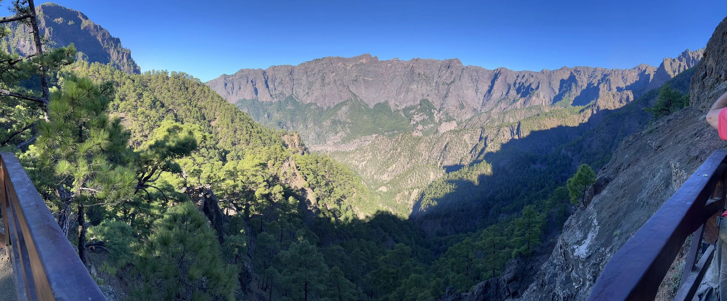
We rented a car for a couple of days to explore the rest of the island. The first day we reserved our parking spot at La Caldera de Taburiente. There were only 10 spots available and so reservations were essential to visit the crater of the extinct volcano at the center of the island. The perfect time to visit it is the morning. As the day heats up the clouds roll in from the ocean and spill over the rim of the caldera. Presumably making good views in the afternoon a little harder to enjoy. The encroaching clouds were an amazing feature in their own right.
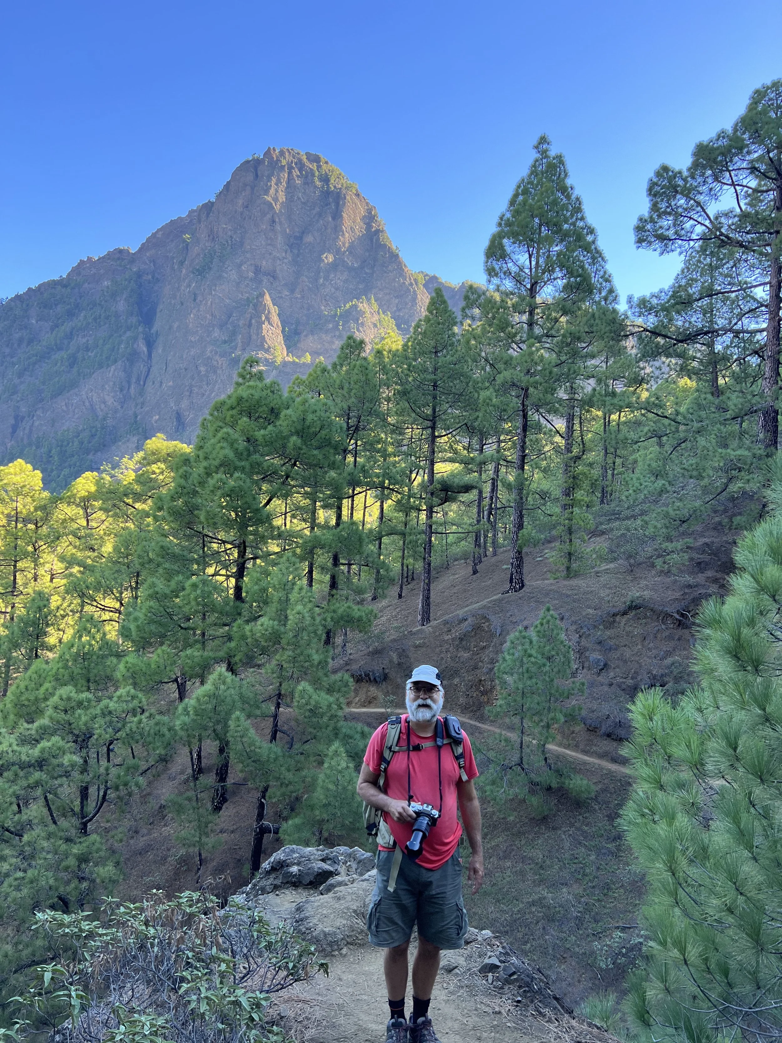
We parked the car and took a trail down into the crater through a beautiful pine forest with amazing views looking back up to the rim.
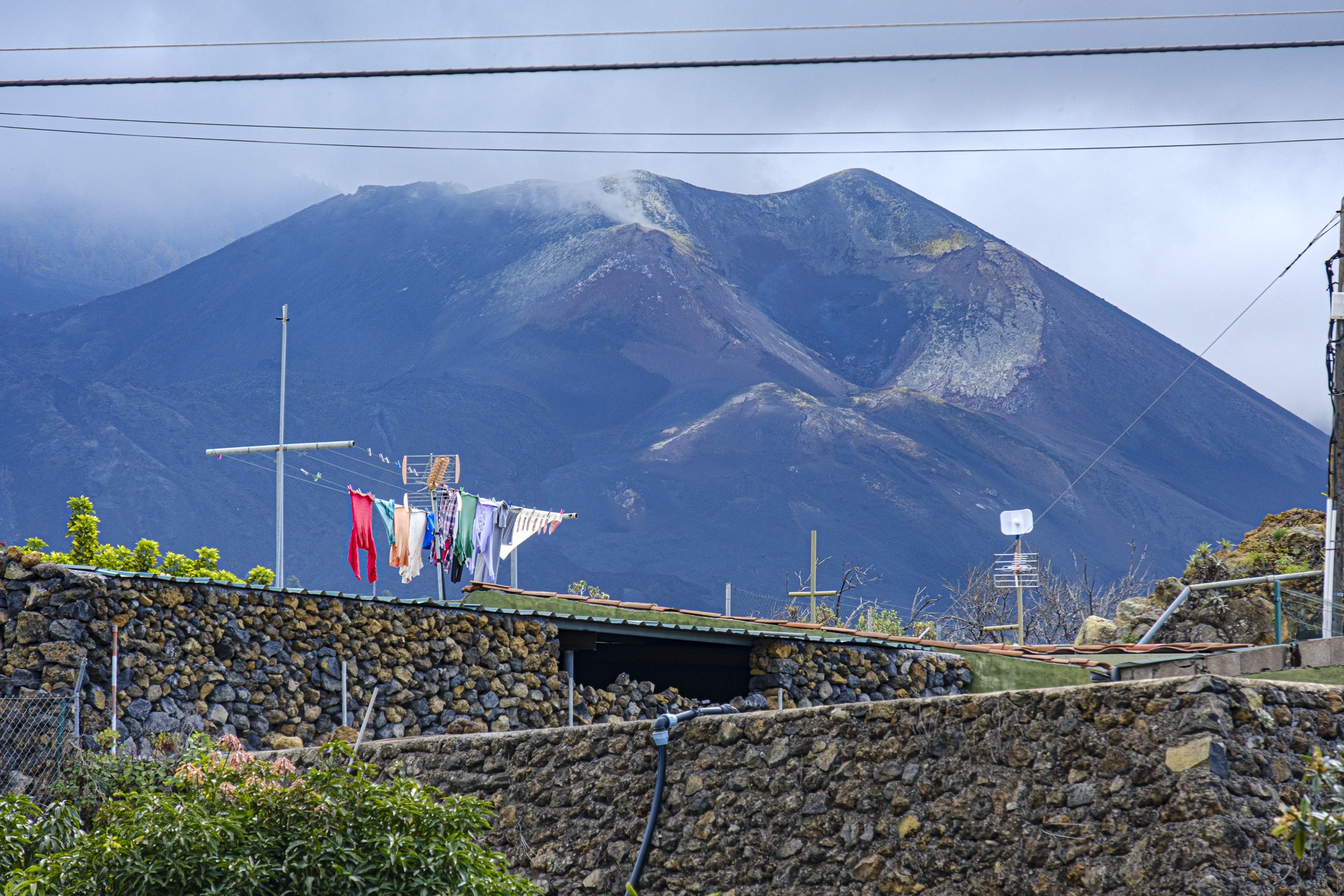
We went in search of lunch and then explored the west coast of the island. On September 19 2021 there was a volcanic eruption from the ridge on the west coast of the island that lasted 85 days. It destroyed over 3,000 buildings and the coastal highway, wiping out the town of Todoque and creating a new peninsula, jutting out into the ocean.
Volcano Tajogaite, still smoldering.
The highway had only recently been reopened, and its construction was still a work in progress. There were signs warning of poisonous gases and indicating stopping for a view was not an option.
Looking back across the lava field
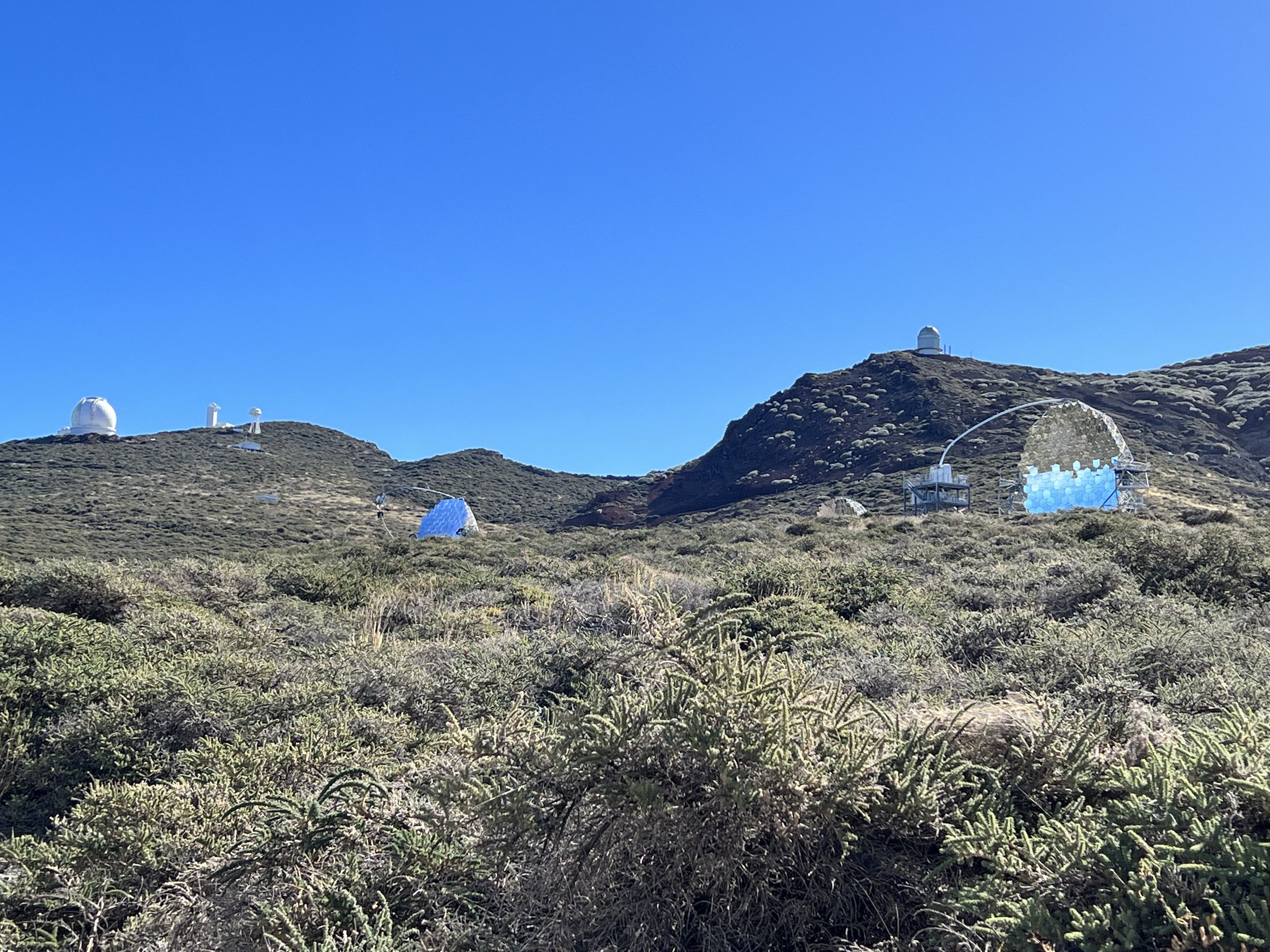
The highest point on La Palma is Roque de los Muchachos which rises 2,422m above sea level. The air is so clean and free from both chemical and light pollution that it is a center for astronomical observations with as many as twenty observatories belonging to many different nations.
The drive up to this point was wonderful as we climbed we looked back toward Tenerife to see Pico de Teide rising high above the clouds.
Pico de Teide on Tenerife.
In reference to that last photo…. no we didn’t!
Upon reaching the summit we found the observatories scattered along the rim of the crater that we had visited the previous day. The MAGIC Telescopes observing gamma rays from galactic and extra galactic sources were really cool.
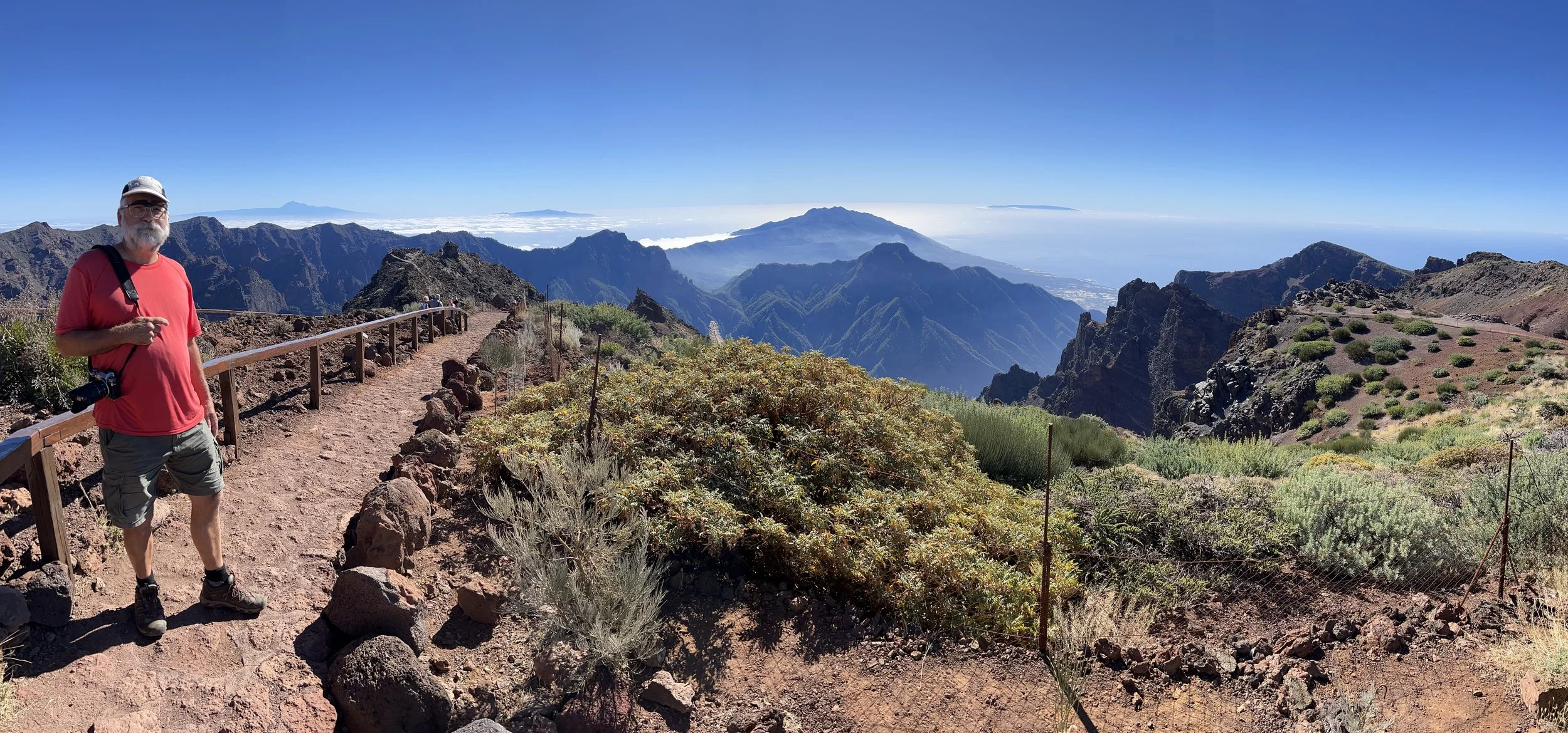
Brian walking out to the viewpoint Roque de la Muchachos.
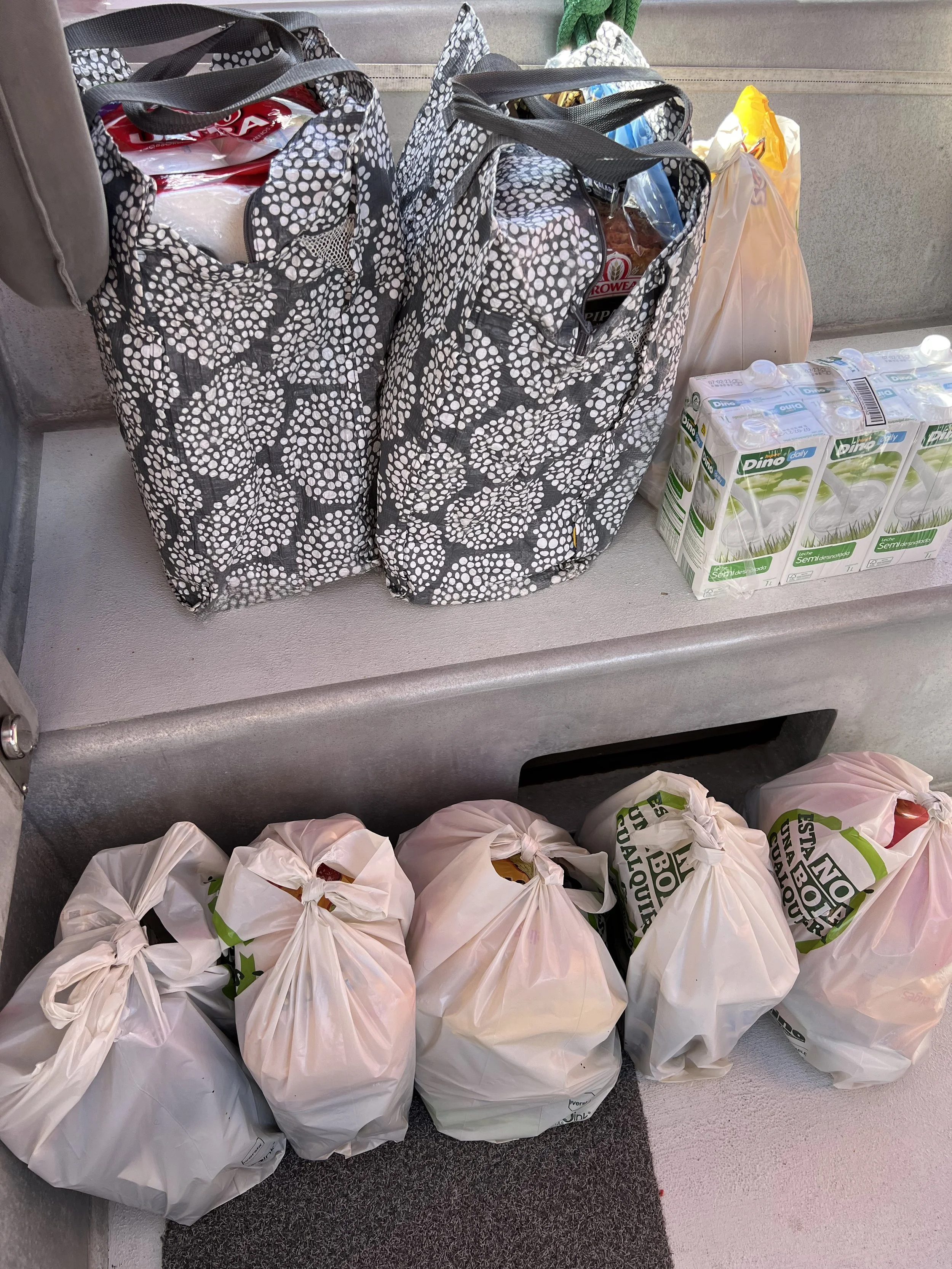
Time was slipping away. We needed to get ready for the trans Atlantic crossing. Making sure all systems on the boat are operational and in good repair. A fully stocked fridge and freezer with supplies to last us for the passage and for months in the Caribbean. We know from our previous visit that provisions are somewhat limited in the small Caribbean nations.
Once we had everything loaded, we checked the weather and calendar. It was not the best forecast, but we had to go, we had a date in St Lucia, meeting Jake for Christmas. We checked out of Europe and headed south, hoping to pick up the trade winds near Cape Verde Islands.
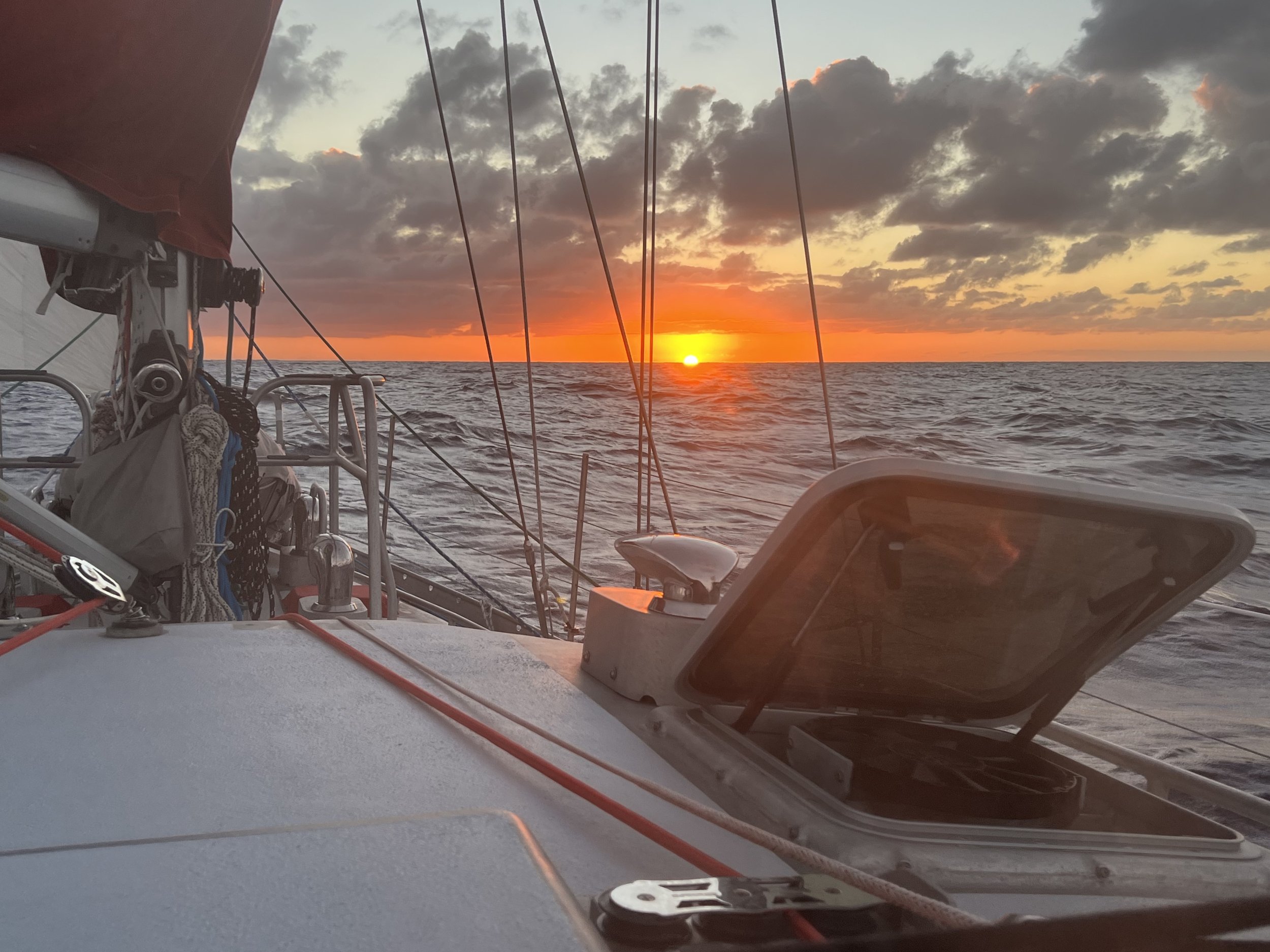
Sunset, first night at sea.
Above the clouds.
Pico do Areeiro, mountainous central Madeira.
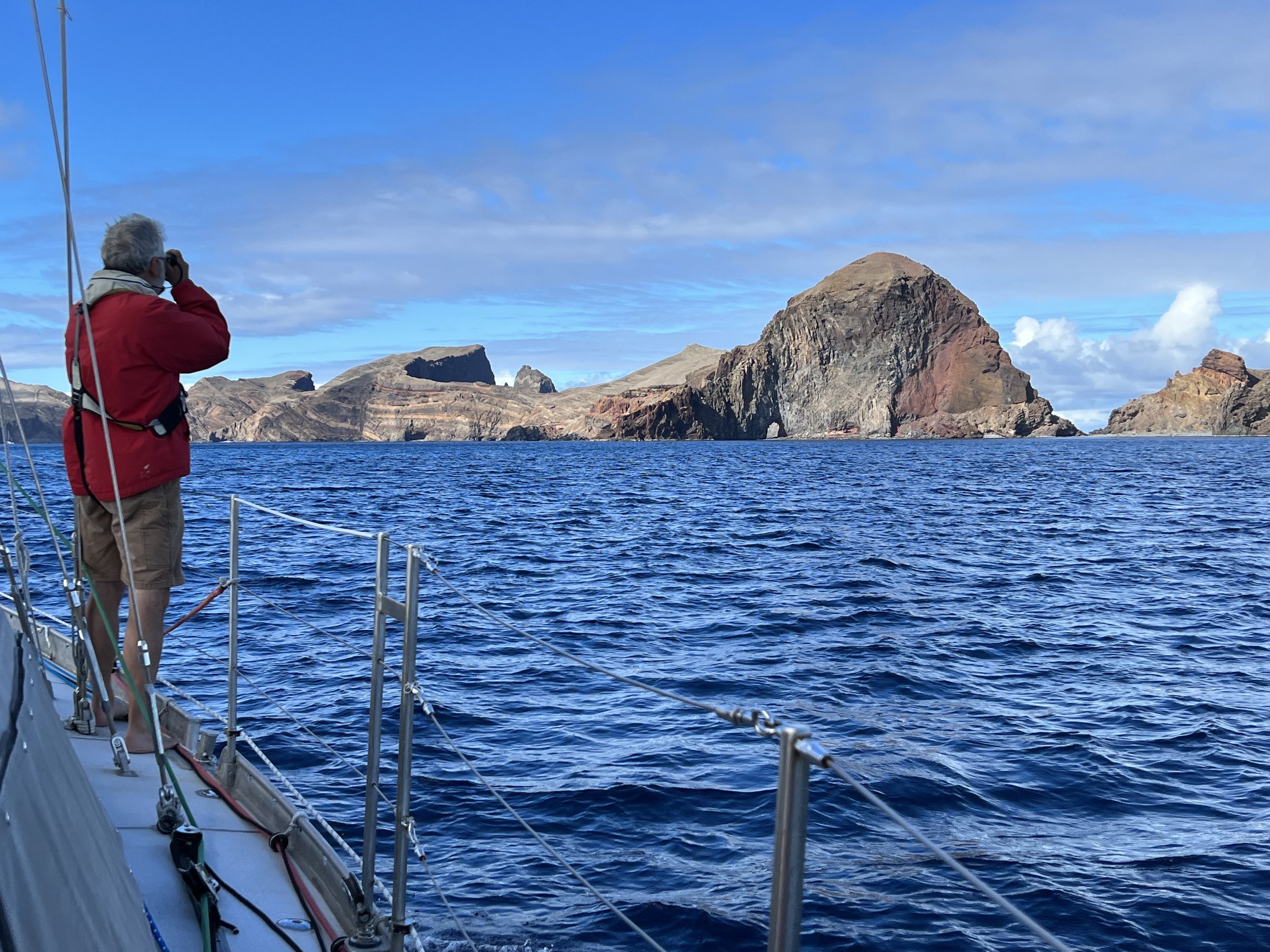
We had an easy sail south to the main island of Madeira and tucked in under the dramatic cliffs of Sào Lourenço. The anchorage was described as being prone to swell, but we had mild weather and the couple of days we stayed there were quite comfortable. The next morning we took Dingbat (the dinghy) in to the beach and hauled her up on the rocky shore. It was the last time we used the yellow dinghy wheels; they did not survive the relaunch.
Anchorage off Sao Lourenço with Ilhas Desertas in background.
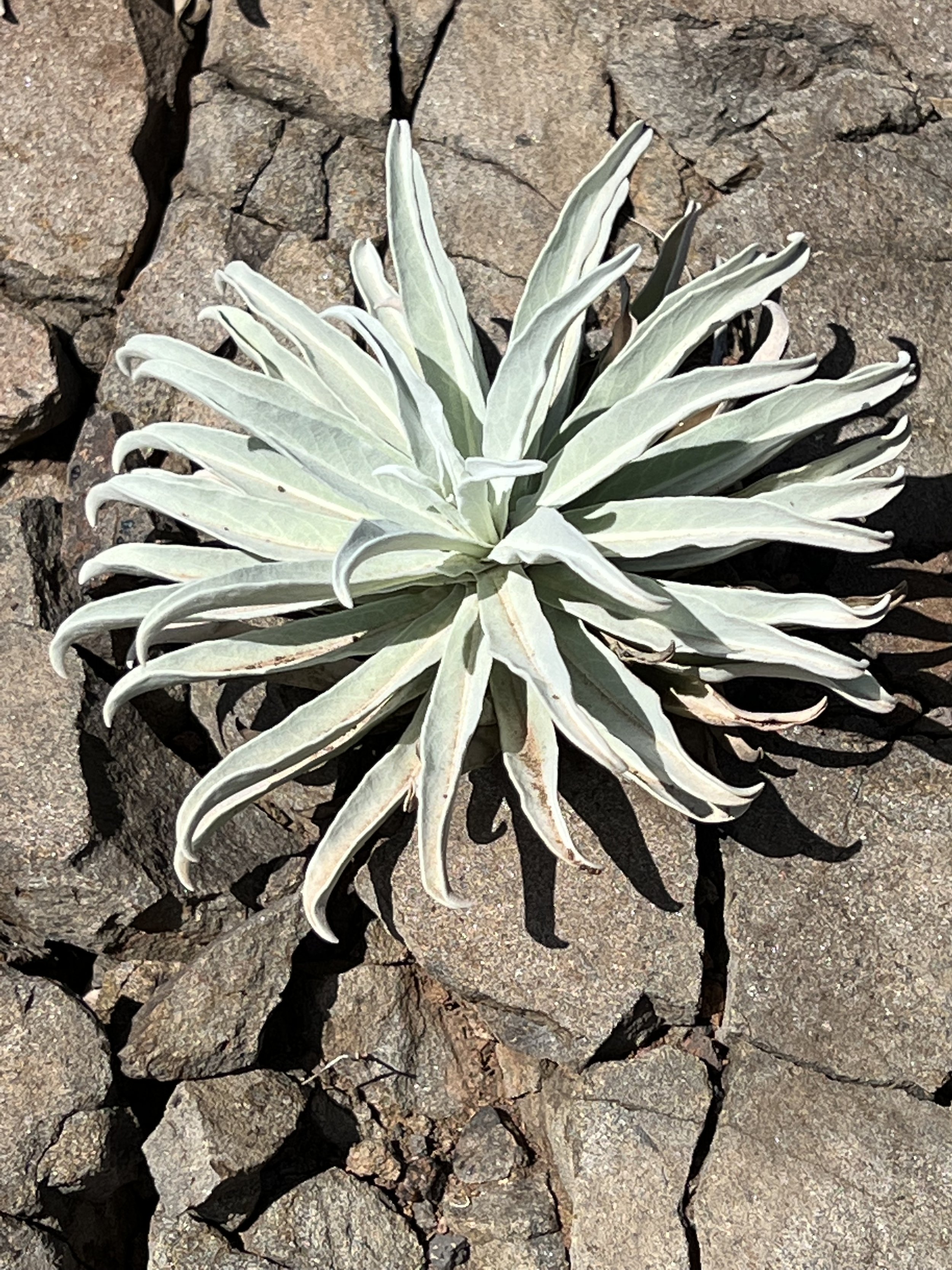
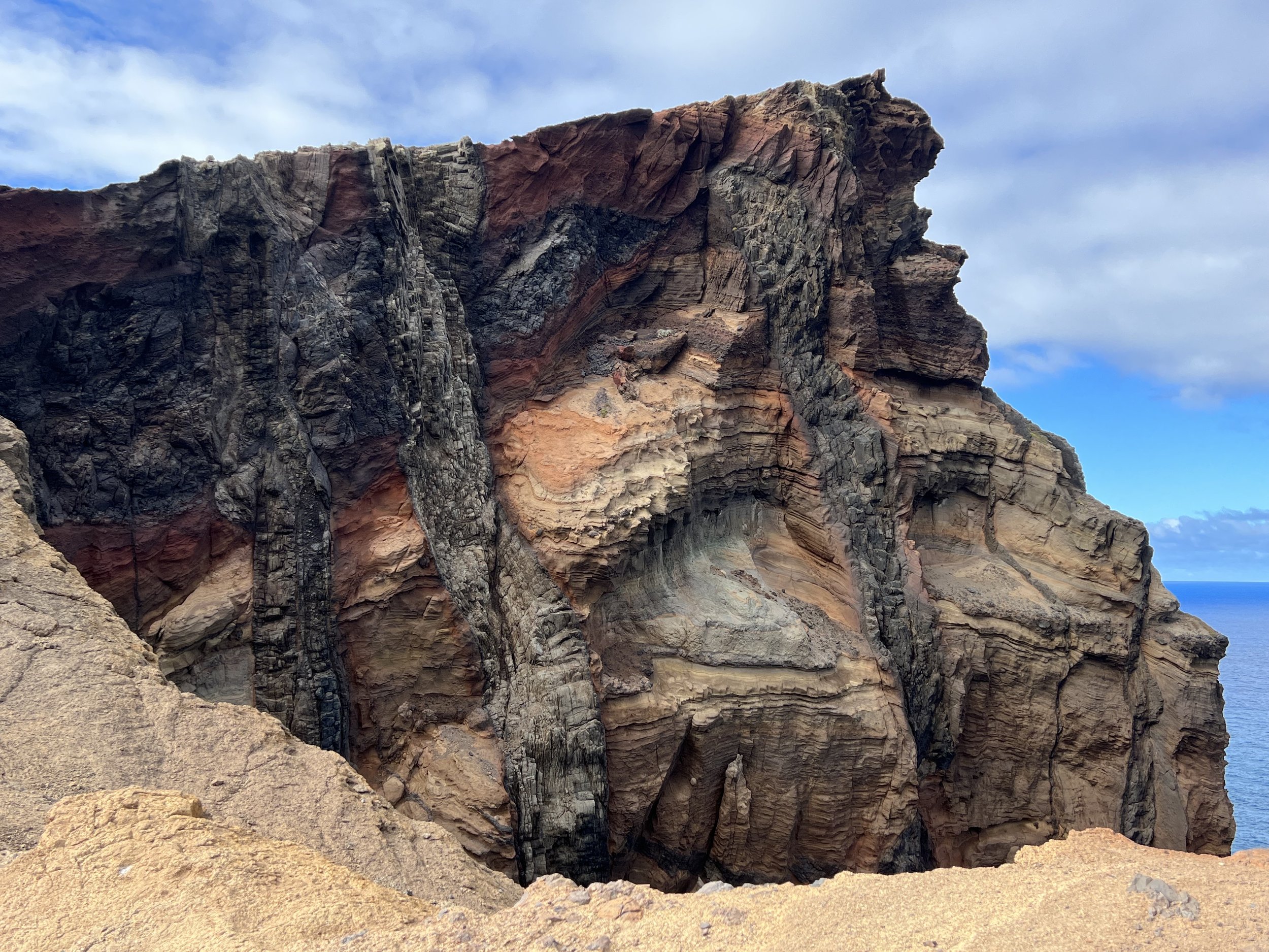
We took our lunch and hiked the beautifully maintained trail to the easternmost tip of Madeira. The geology was incredibly dramatic. The hike, although popular, never felt crowded.
View from easternmost tip of Madeira.
There are very few anchorages around the coast of Madeira due to the very steep shoreline. We really did not want to be tied up to an expensive marina, so we made our way to the town of Machico and checked out the fishing harbor. The cruising guides indicated the bay was subject to swell, they did not mention the harbor was as well. Helacious was too large for the pontoons so Initially we rafted up to a catamaran against the harbor wall. There was some surge, but the other boat took the brunt of the movement. It was only when they left the next day that we realized how tenuous and unsafe it was to be directly tied to the harbor walls. Within 5 minutes we had untied our lines and headed out to the bay where we set anchor. To mitigate the swell we put out a stern anchor so we faced the incoming waves. Much more comfortable.
Machico, Madeira.
We rented a car for a few days and took off to explore the island. Our first day out we left Machico in heavy cloud and climbed to the center of the island for a hike recommended by Justine and Phillip, setting out from Pico do Areeiro heading toward Pico Ruivo. This hike involved some dizzying vistas above the clouds and trails that ran through tunnels inexplicably passing through the mountain. It seemed like an awful lot of work for just a footpath.
The weather above the clouds was sunny and warm, the views and scenery were just incredible. We hiked to the low point and through all the tunnels, then reversed our steps and made the steep climb back to the start.
Starting out at Pico do Areeiro.
Along the way we met these very bold birds, the Red-legged Partridge. They were completely unfazed by the passing hikers, and frequently held up the trail as they hopped along.
Then we arrived at the first of the five tunnels. We donned our headlamps and headed in. They were quite long and drippy in places, you could see the pick axe scars from when it was carved out of the mountain by hand. Just incredible to think of the work involved, and why?
The clouds were beginning to move in so we turned around and retraced our steps. The climb back up to the summit was not quite as bad as we had feared, and we got back just as the clouds closed in. Perfect timing to end a most perfect day.
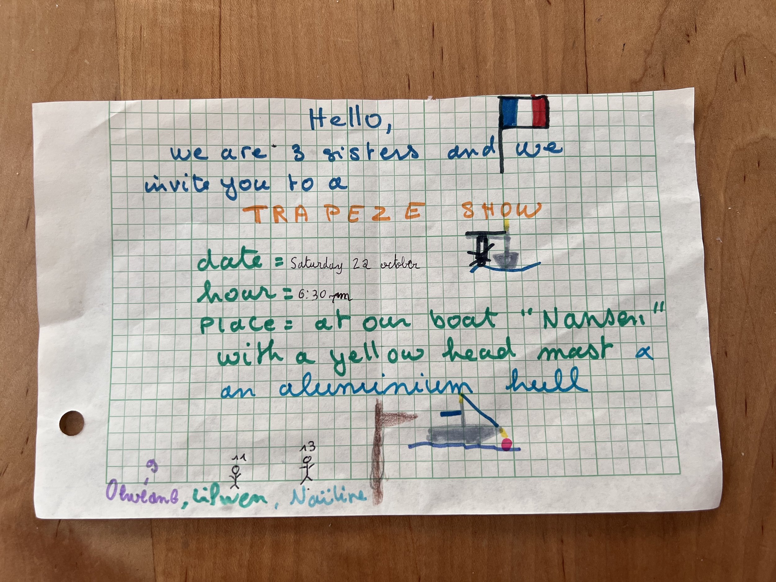
We were not alone in the bay, our neighbors were the french family on Nansen that we had met previously in Porto Santo. The girls had performed a trapeze show for the cruisers. We got to know them a lot better over the couple of weeks we were in Machico. They were a very adventurous family, prior to traveling on a boat they had cycled through South America on tandems with the girls, the youngest at the time was only 5 years old. We left them with an additional crew-mate, one of Helen’s crochet creatures.
The northern coast of Madeira
We had the car for a few days so our next outing was to explore the northern coast of Madeira. The road makes its way along the coast, following the valley sides where possible, and where there was no route along the coast, they simply carved into the mountains and went through tunnels, some were miles long. The coastline was spectacular, villages squeezed in to the few flat areas. Terraced fields climbed the hillsides towards the interior.
We found ourselves in the small town of Seixal for lunch. They have a couple of natural swimming pools, similar to those we had first seen in the Azores. After lunch, a tasty mix of steak, rice, french fries all topped with a fried egg, we walked off the calories through the backstreets and alleyways.
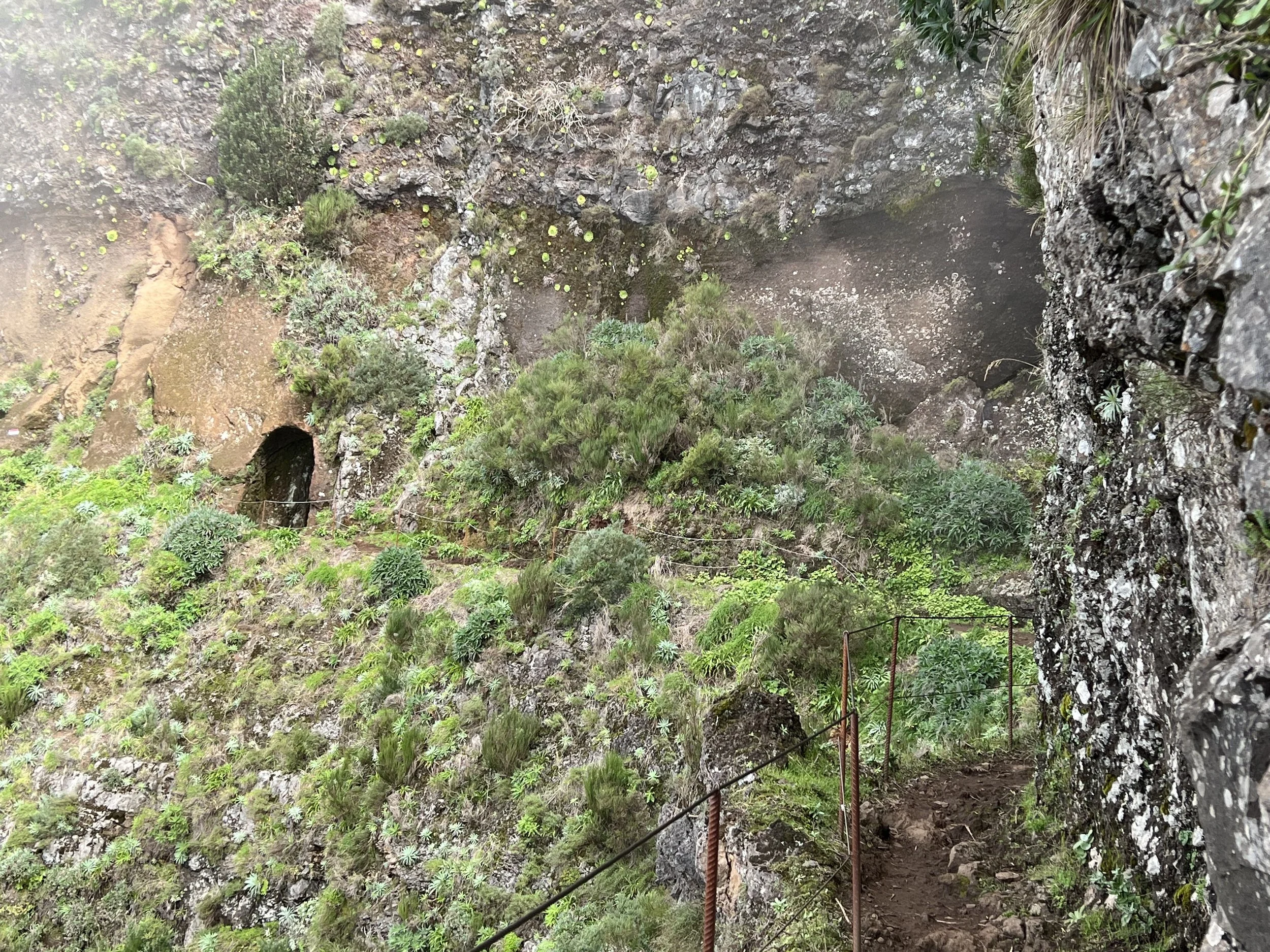
No trip to Madeira would be complete without exploring the levadas in the interior of the island. These are walkways along the side of irrigation canals. We selected Levada do Caldeiráo Verde that ended at a waterfall and began our walk. The nice aspect of these trails is that there is very little climbing, the paths are relatively flat as they follow the gentle slope that keeps the water flowing. The challenge was the narrow ledge we walked upon, along with the steep drop off down the mountainside. As in other cases on Madeira, when faced with a wall of rock, they simply tunneled through, the levadas were no exception.
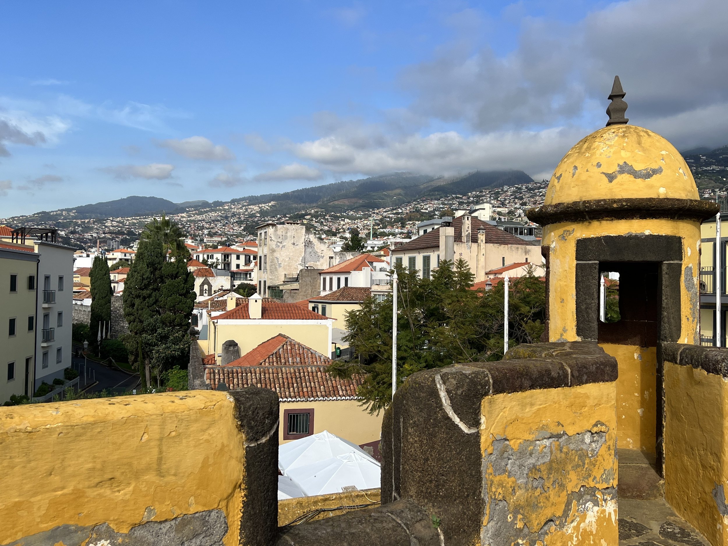
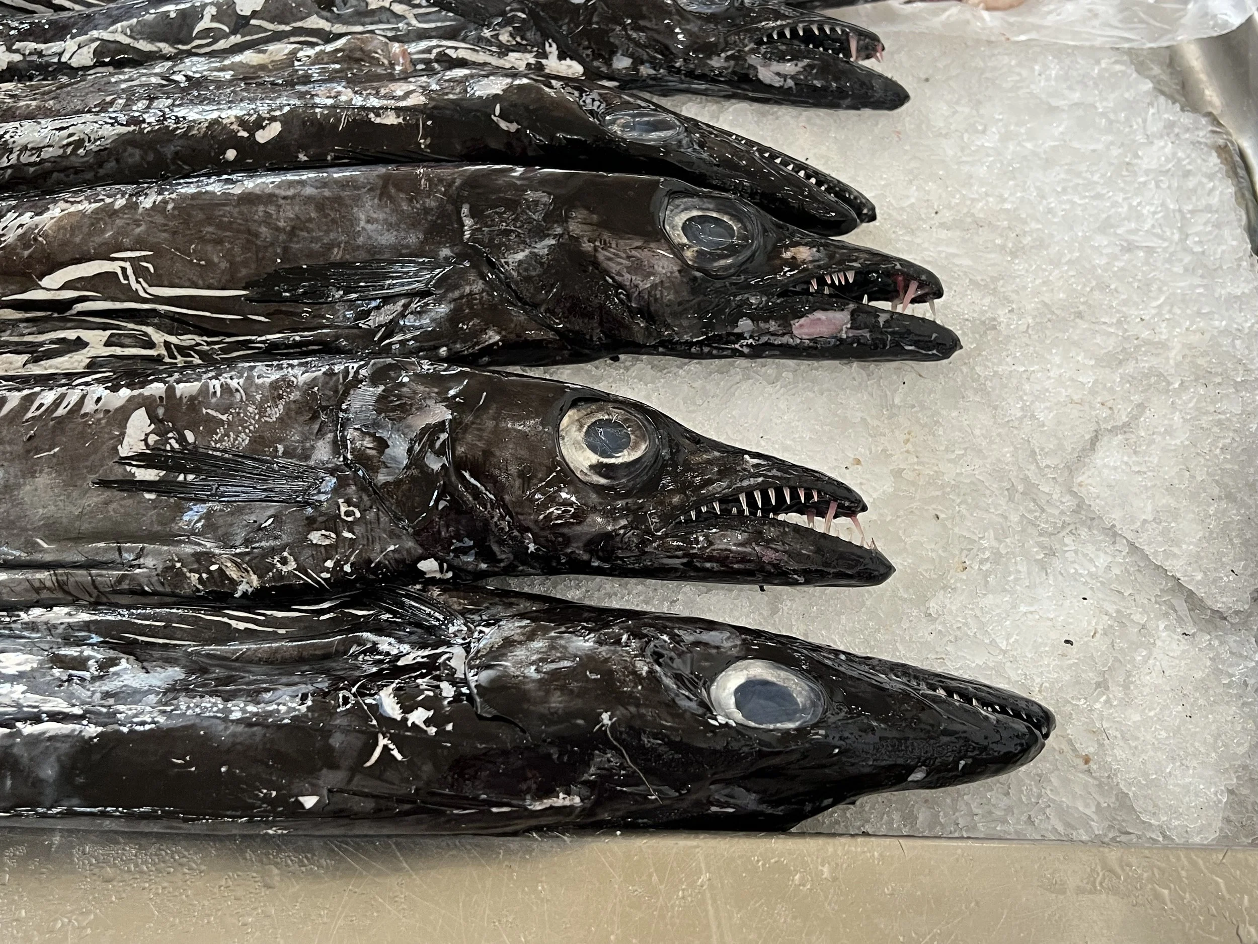
Our final trip in Madeira was to the capital city of Funchal, we caught a bus from Machico. It was unfortunate that we arrived the same day five cruise ships docked in the harbor. We have got so used to the quiet and calm of small fishing villages that when we do visit a city it is rather overwhelming. We spent the day walking around, visited the fort, the fish and vegetable markets and had a lovely lunch out. We enjoyed the painted doorways in the old part of town along Rua de Santa Maria. We bought our Madeira souvenirs, a pottery sardine and small watercolor and headed back to Helacious, exhausted.
Funchal spreading out along the southern coast.
Black Scabbard fish, a lot tastier than they look.
Farmers market, Funchal.
Our time in Madeira inevitably came to an end and we spent the last few days provisioning for the passage south to the Canaries. The lady at the meat counter, protected by her chain mail glove, prepared us some delicious ground beef. And then the weather was right, we left Machico, sailed out past the airport runway clinging to the hillside and spent an overnight at the uninhabited Ilhas Desertas before finally leaving Madeira waters. What an unexpected delight this island group was, so much variety packed into a small island, and the people were all so friendly. We would love to return someday.
The Ranger station on Ilhas Desertas, the hike on the island was taken out by the rock slide behind the buildings.
Island time
Beach, Porto Santo.
The passage to the Madeira archipelago from the Portuguese mainland took about four and a half days, we arrived in the harbor of Porto Santo, the most northeasterly island in the early afternoon. Porto Santo is the smaller of the two main islands, the remaining Ilhas Desertas and Ilhas Selvagens are little more than uninhabited rocks. As we approached it was clear this island was quite different from anywhere we had been before. Volcanic and arid, it looked like we were approaching Mordor.
The marina was tiny and full of boats, rafted up to 3 deep on the wall. The overflow was relegated to anchor within the harbor walls. There is just one small town on the island which was pleasant to walk around and as with the Azores, the benefit of being a member of Europe was very evident with a nice new library and official buildings. The beautifully decorated sidewalks reminded us we were still part of Portugal. The main attraction of Porto Santo is the beach. It stretches the length of the island and is lovely golden sand, a rarity in these mountainous Atlantic islands. A ferry brings tourists from Madeira, 25 miles away, for a day at the beach.
After a week in the anchorage we managed to secure a berth in the marina making it a lot easier to get on and off the boat to explore more. Just next to the harbor was a curious industrial installation; a collection of glass pipes, many bubbling and in various shades of green. Jake informed us this was a photo-bioreactor producing algae for biofuels and/or feed. Cool.
The hike around the island coastline was a favorite, and we did it many times during the three weeks we stayed in Porto Santo. It was good to just stay put for a while, getting familiar with a place and the people is nice and restful. We needed the break.
One day while we were at anchor a dinghy came by to deliver an invitation.
Well of course we went. Along with about 10 other dinghies we gathered alongside Nansen for the big show.
We loved Porto Santo, it was a great place to relax and just wait until we were ready to move again. We made friends, we did some boat work, we enjoyed the local food, we borrowed bicycles and rode the length of the island, we had dock parties and watched the sunsets. The bonus was the marina fees were very reasonable, three weeks (two of which were on the dock) was only 140 euro (about $150).
Helacious’ visit is recorded on the marina wall.
Then it was time to go. We wanted to make sure we had enough time to explore the remaining Atlantic islands properly and by this time it was already November. We were half way into our 90 day Shengen visa time. We said our goodbyes and set sail for Madeira.
Fog bound in Portugal.
Foggy sailing down the Portuguese coast.
Heading south out of the protection of the Rias of north west Spain, we sail south down the Atlantic coast of Portugal. This is not an easy area to cruise, the coast has no little welcoming bays nor dramatic cliffs. It is straight and broken only by river entrances, which can be extremely dangerous with the combination of onshore swell, entrance bars and strong river currents flowing out. Throw in the continuing concern about being attacked by a pod of orca, we did not dawdle in this area.
Entrance to Viana do Castelo
Our first stop was the old town of Viana do Castelo, on the banks of the River Lima. We manoevered past the breakwater and the shallow areas and called the marina on the radio to make sure there was a berth and also to ask them to raise the drawbridge to enter the marina. We were told that the marina was full but there was space for visiting yachts in the old fishing harbor alongside the museum ship Gil Eannes.
This was perfect, as in addition to having the whole dock to ourselves for much of the stay, we were much closer to the center of town. Interestingly, the Gil Eannes acted as a hospital ship for the Portuguese fishing fleet as they fished for cod off the Grand Banks and Norway. It has been fully restored and is open as a museum about the cod fishery. We felt we had covered that well enough this summer, so missed the tour. Instead we climbed the stairs to the Santuário de Santa Luzia, an impressive church with fine panoramic views all around.
Beyond the church at the summit of the hill was the excavated ruins of a substantial Bronze Age and Roman settlement, Citania de Santa Luzia. The older ruins outlined circular dwellings with a protective porch area, maybe to shelter the animals as well as protecting the main entrance. The later Roman ruins showed skillful masonry with double walls. The size of the site was impressive considering less than half is estimated to have been excavated.
We explored the town of Viana do Castelo, even the train station was an interesting building. We had the most delicious pizza lunch and checked out the fort guarding the river entrance. Viana do Castelo was a wonderful little town and we are so glad we stopped there, thanks for the recommendation Peter.
Moving down the coast we sail in some serious fog.
And arrive safely in the marina at Leixòes (pronounced Layshoinsh). This was not the most scenic stop, a commercial port full of container ships and oil terminals, but it was a strategic stop. Porto, our next place of interest to visit is inland on the Rio Duoro. The bar across the entrance is quite dangerous in strong onshore winds and the entrance can be closed to all traffic. We did not want to find ourselves stranded in this way, so we opted to visit Porto by bus from Leixóes.
Leixóes marina
The weather continued foggy and stormy, so we stayed in the marina. It was not very nice, dirty water and terrible facilities. We explored the town and enjoyed the variety of tiled houses, so colorful and every one is different. Classic Portuguese.
We caught the morning bus to Porto which deposited us in the center of town. The streets were packed. We had not seen such crowds in many years (think covid) and it was rather overwhelming. We stayed in the backstreets and enjoyed the multistoried buildings and beautiful tile work. The city straddles the Rio Duoro, the main commercial center is on the north shore and the port wine trading center is to the south. An impressive double level bridge connects the two.
Porto from the south shore of Rio Duoro.
The reason one visits Porto is of course to sample the port. The south side of the river is full of warehouses for all the different port-houses. The streets wind around up the hill with restaurants, tasting rooms and the warehouses themselves. We opt to do a self guided tour in the Fonseca house.
Rooftops in the warehouse district.
All this time we had been watching the weather and reading reports of boats being attacked by orca. It seemed they were particularly active in the area around Lisbon, potentially our next stop. A weather window to sail offshore presented itself. We decided Lisbon will still be there in a few years and we had had enough of the orca situation. We opted to leave the mainland and head for the Atlantic island of Madeira.
Sunset glow, first night at sea.
Gorgeous Galicia.
Lighthouse off Cabo Villano
The sail from Å Coruna around the Costa da Morte, ominously named due to the rugged coastline and frequently inclement weather, was fine, fortunately, with no issues from weather nor orcas. All of our flotilla arrived safely in the first of the Rias of Galicia, Ria de Camariñas.
Camariñas
Camariñas is not the most pituresque of towns, it is a working fishing village with a small marina for pleasure craft. We anchored off the shore and took the dinghy in to explore with friends Mads and Ava from their boat Athena. We explored the town and discovered it is famous for its lace making. There was a lovely shop selling fine examples in addition to a museum and a statue honoring the lacemakers of Camariñas.
We walked around the waterfront and checked out the fishing boats where they were busy mending nets.. We had a most delicious lunch and then explored the back streets. We saw the first of many strange small sheds built up on high supports. We puzzled what they could be used for, drying hams? Storing grain? Drying grapes? We returned to the dinghy and found we had misjudged the tide, wet feet were in order to retrieve the dinghies. The following morning we bid farewell to Athena crew and headed south.
We sailed around Cabo Finisterre, the westernmost point in Europe, and tucked into Ria de Muros, the winds became quite strong toward the end of the day and we had to dock in the marina with 27kt crosswinds. Ria de Muros is the least developed of the rias and the old fishing town of the same name is very quaint. The maze of cobblestoned streets and 18th century stone buildings made it a very pleasant stop for a few days.
Muros
Muros church, built in 15th century.
Muros was a good place to leave the boat and go on an excursion to Santiago de Compostela. We took the 2hr bus ride which was a delight in and for itself, winding through the countryside and joined the pilgrims from all over Europe on the final approach up the hill to the cathedral the end point of the pilgrimage known as Camino de Santiago.
Cathedral of Santiago de Compostela.
The cathedral is massive and very ornate, but that is nothing compared with what we found inside. The altar under which the remains of Saint James, first disciple of Jesus and patron saint of Spain are buried is covered in gold leaf and has every variety of cherubim and seraphim dancing along the outside.
We explored the streets enjoying the beautiful buildings and colonnades.
The next day we left Muros and motored south into the first of many foggy days. The day warmed up and the fog cleared as we rounded the cape and headed for Isla Ons, one of the three barrier islands that protect the Rias from the Atlantic storms. We had previously applied for the permit giving us permission to anchor in the islands for the week, and started with the northernmost island. The anchorage was rather rolly and uncomfortable so the following day, anticipating similar swell after visiting friends Iain and Jackie of Fatjax we headed into the shelter of Ria Pontevedra and anchored off the fishing village of Combarro.
Granaries lining the waterfront in Combarro.
Here we finally learnt purpose of these small stone huts, they are granaries (horreo) for drying corn as feed for the pigs to make the delicious Galician hams. Combarro has an unusually high number for which it is known in addition to the eight stone crosses placed throughout the village. All the old fishing homes have at least one window facing the sea, to watch for the return of their loved ones.
After a couple of days we headed back to the barrier islands, Islas Cies, and anchored off the beautiful beach on Isla del Norte. Here we spent four relaxing days, waiting for the winds to take us south, out of Spain and into Portugal.
Isla del Norte
Time to head south.
It was now well into September 2022 and we could see the weather was changing. There was no time to be lost, we had to leave Scotland and head south to get across the Bay of Biscay before the winter storms began.
We left Oban early September 12th and sailed south through now familiar waters, down the Sound of Jura and past the Gulf of Corryvreckan. The currents were strong and with us so we made good time and did a quick overnight stop at Gigha where we transferred the dinghy from the davits to the front deck, much more secure for a big ocean passage.. The next day we took down our UK courtesy flag and set sail for Spain.
The forecast was showing the remains of a low passing across the Bay of Biscay, so we decided to pause for a day in Ireland to let it pass before we embarked on the four day passage to Å Coruna, Spain. The closest marina was Kilmore Quay on the south west coast of Ireland. We could not get in touch with the harbormaster to make sure there was space, but we thought as it was past the busy season and it was not a weekend, there was bound to be space. As we approached a German boat who had been ahead of us radioed back to say it was very full, but we could raft up to them on the quay. For that we were very grateful as when we finally got in the tricky entrance, we could see this was a working port, it was packed full of fishing boats of all sizes. We tied up and slept. The next morning they left and we claimed the one free spot next to the lifeboat.
Helacious in Kilmore Quay.
The following day we left in the early morning, bound for Spain! The forecast had calmed down, to the point we were having to be careful to stay in the wind and not get overtaken by the high coming off the southern Irish coast. The passage gave us some lovely sunsets, with an eerie glow in place of the “green flash”. We passed close to the Queen Mary, heading for New York, and toward Spain the traffic got quite heavy at times, there was no napping at the helm.
The Bay of Biscay was kind to us and we approached Å Coruna as the sun was rising on the fifth day. We sailed past a flotilla of five sailboats leaving to head west on down the coast. There have recently, in the last few years, been pods of orca attacking sailing vessels. The attacks getting more severe and more common and frequently disabling the boats by damaging the rudders. The flotilla was a group hoping to avoid orca attacks, or if it happened to have a friendly vessel nearby to assist. We heard later four of these boats were indeed attacked, one came close to sinking. We were very lucky to arrive unscathed.
We checked in at the police station and the Shengen clock started to tick, we had 90 days to enjoy Europe, then we must leave. We spent three days in Å Coruna; it is a lively city, a perfect blend of ancient and modern. Busy, but not too busy. We enjoyed the narrow streets lined with bars, restaurants and shops. Most were closed as we wandered around in the morning, they open for lunch (after 1pm) and really come alive in the evening (after 8 or 9pm) when we are often back on Helacious. The Spanish eat so late we have not been able to adapt, so we stick with lunch out. The buildings along the waterfront all have the characteristic glassed-in balconies or galeria, an architectural feature introduced in the late 19th century, presumably to give ventillation but protect from the weather.
Waterfront in Å Coruna. Once again the marina is right in the center of town, perfect.
We explored the Torre de Hérules, the oldest lighthouse in the world, built originally by the Romans, modifed and substantially renovated by an enlightened architect in the late eighteenth century. It is still in use, we saw it as we passed in the final approach to Å Coruna.
Torre de Hércules
We spend a lot of time in the grocery store, the wonderful meats and cheeses, olives and wines were a delight. Soon however it was time to leave. We were gifted some industrial strength firecrackers, to be used as an orca deterant, which we hoped never to have to deploy. We arranged our own flotilla and early one morning five boats left Å Coruna as the sun was rising.
Family time
Russells, and a Russell to be, on the ascent of Am Bodach
We sail back to familiar waters on the west coast of Scotland. Our first port of call was to meet up with Peter from Supertramp, our companion on a number of the more memorable hikes in Norway. We explore Dunstaffnage castle, admiring the way it rises up from the rock, and enjoying the stonework of old fireplaces, kitchens and the chapel.
Following that we arrived in Oban in time to stock up with good food and to have our freezer checked out and hopefully fixed before Mark and Grace arrived from Colorado to spend a week onboard.
Once our guests are onboard we set off for a circumnavigation of Mull. First stop Puilladobhrain anchorage and a trip to the pub. The next day we set off around the south coast of Mull and anchor in Ardalanish bay. The fishing was good, Mark and Brian caught many mackerel for dinner that night.
We motor through the channel between Iona and Mull and on to check out the Staffa rocks. We anchor for the night at Gometra and enjoy a walk around the island. On to Tobermory and a sail down the sound of Mull marvelling at the waves thrown up by strong currents before heading back to Oban for more freezer work.
We manage to squeeze in a little fun on the water and a hike around Kerrera too.
In no time a week was up and we were off to meet up with the rest of the family for the epic final munro. Justine and Philip had been bagging munro’s for around 10 years and they had saved Am Bodach for the final ascent. We were all determined to be there and to climb it with them.
Castle Stalker on the way to Kinlochleven.
The gathering began in Kinlochleven, it was touch and go whether everyone would arrive in time. Flights from France and Memphis with little time for delays and transfers left the poor organizers in a tizzy, however it all worked out and soon we were all together. The large number gathering in the parking lot the next morning was a testament to their popularity, especially as the weather forecast predicted gale force winds for the day.
The prossecco was shared out, the piper tuned his pipes (oxymoron there I think) and we were off.
The ascent was steep, and the wind did indeed howl, but then we got to the ridge where there was potentially a real danger of being blown off, and yet the wind seemed to scoot right over our heads. The final push and subsequent celebration on top was in fine conditions.
We all did it!
To complete the story, we safely and slowly descended. The weather turned and we were pounded by iceballs, which are really quite painful. The evening celebration was appropriately with haggis, tatties and neeps with plenty of whisky and the next day we staggered home. Thanks Justine and Philip for a very memorable weekend.
A full video telling the story is found here
https://youtu.be/QptVbm9m5TE


