Favorite anchorages of Scotland
We spent the summer of 2021 then May and August of 2022 sailing the west coast of Scotland. We had not posted much of the 2021 trip as this blog was on hold for a while. I would like to catch up with some of our favorite spots, just for the photographic record.
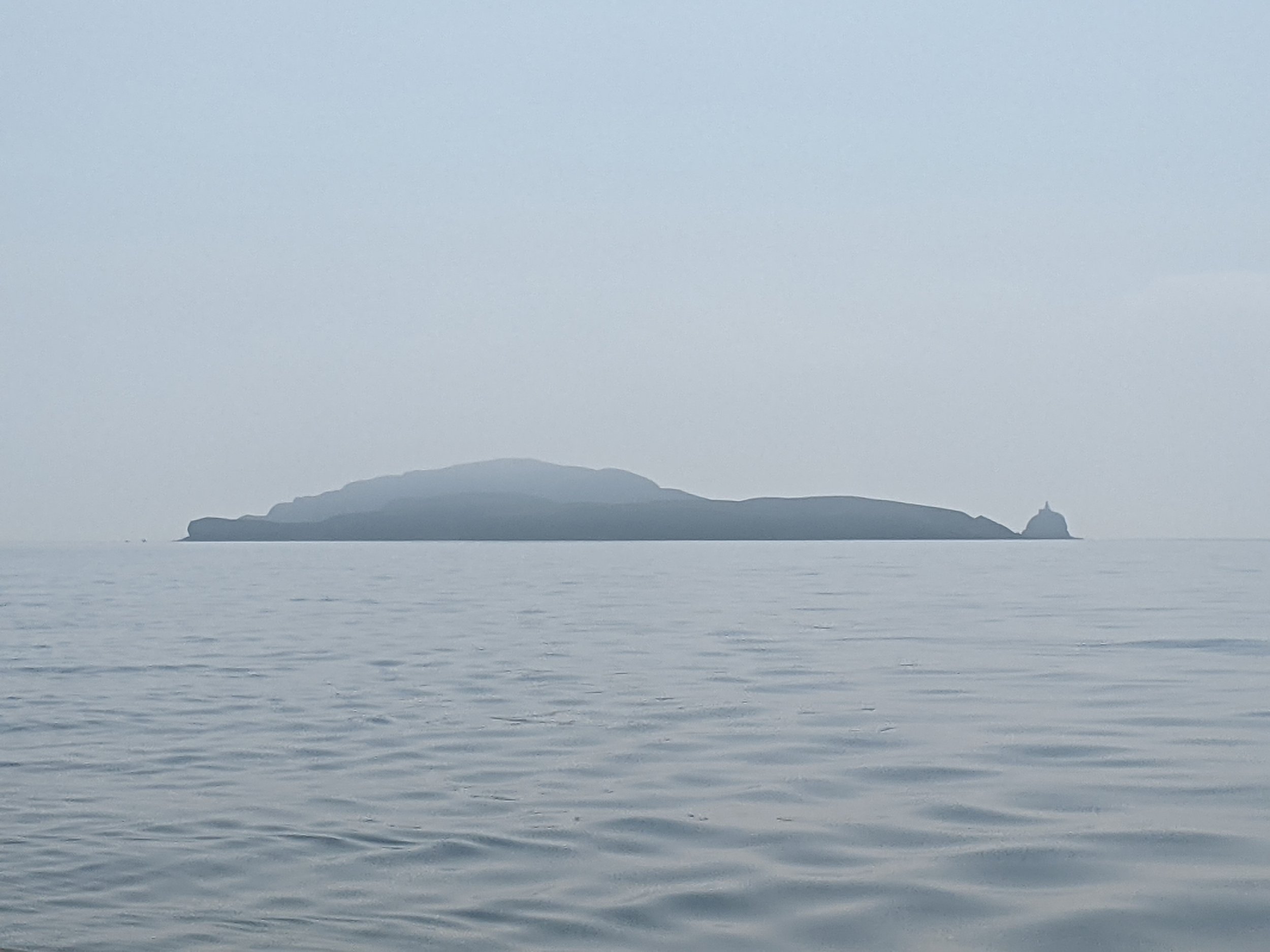
Sanda: Just off the tip of the Mull of Kintyre, only a fairweather anchorge, fortunately we had the calmest of all days.
Sanda
Gigha: Ardminish Bay, Gigha is known for the Rhododendron collection at Achamore Gardens and the halibut at the local restaurant. Unfortunately we missed out on the halibut as we arrived too late and there was no room for us. The gardens were very pleasant though.
Ardminish Bay
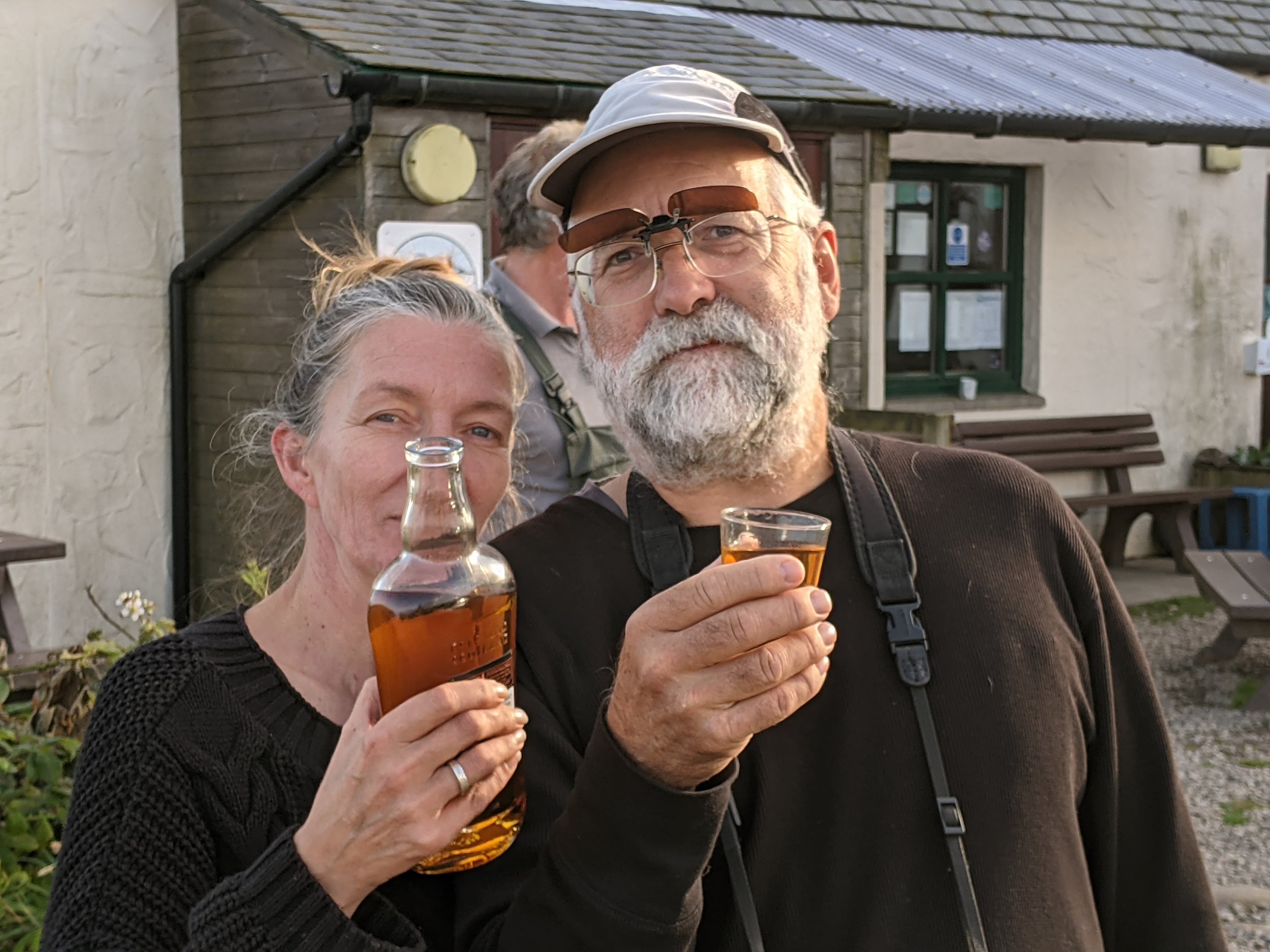
Islay: Anchored off the Lagavulin and Ardbeg distilleries on the south coast of Islay. A fantastic walk to explore the early christian Kildalton Chapel and the Celtic Cross. Then an instructive tasting at the Ardbeg distillery.
Lagavulin Distillery
Oronsay: This small island is connected to the larger Colonsay at low tide. Here we learnt the trick to mackerel jigging from a friendly fisherman, we were also gifted mackerel and crab to keep us going. We walked across the causeway to Colonsay and visited the Oronsay priory.
Anchorage off Oronsay.
Jura, Loch Tarbert: This well protected loch has a tortuous entry with very high tidal streams, made accessible only at the turn of high tide. The area is famous for the raised stone beaches, remnants of the retreating glaciers during the Ice Age.
Raised stone beach, Loch Tarbert, Jura.
Gometra: The anchorage is actually in the channel between Gometra and Ulva, which dries out at low tide. There is a one track bridge connecting the two, suitable only for hikers and all terrain vehicles. The Gometra gallery was a wonderful surprise and we bought our favorite Scottish souvenir there, a set of Gometra stamps. A hike around and over the island, surprising deer in the bracken was a highlight of our Scottish summer.
Anchorage between Ulva and Gometra.
Anchorage from Gometra.
View from the top of Gometra.
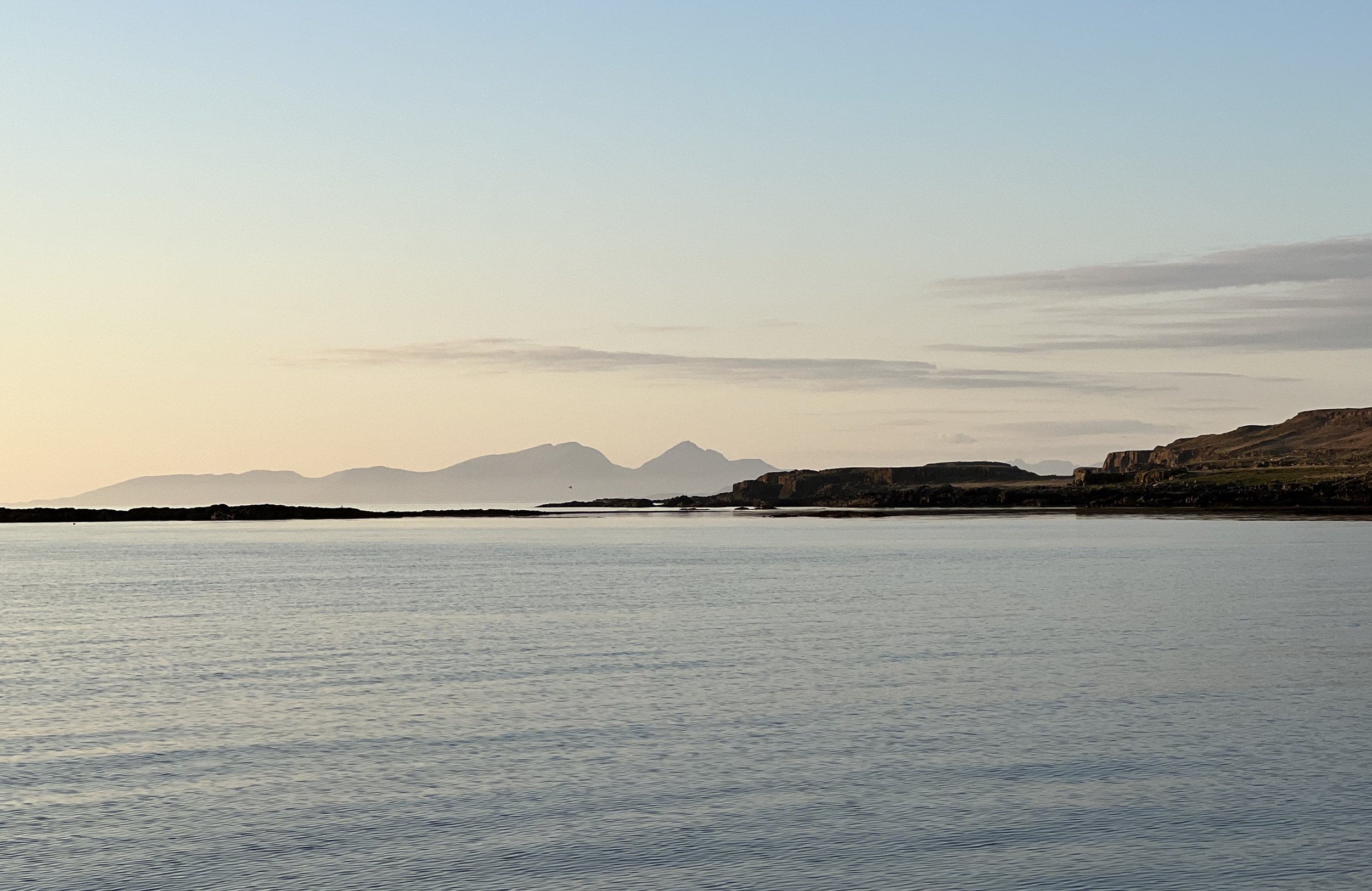
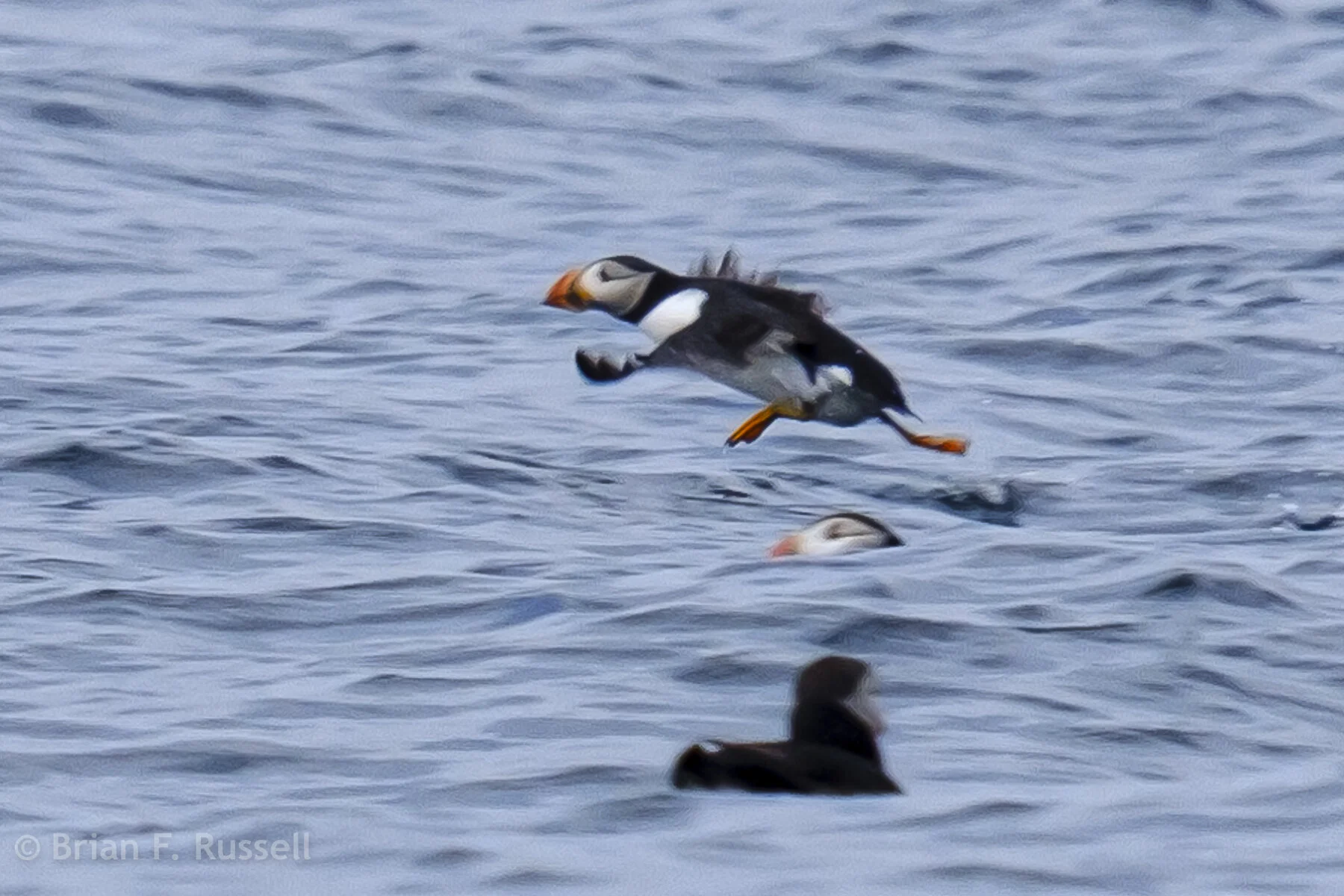
Lunga: The calm weather permitted an overnight stop here. The island just northwest of Staffa is known for the large puffin colony that nests here. The puffins had left the burrows but we caught some rafting at sea. We were also delighted by the evening serenade of seals singing to us. A special place.
Puffins at Lunga.
Kerrera: The main town of Oban and the island of Kerrera across the sound, are two of our favorite spots on the west coast. We spent many days in this area, hiking around Kerrera and visiting Gylen castle. The marina on Kerrera was friendly and the restaurant very good. The views from the hill across the sound to Mull were hard to improve on.
Gylen castle, south end of Kerrera.
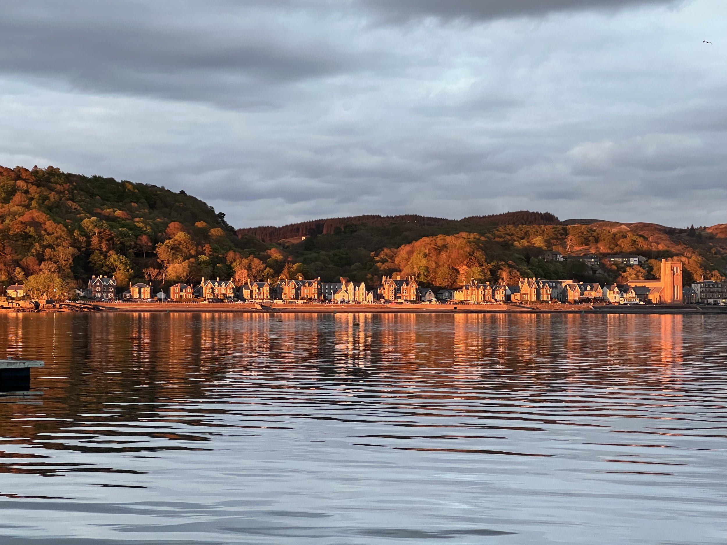
Oban is a bustling town, it was a good place to provision and the Green Shack served the best sea food.
Oban at sunset.
Loch Aline: We were in a number of anchorages around Mull and the nearby lochs, one we enjoyed was at the head of Loch Aline with the Ardtornish estate and archimedes screw turbine to explore. It was here we were reminded to check the tides more closely when going ashore. Fortunately we had Charlie with us to rescue the dinghy.
Boathouse at the head of Loch Aline.
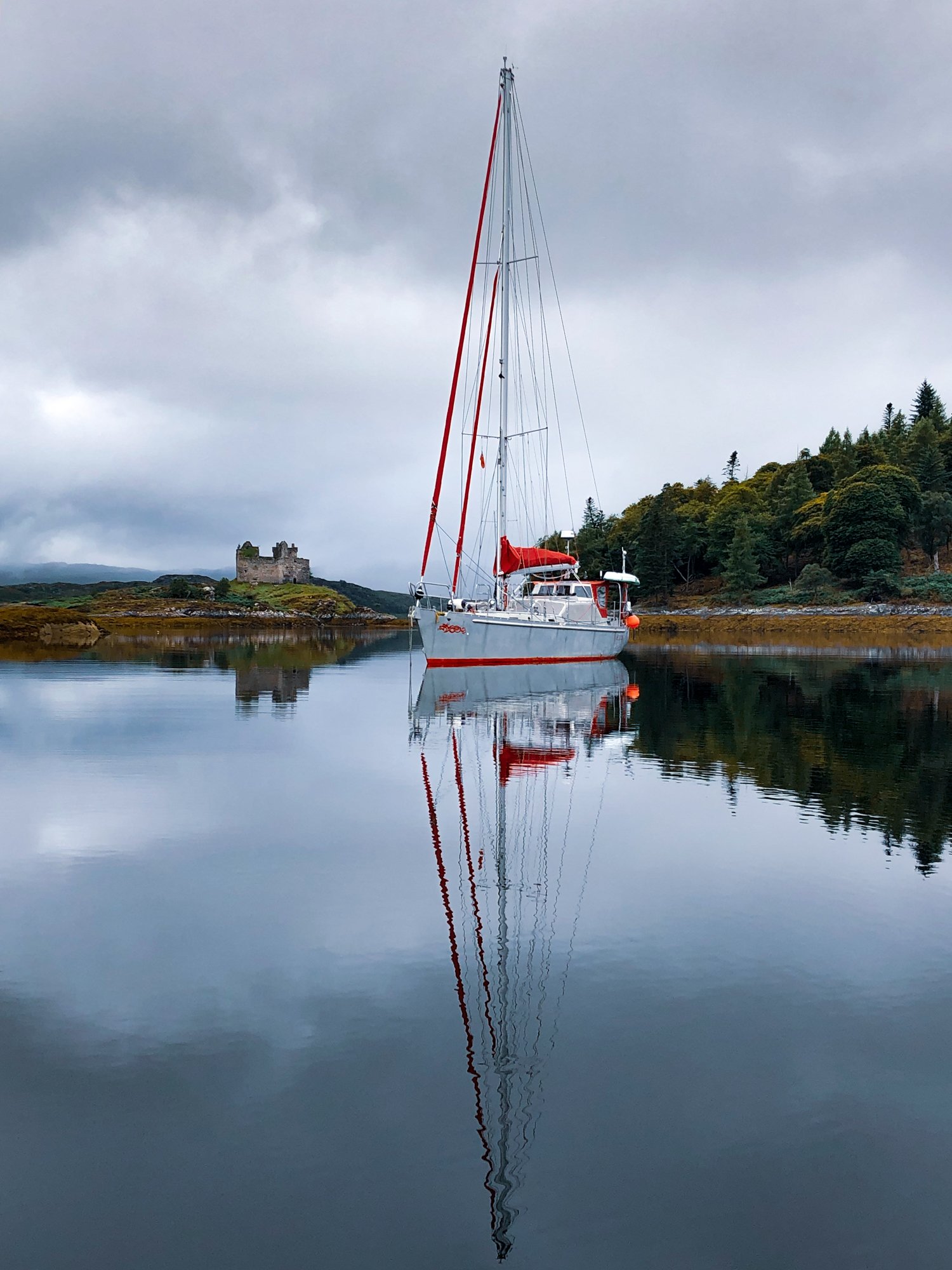
Loch Moidart: North of Ardnamurchan Point there are more dramatic and less visited anchorages. We sailed in the company of Charlie and Chris on Stomper for a few days, The first we visited was Loch Moidart with Castle Tioram, an iconic castle on an island.
Helacious anchored off Castle Tioram.
We pulled out the drone and took some shots. The walk around the inlet was nice and the spotting of sea eagles made our day.
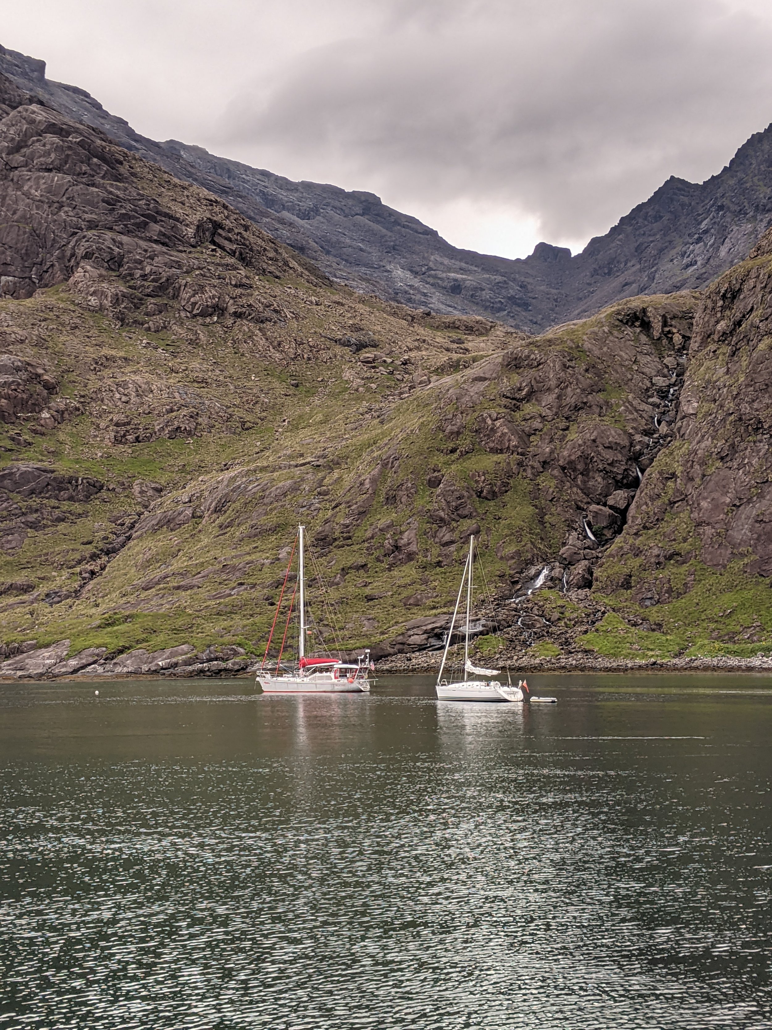
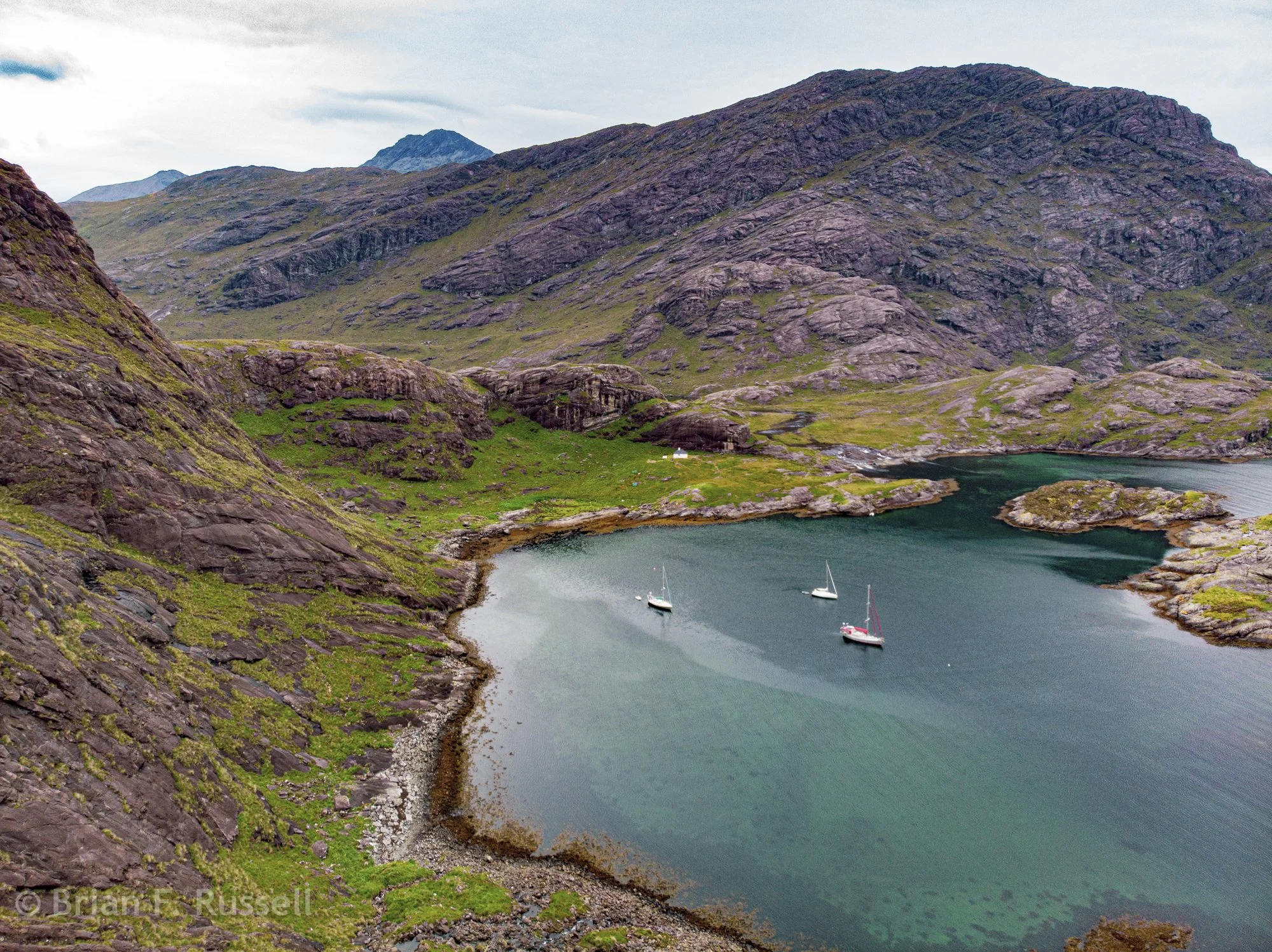
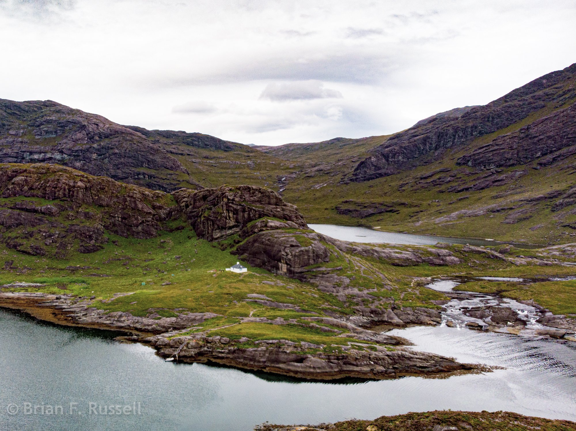
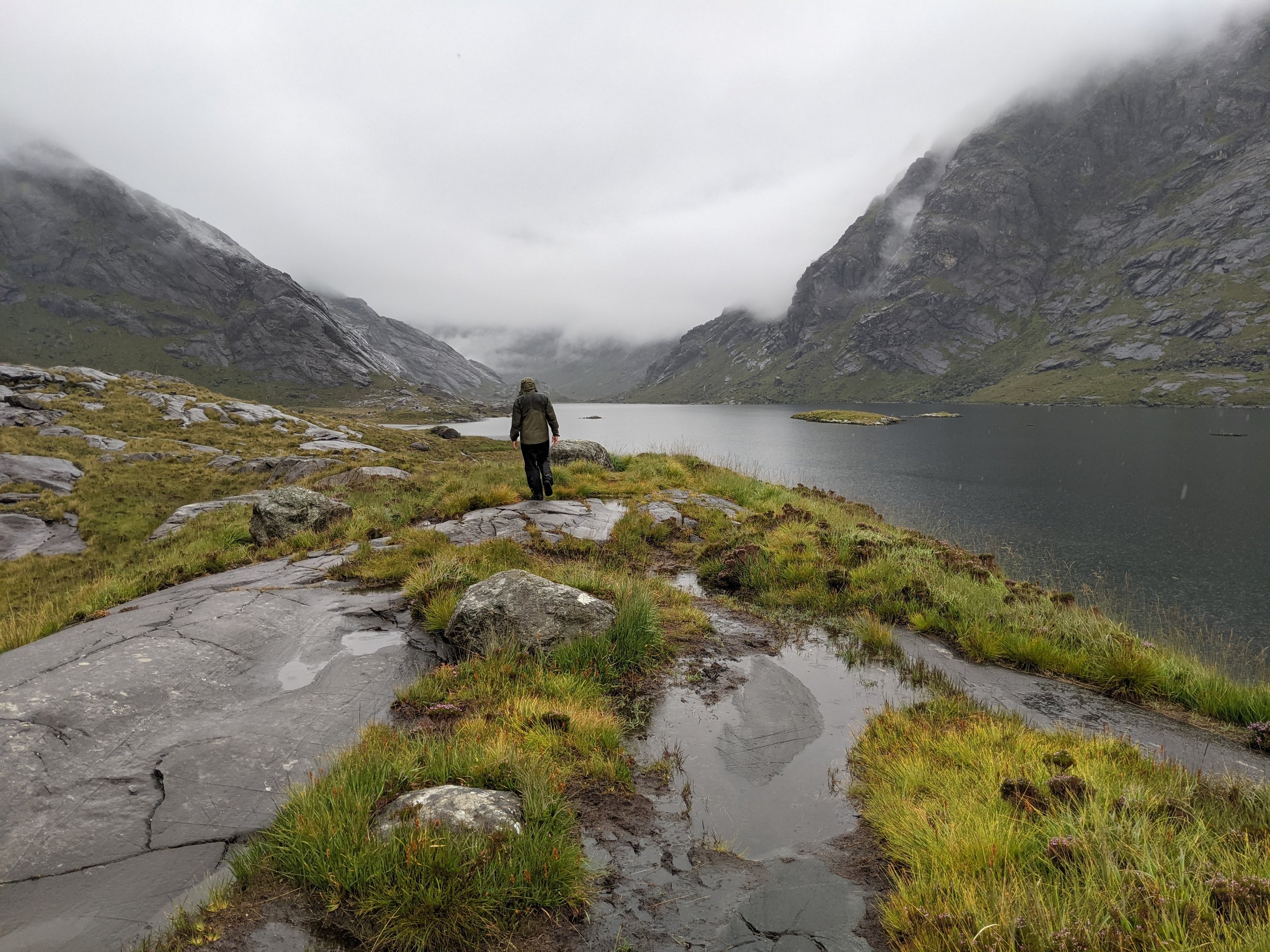
Loch Scavaig, Skye: One of the most dramatic anchorages on the west coast of Scotland is on the south coast of Skye surrounded by the peaks of the Cuillins. The nearly enclosed bay is the home of the Coruisk Memorial Hut, a bothy or climbing hut belonging to JMCS which we were tasked to photograph. The freshwater loch, Loch Coruisk lies just inland, separated from the ocean by a short spillway.
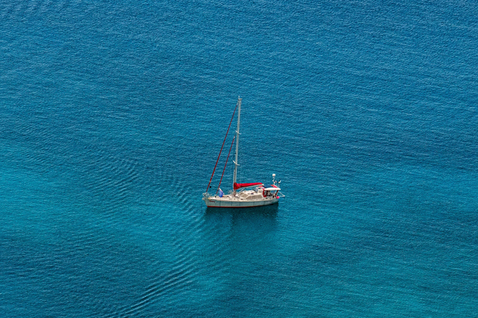
Helacious anchored in Loch Scavaig, Skye
The Small Isles: There are four islands between Ardnamurchan and Skye which we visited in August 2021. The weather was perfect and we enjoyed exploring them with Justine and Philip. Even though they are all so close it was surprising how each had their own character and vibe.
Rum: This is the largest of the Small Isles it is quite mountainous and is the home of a large herd of red tailed deer which have been in the longest continuously run survey since 1970’s. At the head of the anchorage at Loch Scresort is Kinloch castle, an Edwardian mansion built by crazy textile tycoon, George Bullough as a summer residence.
Kinloch Castle, now it is closed but was a happening place in its day.
We take a walk to the northern shore and find the herd of deer, and also suprise a deer watcher. We take the boat over to the northern anchorage and enjoy watching the deer from the boat for a couple of days.
Eigg: the most easterly and second largest of the Small Isles, Eigg has a very recognizable profile with the Sgurr of Eigg rising above the anchorage. Eigg is owned by a collective of the residents. It is self sufficient using wind and solar power exclusively.
Sgurr of Eigg.
We meet a few of the local characters and take a soggy walk across the island to the Singing Sands beach. We discover the delight of smoked mackerel and immediately go fishing to provide supplies to make our own.
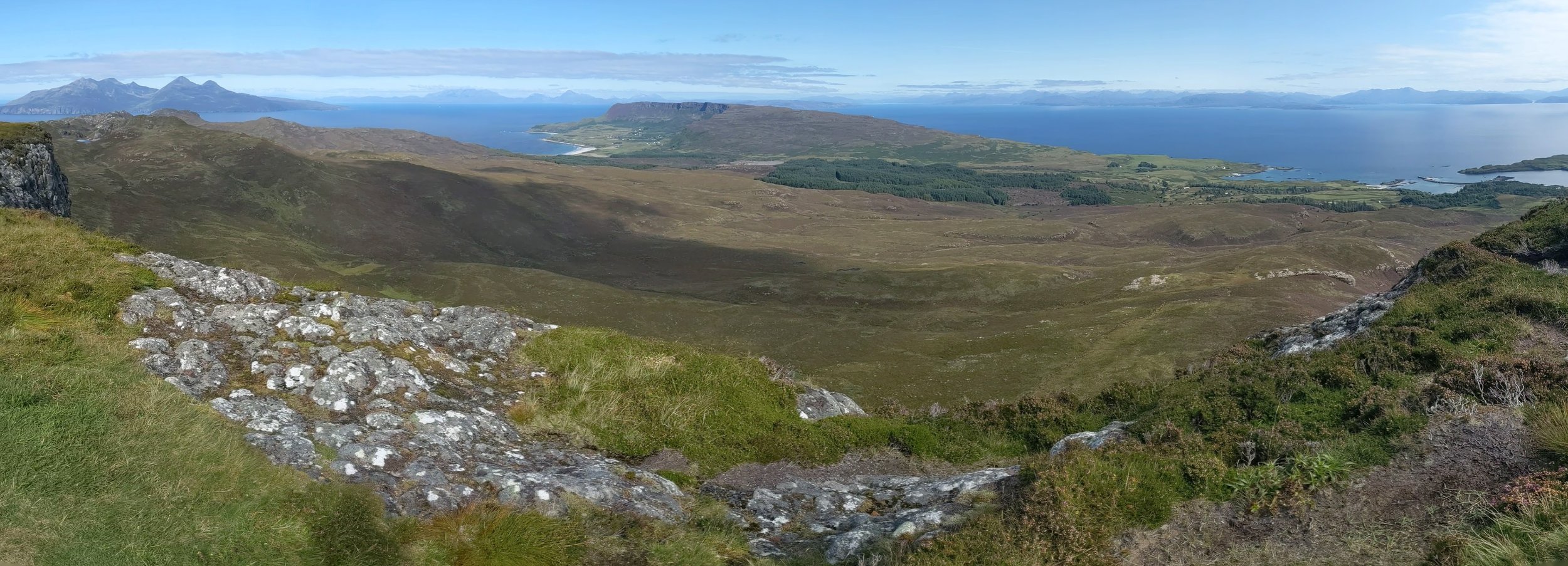
We hike to the top of the Sgurr and enjoy the panoramic views.
Looking north toward Rum and Skye, below the wind trimmed trees and view of the anchorage.
Muck: What a strange name for an Island, this turned out to be our favorite of the Small Isles. The only one still owned and managed by a family, we had the distinct pleasure of meeting Lawrence MacEwen, the Laird of Muck. We bought some lamb from his well managed farm, hiked to the summit of the island enjoying the views and had lunch at the Muck Tearoom with local residents passing by.
Canna: The westernmost of the Small Isles is currently owned by the National Trust for Scotland. It is actually two islands, Canna and Sanday joined by a single lane bridge. We enjoyed a walk around the island, watching the sheepdogs round up the sheep spread over the hills. It was such a warm day, some of us felt the need of a dip.
Canna boat harbor on the west coast of Sanday.
While on Canna we explore the “historical” sites; Prison Rock is a structure high atop a rock stack with treacherous access. It is said to be the place Marion Macleod was imprisoned in 17th century for being unfaithful to her husband. We also searched out the Celtic cross which was sadly missing two of its arms, supposedly due to it being used as target practice in Napoleonic wars and the punishment stone, a place where offenders would have their thumb wedged firmly in a hole in the side, and left to ponder their crimes.
The Outer Hebrides. We did not really do the Outer Hebrides justice in the two years we were cruising Scotland. Here are a few of the places we visited, leaving many more for a return visit.
Lock Skipport, South Uist: Wizard pool is a nearly 360 degree protected pool. We stayed here a couple of days to allow bad weather to pass. We met Ewen and Jane on Mora Lass on our hike across the island to the dramatic beaches of the western coast, and enjoyed their company for a couple of sundowners.
Loch Skipport.
Flodday Sound, N. Uist: The sound between Ronay and N Uist provides a sheltered spot inbetween many rocks and sandbanks. The area was perfect to spot otters. The climb up to the hill above the anchorage gave us a view over the sound all the way to the Atlantic ocean.
Flodday Sound.
Stornoway: On Lewis, the northernmost island of the Outer Hebrides is the main town of Stornoway.
Stornoway Harbor.
Stornoway harbor is watched over by Lews Castle and its impressive grounds. The museum houses some of the incredible Lewis chessmen dating from Viking times.
Using Stornoway as a base we explored the area. We visited Bostadh Iron Age settlement on Great Bernera.
We checked out the Callanish Standing Stones from late Neolithic era.
Callanish Standing Stones
The blackhouse village of Gearrannan where we watched a fascinating example of weaving Harris tweed cloth.
Black houses in Gearrannan
Heading back to Ardrossan for winter 2021-2022 we had some fun sailiing with Charlie, stayed in many scenic and snug anchorages, too many to list. We crossed to the Firth of Clyde via the Crinan canal, anchored in Lochranza to hear the stags bellowing across the hills, and Broderick Bay on Arran, to clmb Goat Fell.
View from summit of Goat Fell.
We returned to Ardrossan October 20th, just in time. The winter storms began shortly afterwards. Helacious was hauled out and safely secured for the winter when we returned to continue the adventure north to Norway.
Sailing across Scotland
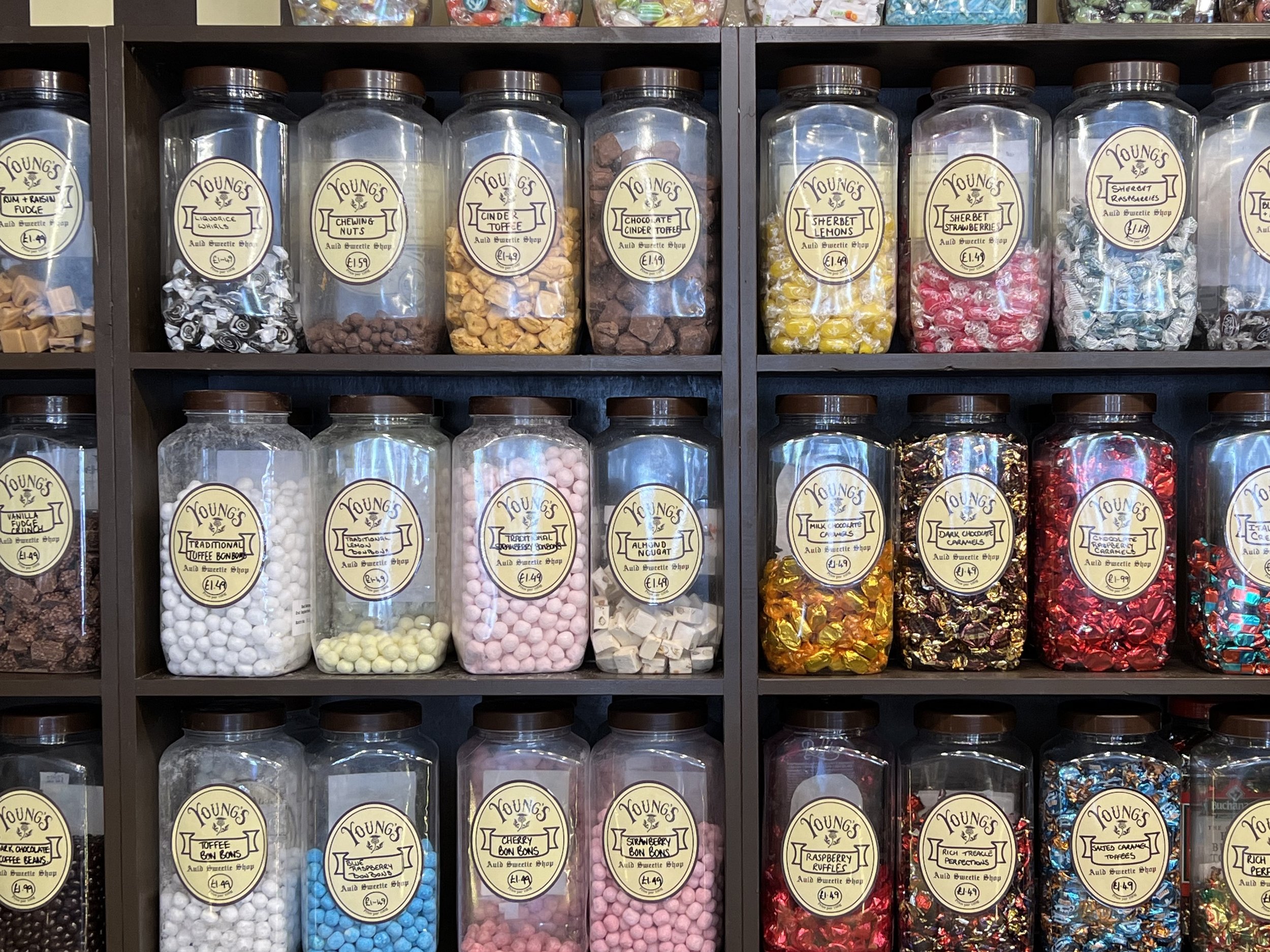
A fine display of sweets in an Inverness store. I had to get some sherbet lemons.
We make landfall after our North Sea passage in Inverness and spend a couple of days cleaning off Helacious and enjoying the familiar sights and sounds of Scotland. We were back in the land of solid stone buildings, good bookstores, and reasonable priced restaurants.
After stocking up on smoked haddock, whisky and other Scottish delights we had been missing, we left the marina and motored over to the Clachnaharry sea lock for the start of the Caledonian canal. We had managed to nab one of the incredibly difficult to obtain one week licenses to transit the canal, they sold them like a lottery, only 5 released at 5pm on a Thursday! Fortunately we scored. We passed through the first two locks and tied up in Seaport marina next to Moondance. We celebrated the beginning of the voyage across Scotland with Moondance crew, Ellen and Frankie. The following day we took Helacious through the swing bridge and the first series of locks called Muirtown Flight, that would raise us up to the height of the canal.
Motoring along the canal was sublime, passing the fields and hamlets at a stately 4kt, waving at people who were walking the towpath or enjoying the water on kayaks. It was fantastic weather as well, which of course helped.
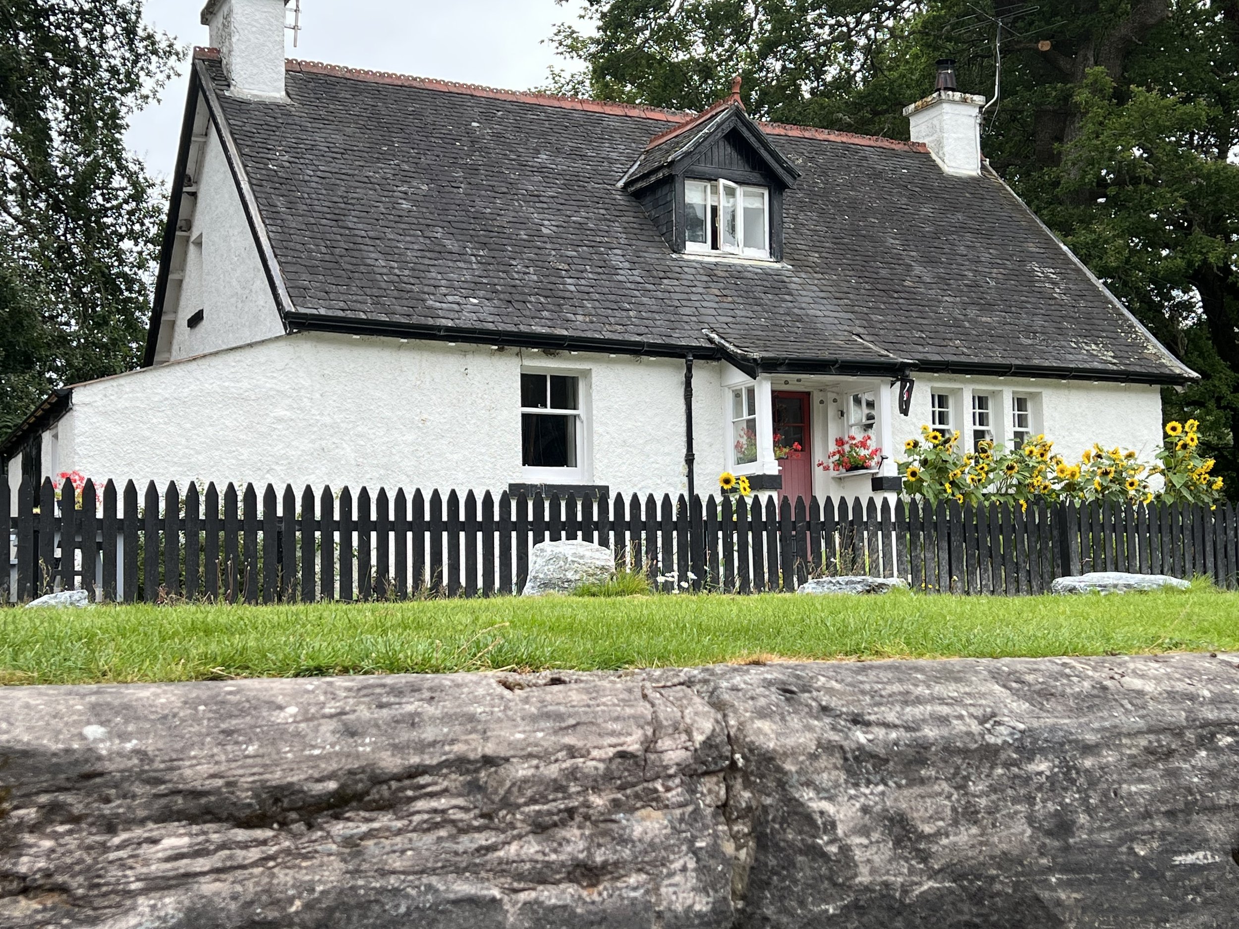
Cottage along Caledonian canal.
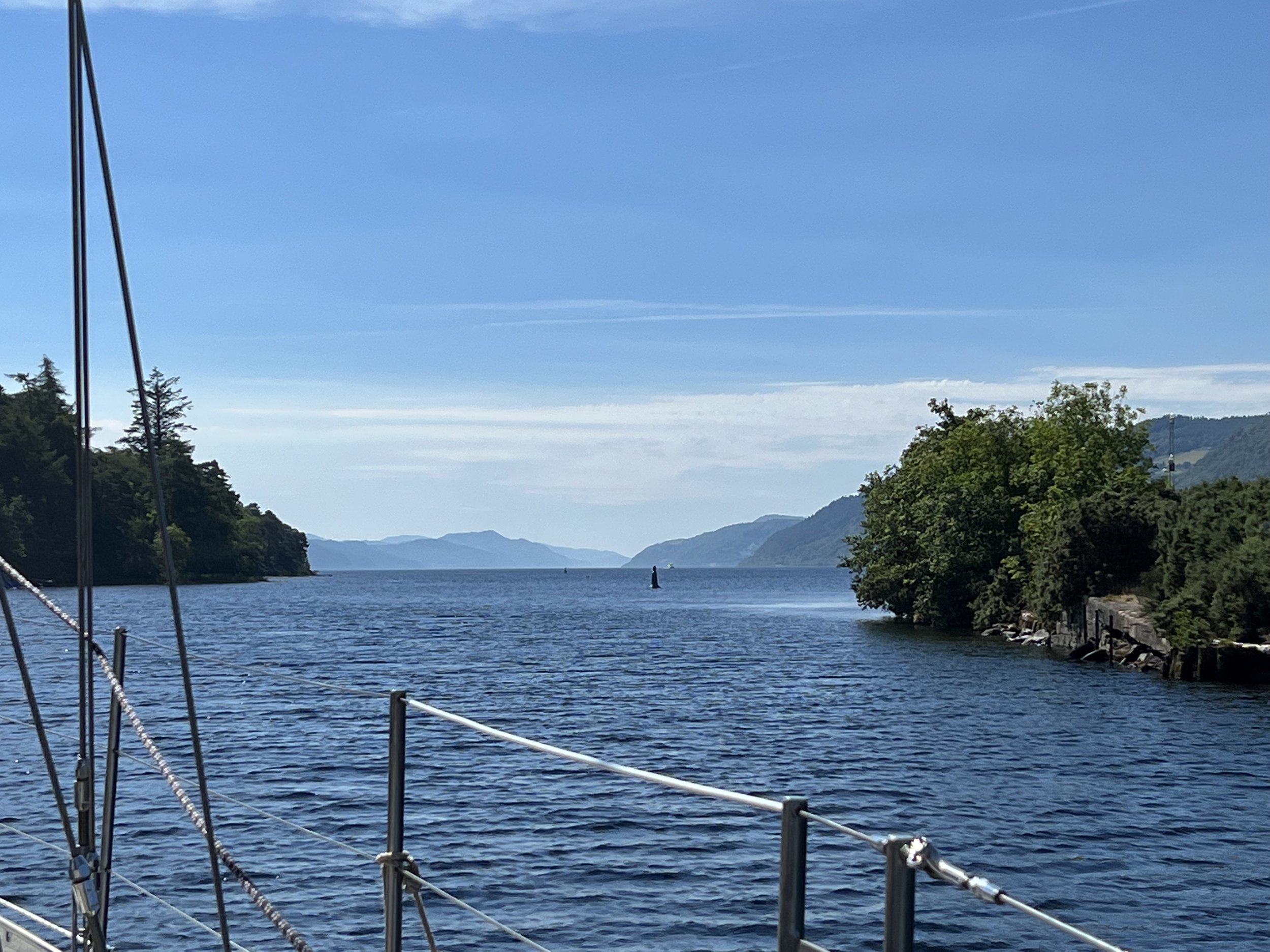
Before we knew it, we were at the entrance to Loch Ness
We quickly raised our sails and had a wonderful sail down the loch in near perfect wind. We had planned to stop at Urquhart castle for the night, however the wind was from the north and gusting quite strongly at this point, the loch is extremely deep just feet from shore and there was no safe place to anchor without being blown onto the rocks. We had to satisfy with a fly by and sail on south.
Half way down the loch, off the southern shore we discovered the perfect anchorage. It was not indicated on any of the charts we had. Just south of Foyers Bay there is a gravel ridge about 300ft from shore that was about 20ft deep, with water all around being 100ft or more. We set the anchor and watched the fog roll down the loch.
Fog on Loch Ness
The next morning was windless and the fog slowly cleared as we motored the rest of the way down Loch Ness to Fort Augustus.
Fort Augustus is a lovely town built up along the banks of the canal at the southern end of Loch Ness. We tied up to the pontoon and took a look around town. The weather forecast and ominous clouds indicated rain, but we were determined to stretch our legs, so we set off for a hike to get a nice view back down the loch.
Stormy skies over Loch Ness.
On our hike we met a lovely young German student, Antje, who we started chatting with. She was hiking by herself across Scotland, camping rough as she travelled. The stormy skies and gloomy forecast lead us to invite her onboard, at least for dinner. She was such good company she stayed with us two nights. That evening we had a party onboard Helacious along with the Moondance crew, showing off our mackerel smoking skills and the next day set off down the canal with Moondance close behind.
We stopped in Loch Oich and tied up to the sketchy pontoon allowing us to explore Invergary Castle and the grounds of the old hotel. The castle was in pretty bad shape, merely a propped up facade, but the mature woodland around and the old buildings of the hotel made the stop worthwhile. The evening was spent on Moondance, drinking G&T and playing guitar.
The next morning Antje jumped ship to Moondance who were pressing on through to the end of the canal, while we wanted to enjoy the countryside a little more and go for a good hike. We parted ways at Laggan at the head of Loch Lochy, the highest point on the transit, where we tied up and spent a quiet evening onboard.
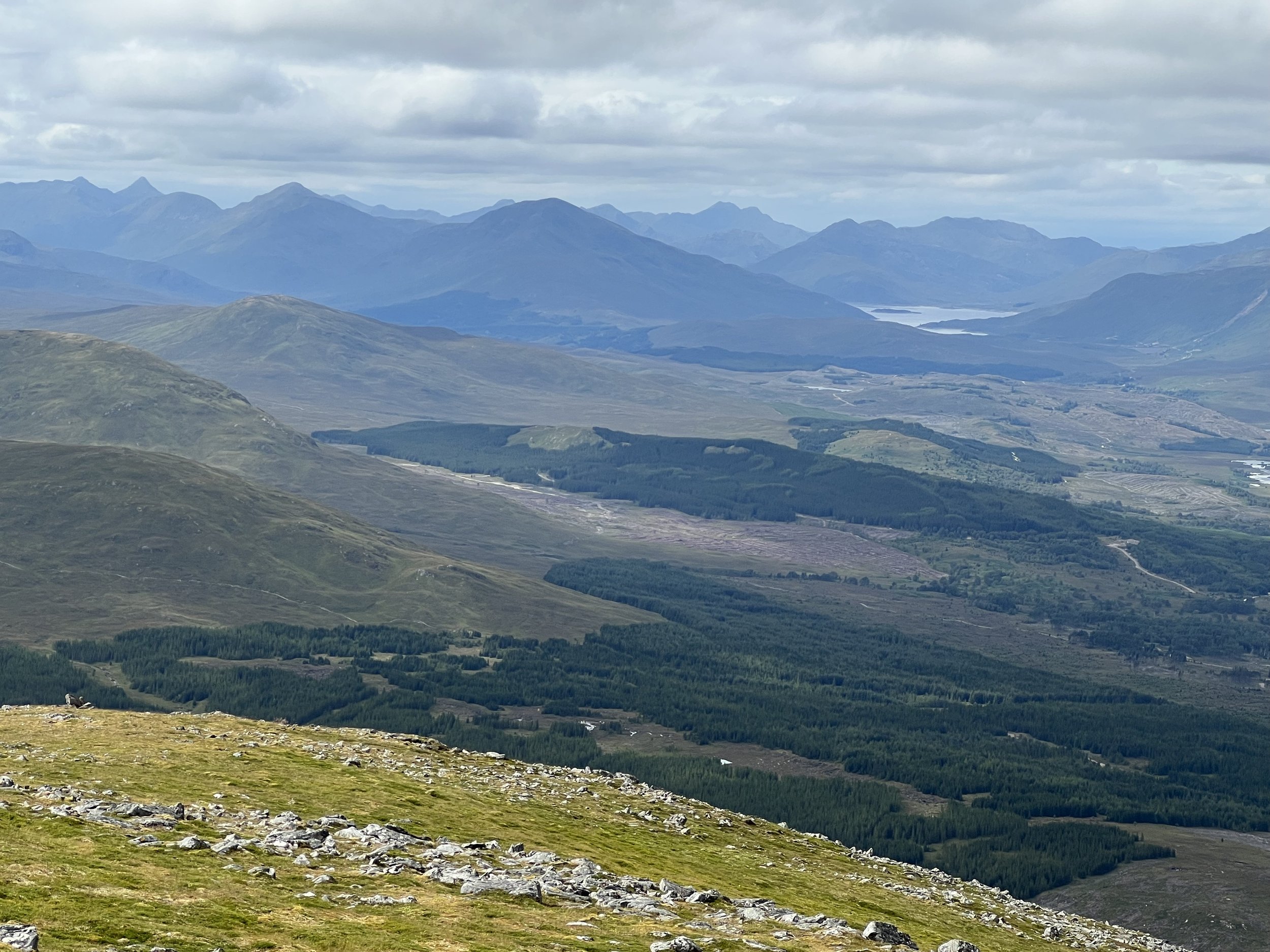
The next morning the skies were clear and we had wonderful weather for our hike up Ben Tee, at 2966ft, it was almost a munro, so good training for our future family gathering in September.
The view from the summit of Ben Tee
The highlands begin here, looking north from Ben Tee.
Loch Lochy was the last loch in the Caledonian canal, from here it was canal all the way to the top of Neptunes Staircase at the western end of the canal in the small town of Banavie where there were 9 locks in series named Neptunes Staircase, followed by the final sea lock at Corpach. We left the Caledonian canal just as the heavens opened and we were treated to near white out conditions on our sail south toward Oban and a rendevouz with Supertramp.
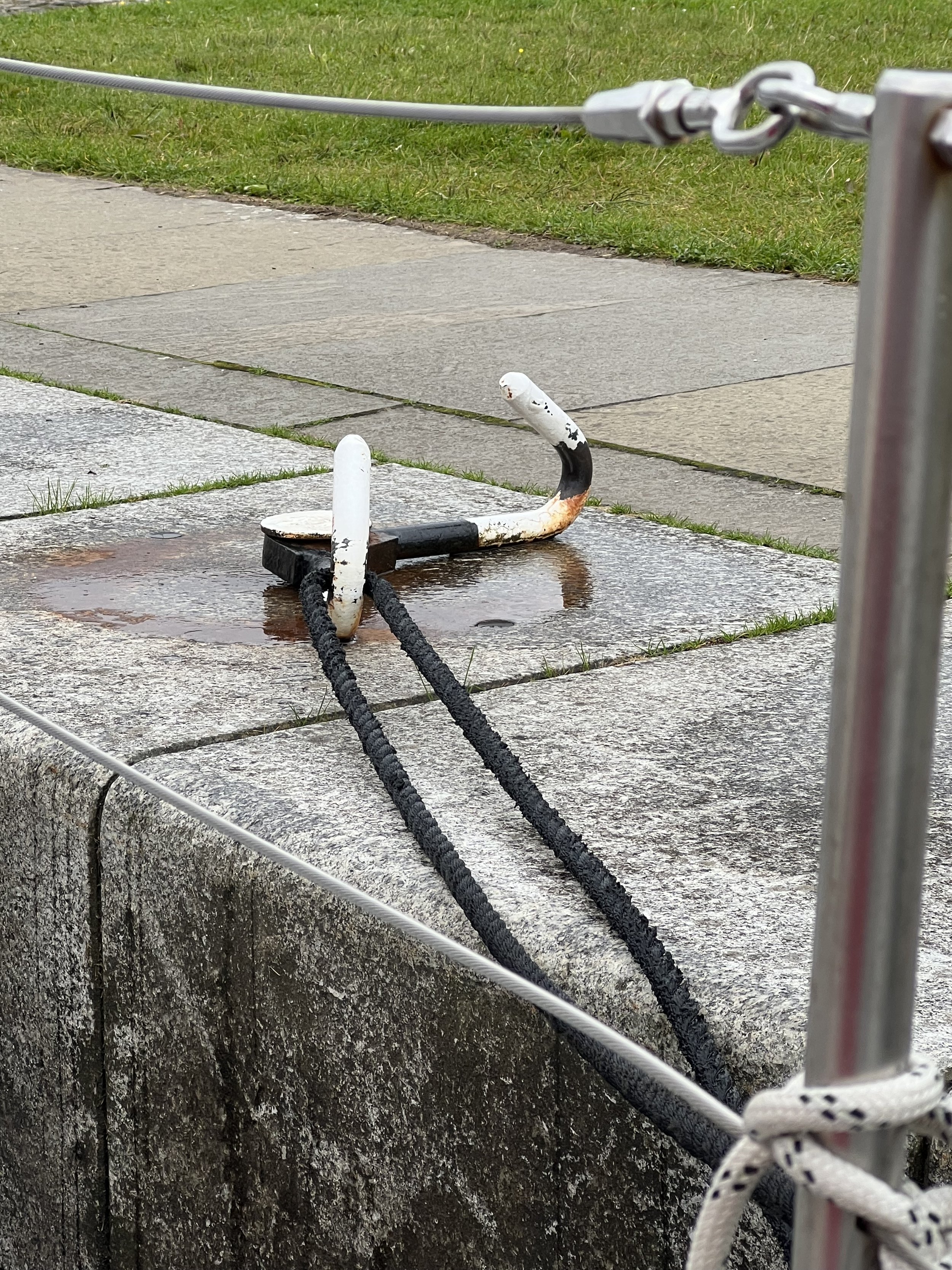
The zen like process of descending in a lock, Neptunes Staircase, Caledonian canal.
Brian has made a video of our transit, you may watch it on our “Adventures on Helacious” channel
https://www.youtube.com/channel/UC7IeMiNV6nOwDbC7PZjsNiw/featured
Bergen and North Sea crossing.
A maze of skerries at Søndre Ospesundet
We had a spot of covid onboard so recovering in this protected anchorage was perfect, along with a little fishing therapy. Søndre Ospesundet was one of those special places. Used in WWII to conceal the Norwegian resistance boats from the German navy, it was a maze to get in and out of.
Rocky anchorage at Søndre Ospesundet
On the way south we discovered a number of treasures, summer was at its height, the grassy meadows repolaced the snow capped mountains, the summer houses were full of families. The inlets were becoming more and more populated as we approached Bergen.
Bergen
Helacious found a berth, right on the quay in the center of town. We were surrounded by tourists and restaurants, but suprisingly it was not too loud at night, it was a very pleasant stop.
The warehouses of Bryggen, now a UNESCO world heritage site, were interesting but full of shops and restaurants. We preferred the back streets and more local flavor of the city.
A maze of rooftops in Bergen.
After Bergen we continued slowly down the coast, waiting for a weather window where we could make the crossing of the North Sea to Scotland. It took a week of waiting, and we were getting anxious as we had commitments in Scotland and still so far to travel. Brian continued to investigate the Norwegian electrical grid. Finally we were anchored on the tiny island of Røvaer determined to leave the next day. The seas outside the harbor were rather lively but still we departed the next day under overcast skies.
Leaving Røvaer.
Trondheim and foul weather.
Warehouses along the river front in Trondheim
We arrive in Trondheim in cloudy and blustery weather. The marina is quite large, but full of local boats and there was one last visitors spot we managed to squeeze into. It was not our favorite marina, enough said. The following day was glorious sunshine and we went on a walking tour of this wonderful city. It is Norways 3rd city, and although the suburbs spread out, the historical center is compact, surrounded on three sides by river or canal and is eminently walkable. In fact there was a well marked trail around the city that we followed.
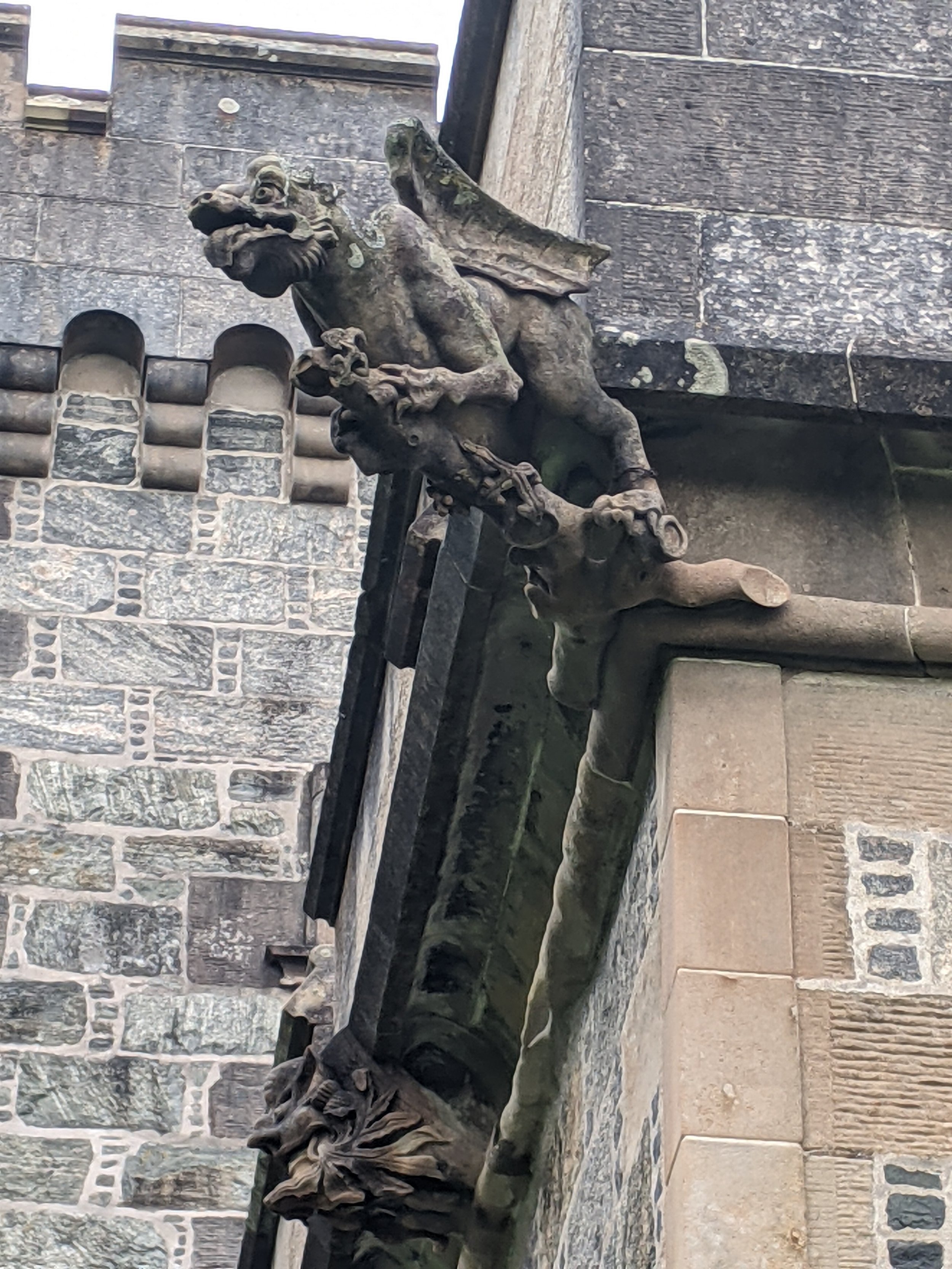
Nidaros Cathedral, originally started in 1070, has suffered many fires and been rebuilt a number of times, the latest completed in 2001. The finished product is spectacular. The wonderful carvings on the exterior, threatening untold horrors for the unbelievers. The soaring nave with its incredible stonework was so beautiful and graceful. The modern metalwork was in keeping with the original and to an extremely high standard.
Our guests arrived and once onboard we set off. The clouds descended and the rain started, and rarely let up for the whole week. Still we did not let it dampen our enthusiasm, we fished, we hiked, and we crocheted.
The hikes got pretty soggy, but we were well equipped. We spotted otters, eagles and caught some dinner. We escaped the charging herd of sheep and found the worlds largest ant nest. It was a good week.
After our guests left, we moved on, westwards now, back past Ålesund and toward the notorious headland of Statt. This is a exposed offshore passage that is so dangerous, an escort service is available for small vessels. They are also considering building a tunnel through the headland for cargo ships to be able to avoid this stretch of water, plans are still in discussion. We therefore took it quite seriously and waited a couple of days before heading off. Our passage turned out benign, infact the winds were lighter than we would have liked and we had to motor.
We passed down some magnificent sounds and spent a rainy few days in Florø. By now we had turned the corner and were heading south toward Bergen.
The arctic plunge
Yes she did!
Travelling south we stayed in some lovely spots, too many to list. The winds were still contrary, so there was a lot of motoring. We stopped in Bødø and stocked up, not least on some aquavit for the liquor locker.
Work boats in Bødø
We were approaching the arctic circle latitude, time was running out for Helen to take the plunge in arctic waters. Finally the day was deemed warm enough, and she jumped in…. and straight back out-elapsed time 12.2 seconds.
On Støtt there were the remains of German WWII fortifications and bunkers which were built by POW labor. We explored the tunnels and cannon mounts overlooking the straits. This area was quite active during the war as the Germans tried to prevent fuel and steel supplies from reaching the Allies, shipped from Russia via Narvik to the north.
We make a detour to an outpost island. Myken has a population of just a few dozen, but it has reinvented itself with the opening of a whisky distillery in the abandoned fishing warehouses. We arrived just as a tour was starting, so tagged along. The tour guide was so kind, he explained everything in Norwegian for the majority of the audience, then did it all again in Engish, just for us.
One of the four whisky stills on Myken
We did not stay for the tasting, a quick check at the price list indicated the product was not in our budget, besides we were heading back to Scotland. We left Myken and sailed south in the search of puffins.
Hetmannen (the horseman from the Norwegian legends)
Lovund, an isolated island far off the coast is the home of one of the worlds largest puffin colonies. We were right in the middle of the season when they were nesting on the island so we had high hopes of seeing some puffin action. The pontoons were snug at the base of the mountain and a brief walk around town indicated it was a thriving community, the main income appeared to be support of the fish farms.
The northern slope of the mountain was a designated protected area, the puffins made their nests in the spaces between the rocks on the steep scree slopes. Unlike the nesting site on Lunga in the Treshnish Islands of Scotland, where you could walk amongst the burrows and nests, here we were not allowed anywhere near the birds. It was frustrating to see the tiny specks flying back and forth, out to sea to fish, and not really see anything.
Lovund.
Time to hurry south. We begin to revisit some of the places we passed on the way north. The Seven Sisters range as an example, this time in much better weather
The Seven Sisters
We pass through Rorvik and discover the Norwegian marina electrical systems, unlike most everything else in Norway, does not appear to be well maintained. Installing and testing our very expensive new isolation transformer, we think it blew up. We have sightings of pilot whales and one day of fantastic wind to push us south toward Trondheim.
Straumhamn
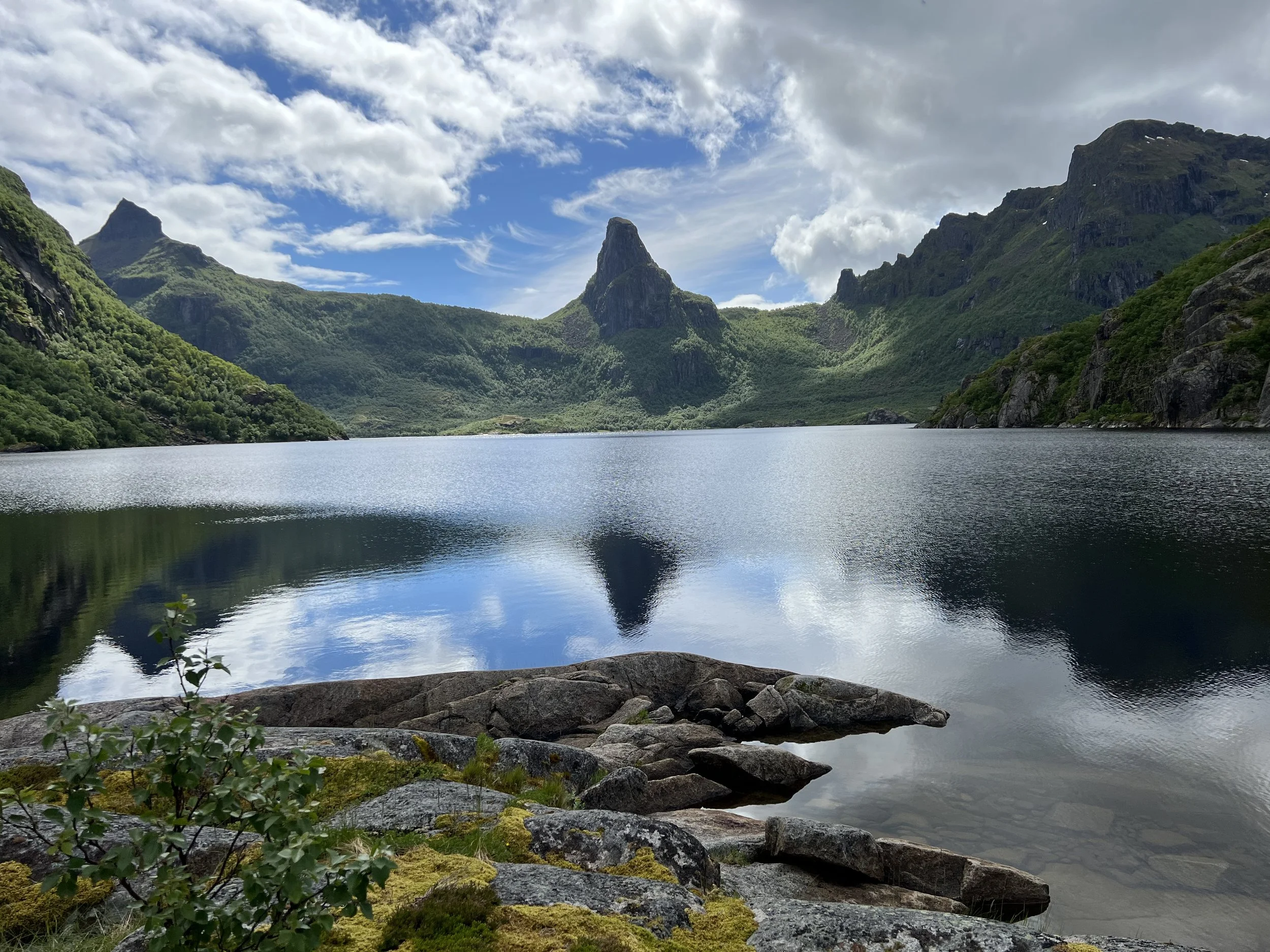
Fresh water lake at Straumhamn with Hammerskaft peak.
Straumhamn, on the mainland in the very northeast of Vestfjord deserves its own chapter. This was our turning around point and although we were disappointed with the weather we were getting in Lofoten, to discover this treasure and the fine weather we had for the few days we were there, made for some great memories.
We approached in stiff winds, but once inside and at anchor the late evening sun shone on the surrounding hills. The anchorage off a beautiful sandy beach was a little tight and we put out lines to the rocks to prevent us swinging around. The views back to the west of the Lofoten, clouds now lifted, were stunning.
Helacious safely at anchor with lines ashore. Lofoten range in the distance.
We explored the area; the seawater inlet is separated from a freshwater lake by a narrow isthmus. The freshwater lake is only about 10 feet above sea level. In the valley beyond we spotted our one and only reindeer.
Mussels on rocky islet.
We ate well, the few days we were in Straumhamn. We found a small rocky island, just downstream from the freshwater lake outlet that was covered in mussels. They were concealed beneath heavy curtains of seaweed. Brian went fishing and cought not one, not two, but FOUR cod. Our freezer was full.
Before we knew it the calender indicated it was time to get going. We had to be in Trondheim by July 13th, 500 miles to the south. We had been told that after June the winds traditionally blow from the north, which would make our journey south a pleasant sail. This year, possibly due to the extreme heat wave in central Europe, the weather patterns were quite different. We never got those north winds and our journey south was a hard slog.
Lofoten, land of cloud
Reine, Lofoten
Lofoten, the archipelago of islands arcing out into the Arctic waters are considered the best cruising ground of northern Norway. Remote anchorages and dramatic coastline with the most magnificent mountain scenery. This had always been our destination and the furthest north we intended to sail. A fine place to spend midsummer and enjoy the land of the midnight sun.
The reality was a little different. We arrived in thick fog and tied up to the pontoon in Sørvågen. The following day we walked to the end of the island where the road stops in the town simply named Å. Here we saw more of the cod drying racks, many now emptying of their load as the season was coming to an end. We visited the Tørrfisk museum, explaining the air dried cod industry, and learnt that much of the cod fished and dried was destined for the Portugese market. The heads, we saw later, were considered a speciality in Nigerian cuisine. The clouds hung low over the mountains as we made our way to the next town up the chain of islands, to Reine.
A couple of days later the clouds finally lifted and we could see the peak of Reinebringen towering over the town. The sun emerged and the raw beauty of this area was apparent. In the fine company of Peter (yes Supertramp Peter) we went for a climb.
Reinebringen is 615m (2000ft) and is a popular hike. The Nepalese craftsmen had been busy and the steps all the way to the top made it a manageable and safer climb than in the past. The sun stayed out and the clouds stayed away allowing us to enjoy magnificent views over the town and north east along the chain of Lofoten islands.
The following day we pulled up the anchor and sailed northeast, looking for a quiet spot where we could make water and do other housekeeping chores for a couple of days. We found the perfect spot in Strømøy, where Brian also managed to top up our fish supply in the freezer. The cloud returned and we moved on to another classic spot in Lofoten, Henningsvœr.
Henningsvœr looking toward Vågakollen.
Lake on the climb up Vågakollen.
The clouds descended again and the forecast indicated unsettled weather for the forseeable future. We realized we were unfortunately not likely to see the midnight sun under these conditions and in the time we had available, so we cut our losses and left the islands, heading back toward mainland. We would begin our journey south, retracing our steps but finding new places to explore.
Lions and eagles
Approaching Rødøya.
Why is it we look for animals and faces in our rocks? They are frequently rather obscure, but in the case of Rødøyløva, the mountain on Rødøy, it seemed so obviously a lion waiting to pounce…. or maybe an elephant.
We arrive at Rødøya with wind howling down the face of the mountain, once in the shelter of the bay it was a little calmer. We wandered around to the “town”, really just a small grocery store, church and few houses. The partially restored warehouses along the waterfront told of more industrious times. Along the modern quay we passed a building however that confirmed business was still ongoing, a shed full of bales of salted and dried cod waiting for export. We were astounded at the sheer volume of fish, little did we know of what we were to see later. Inspired Brian threw a line in the water after dinner, but no luck.
The following day the winds had abated a little and we climbed Rødøyløva. We were surprised to find the trail was extremely well maintained, in fact much of the climb up was on enormous granite steps, apparently installed by Nepalese craftsmen. The views from the top were spectacular; the skerries to the south west with Hestmannen and Lovund in the distance, Svartisen glacier and the snow capped mountains stretching to the north and east.
The view looking north from the summit of Rødøyløva
The following day we left Rødøya and made our way north toward the Lofoten. We had planned on a stop to top up our provisions in Bødø, the capital of Nordland, but the wind died and we decided our full freezer was probably sufficient. We anchored for a couple of nights on Fleina, a small island about 20 miles south of Bødø and waited for the wind to allow us to make the crossing of Vestfjord to Lofoten. The anchorage was just perfect, an almost enclosed lagoon, a wonderful hike up the hill over spongy mosses and huge slabs of granite.
The anchorage on Fleina
And then, high above, an eagle circled us on the summit of the hill.
Finally, to complete a perfect day.
Glacial beauty
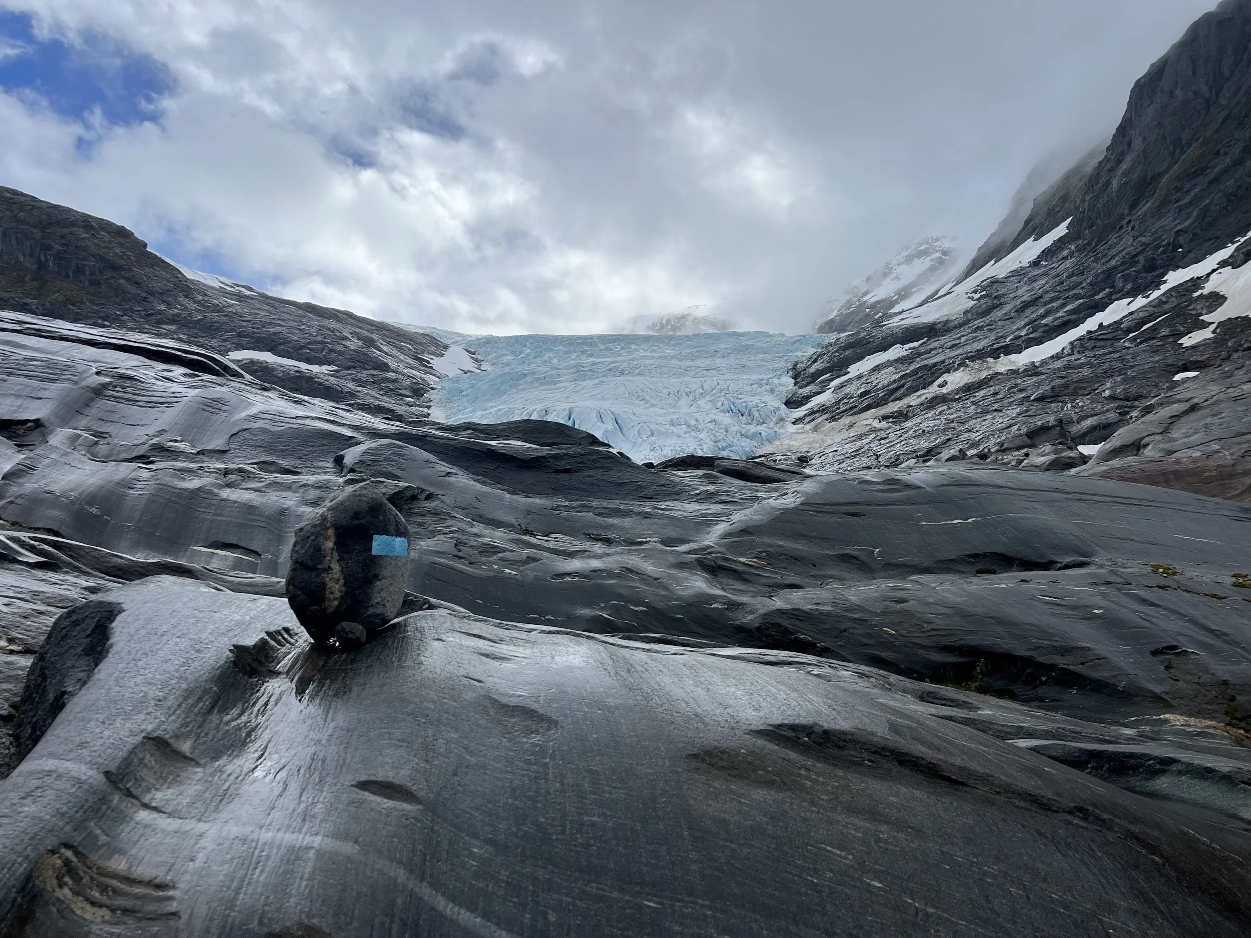
Svartisen glacier.
Svartisen glacier is the second largest glacier in mainland Europe and not to be missed. The best view and access was from the water at the head of Nordfjord. We could see the glacier capping the mountain range as we approached up the fjord. At the head of the fjord there was a pontoon with room for a few boats and not much else. A tourist launch brought daytime visitors, but in the evenings we had the glacier to ourselves.
The next day we set out joined by our friend Peter from Supertramp. The foot of the glacier was 3km from the lake, distances were deceptive as it did not seem to get any closer however high we climbed.
The hike over the terminal rocks was very interesting, so many different kinds of rocks, the colors and patterns were wonderful. I wish I knew more geology.
Inspecting the foot of Svartisen glacier.
And finally we were there. The size of the glacier was hard to believe unless you had someone in frame to act as a reference.
The color of the ice was an intense aquamarine, so clear as you looked deep into the crevasses. The ice was not solid, which was rather alarming, it seemed to be made of ice balls stuck together by pressure. Very easy to knock apart. There was no way I was going to explore any of the ice caverns at the edge.
The next day we explore the other side of the fjord, renting a bicycle to head around on the trail. We enjoy a hike up into an abandoned farmstead
Finally it was time to leave, we still had a long way to go to make our midsummer destination of Lofoten Islands. We left the Svartiesn glacier and continued the journey north.
Nordfjord.
Norwegian gods, trolls and arrows.
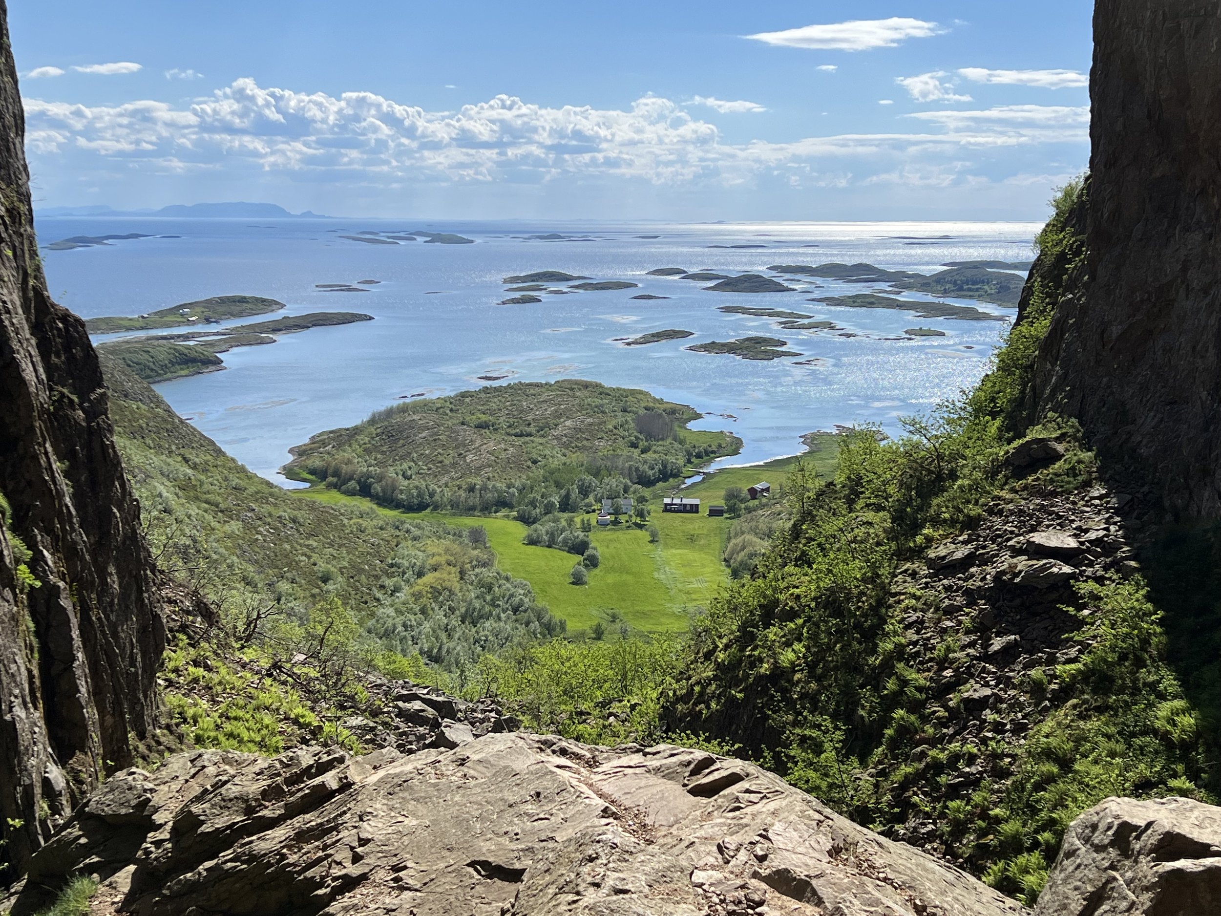
Torghatten
We make it to Rorvik, a forgettable town but useful due to its well stocked grocery store. A couple of days there was sufficient and we moved on to anchor again as soon as we could. The winds were light so we opted to motor just 10 miles to the first island north, Leka. It was here we learned of the Norwegian myths that describe many of the mountains and landmarks stretching from Leka up to the arctic circle.
In summary Lekamøya was hired as a chaperone for the seven sisters, the daughters of Suliskongen, the king of the mountains.. One day Hestmannen, the mighty horseman caught sight of Lekamøya and the seven sisters bathing and was consumed with wild passion. He leapt onto his horse and raced south. Lekamoya and the seven sisters fled, the seven sisters soon gave up the chase but Lekamøya ran on. Hestmannen only had eyes for her and once he realiszd he was unable to catch her, in a rage he drew back his bow and sent an arrow flying toward her. Nearby another giant watching the show hurled his hat into the path of the arrow to save Lekamøya, the arrow pierced the hat and Lekamøya ran on. As the sun rose all the trolls were turned to stone and there they still stand today.
Leka was in full bloom. The fields of dandelions and spring flowers were beautiful. We climbed the hills to the base of Lekamøya, a rather disappointing rock for all the fairytales. Still the view across the sound to mainland was nice. Back on Helacious Brian celebrated by taking a brief dip in the frigid water and we enjoyed the gift of a Norwegian flag and eagle feathers we found in our dinghy at the dock after our hike.
Sailing north from Leka we arrive at Torghatten, the hat with the hole from the legend. Indeed the view from afar was somewhat hat like, although we could not see the hole. We climbed the hill and finally a huge cave was revealed. It did indeed pierce the mountain, the views in both directions were splendid.
View north from the Torghatten anchorage.
From Torghatten we sail on north toward the arctic circle. We spend a blustery couple of days in Tjøtta then pass the Seven sisters, unfortunately shrouded in cloud. We would get better views on our way south. The coastal scenery was getting more and more impressive the further north we went.
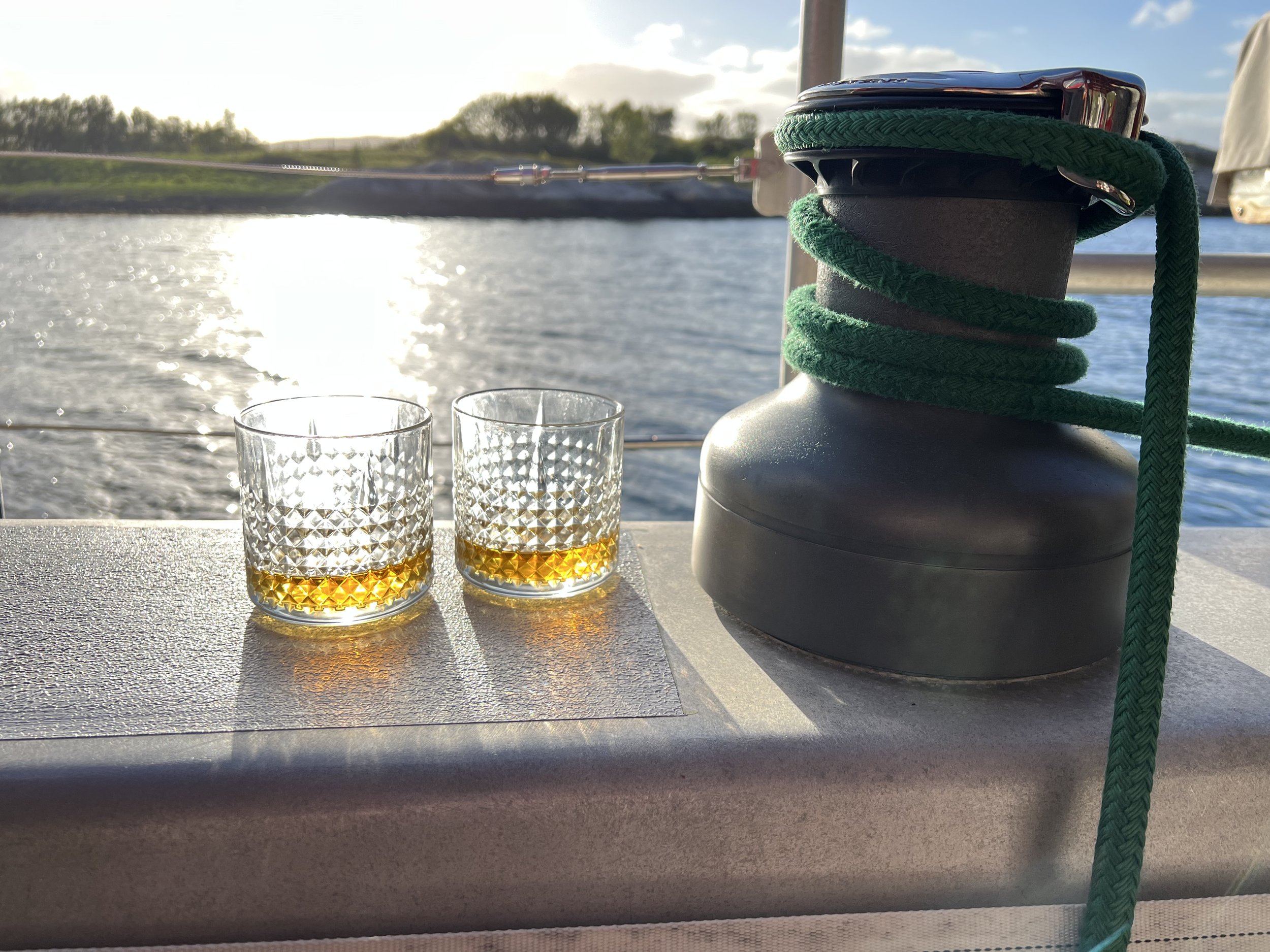
Finally we arrive at the arctic circle . A monument on the small island of Vikingen marks the correct latitude. We celebrate with a wee dram as we watch the sun set over Hestmannen.
Skerries skerries everywhere.
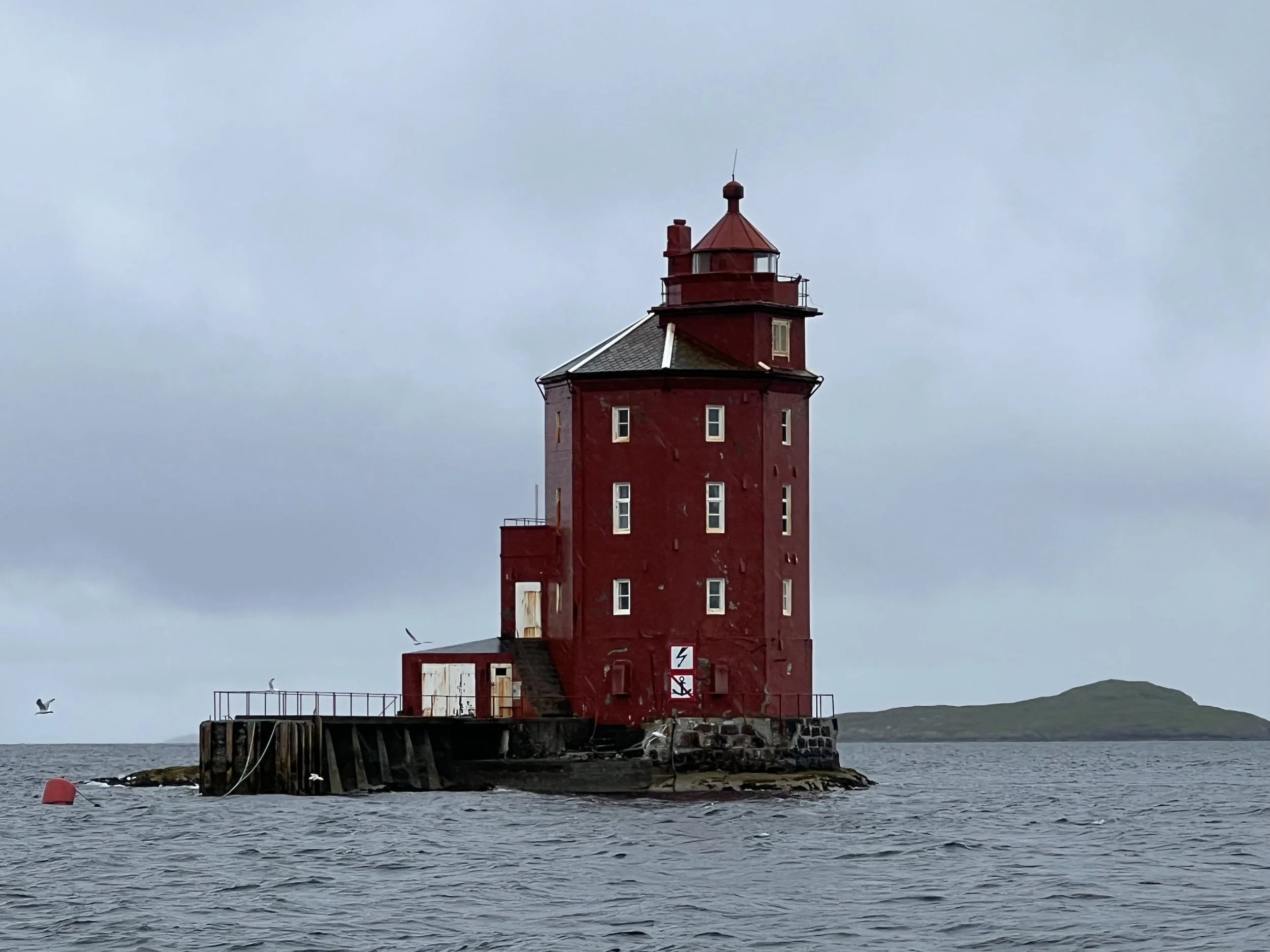
Lighthouse marking entrance to Sandøya.
Moving north and west along the coast past Ålesund we stop at Sandøya, our first experience of a fishing village in the skerries. We check the weather conditions for passage through Hustadvika, a potentially dangerous exposed rock and reef strewn passage with no safe havens for 30nm. The weather looked benign, and indeed we had to motor most of the way to our overnight anchorage at Golmsundet, just past Kristiansund. As we sailed along the sheltered waters of Trondheimsleia we passed many and varied lighthouses and enjoyed the vistas of mountains to the south. But we were heading north and we sailed on, Trondheim could wait for the return journey. We had a wonderful sail up to Stokksund where we tied up to the pontoon and spent a couple of days. We reprovisioned, discovered the washing machine with the longest cycle (it must have taken 2 hours to complete, not sure what setting I put it on, the instructions were all in Norwegian). We also saw our first dried cod and began to see the paint theme of barn-door red.
Sailing on we had good winds and opted to sail offshore heading for Rorvik. However it took a little longer than we had planned. We therefore diverted to a fishing village in the isolated skerries just to the south. What a treasure. We wander into “town” to pay our pontoon fees and are treated to a personal tour of the island store and museum. We learn that in its heyday, Sørgjaeslingan had a population of over 6,000 during the cod fishing season but now the remaining buildings are seasonal holiday homes. We see the kittiwakes roosting on the cliffs and sides of buildings, what a racket they make at sundown. After dinner we take an evening stroll over the neighboring islands and enjoy the late evening sun.
An aerial view of Sørgjaeslingan and the skerrie maze to enter.
View of Sørgjaeslingan on our evening stroll.
Norway land of fjords
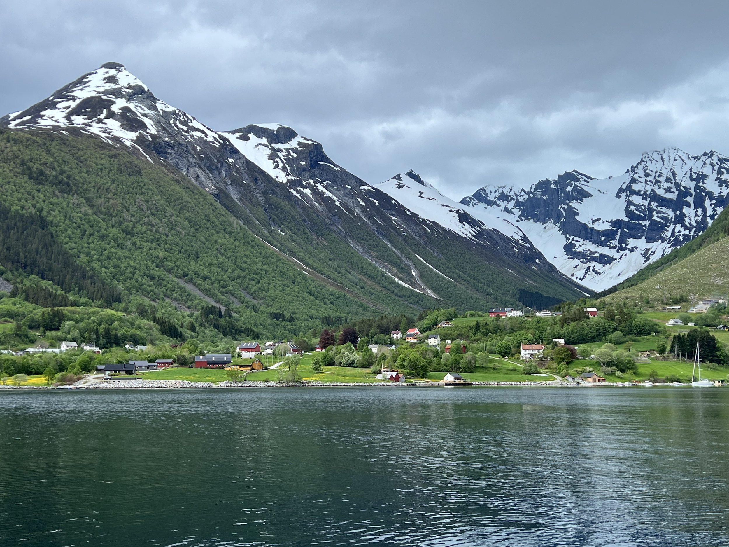
View down Norangsfjord from Øye.
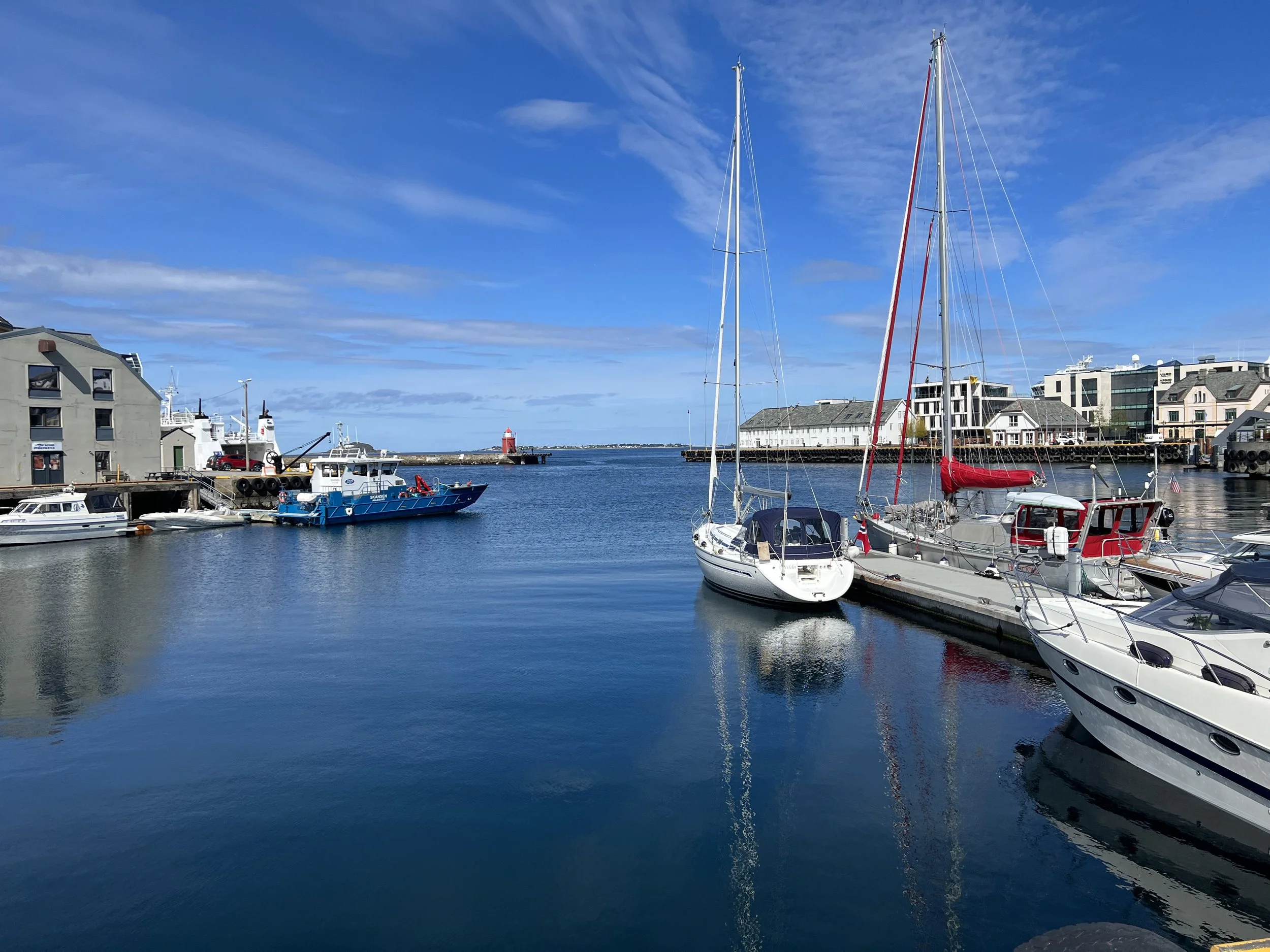
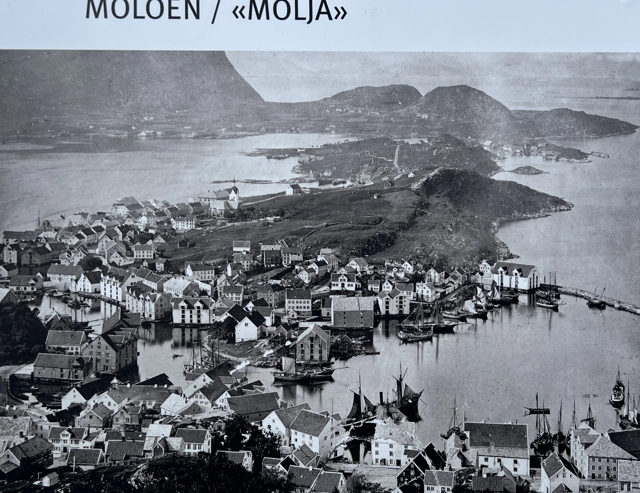
Crossing the North Sea was not as bad as we had thought. We encountered heavy fog but managed to avoid the fishing fleet and oil rigs, arriving in Ålesund after a 27 hour passage in the early evening. After a very relaxed check in at the police station the next day we explored the town. Ålesund is built up on a chain of islands and the small marina is right in the center of town. The buildings are quite different from any other Norwegian town, having been rebuilt in Art Nouveau style over 3 years in 1905 after a major fire destroyed the town center. The old lighthouse on the harbor wall had been incorporated into a local hotel as the “honeymoon suite” and we saw that pixies still live here, the evidence being a pixie sized garbage can waiting on pavement. The view from the top of Mt Aksla showed how the town was fitting into available space and from old photographs, how it had spread. The walk along the spine of the main island of Nørvøya was lovely with spring flowers and stunning views of the mountains and fjords to the south.
After a couple of days in Ålesund we leave to explore our first fjord. The most famous, Geirangerfjord, was to the south of Ålesund, but was 52nm of travel to get there, it also was likely to be full of cruise ships and tourists (not like us!). Instead we chose to visit Norangsfjord and the settlement of Øye at its head. This was equally stunning scenery and by virtue of a 13m bar across the fjord, was inaccessible to cruise ships. It was May, and still spring in Norway. The mountains were capped with snow and the waterfalls were full of meltwater. The journey in was only 29nm, but with the wind against us and swirling down the mountain sides, it took all day to motor to our destination.
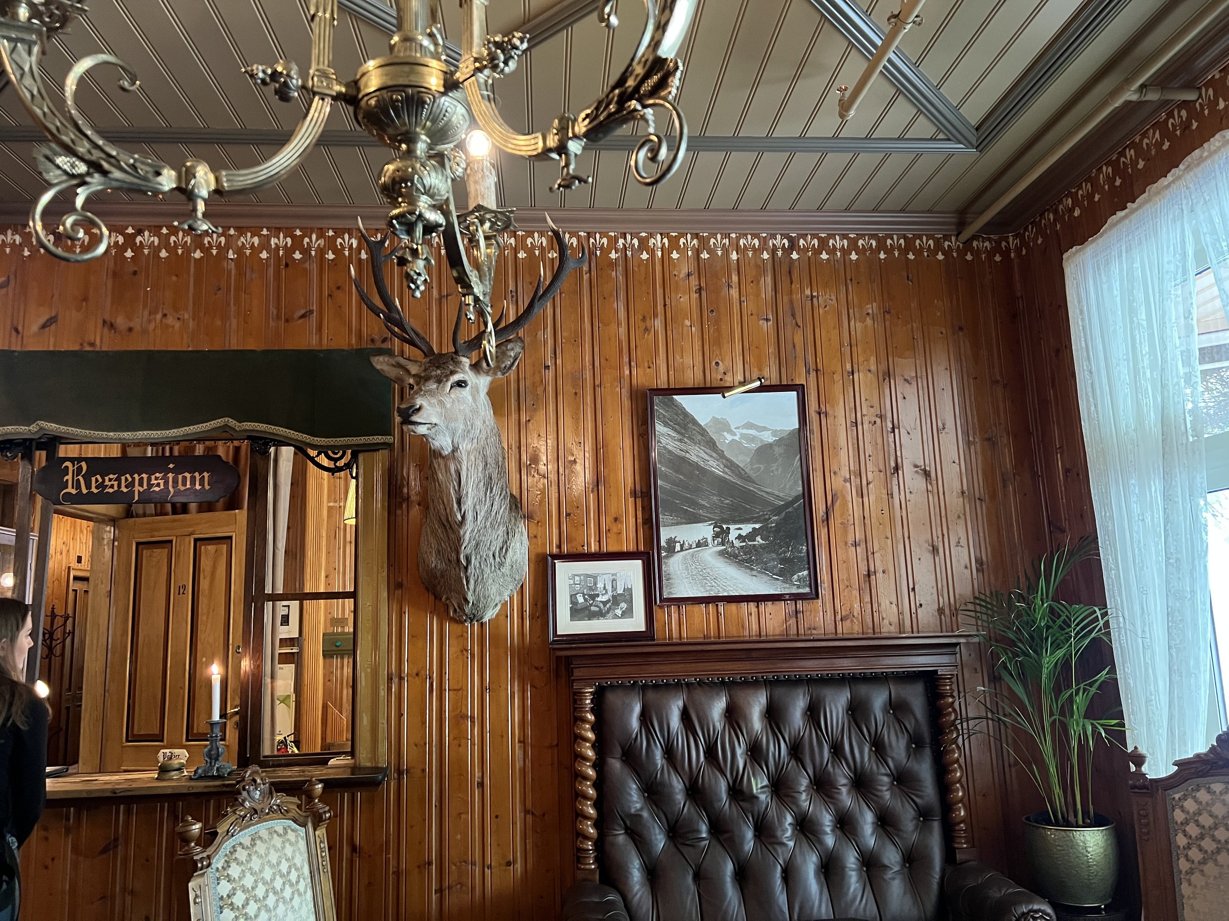
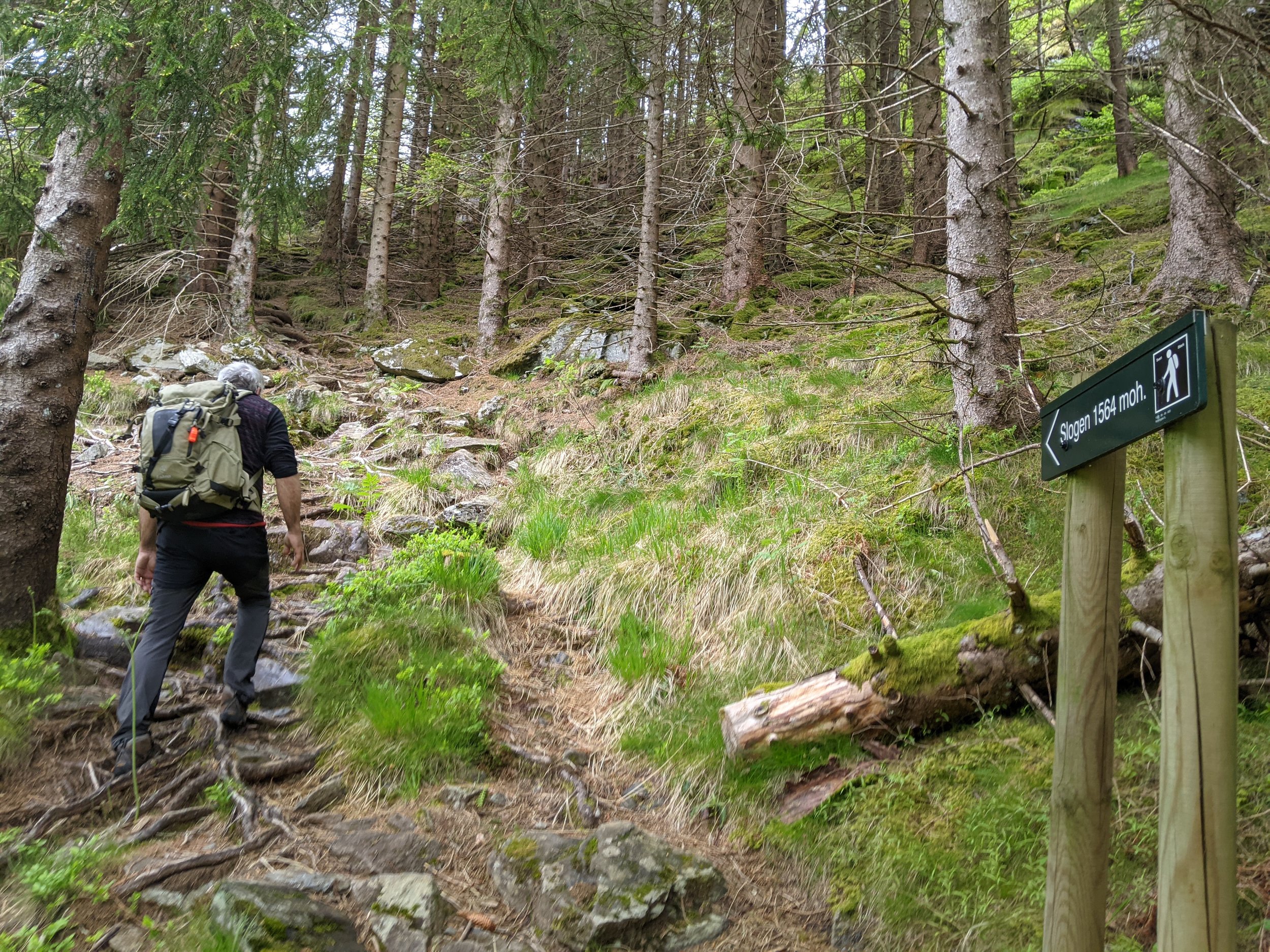
We were joined at the dock in Øye by Peter and Finn on Supertramp and the next day hiked the mountain Slogen, rising high above Norangsfjord. We first passed the Union Hotel, built in 1891 and visited frequently by Kaiser Wilhelm II in his steam yacht in the early days of toursim, it looked like the decor had not been touched since. The hike was incredibly steep, but we were rewarded with the most amazing views. We were unable to reach the summit as unstable snow packs blocked the trail, probably for the best.
Helacious and Supertramp at Øye pontoon
We had dinner onboard Supertramp, enjoyed the sunset, tall tales and good company. The next morning we left and began our journey north.
Heading north to Orkney and Shetland
Vatersay Bay
We head out from Oban, up the Sound of Mull and across the Minch to the Outer Hebrides. We have a fantastic sail, using the code zero and accompanied by a large pod of dolphins for over an hour. We land on the southernmost island, Vatersay and anchor in the large bay, just off a beautiful sandy beach. After a couple of days on Vatersay we go around the corner to Bara and tie up to the pontoon in Castlebay. Here we stock up on a few items, walk up the hill overlooking the bay and Kisimul castle, stronghold of the MacNeils.
We retraced our path up the Outer Hebrides, stopping just for an overnight stay on Ronay in a rocky but protected pool. The next day we got an early start to catch the tides and wind and made a run all the way up to Stornoway. Here we spent a couple of days to wait out some bad weather up north and then when the forecast looked favorable we set out for Orkney. Unfortunately the wind died on us just past Cape Wrath yet the large seas remained. The worst combination and the Captain felt a little peaky. We finally made it to Stromness and tied up to the dock. The next day we went exploring and discovered a beautiful town, caught in a 1950’s time warp. The narrow paved roads, quirky buildings and a wonderful art museum with connections to the Tate. There was also a lot of nautical history scattered around town if you looked.
We rent bicycles for a day and take off to explore the prehistoric sites of Orkney. We start off at Yesnaby Castle, a rock stack on the west coast. We cycled further north to Skara Brae, a 5000 year old Neolithic settlement. There was a recreation of what the dwellings were like and then the excavated ruins themselves, complete with stone dresser and bed. It is amazing to think this was inhabited 3000-2500BC. No rest, onwards to the Ring of Brodgar. We realised then that the wind, which had been on our backs was quite strong, necessitating us to cycle while going downhill! The final stop at the Stones of Steness completed our visit on Orkney.
Yesnaby Castle, a rock stack off the west coast of Orkney.
Dwelling at Skara Brae; large bed on left for male, smaller on right for female. Dresser facing entrance to room, firepit in center.
We move on after a storm passes across The Hole, a treacherous area of turbulent water, to Shetland. We anchor in Levenwick Bay and recover from a difficult sail, the strong winds and an accidental gybe caused us to break a sail car We spend a couple of days here, walking in the hills where we met John Sinclair, a local shepherd who invited us into his home for a cuppa. We learned about the Shetland sheep, his sheep dog Tess, and his life as a merchant mariner. We then move on to the main town of Lerwick and tie up to the pontoon.
Shoreside graveyard in Levenwick Bay.
On the way to Lerwick we stopped to visit the Broch of Mousa, the most complete and best preserved of all the Iron Age round towers found in Europe. It is though to have been constructed in 100BC and is one of 500 built in Scotland..
In Lerwick we stock up and finally find a place to fill up our propane. There is a shortage in the UK and we know there will be problems refilling in the European countries, so we are very pleased to have two full tanks. We discover there are strong ties between the Shetland Islands and Norway when a flotilla of Norwegian boats arrive to celebrate Norway independence day. Their numbers were a little scant so we volunteered and before we knew it we were marching through the streets of Lerwick waving our Norwegian flags.
We had previously seen a couple of these “boat” sheds, and were interested to chat with the creator of a particularly fine example, made with love for his wife, for her gardening tools. We also make friends on the dock with Alan, who we had initially met in Orkney, and Peter, an Australian sailor who we would meet again on our travels north.
Back in the water
Helacious waits in the slings
We had spent the winter of 2021 back at home in the USA, but it was now April and we were ready to get going again. The weather was still quite cool but we had a few sunny days as we got Helacious ready in the yard for the relaunch. We checked the rigging, made a taller waterproof vent pipe for the composting toilet, attached the repackaged life raft to the stern rails and checked out the new electric motor for the dinghy. Inside the boat we started the install of the new isolation transformer and had a refridgeration guy come and top up the coolant in the freezer. It was giving us problems, and would continue all summer.
Finally after a week of work we were ready to leave our winter marina at Ardrossan and make tracks north. We quickly retraced our path around the Mull of Kintyre, anchored at Gigha and in the sound of Jura arriving finally at the anchorage Puilladobhrain on the Isle of Seil.
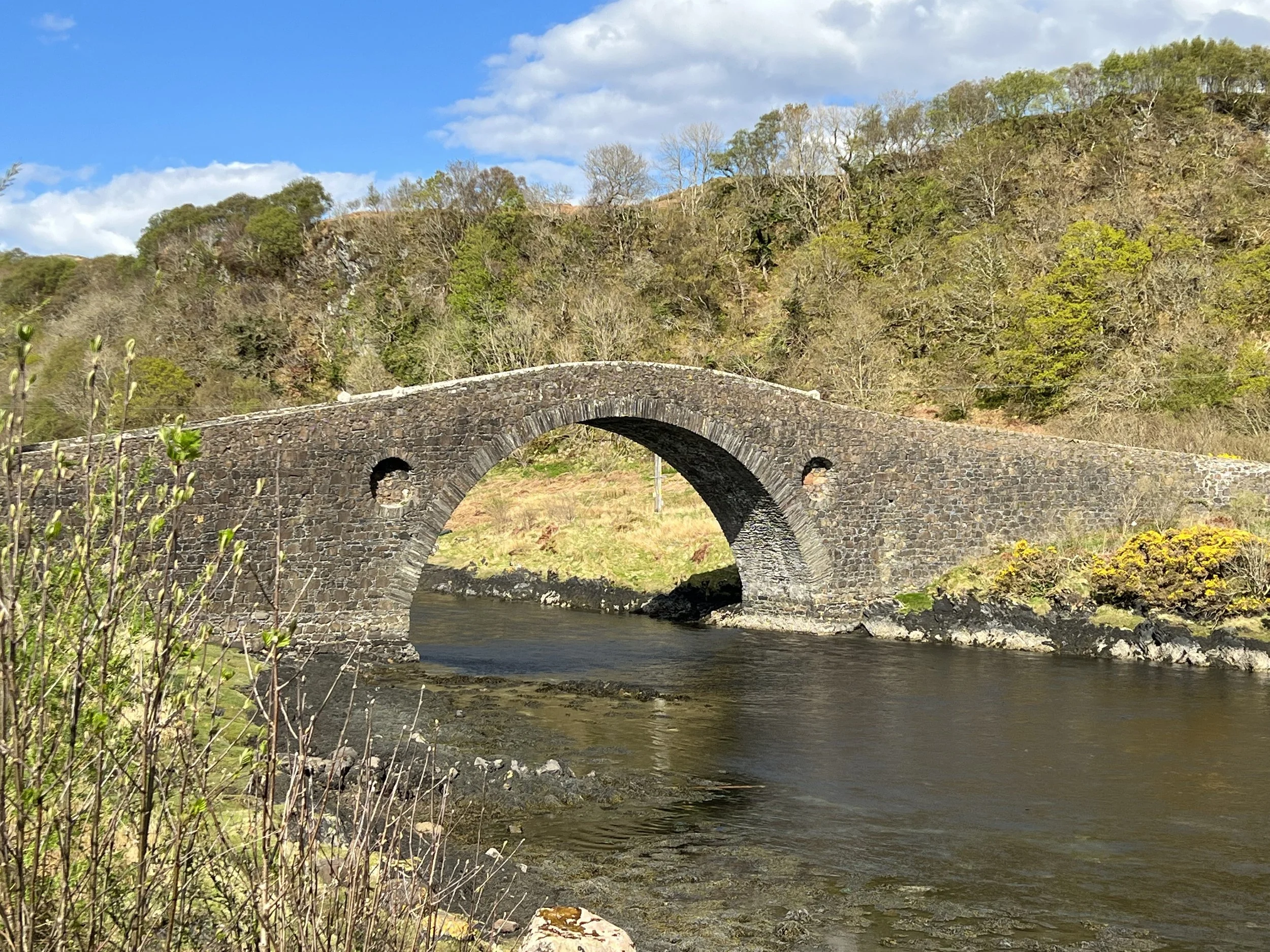
The bridge across the Atlantic, Isle of Seil.
After a great hike on Seil and a refreshing drink at Tish-an-Truish we head up to our favorite town in Scotland, Oban where we spend a few days at Kerrera marina, getting ready to head offshore. We fill up on mussels at The Green Shack, and buy some scallops from the divers on the dock at Kerrera. Cannot get fresher than that.
Birds of Lunga
Lunga is part of the Treshnish Isles, located about 4 nm west of the western coast of the Isle of Mull in Scotland’s Inner Hebrides. Puffins return here every year from their life at sea to raise their young. We arrived just after they had left their ground burrows and had returned to the water. There were also a great many terns, gulls and cormorants, as well as very melodic seals on some distant rocks. Some of the beautiful creatures did not survive their journey, but I think their remains deserve memorialization.
Sunsets at Sea
Helen made a sunset picture every day on our passage to the Azores.
Click on the first picture for the large image lightbox.
Ilhos dos Faial, Azores
After 17 days at sea that moment when land was sighted is an indelible imprint on my brain. Maybe this is why mariners have endured the rigors of the sea for so many centuries-the rush of dopamines resulting from the thrill of accomplishing a rare feat or performing well in a sport or art, is addictive. And, with sail cruising, the rewards continue with the pleasures to be found exploring the new places one visits.
Landfall at Horta on the island of Faial, one of the nine in the Azores archipelago spread over 300 miles, was magical. It appeared out of the mist about 7 miles away and slowly revealed itself as we worked along the coast to the harbor. The highest peak was shrouded in the clouds and we could see nothing of Pico 10 miles to the southeast. The wind was brisk and cool and occasional rain squalls moved through. Our first stroll around town and to the nearby park prompted a mixed feeling of comfortable familiarity with the old European-style architecture and fascination with the exoticism of the foliage and landscape.
The Azores are volcanic islands at the junction of three major tectonic plates. Volcanism is still active and Faial experienced an eruption in 1957 that led to the immigration of 4000 people to the United States. The volcanic soil is rich and fertile and plants abound. The non-native blue hydrangea is ubiquitous. Because of the low ph of the volcanic soil and high aluminum content their blue is especially vibrant. Nasturtiums, morning glories and myriad other flowers were in bloom along the roads and trails.
And there was cheese! And seafood in abundance. One of the disappointments I felt in the Caribbean was the lack of available seafood. And cheese, as outside of the French islands which we couldn’t visit, dairy products are not a major part of the locals’ diet. And the Portuguese red wine for 3 euros was entirely satisfactory.
The low pressure system and its overcast skies was replaced with the Azores high.Blue skies and brilliant sunshine predominated for days. We walked and walked and walked, sometimes hiring a car to explore the far side of the small island. We spent 17 very civilized days on Faial before moving 15 miles to Isla Sao Jorge. I think I could easily adopt Horta as a second home, but the world awaits. Perhaps one day we will return to this magical, friendly island in the middle of the Atlantic Ocean.
The famous Azores Blue Hydrangea grows in hedges along the roads and stone walls.
We hiked around the rim of the Caldeira volcano with our pals Michael and Jill from SV Gerty. The wind accelerated across and down the crater, blasting at 30 knots along the leeward rim.
There are many churches in Horta, all with slightly different timing for their bells. Despite the churches being all done in black and white, many other structures are painted in bright colors. The old town streets are very narrow, with doorways opening right onto the sidewalk.
All of the sidewalks in old town Horta were made of mosaic stone, with different patterns on each section. What an improvement this type of small detail makes in the quality of the urban experience!
Food! The seafood selection was remarkable in Horta, from dried salt cod to fresh limpets, octopus and many strange looking fishes. We randomly selected several fish to cook aboard and they were all tasty. Azorean beef is also highly touted, as well as their delicious soft cheeses. As most of their food is locally produced it was reasonably priced, a welcome surprise.
Vulcao dos Capelhinhos formed acres of new, raw land in 1957. The west coast of Faial is spectacularly rugged-but with swimming pools worked into the volcanic rock!
Strolling around the local environs…
Helacious was rafted three deep on the wall between a messy semi-permanent French kid-boat and various pleasant folks on the outside. There were boats from all over the world, all ocean sailors, none of whom were very interested in us! The walls around the Horta Marina are famous for their graffiti from decades of transient seafaring yachts leaving their mark. We found a newly constructed section of wall to add our dragon. We look forward to returning one day to touch it up.
Passage to the Azores
Our weather routers urged us to get moving out of the USVI, otherwise the high pressure to the east would continue to build and we would have little to no wind for the foreseeable future. On the morning of April 29, already prepped and ready, we pulled up the anchor in Brewers Bay, made a pit stop for some fuel and set off on an 18-20 day, 2500 mile adventure to the archipelago dos Azores, 800 miles west of Portugal.
The seas north of St. Thomas were confused and choppy and the wind brisk as we pointed the bow north. Winds around 20 kept us moving smartly, but the boat motion was irregular and we needed to regain our sea legs. By the third day the wind was dying. We sailed briefly with the Code Zero, but at 1400 the breeze failed and the engine came on. Drifting was not really an option as the high we had entered was predicting to expand northward, so we needed to escape the doldrums. Historically this area is referred to as the Horse Latitudes and the Sargasso Sea. The sailing ships of old had no engine and sometimes were becalmed in this area for so long that the water supply ran low. Horribly, the horses carried onboard were sometimes sacrificed overboard to conserve drinking water for the crew. Floating yellowish sargassum weed abounds here as well with apocryphal tales of ships being entrapped by vast mats of the stuff. We found plenty of sargassum, but never enough to slow us down. It did tend to foul the prop, so before engaging forward gear we learned to reverse briefly to spin it off.
For 4 days we motored. Swell came and went. Our speed rose and fell as Helacious encountered random currents. The sea became glassy smooth. The high pressure center produced the most intense blue sky dotted with petite fluffy white clouds.The rays of the sun refracted from deep within the water, striking a thermocline of cold water 120’ down. We theorized this because our depth sounder kept showing 120-150’, even though we knew the water was thousands of feet deep. Or perhaps that was a huge fish? We stopped briefly for a swim, engine off, just drifting slowly with a half knot current. One at a time we jumped into the azure pool. I found a length of rope wrapped around the prop shaft. Six feet under the boat the water shimmered eerily in the strong sunlight. Here be dragons! We got out rather quickly, pleased with our bravery and giggling nervously, refreshed and renewed by our mid Atlantic baptism.
At 1020 on day 7, the wind gently filled enough to sail with the Code Zero. Oh silence, blessed relief! We are pleased to have the engine when it is needed but shutting it down is always welcome. Somewhere in that 92 hours of motoring I discovered the second alternator which feeds the house bank had stopped charging due to a broken battery terminal. Fortunately we had purchased a spare alternator just prior to leaving in October, so an hour of sweaty work had it swapped and good as new. I determined that the metal of the terminal had fatigued due to the vibration caused by the heavy battery cable not being clamped to the engine, an oversight I have since corrected.
We varied our course between N and E to keep the shifting breeze in the sails. The wind increased as did the seas and by day 11 we were seeing 25-30, mostly from the SW. The night was pitch black as the moon had waned. Just before midnight the predicted cold front arrived with a wind shift, some welcome rain and one very bright lightning bolt and a terrifically loud thunderclap. We had gybed just before the front hit and were soon on a new course. In the morning the wind had steadied and we poled out the genoa and ran wing and wing. The swell from the SW was 10-12’ and quite amazing to watch, but Helacious took it on her quarter and the trusty autopilot kept us on course.
At 1612 on day 12 we spotted our very first whale spouts. The beasts are expertly shy of my camera. At midnight we gybed to the east and were now sailing directly toward the Azores at last, making good miles. Day 13 saw 191 nautical miles pass the keel in 24 hours, a record for a current- unassisted distance. On day 14 a large grey whale, species unknown, arced across just in front of us, not 25 meters ahead. We also saw dolphins, and several more whale spouts and a breaching in the distance. I think the Azores current must carry some rich nutrients in this area and these great creatures are at Mother’s buffet!
171 miles, 166 miles and we hadn’t touched the sheets in several days. 176 miles, distance to Azores 195. Heralded the previous day by a wicked looking line of black clouds about 30 miles north a weak nearly stationary cold front arrived and with 145 miles to go, just killed our wind. Despite efforts to steer a few miles further south the wind plummeted from 26 knots to 5 in 3 minutes. Fortunately the seas also abated and Iron Genny came to our rescue once again. 16 hours of motoring brought us to within 30 miles of Horta. The skies were heavy overcast and it was spitting with rain, but we were sailing again. At 0720 on Day 18, May 16, we spotted the white cliffs of Ponta da Castelo Branco on the SW corner of Faial, about 7 miles away. We were able to sail right to the harbor entrance at Horta, douse the sails and by 1030 had dropped anchor in the magical green isles of the Azores. A unique mix of joy, relief, satisfaction and gratitude settled over us. All is well, time now to explore these exotic islands in the middle of the Atlantic Ocean.
The passage data: 2540nm in 17 days 10 hours for an average of 6.2 knots. 138 engine hours, 120 gallons of diesel. Admiral and Captain still on speaking terms. A unique mix of joy, relief, satisfaction and gratitude settled over us is well. Time now to explore these special islands.
Passage Prep
Our real reason for visiting the USVI was to receive our Phizer Covid vaccines. The two doses needed to be taken 3 weeks apart, allowing us some relaxed time to hang out and visit these territories of the United States. I’m still not quite sure what “territory” means-not a state, but with some non-voting representation in Congress; no duty on exports or imports; an easy Caribbean beach destination for Americans without passports. USVI also has one of the highest countrywide per capita murder rates in the world after Honduras and El Salvador, something which is not mentioned in the glossy brochures. The fact is skimmed over presumably because the USVI isn’t a country. And because it’s bad for business. Automatic gunfire erupted several times at night in Frederiksted, and even though we were several hundred yards offshore in the anchorage it was unnerving- and I’m from Memphis!
The anchorage at Frederiksted, St.Croix, USVI.
Nevertheless, we found a congenial group of friends, including old acquaintances Dan and Lori from SV Bebe, and we had several fun happy hours onboard Helacious. It’s always gratifying to give tours, she never fails to impress. One evening we went for a night snorkel at the pier. The fish life was disappointing but the coral colors in the bright light of the underwater torches was beautiful. On another windless night 4 dinghies tied together and just drifted through the anchorage, chatting and regaling each other with sailing stories.
Float night! Lori’s hair doesn’t really look like that (thanks funky pano!).
One of the main topics of discussion towards the end of the winter season south of 30N and the beginning of hurricane season is “Where are you going?”. Many cruisers we met make an annual circuit up and down the Caribbean, hauling out or anchoring in the ABC’s or Grenada or even Trinidad, areas that are, while not hurricane-proof, are statistically much less likely to experience a cyclone in any given year. During this year of Covid, the question has become even more fraught, as tests are required, traditional safe harbors are closed or restricted and there is a general air of uncertainty. Another large contingent treks back north every year. Dan and Lori, for instance haul out in Maryland and return to the UP in Michigan for the summer, then head back south in October.
Very glad to have the US Army administering the vaccine site; smooth and organized-and free!
While never really considering leaving the boat in the Caribbean, Helen and I have waffled between heading back through the Bahamas and then to the Chesapeake and on up to Maine, or trying once again to achieve one of our Big Goals: the Trans Atlantic. Our traditional thinking on this has been to sail to Bermuda and then to the the Azores before heading to landfall in Ireland or the southwest of England or Scotland. Last year we had planned to do this route from Georgetown in the Bahamas before the virus changed everyone’s plans. The Bermuda route is more miles than direct to Azores but it breaks the trip up somewhat, and besides, Bermuda is meant to be interesting.
We are not chicken!
Back and forth we went with endless discussions of the pros and cons of both options. Oh great providence, lucky us to have these options and be free to make a choice! We had our first vaccine, and many others were getting theirs. The UK was ahead of the curve on rates and there seem to be rays of light appearing through the doom and gloom of the Covid year. Things seem to be opening up. Plus, we aren’t getting any younger or fitter and passage making is a difficult endeavor, both physically and mentally. A transatlantic passage is a Big Goal. Ah, but there is uncertainty, you say. But if we wait a year there is still going to be some uncertainty about the future state of nations, there always has been and will be. Worrying too much about some imagined future scenario causes paralysis that locks one in place and limits horizons. Who has a crystal ball? While we cannot control the future, we can certainly take steps to provide some credit chips in the bank to call on when events unfold unfavorably. Studying the weather patterns, knowing how to work the amazing electronic navigation and communication gizmos that are available, knowledge of all ship’s systems, spare parts-these are all part of passage prep. Did I mention spare parts?The same careful, methodical work and study and planning that allowed us to retire early to pursue this crazy, wonderful, thrilling, sometimes terrifying life afloat help to insure safe and enjoyable passage making.
A gift of beautiful bananas from this roadside beauty.
Of course we decided to go for the gusto and head across the Atlantic Ocean in Helacious, the boat we built in our backyard. Maine can wait for when we’re old. The Bahamas, too. We sailed to St. Johns 30 miles north of St Croix and spent a few days on a mooring in the national park waters. There we visited with Jill and Michael on Sv Gerty whom we had met in November in English Harbour as part of the Salty Dawg Rally. They were also planning to go TA, rhumb line to the Azores. From there they were unsure of their next move. We still needed our second dose of the vaccine so we sailed to the Brewers Bay on the west end of St Thomas, stopping at Christmas Cove for a day to say farewell to our new pals. Gerty messaged us that they were setting sail for the Azores that evening. We were still planning for the Bermuda stopover option.
Sugarcane field and craft distillery near Frederiksted.
Permission to enter Bermuda is contingent upon a negative Covid pcr test. We had learned of free testing on Tuesday at the Home Depot (yes, there’s a Home Depot on St. Thomas, very Americanized) and were pleased to be saving the $300.00 testing fee that the hospital charged. There was still the test timing/weather window issue, but we figured we could always get another free test if the weather didn’t cooperate and we had to stay longer. After the nasal swab we stopped at a dreadful vegan restaurant across from the shopping center. While waiting ( and waiting) for our food we suddenly got a text message with our test results. Of course we were negative. But the results had arrived within an hour, far too soon for a pcr test to be processed. It was a rapid antigen test, not acceptable to the authorities in Bermuda! In our glee over free, we had never even thought to check. I said to Helen over our dismal plates of dry fake meat tacos and tasteless cold roti, “Let’s skip Bermuda and go straight to the Azores”. She looked at me and said,”Hmmm. Why not?” In a matter of a few minutes we cycled through the details and decided to sleep on it.
Helen contemplates the easy method of going trans Atlantic (hint: it involves wings). This is Brewers Bay, our last anchorage in the Caribbean for awhile.
By morning It was obviously the right decision: fewer total miles, more time in the fabulous nature of the Azores, save the money (about $500 for the testing and admin fees for Bermuda, none for the Azores) and besides, Bermuda didn’t have a crater lake surrounded by lush rainforest. The downsides were a slightly longer continuous time at sea, about 18-20 days, missing out on the history of Bermuda, and that was about it. Gerty had started out on a rhumb line (direct route) but soon found themselves becalmed in the high pressure area known as the Horse Latitudes. We were advised by our weather routers to head straight north to at least 30N before turning east. Oh, and the time to go is NOW, they said, on Wednesday morning. Fortunately we had already been provisioning in Charlotte Amelie and just needed to get clearance papers from customs and grab a few more cans of beans. On Thursday morning, April 29, 2021, we raised anchor, visited the fuel dock and headed out into the big blue on the next chapter of Helen And Brian’s Big Adventure.
Divers Down
Diving, at last
Tiny Statia, or St. Eustatius Netherland Antilles, is well known for its excellent shallow and medium depth dive sites, many of which are located on ancient pyroclastic flows that oozed out into the ocean forming humps and canyons. Helen and I had done our basic Open Water dive certification about 4 years ago in Memphis, but had never been able or willing to follow it up with “real” dives in the big ocean. I had experienced some intense ear pain on one of the checkout dives at Vortex Springs in Florida due, I think in retrospect, to having a slight head cold or some allergic sinus condition. In Statia we encountered some younger cruisers who we had previously met on Antigua. They were dive fanatics, and convinced us easily enough to get some tutelage from the folks at Golden Rock Diving. Irish divemaster Gary agreed to take us on a refresher dive in the bay where we were anchored.
The Quill, volcanic cinder cone on Statia, with the open roadstead “harbor” in the foreground.
In the late 1700’s Statia was known as the Golden Rock due to its tax free status and resultant slave trade and associated rum market. For several decades in the late 1700’s until the collapse of the sugar market, it was the busiest port in the Caribbean. There was a huge wharf complex for docking ships. All that remains now are the stone foundations, a pleasant ecosystem of fish, turtles and coral. After some coursework, which we “passed”, and having donned our gear we waddled down to the water in the nearby small shallow beach bay and practiced our skills: clearing the mask, removing and replacing the regulator, and hand signals. We swam a hundred meters or so to the 5 meter depth along the submerged quay and eased down into the crystal clear water- it was magnificent. We swam very slowly along the bottom with the rays, turtles and the odd crusty iron cannon or two. By the time our air was exhausted Helen and I had both settled down and gained that vital breathing and buoyancy control. Now all we needed was to jump back in for a proper deep dive.
The Golden Rock Dive center-basic but extremely friendly and competent.
Unfortunately, that next dive had to be delayed. During Covid times the timing of moving from one country to another has gotten very complex. If a pcr test is required there is usually a strict time limit. Departures also have to coincide with a good weather window. And the Immigration departments have curtailed their hours and access for checking out. So when Gary found out we were planning to leave on the weekend he advised us to proceed post haste to Customs as they frequently were not available on the weekends, or even Friday afternoon. Then the weather report showed increasingly unfriendly winds arriving sooner than expected. So our big dive had to be postponed and we sailed away from friendly Statia.
Helen at the bottom under the pier at Frederiksted, St. Croix.
The good news is that our new destination, St. Croix (STX), United States Virgin Islands, was renowned for the clarity of their water and quality of their diving. Gary recommended we seek out Nep2une Dive in Frederiksted on the west coast. This is a small dive shop that takes no more than 6 divers at a time on their boat. Many of the good sites are just out of the anchorage and easily accessible and calm on typical trade wind days. With spring break in full, albeit abbreviated, swing, the dive shop could not accommodate us for a few days. Our friend Dan from SV Bebe wanted to dive the cruise ship pier that juts 1500’ from the town center, so we gamely rented some gear from the shop and waddled down to the pier. Entry into the water consisted of simply stepping off the edge of the quay to water 6’ below. With a huge splash and ok signs all ‘round we then proceeded submerge and swim out between the enormous coral covered pilings under the pier. We all easily equalized our ears and sinuses and made our way along the bottom at a depth of 25’. I reached a new record of 31’-somebody call Guinness! It was a fascinating dive with lots of colorful tiny fishes swimming in and out of the vertical coral garden. It was also a huge confidence booster for us.
Brian is O-K!
A couple of days later we went out in Nep2une’s little dive boat to a couple of sites just south of the pier. The day was overcast and the bottom was stirred up by the wind and waves- not ideal conditions. Nevertheless we soldiered forth to The Aquarium. This reef was 50-90’ deep. Our dive master Paul was awesome, taking the time to keep us relaxed and comfortable. The other two divers both had hundreds of dives and were patient with taking newbies down to the bottom. Numerous technical hiccups with the gear kept us floating for awhile as Paul skillfully swapped o-rings and repaired faulty inflater valves. One of the divers had forgotten her mask. Finally we descended. It was bizarre not being able to see the bottom as we started sinking slowly down the mooring line. Helen had a bit of trouble at first getting her ears right, but persevered and eventually joined us at 50’. We then drifted down to around 60’. I couldn’t believe it-we had finally gotten down deep! What they say is true- there’s not much difference between 30’ and 60’. Despite the limited visibility we had an excellent swim and saw several new fish, including a large Filefish. I seem to use more air than anyone else, a classic big guy beginner issue, so I ascended a few minutes early. I took the opportunity to get some breathing pointers from Kay, the dive shop owner and boat captain. Slowing the exhale is the key, count 1-2-3 in, then up to 8 out. Our next dive spot was The Swirling Reef of Death, a joke name for a very mellow 30’ popular dive spot. Here Paul showed us a pretty little seahorse that had been hanging around a crevice in the reef for several months and a couple of tiny yellow jawfish making their home on the bottom. These shy little critters live in holes in the sand and emerge vertically to spit out the sand from their excavations. We also came upon a fairly large Southern Stingray. It is amazing to be right next to these glorious creatures.
I know in the grand scheme of things, and in the diving world, our small accomplishments underwater are trivial. Yet, oddly, it feels like a burden has been lifted by finally consummating the relationship we started with the sub-aqua world 4 years ago. There’s no more “Will I be able to?” or “Can I do it?”. We did it, and look forward to many more explorations under the sea.

